© Ausseerland - Theresa Schwaiger

© Ausseerland - Theresa Schwaiger

© Ausseerland - Theresa Schwaiger

© Ausseerland - Theresa Schwaiger

- Kratak opis
-
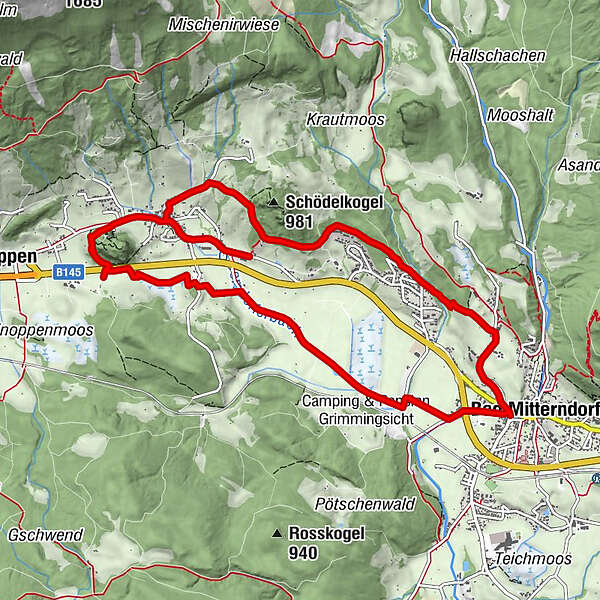
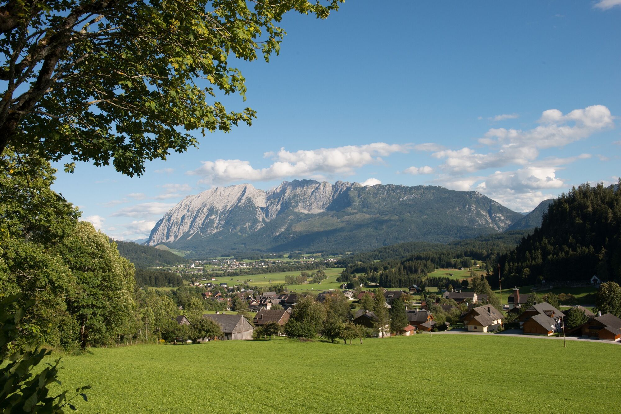
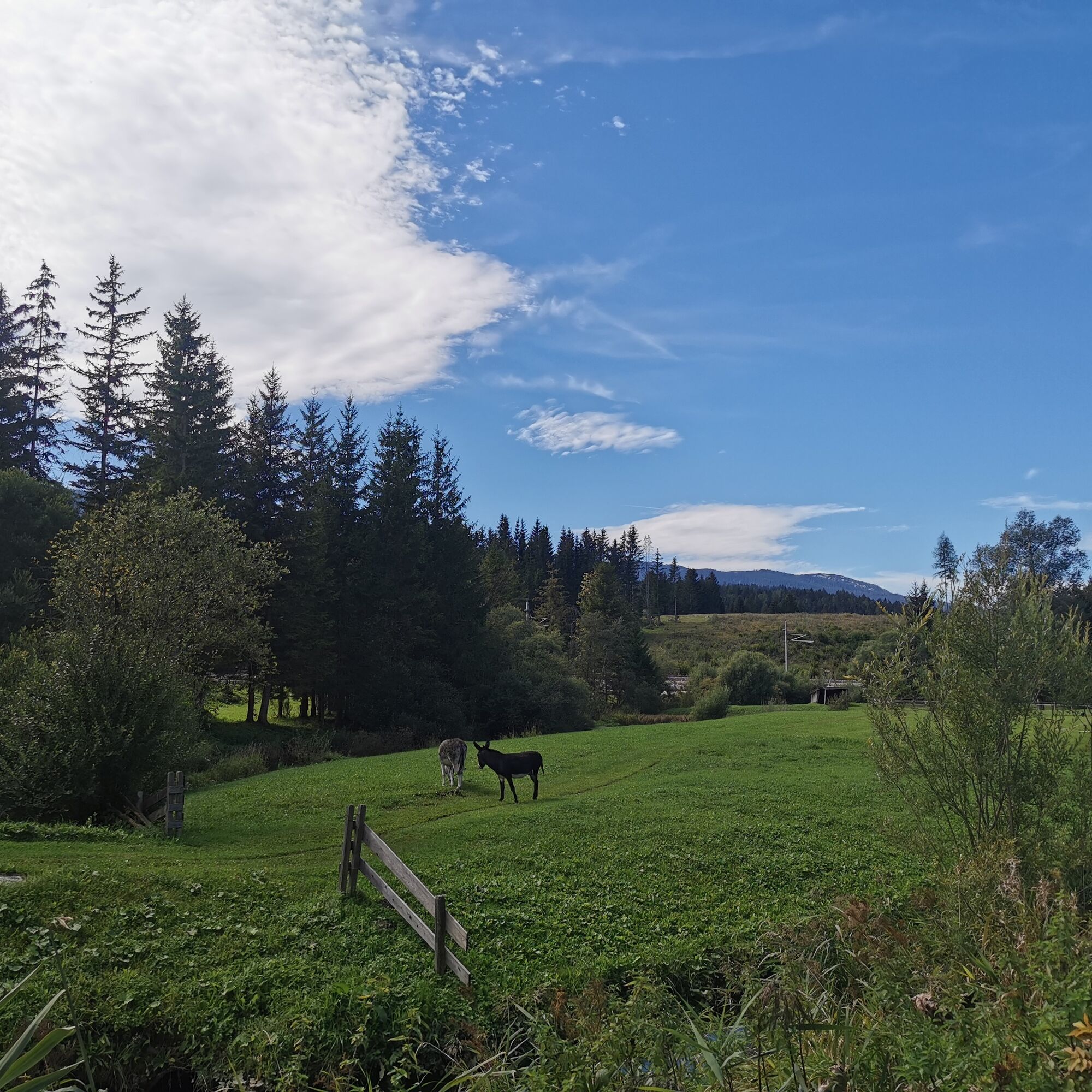
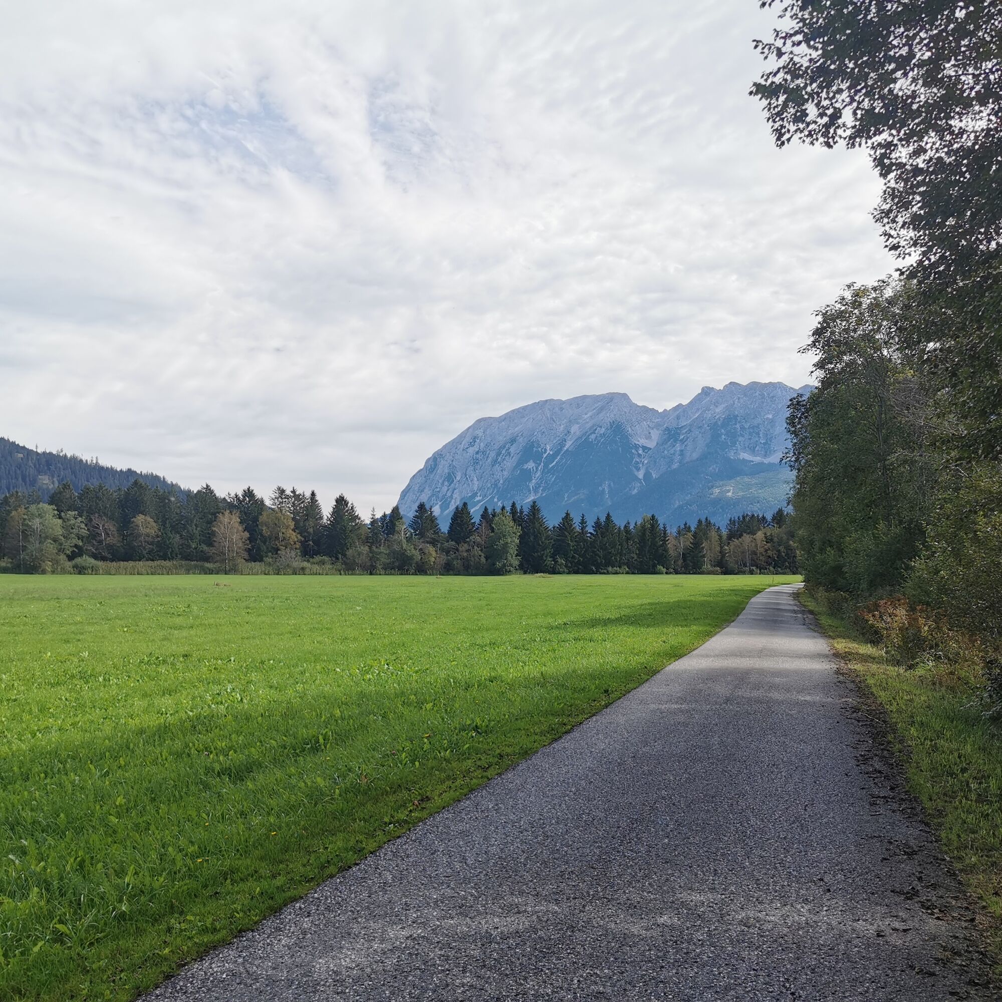
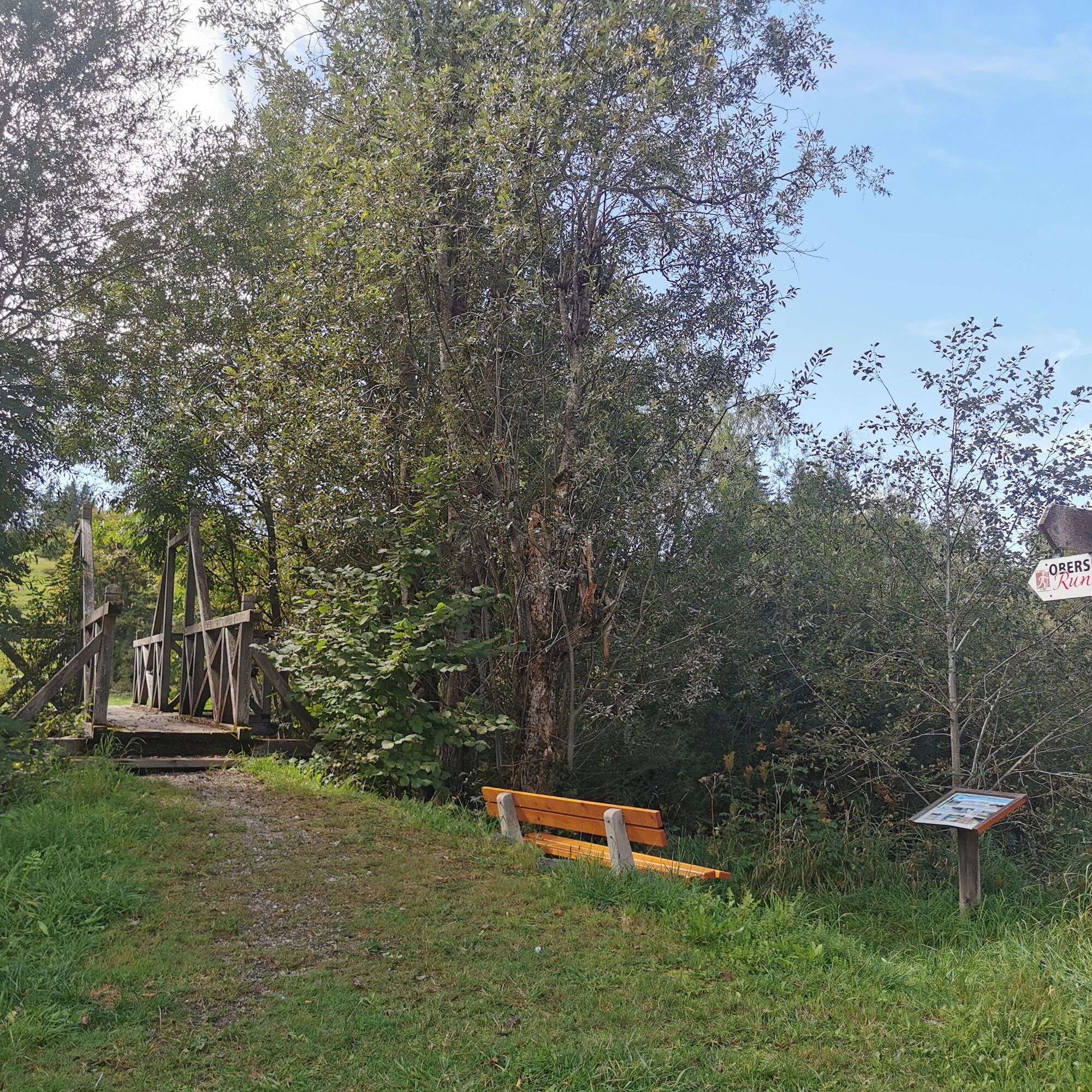
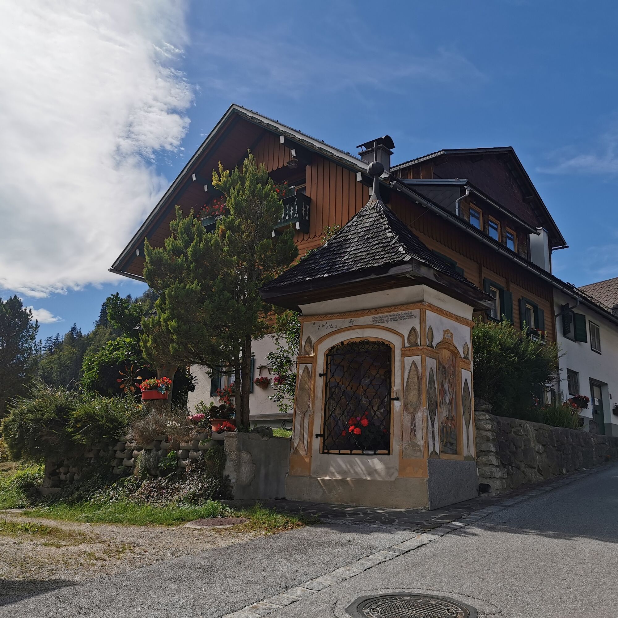
The Obersdorf circular trail opens up the area between Bad Mitterndorf and Obersdorf and uses 20 stations to explain what makes this region so special. Enjoy a light-hearted and relaxing hike through the beautiful landscape. It is worthwhile to take a close look at nature and the landscape between the individual theme stations.
- Teškoća
-
lagano
- Vrednovanje
-
- Wegverlauf
-
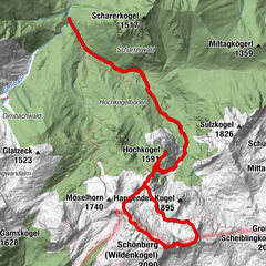
Bad Mitterndorf0,0 kmSonnenalm2,3 kmGasthof zum Sandlweber5,9 kmObersdorf6,3 kmMelzen6,7 kmMaria Kumitz6,8 kmBad Mitterndorf11,8 km
- Beste Jahreszeit
-
sijveljožutrasvilipsrpkolrujlisstupro
- Höchster Punkt
- 879 m
- Zielpunkt
-
is the starting point
- Höhenprofil
-

- Autor
-
Die Tour Obersdorf circular hiking trail - Nordic Walking wird von outdooractive.com bereitgestellt.
GPS Downloads


Opće informacije
Einkehrmöglichkeit
Flora
Fauna
Weitere Touren in den Regionen
-
Ausseerland - Salzkammergut
3382
-
Gröbminger Land
1190
-
Bad Mitterndorf
290