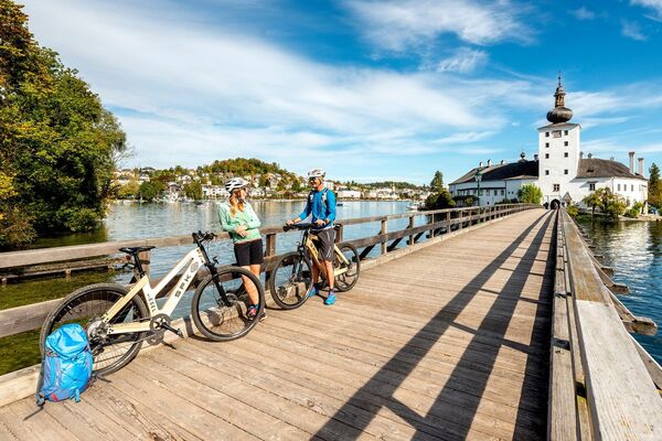
© TVB Ausseerland Salzkammergut - Tom Lamm

© TVB Ausseerland Salzkammergut - Tom Lamm

© TVB Ausseerland Salzkammergut - Tom Lamm

© TVB Ausseerland Salzkammergut - Tom Lamm

- Kratak opis
-
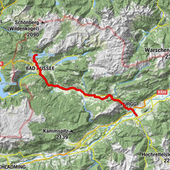
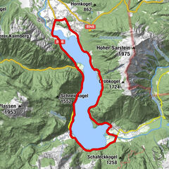
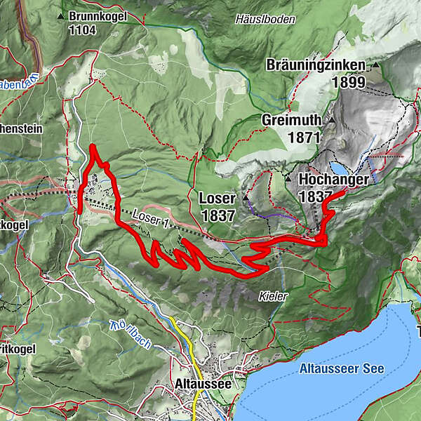
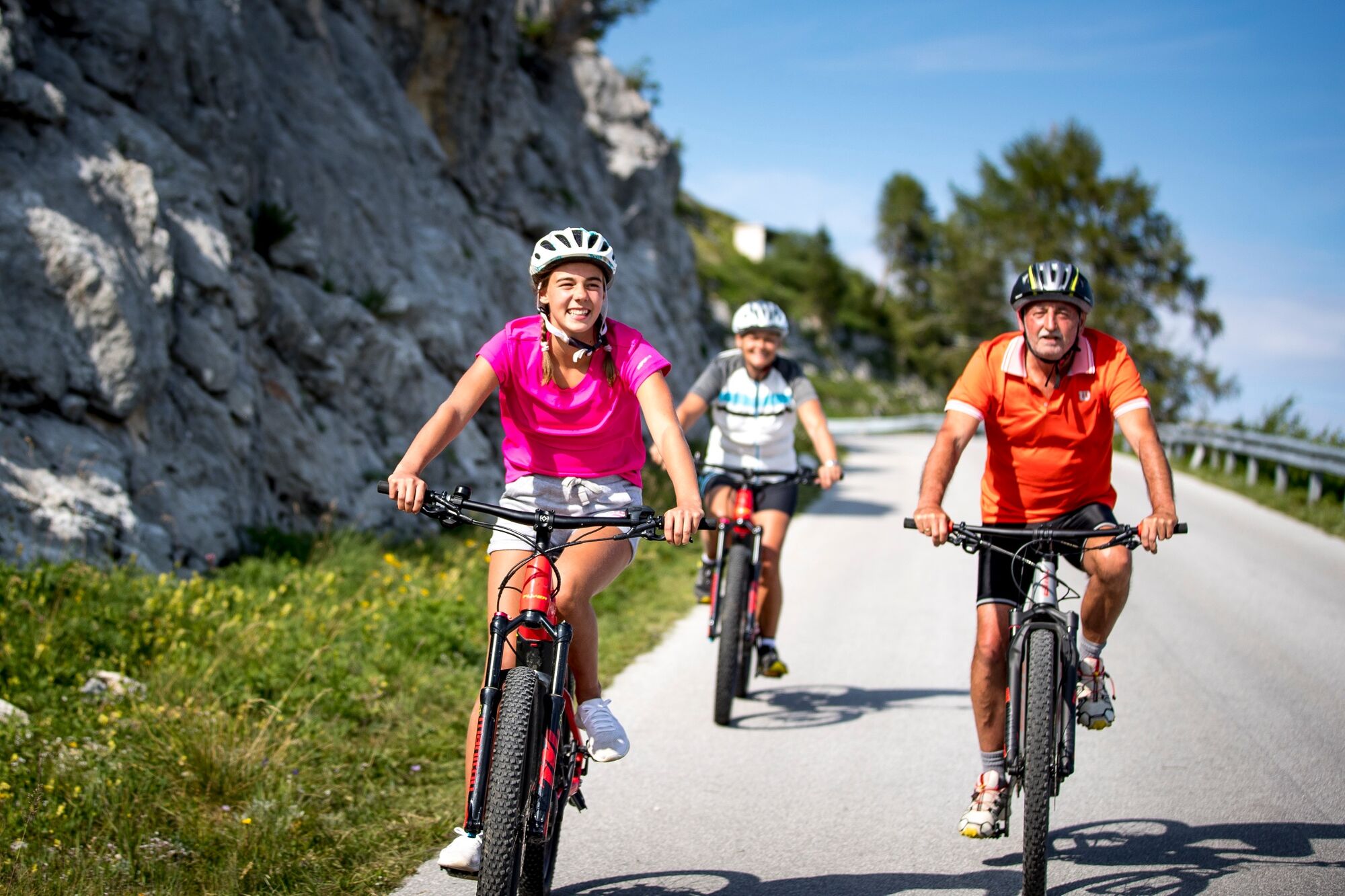
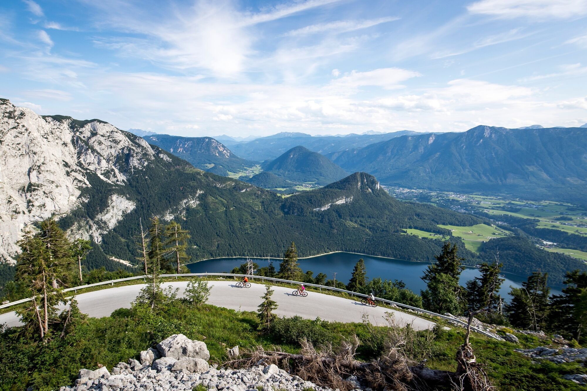
From the Loserarena (valley station of the Loser cable cars) along the nine-kilometer panoramic road up to 1,600 m.
- Teškoća
-
srednje
- Vrednovanje
-
- Wegverlauf
-
Jagdhof0,1 kmLoserhütte (1.498 m)7,3 kmDimmelwand9,0 kmJagdhof17,1 km
- Beste Jahreszeit
-
sijveljožutrasvilipsrpkolrujlisstupro
- Höchster Punkt
- 1.602 m
- Zielpunkt
-
Parking lot at the end of Loserstrasse
- Höhenprofil
-


- Autor
-
Die Tour Loser panoramic road with the e-bike wird von outdooractive.com bereitgestellt.
GPS Downloads


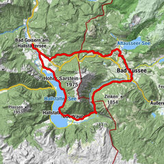
Opće informacije
Einkehrmöglichkeit
Aussichtsreich
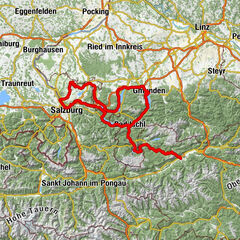
Weitere Touren in den Regionen