Tauplitzalm Alpenstraße by E-Bike

Logo Tauplitzalm Alpenstraße by E-Bike
Podaci o ruti
20,67km
825 - 1.655m
Distanz
781hm
770hm
Aufstieg
02:15h
 
Dauer
Kratak opis

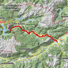
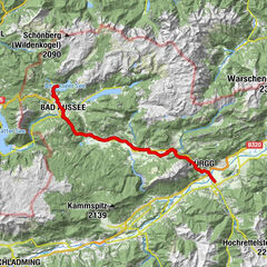
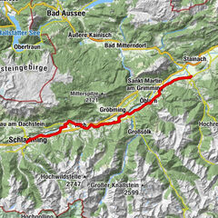
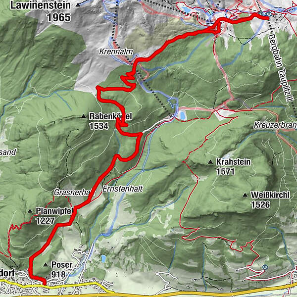
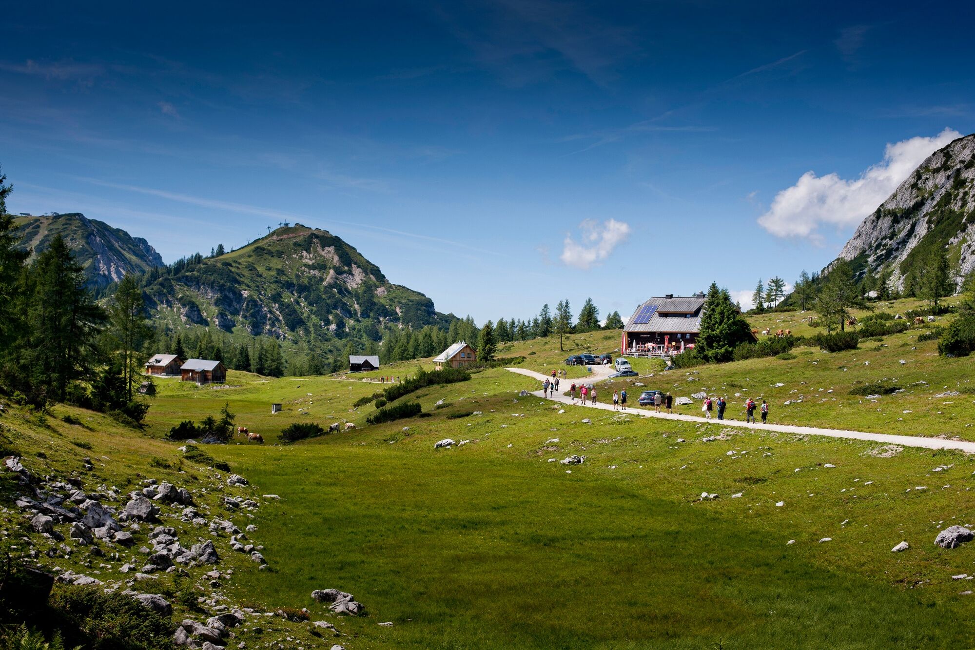
Via the Tauplitzalm Alpine Road to the highest lake plateau in Europe: the Tauplitzalm

Teškoća
srednje
Vrednovanje
Tehnika
Kondicija
Krajolik
Doživljaj
Wegverlauf
Muskatnuss
0,0 km
Thörl
0,2 km
Schöni Alm
7,5 km
Berggasthof Hollhaus
11,5 km
Hollhaus (Theodor-Karl-)
11,5 km
Schöni Alm
13,0 km
Thörl
20,4 km
Muskatnuss
20,7 km

Beste Jahreszeit
sij
velj
ožu
tra
svi
lip
srp
kol
ruj
lis
stu
pro
Höchster Punkt
1.655 m
Zielpunkt

Tauplitzalm

Höhenprofil

Autor
Die Tour Tauplitzalm Alpenstraße by E-Bike wird von outdooractive.com bereitgestellt.

Gesamtbewertung

5

0

%

4

0

%

3

0

%

2

0

%

1

0

%

Error
Ein Fehler ist aufgetreten. Bitte versuche es erneut.
Vielen Dank für deine Bewertung

Bewertung wurde gelöscht

GPS Downloads
  • GPX GPS Exchange Format (XML)
  • KML Google Earth, Google Maps
QR Download Codes für Mobiltelefone

Opće informacije

Einkehrmöglichkeit
Flora
Aussichtsreich
Weitere Touren in den Regionen

Beliebte Touren in der Umgebung

R19 Salzkammergutradweg

41,43km | 422hm | 06:00h

Gravel Bike - Five-Mountains Tour | 10

teška
55,21km | 1442hm | 05:50h

Irdning - Alt Aussee

srednje
37,15km | 201hm | 04:30h

Etappe 02 Ennsradweg Schladming - Irdning

lagano
40,63km | 166hm | 04:00h