© Erlebnisregion Thermen- & Vulkanland - Bernhard Bergmann

© Erlebnisregion Thermen- & Vulkanland - Infobüro Bad Waltersdorf

© Erlebnisregion Thermen- & Vulkanland - Infobüro Bad Waltersdorf

© Erlebnisregion Thermen- & Vulkanland - Ingrid Jansky

© Erlebnisregion Thermen- & Vulkanland - Infobüro Bad Waltersdorf

© Erlebnisregion Thermen- & Vulkanland - Mias Photoart

© Bad Waltersdorf - Thermenland Süd- & Oststeiermark Marketing GmbH
- Kratak opis
-
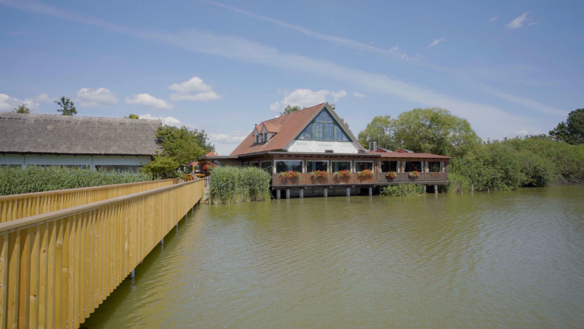
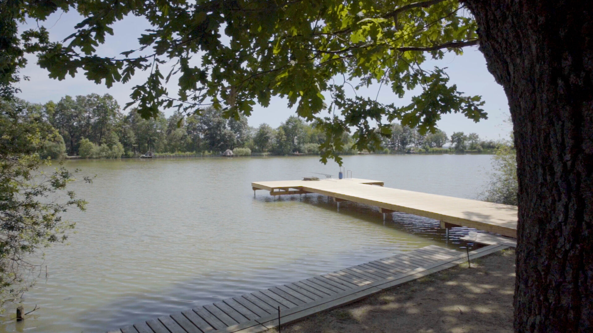
Cycle through hilly landscapes in as well as around Bad Waltersdorf and past the Harter Teich!
- Teškoća
-
srednje
- Vrednovanje
-
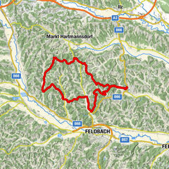
- Wegverlauf
-
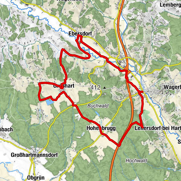
Bad WaltersdorfPfarrkirche hl. Margaretha0,0 kmNeustift bei Sebersdorf3,2 kmEbersdorf5,5 kmHarras10,5 kmGroßhart11,6 kmAuffen12,8 kmLindenhof Straußenwirt12,8 kmKapelle Auffen12,9 kmTeichschenke15,1 kmGroßhart15,9 kmOrtskapelle19,2 kmHohenbrugg19,3 kmBad Waltersdorf24,7 kmPfarrkirche hl. Margaretha25,2 km
- Beste Jahreszeit
-
sijveljožutrasvilipsrpkolrujlisstupro
- Höchster Punkt
- 449 m
- Zielpunkt
-
Information Office Bad Waltersdorf
- Höhenprofil
-


-

-
AutorDie Tour R33 Harter Teich bike path (Harter Teich-Radweg) wird von outdooractive.com bereitgestellt.
GPS Downloads


Opće informacije
Einkehrmöglichkeit
Flora
Aussichtsreich
Weitere Touren in den Regionen
-
Thermen- & Vulkanland
346
-
Bad Waltersdorf
214
-
Ebersdorf
91