© Weges OG

© Weges OG

© Weges OG

© Weges OG

© Weges OG

© Weges OG

© Weges OG

- Kratak opis
-
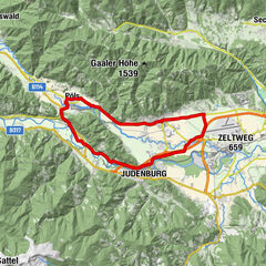
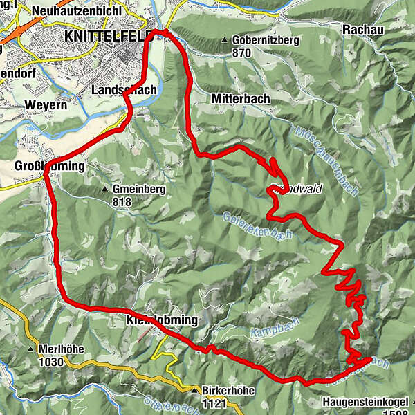
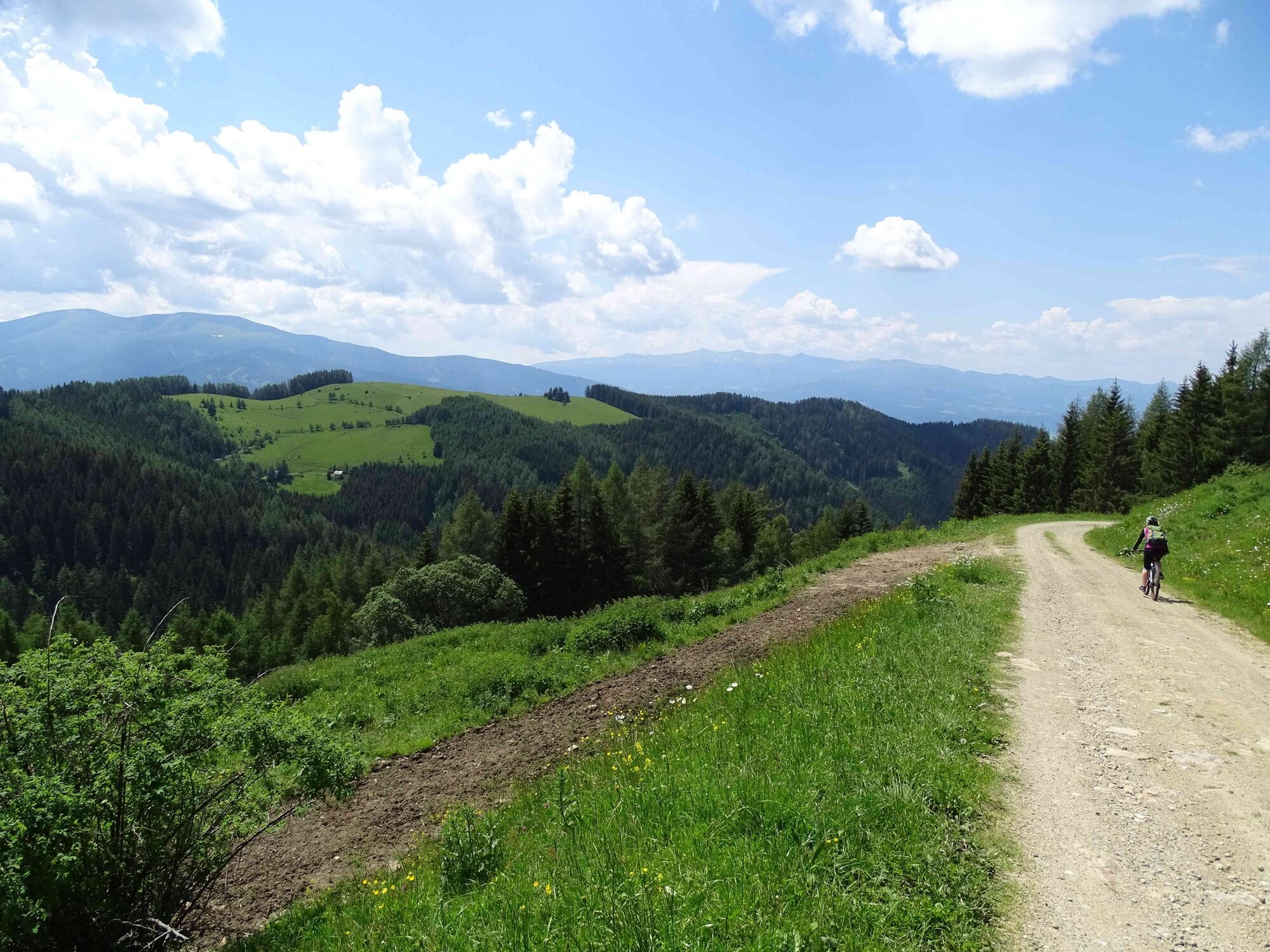
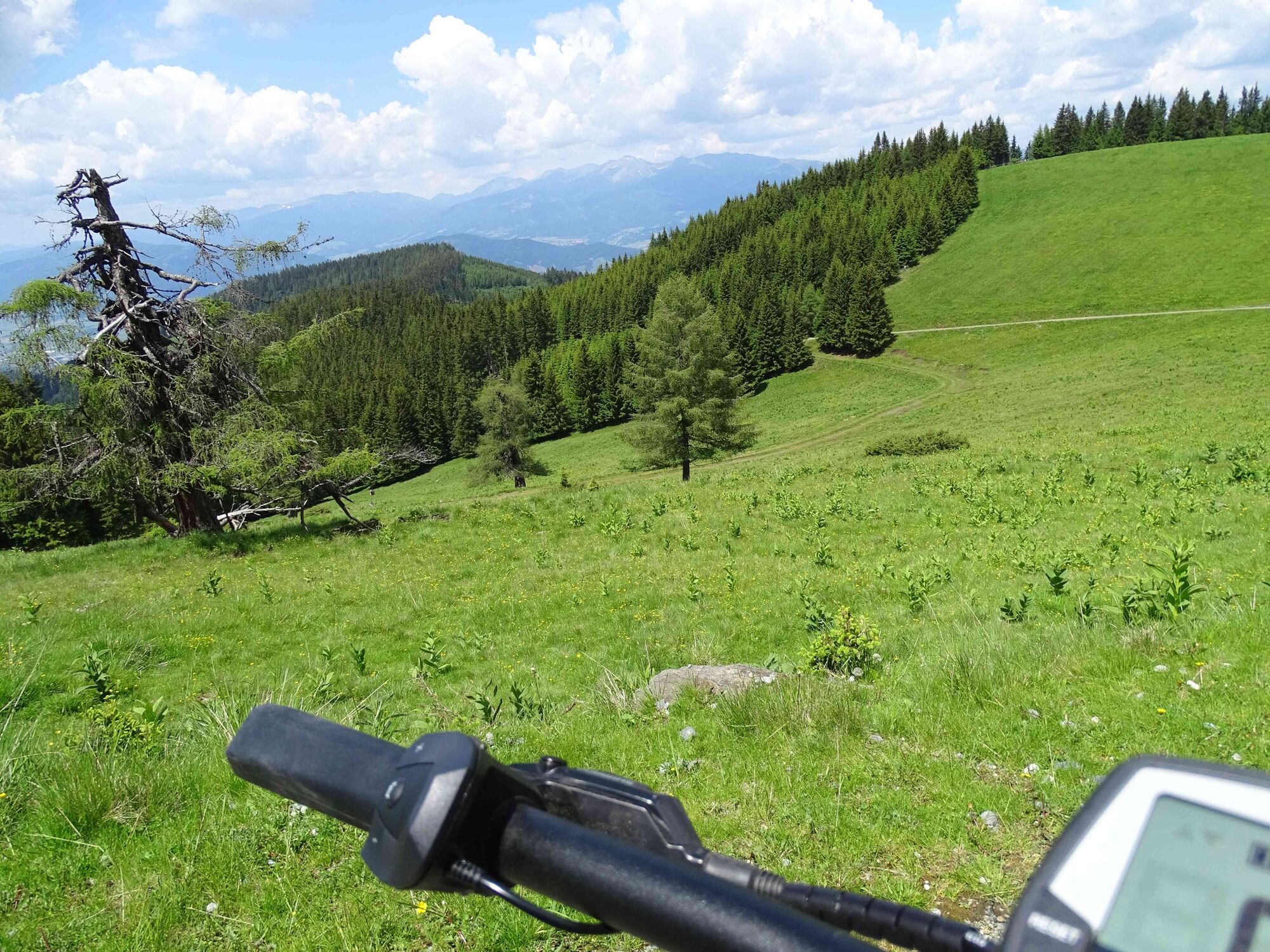
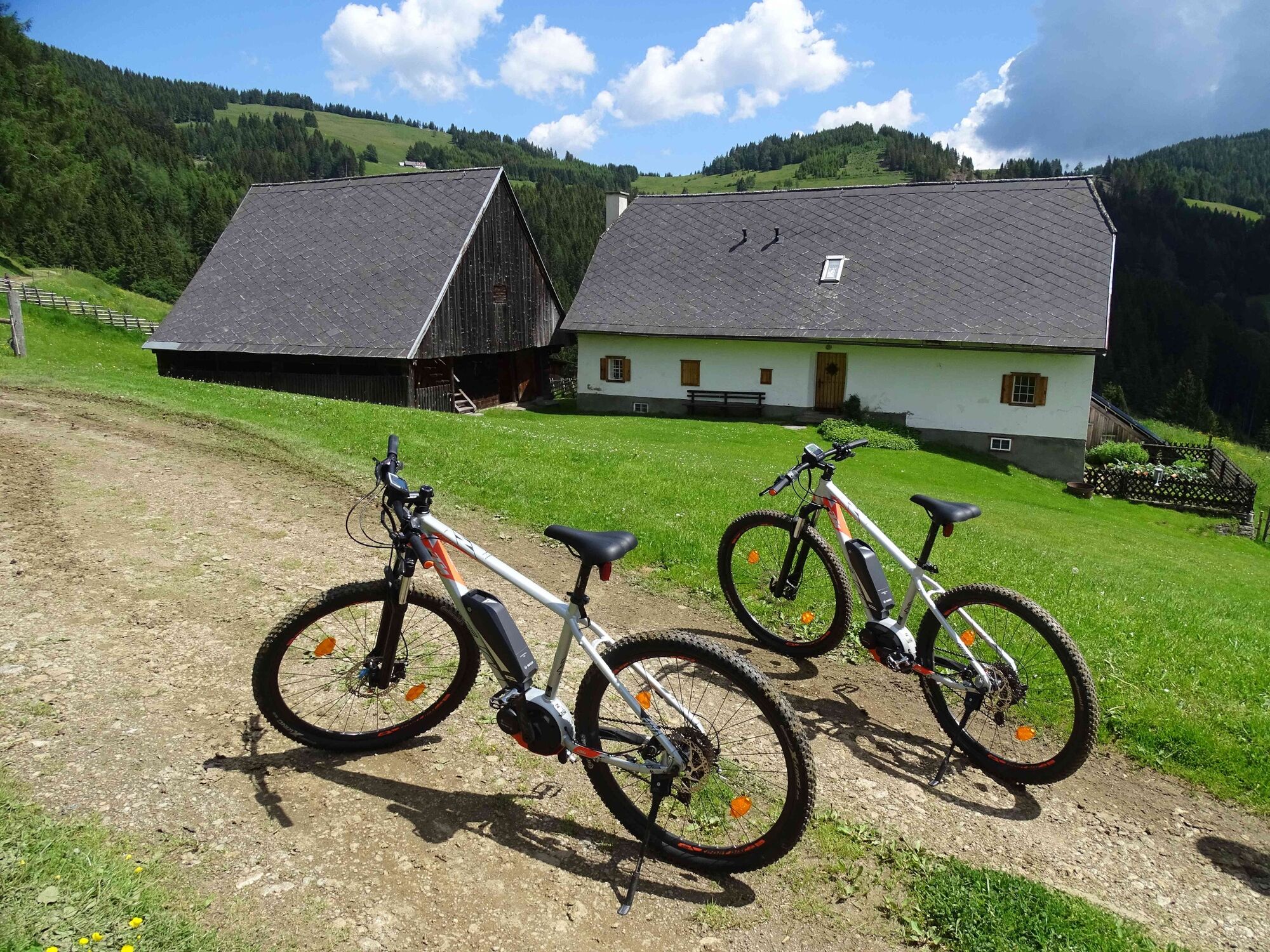
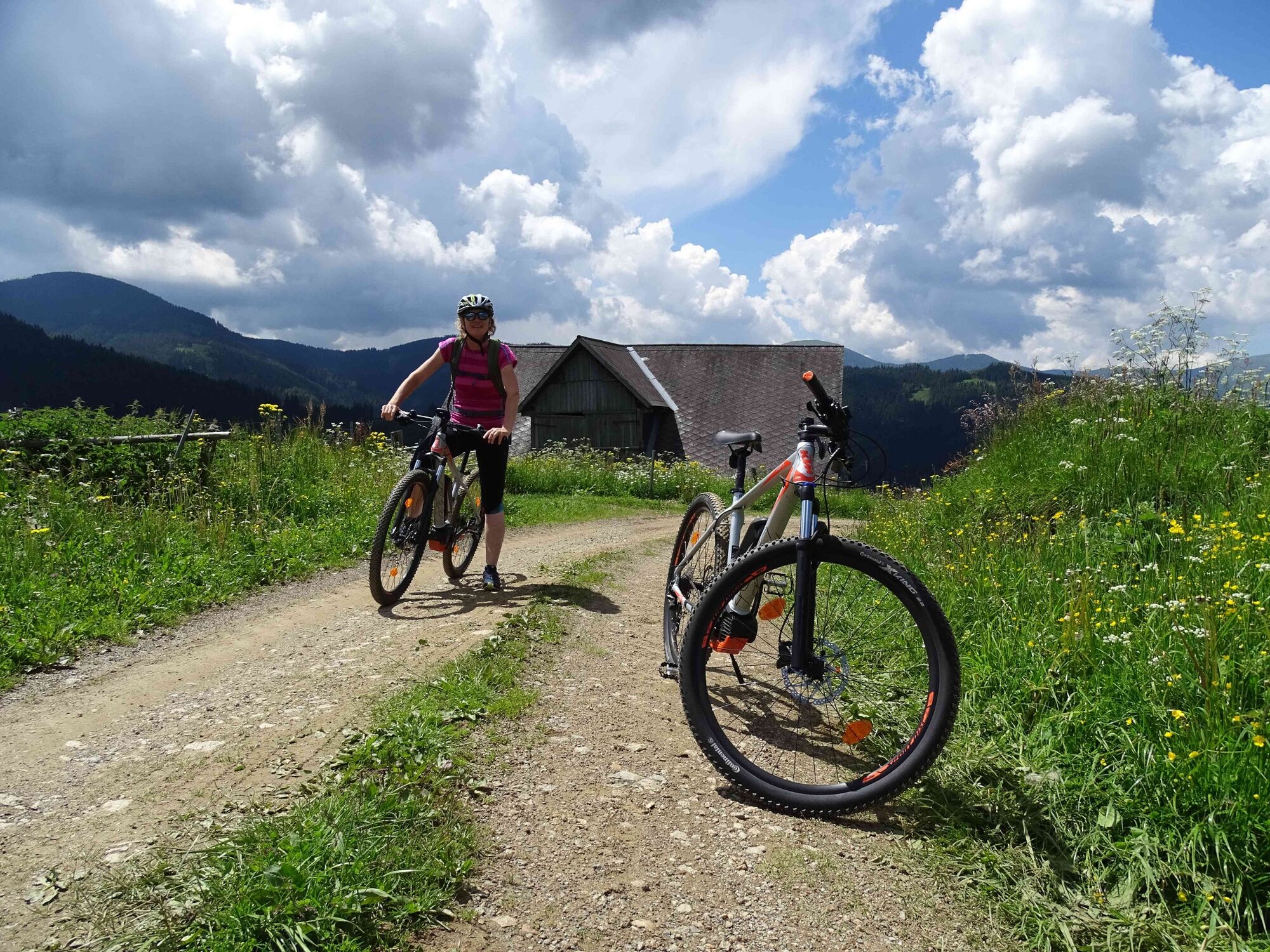
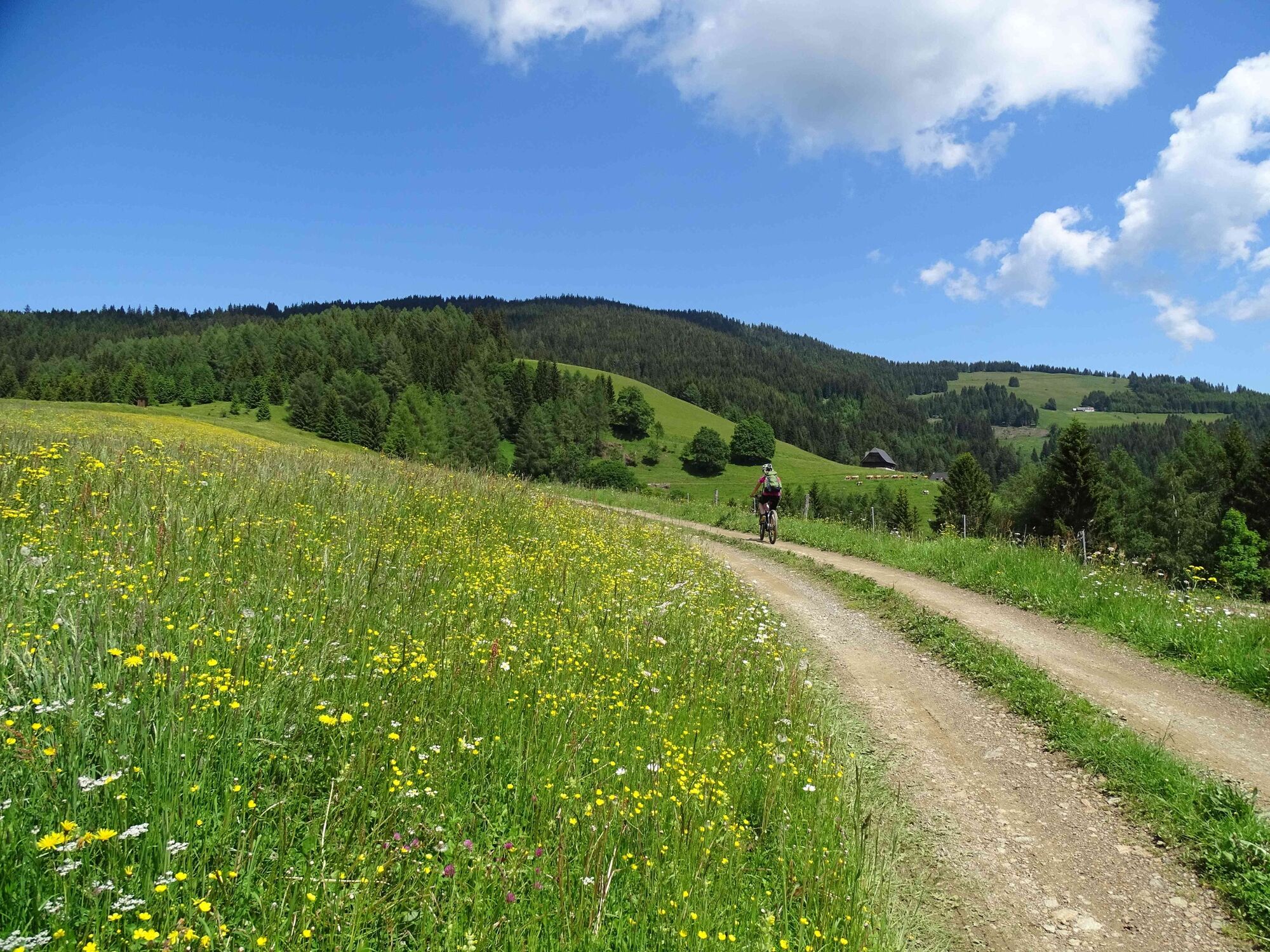
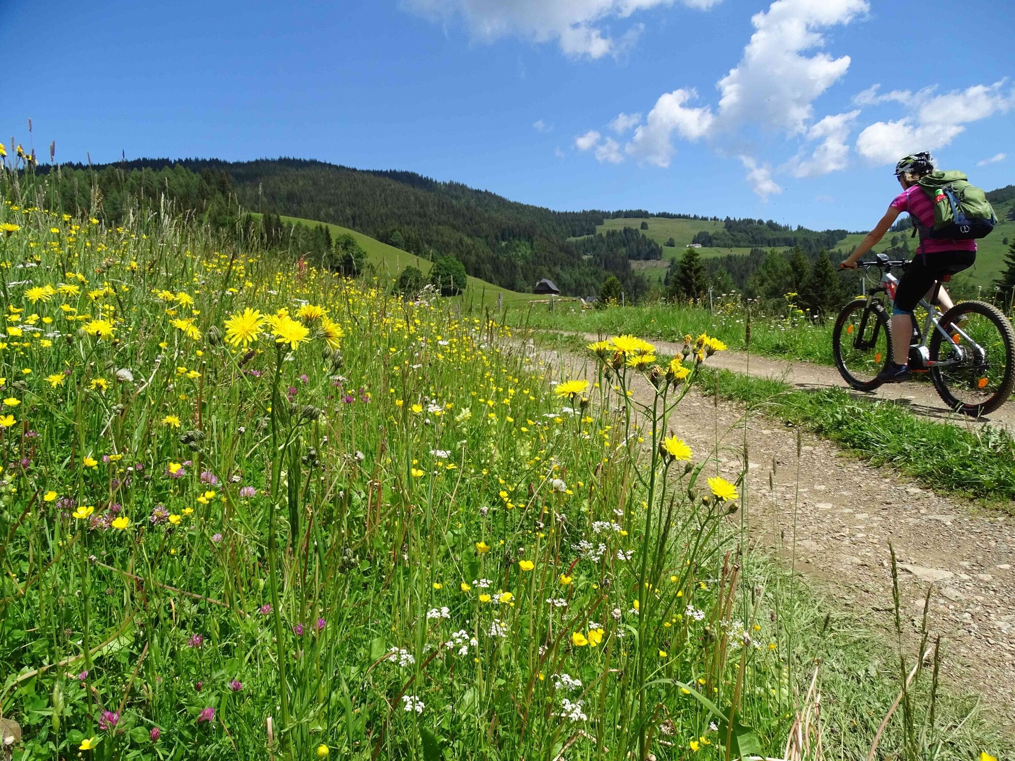
This e-bike tour from Knittelfeld in the Murtal adventure region in Styria is a successful mix of scenic attractions, a good place to stop for refreshments and a summit at 1670 metres above sea level with great views.
- Teškoća
-
srednje
- Vrednovanje
-
- Wegverlauf
-
Landschach0,0 kmEinödhof1,0 kmApfelberg1,5 kmGroßlobming2,6 kmMitterlobming4,9 kmKleinlobming8,5 kmHintertal10,8 kmSteinplan (1.670 m)21,5 kmGobernitz33,5 kmKnittelfeld34,5 kmLandschach35,9 km
- Beste Jahreszeit
-
sijveljožutrasvilipsrpkolrujlisstupro
- Höchster Punkt
- 1.650 m
- Zielpunkt
-
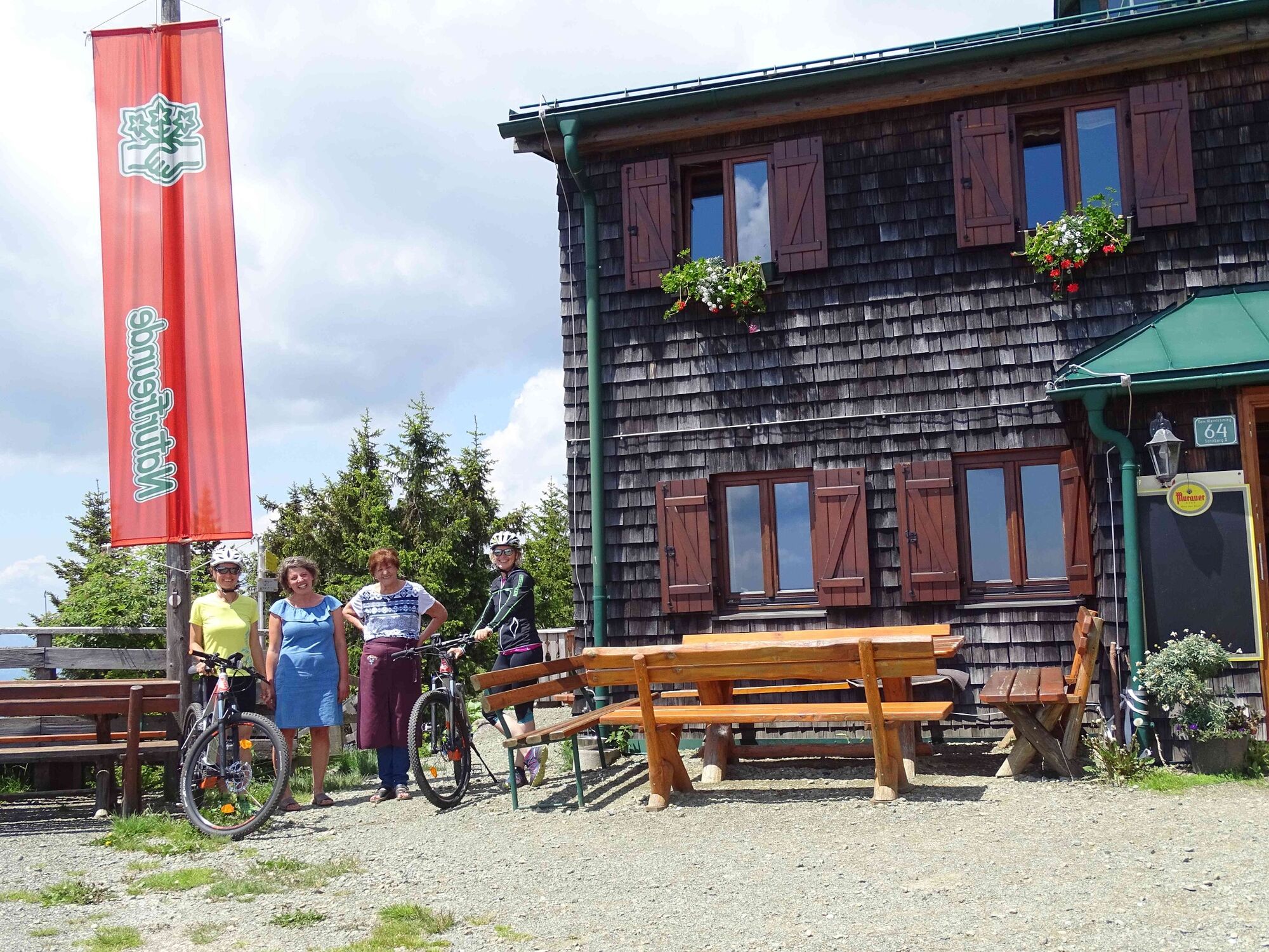
Gasthof Hoffelner
- Höhenprofil
-

-

-
AutorDie Tour Steinplan - Knittelfeld's local mountain wird von outdooractive.com bereitgestellt.
GPS Downloads


Opće informacije
Einkehrmöglichkeit
Aussichtsreich
Weitere Touren in den Regionen