© Tourismusverband Grimming-Donnersbachtal - Roland Gutwenger

© Erlebnisregion Schladming-Dachstein - Roland Gutwenger

© Erlebnisregion Schladming-Dachstein - Roland Gutwenger

© Erlebnisregion Schladming-Dachstein - Roland Gutwenger

© Erlebnisregion Schladming-Dachstein - Roland Gutwenger

© Erlebnisregion Schladming-Dachstein - Roland Gutwenger
© Erlebnisregion Schladming-Dachstein - Roland Gutwenger

- Kratak opis
-
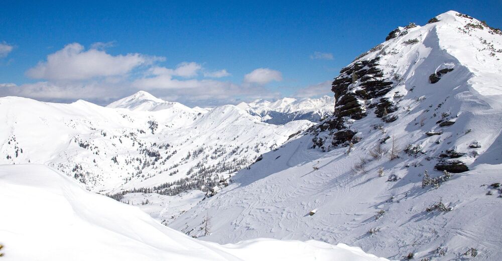
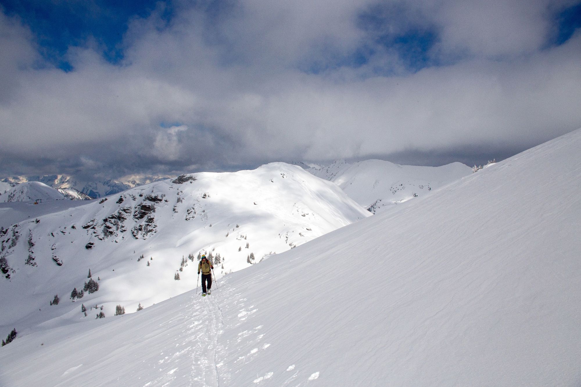
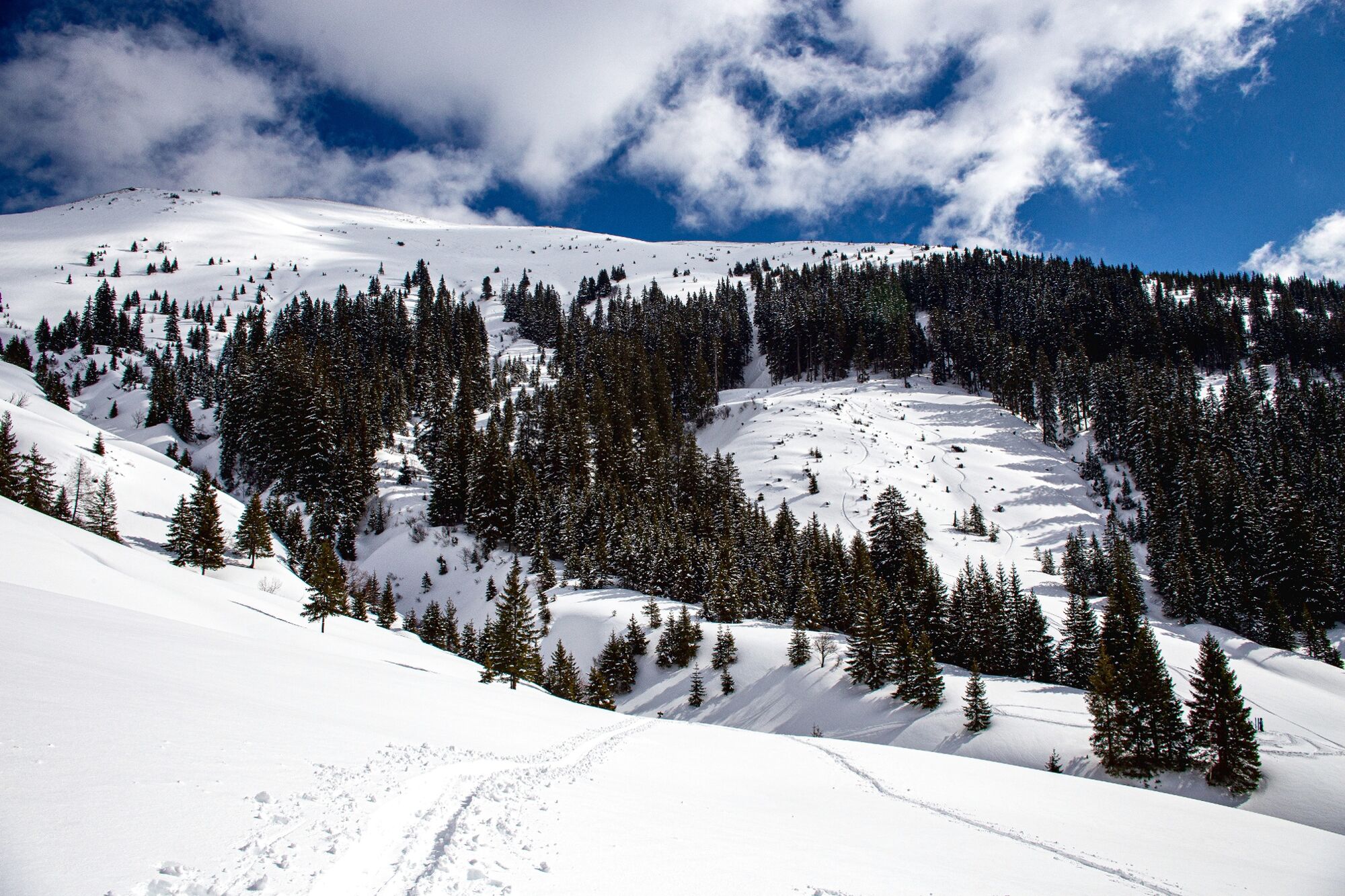
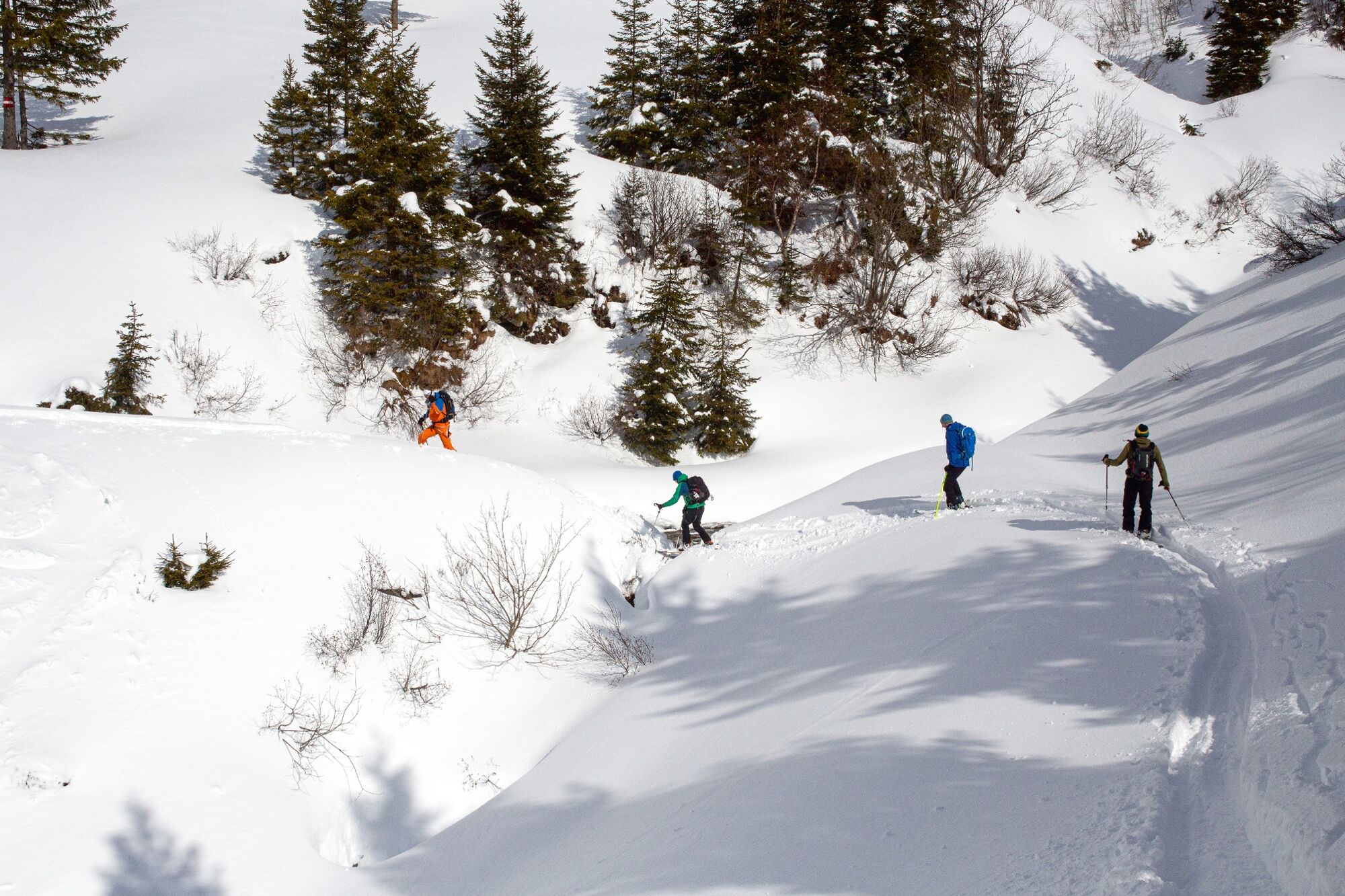
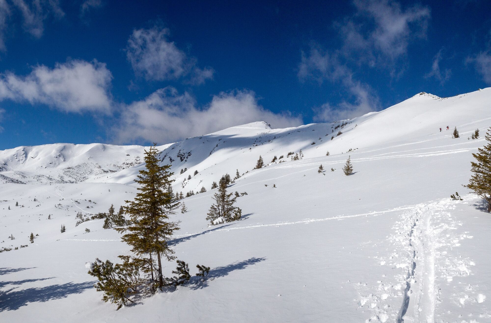
Skinning up, skiing down, skinning up, skiing down. And in between enjoy the fascinating mountain panorama and the wonderful deep snow.
- Teškoća
-
srednje
- Vrednovanje
-
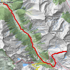
- Wegverlauf
-
Großer Rotbühel (2.019 m)0,3 kmPlientensattel (1.902 m)0,6 kmHintergullingspitz (2.054 m)1,1 kmStallaalm2,4 kmGoldbachalm2,9 kmGoldbachscharte (1.960 m)4,5 km
- Beste Jahreszeit
-
kolrujlisstuprosijveljožutrasvilipsrp
- Höchster Punkt
- 2.044 m
- Zielpunkt
-
At the starting point
- Exposition
- Höhenprofil
-


-

-
AutorDie Tour Hintergullingspitz wird von outdooractive.com bereitgestellt.
GPS Downloads


Opće informacije
Aussichtsreich
Weitere Touren in den Regionen