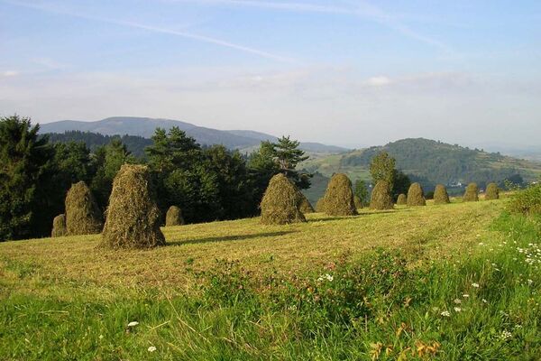
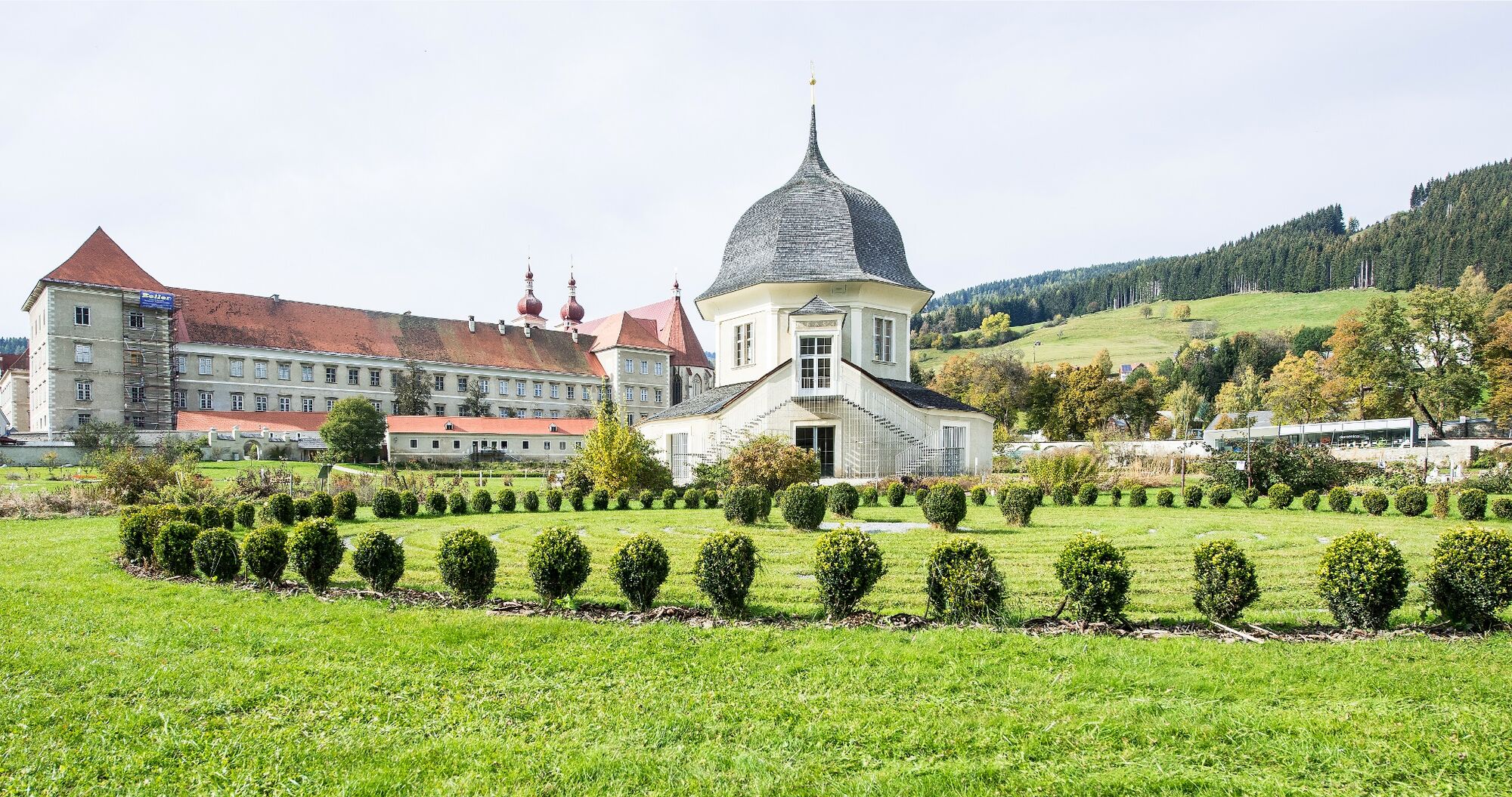
© Holzwelt Murau - Tom Lamm

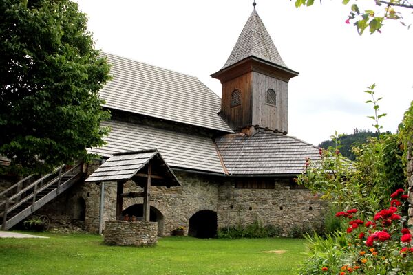
© Tourismusverband Region Murau - cstrobl

- Kratak opis
-
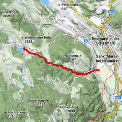
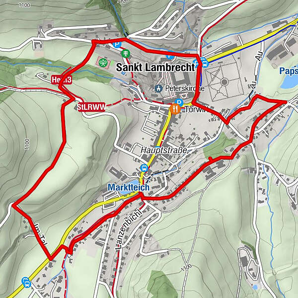
The circular route “Ice Dam St. Lambrecht” leads through the area around the town of the same name. In the last part of the cold period, there was an ice reservoir initially five kilometers long in the high valley. The fascinating evidence of the former ice reservoir is still impressively visible at the three experience points on the circular route.
- Teškoća
-
lagano
- Vrednovanje
-
- Wegverlauf
-
Sankt Lambrecht2,5 km
- Beste Jahreszeit
-
sijveljožutrasvilipsrpkolrujlisstupro
- Höchster Punkt
- 1.072 m
- Zielpunkt
-
St. Lambrecht (Aussichtsplattform vor der Schule) 49 / 5.000 Übersetzungsergebnisse Übersetzung St. Lambrecht (viewing platform in front of the school)
- Höhenprofil
-


- Autor
-
Die Tour Eisstausee St. Lambrecht wird von outdooractive.com bereitgestellt.
GPS Downloads


Opće informacije
Einkehrmöglichkeit
Aussichtsreich
Weitere Touren in den Regionen