© Weges OG

© Weges OG

© Weges OG

© Weges OG

© Weges OG

© Weges OG

© Weges OG

© Weges OG

© Weges OG

© Weges OG
- Kratak opis
-
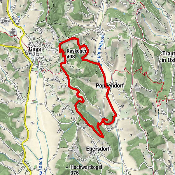
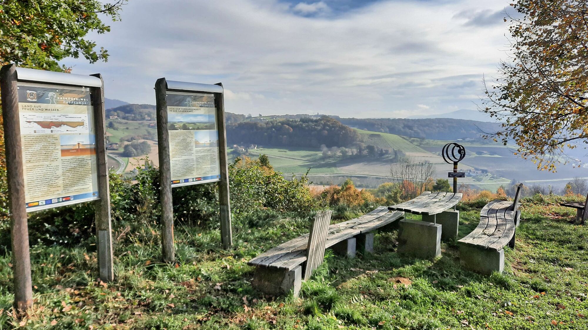
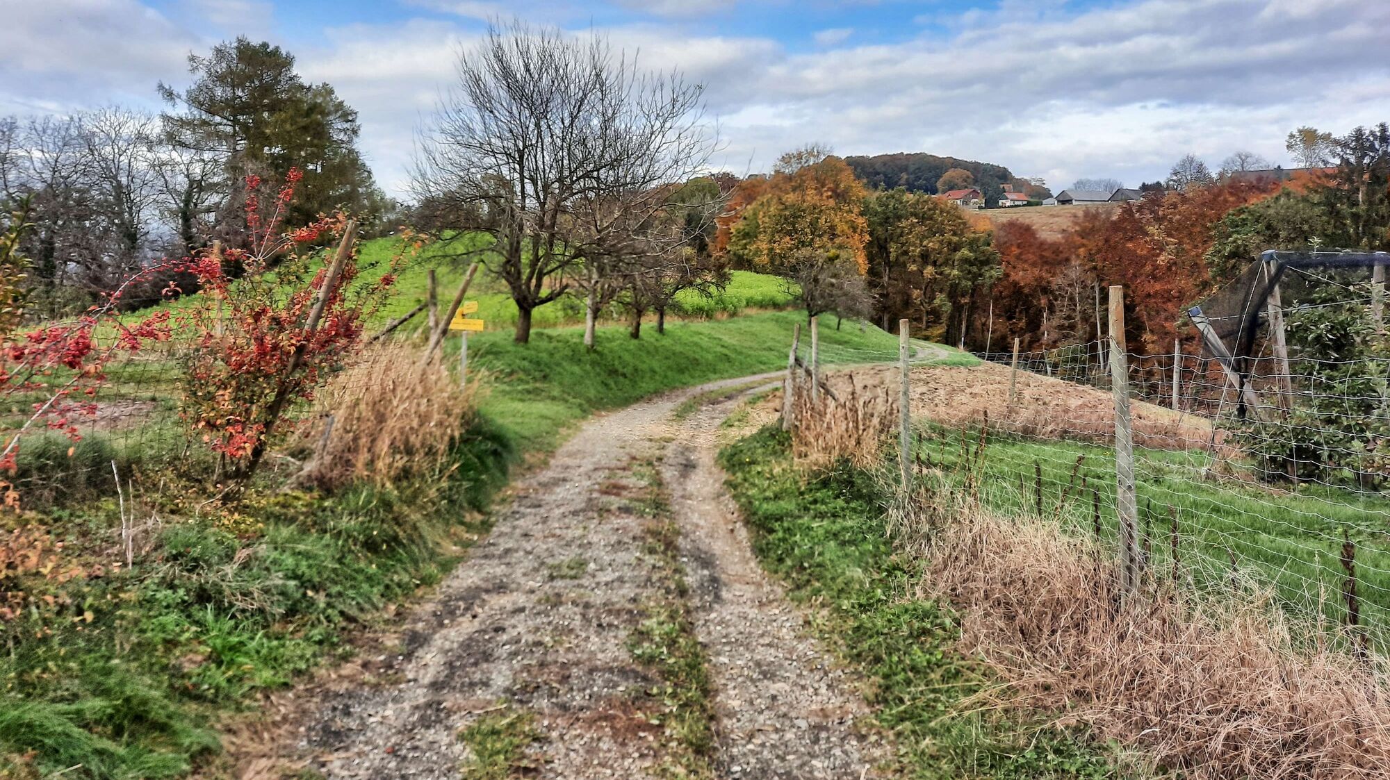
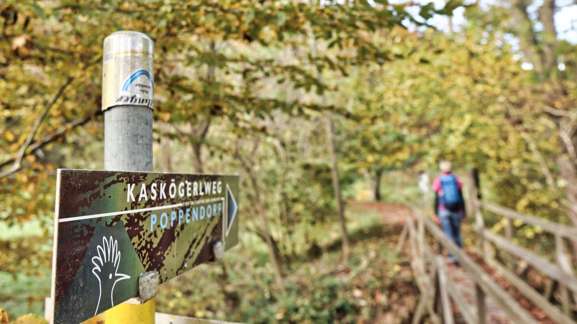
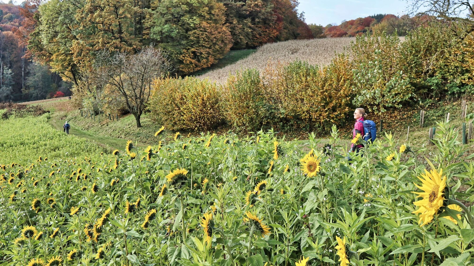
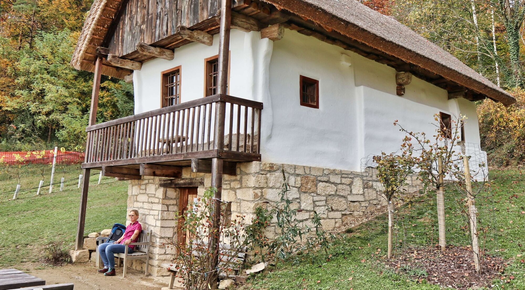
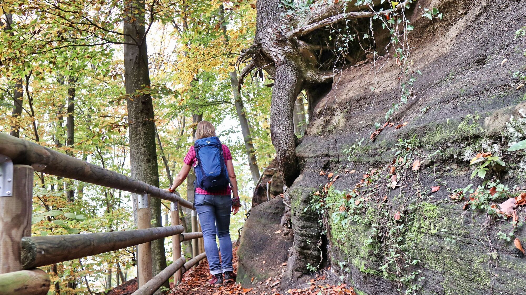
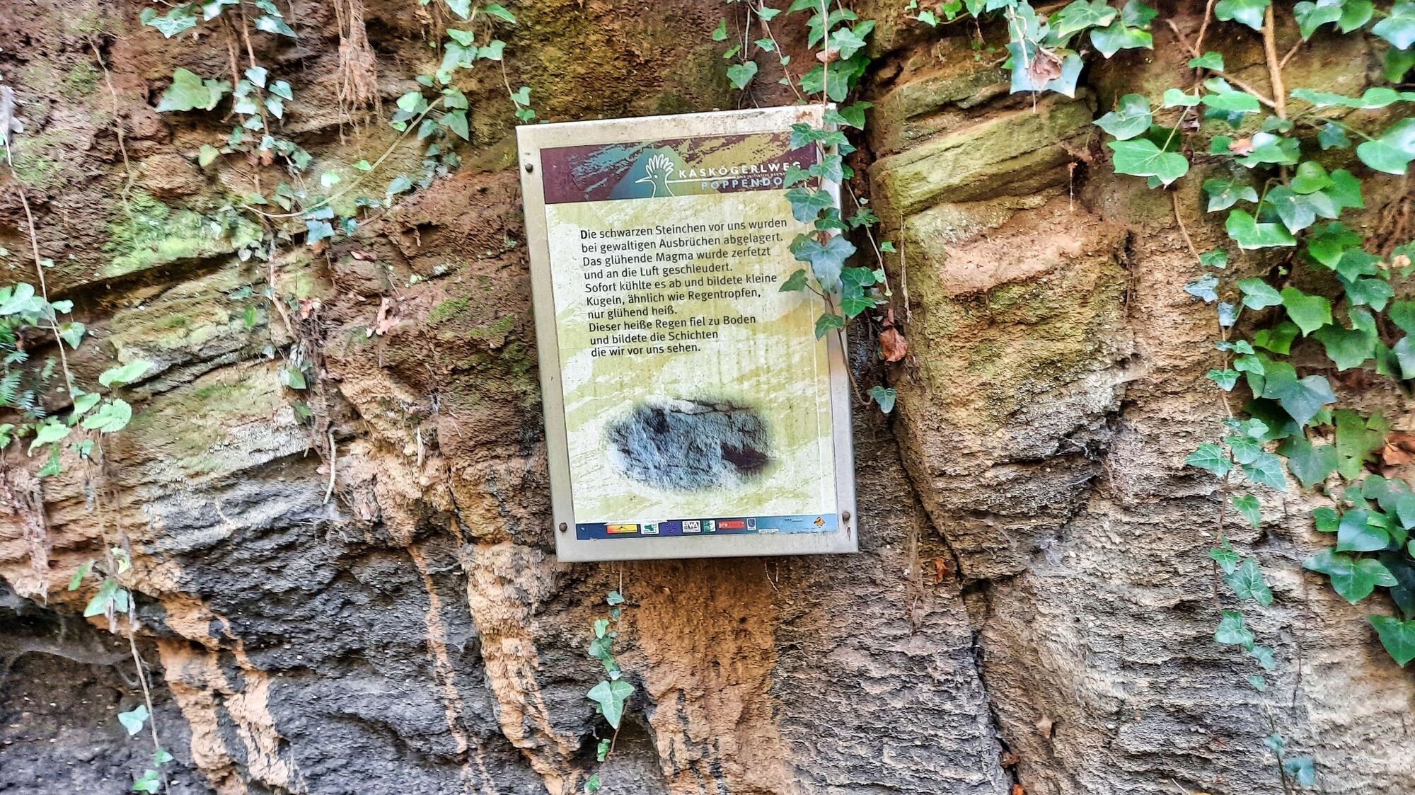
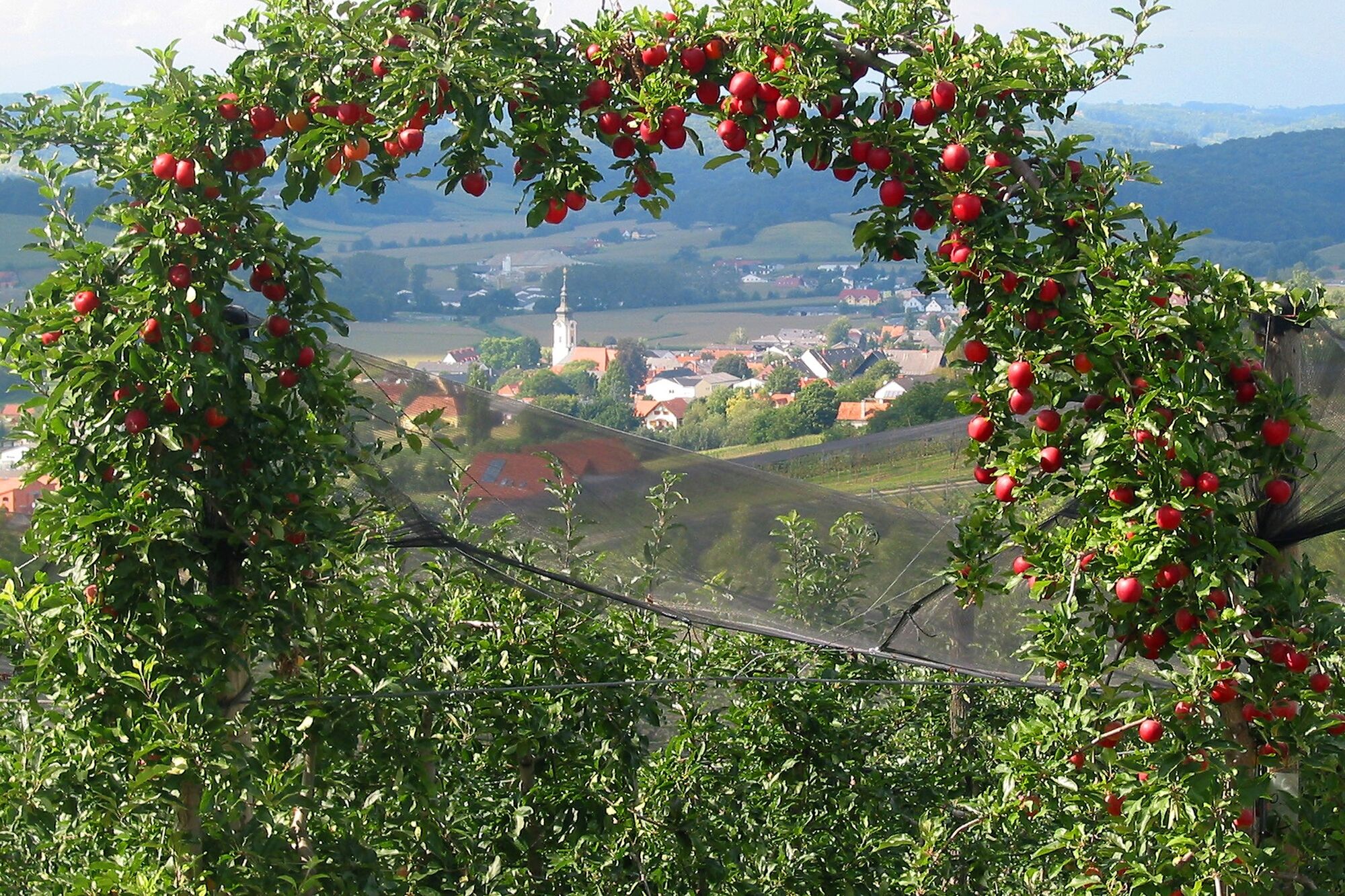
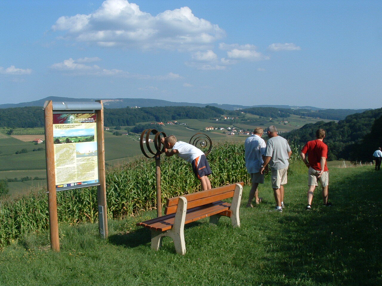
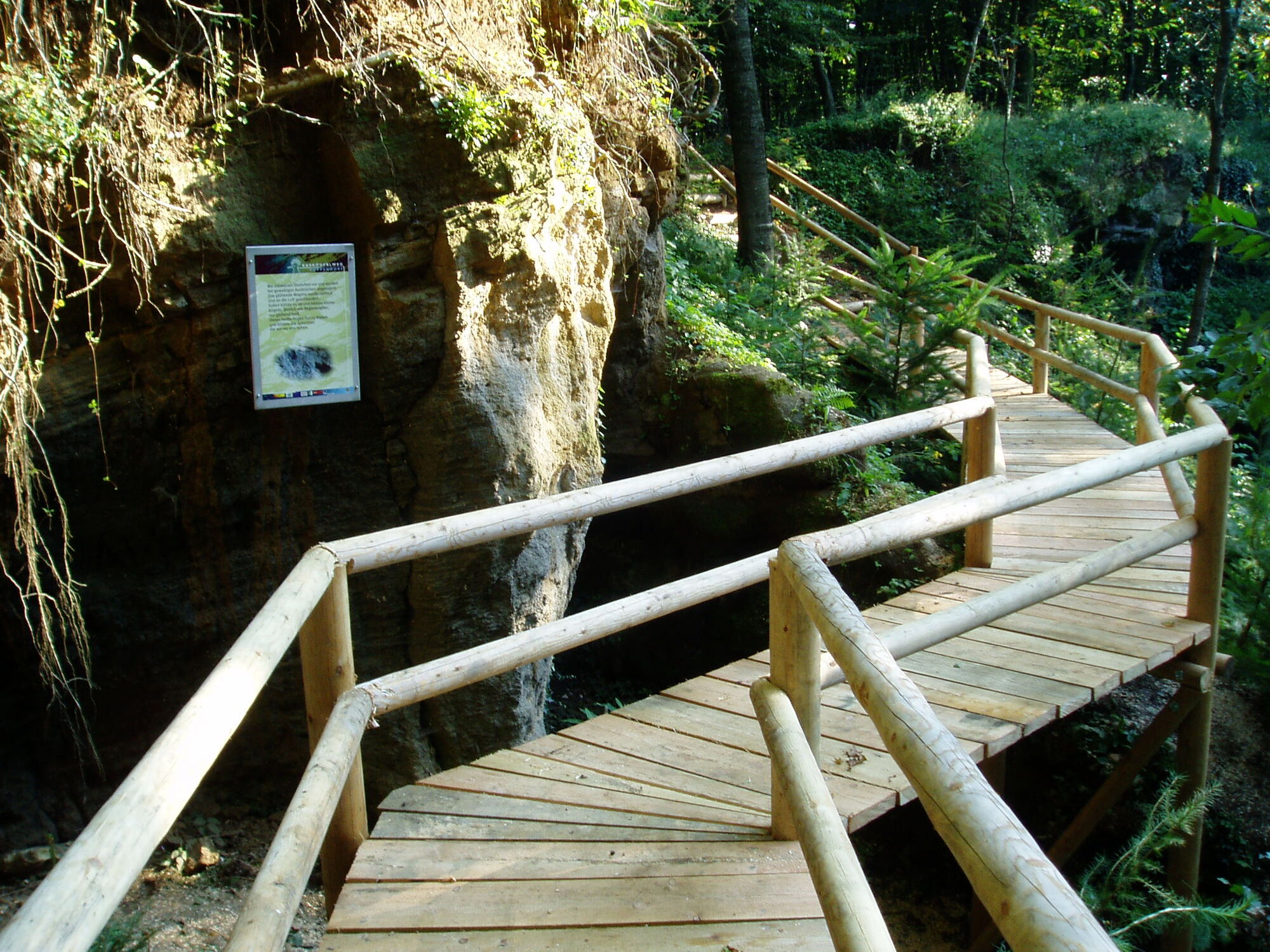
This well-marked hiking trail leads over rolling hills, beautiful forests and meadows, as well as through well-tended orchards - numerous information boards and rest stops invite you to linger.
- Teškoća
-
lagano
- Vrednovanje
-
- Wegverlauf
-
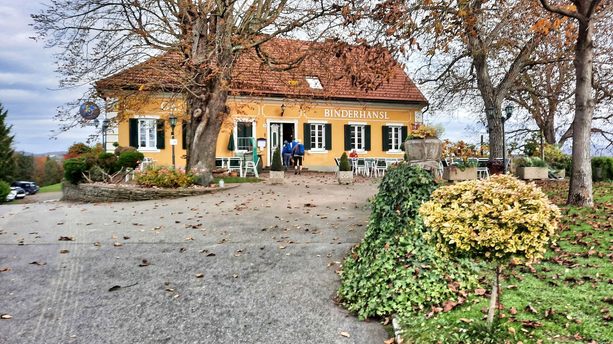
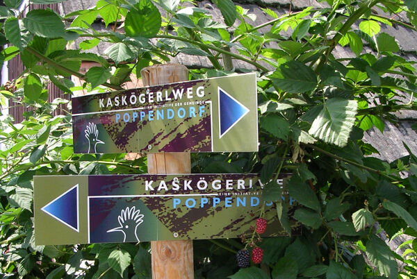
Binderhansl0,1 kmTofferlegg0,7 kmPoppendorf2,6 kmEbersdorf5,3 kmKleindörfl5,9 kmGnaseggberg7,7 kmKaskögerl (403 m)9,0 kmKalvarienbergkirche9,3 km
- Beste Jahreszeit
-
sijveljožutrasvilipsrpkolrujlisstupro
- Höchster Punkt
- 397 m
- Zielpunkt
-
Parkplatz Gasthaus Binderhansl
- Höhenprofil
-


- Autor
-
Die Tour Kaskögerl track (Kaskögerlweg) - Poppendorf/Gnas wird von outdooractive.com bereitgestellt.
GPS Downloads


Opće informacije
Einkehrmöglichkeit
Kulturell/Historisch
Aussichtsreich
Weitere Touren in den Regionen
-
Oststeiermark
2126
-
Bad Gleichenberg
372
-
Gnas
141


 Pauritsch_Tourismus Saßtal")