- Kratak opis
-
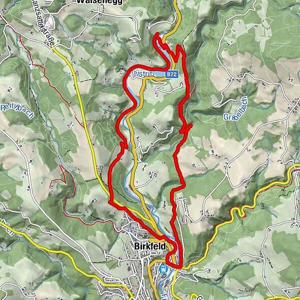
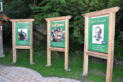
"Der Edlseer" HOAMAT hiking trail is an approx. 14 km long circular trail, starting from Birkfeld in the Joglland - Waldheimat region, in honor of the Edlseer who live there.
- Teškoća
-
srednje
- Vrednovanje
-
- Wegverlauf
-
Spielplatz R80,0 kmBirkfeld0,7 kmWagenranch8,1 kmBuckenberg10,6 kmGschaid bei Birkfeld11,8 kmBirkfeld12,0 kmSpielplatz R812,0 km
- Beste Jahreszeit
-
sijveljožutrasvilipsrpkolrujlisstupro
- Höchster Punkt
- 739 m
- Zielpunkt
-
Hoamatkapelle Birkfeld (near the train station Birkfeld)
- Höhenprofil
-


- Autor
-
Die Tour "The Edlseer" HOAMAT Hiking Trail wird von outdooractive.com bereitgestellt.
GPS Downloads


Opće informacije
Einkehrmöglichkeit
Kulturell/Historisch
Geheimtipp
Aussichtsreich
Weitere Touren in den Regionen
-
Hochsteiermark
4082
-
Joglland - Waldheimat
1513
-
Birkfeld
377