© Salzwelten
© Salzwelten

© Salzwelten - Michaela Geistberger

© Ausseerland - Salzwelten


© TVB Ausseerland - Salzkammergut/H. Rastl


- Kratak opis
-
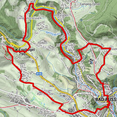
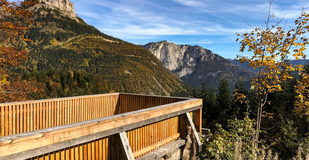
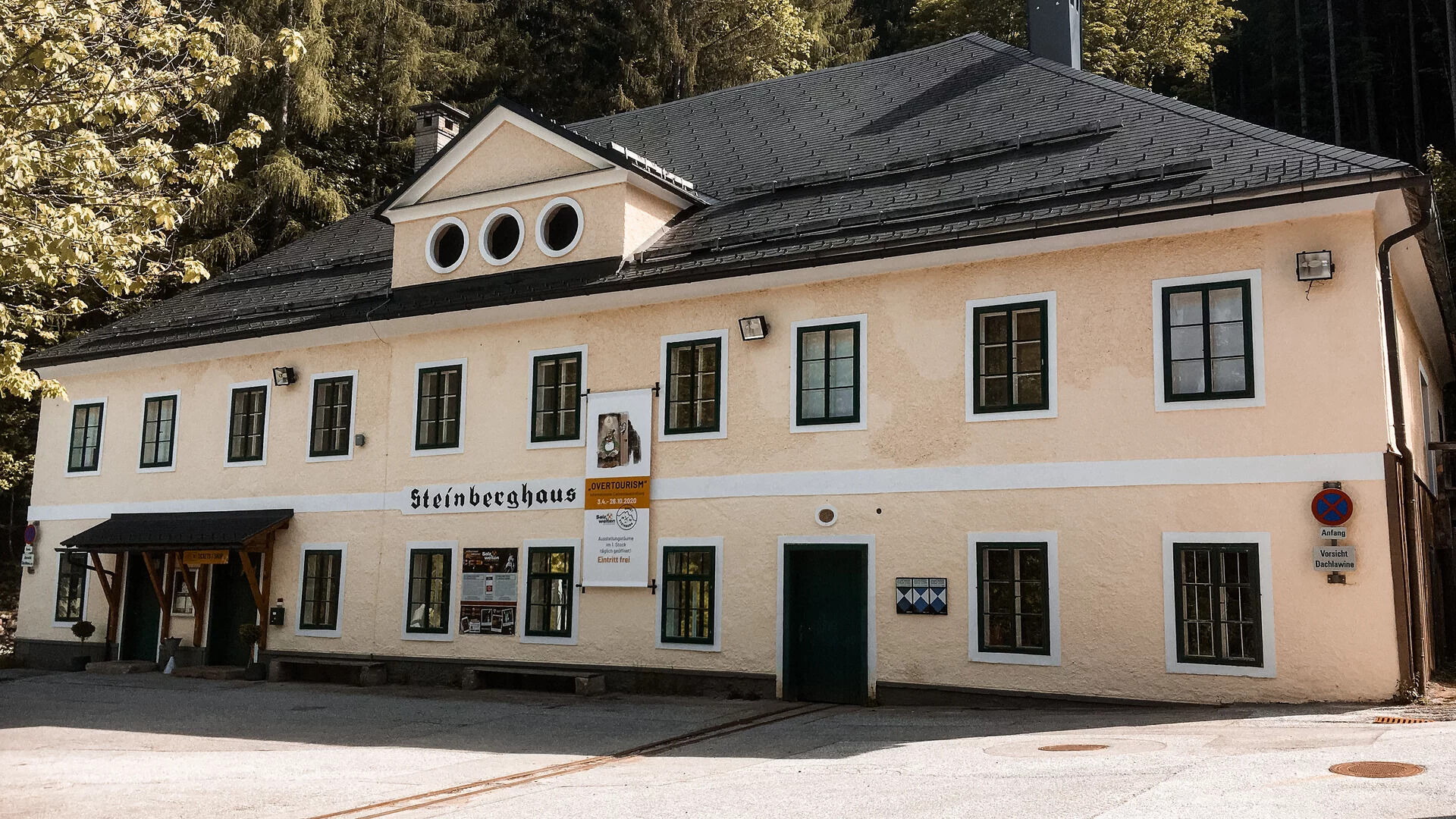
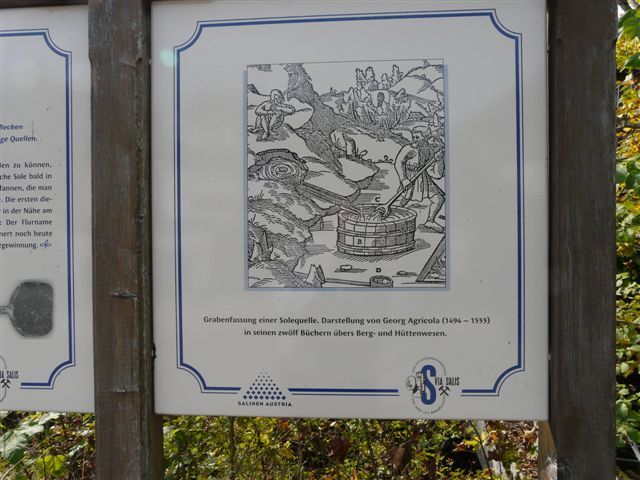
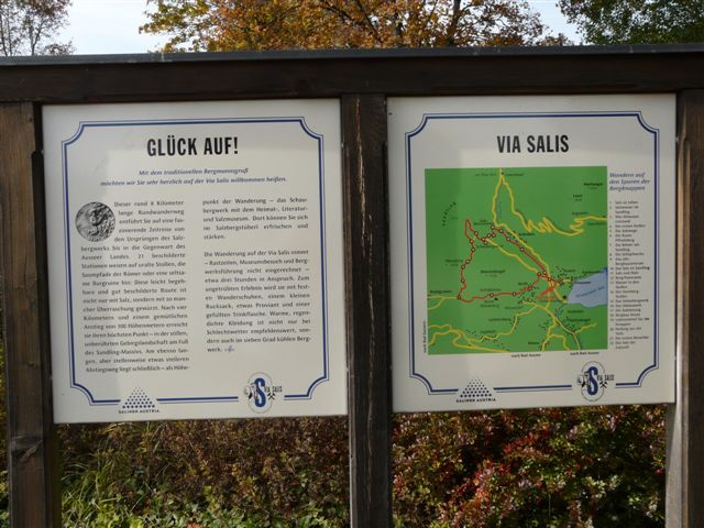
The path is dedicated to the theme of salt. It is equipped with 21 information panels at intervals of five to 20 minutes.
- Teškoća
-
srednje
- Vrednovanje
-
- Wegverlauf
-
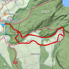
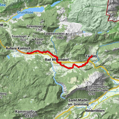
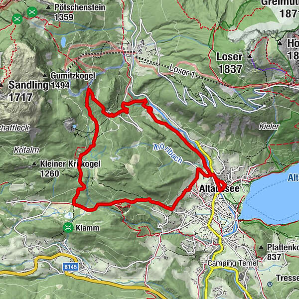
Altaussee0,0 kmHinter-Posern0,7 kmTörlwiese1,1 kmMoosberg5,4 kmFürstenscheibl6,1 kmSchloßwiese7,0 kmAltaussee9,8 km
- Beste Jahreszeit
-
sijveljožutrasvilipsrpkolrujlisstupro
- Höchster Punkt
- 1.053 m
- Zielpunkt
-
is the starting point
- Höhenprofil
-


- Autor
-
Die Tour Via Salis - Hiking in the footsteps of salt wird von outdooractive.com bereitgestellt.
GPS Downloads


Opće informacije
Einkehrmöglichkeit
Kulturell/Historisch
Aussichtsreich
Weitere Touren in den Regionen
-
Ausseerland - Salzkammergut
3382
-
Dachstein Salzkammergut
1701
-
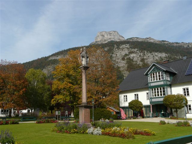
Altaussee
298