© TV Hochsteiermark - Raffaela Pitzl

© TV Hochsteiermark - Raffaela Pitzl

© TV Hochsteiermark - Raffaela Pitzl

© TV Hochsteiermark - Raffaela Pitzl

© TV Hochsteiermark - Raffaela Pitzl

© TV Hochsteiermark - Brigitte Digruber

© TV Hochsteiermark - Brigitte Digruber

© TV Hochsteiermark - Brigitte Digruber

© TV Hochsteiermark - Fred Lindmoser

© TV Hochsteiermark - Fred Lindmoser

- Kratak opis
-
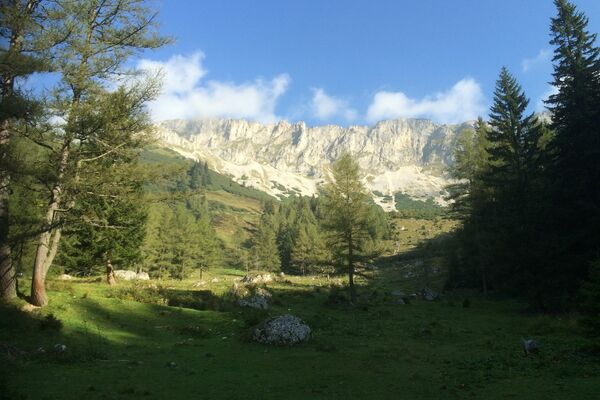
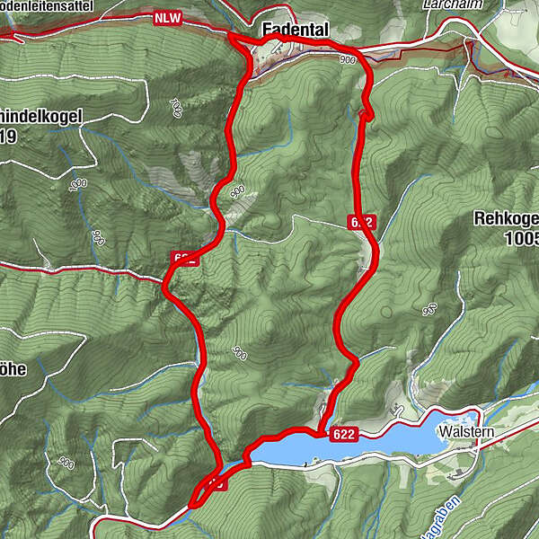
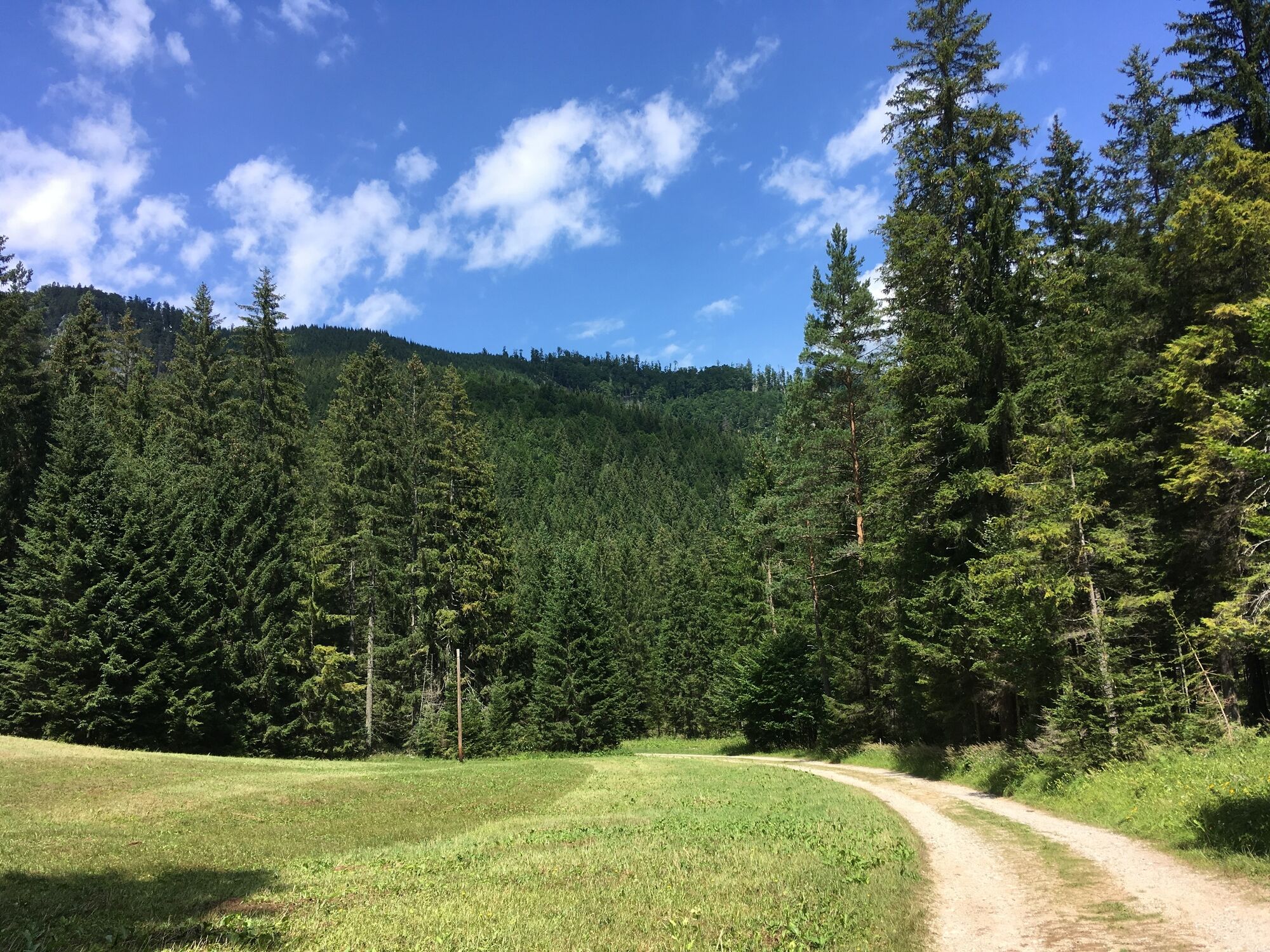
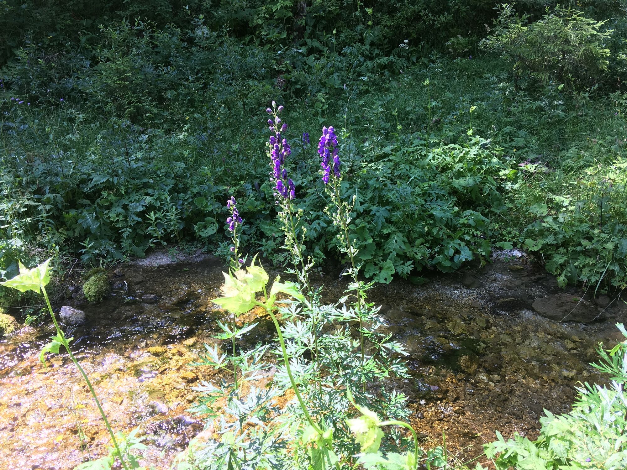
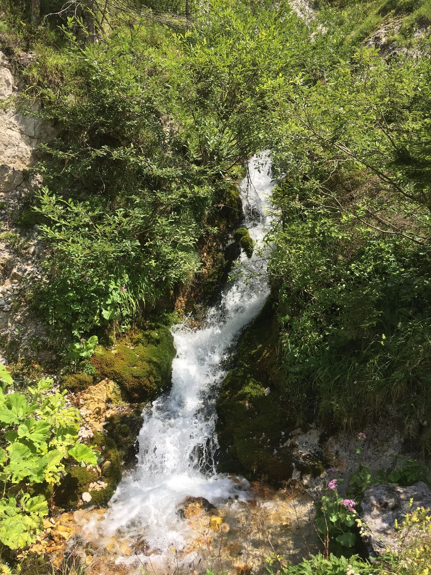
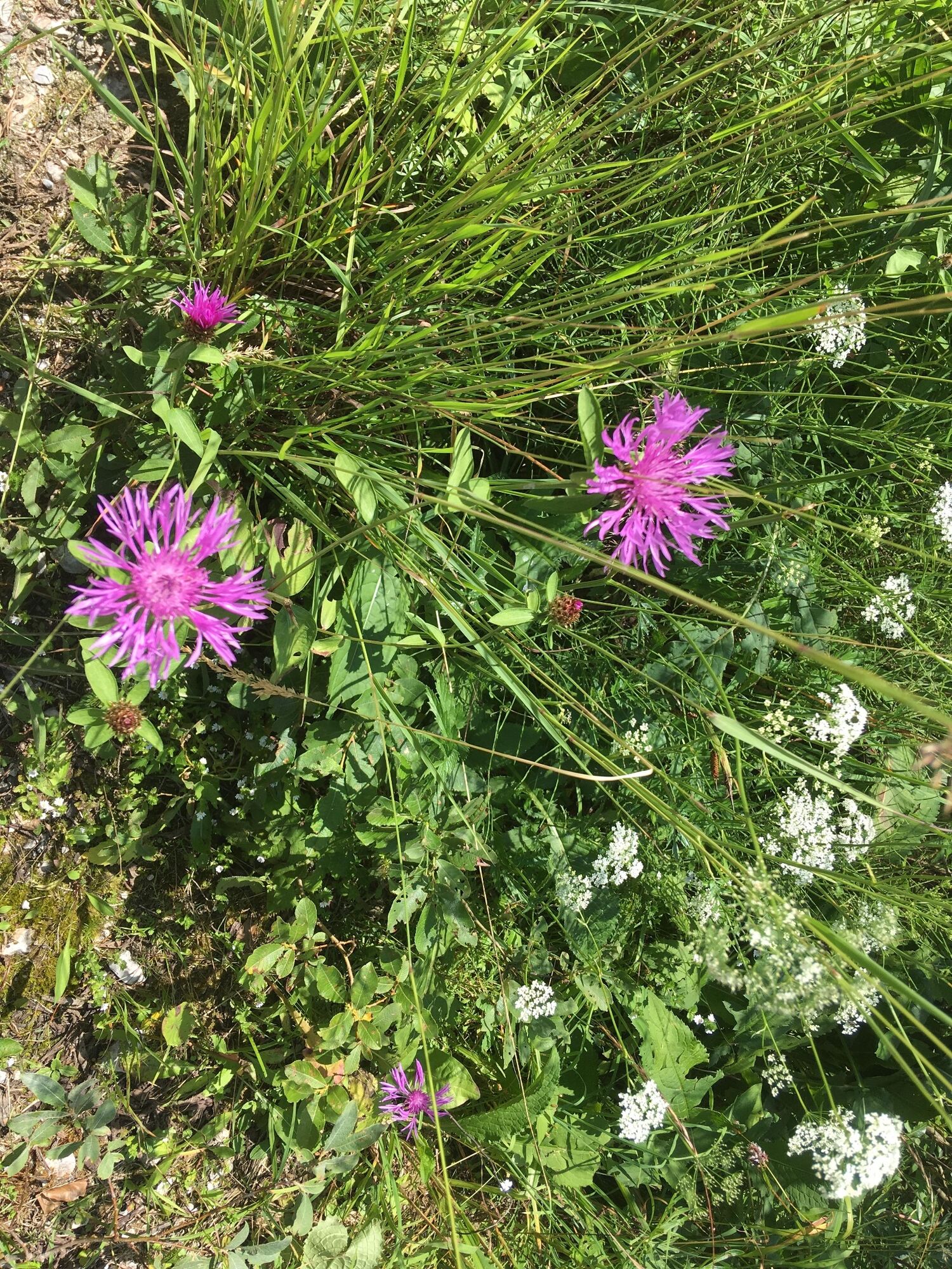
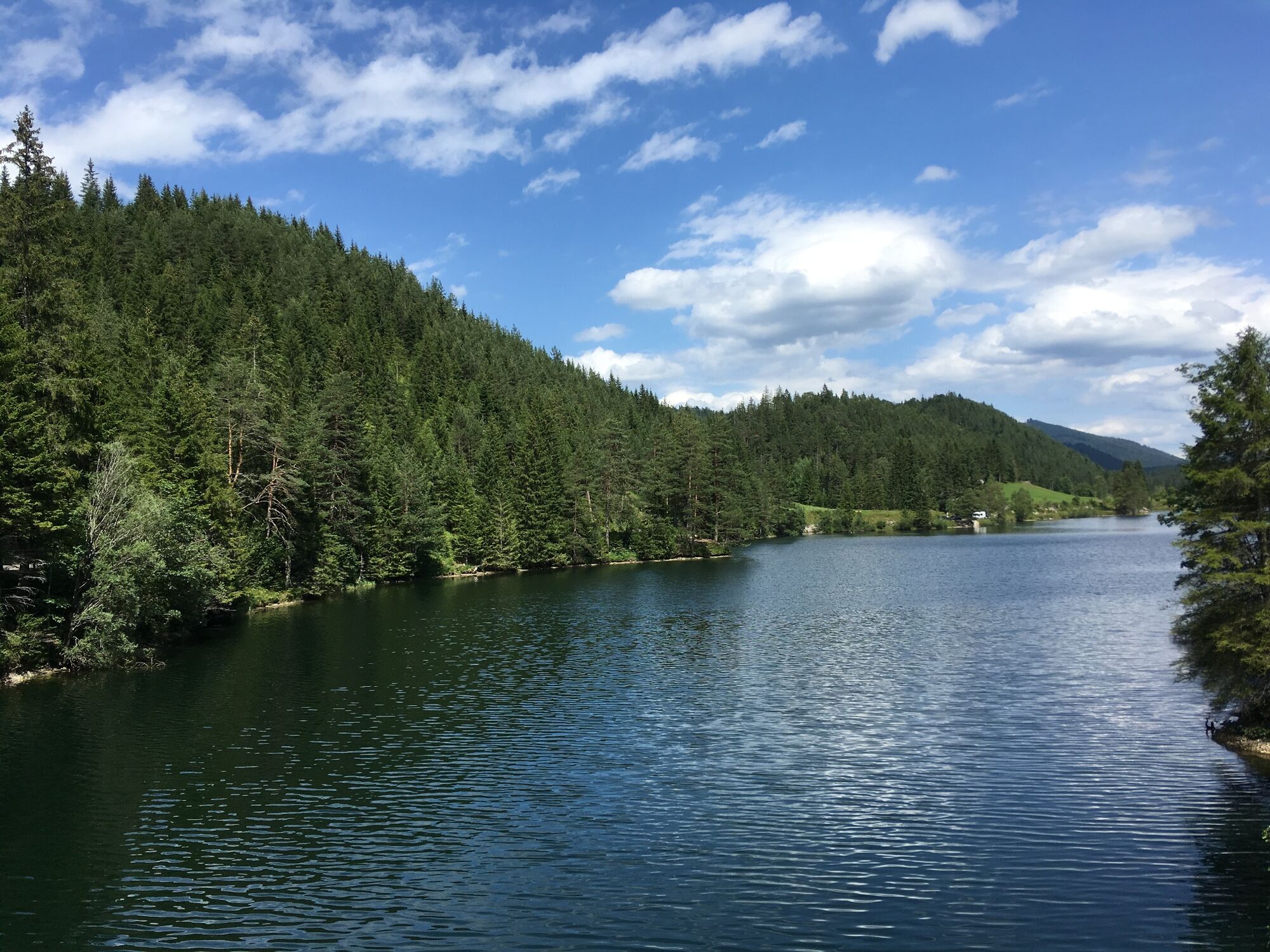
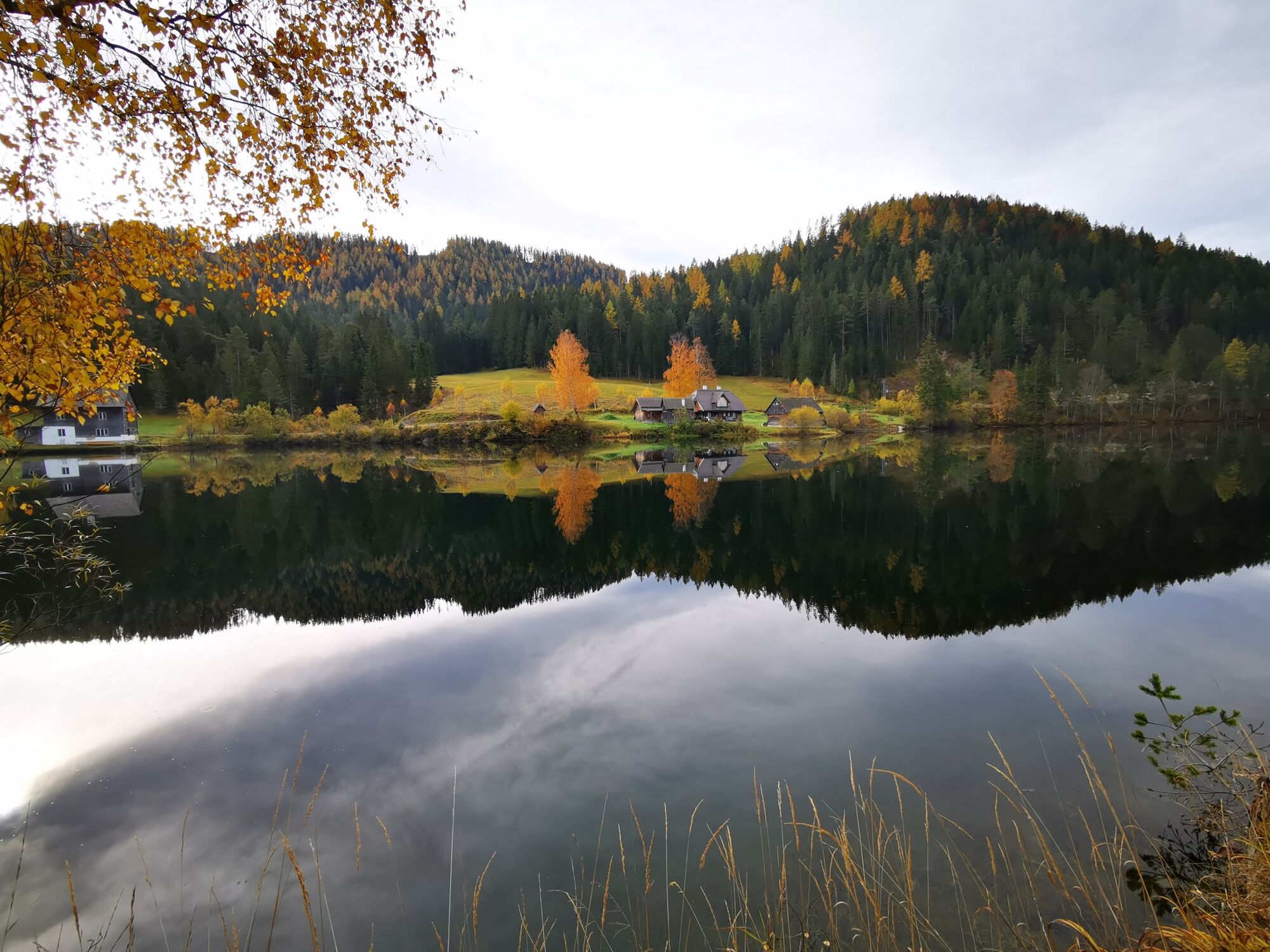
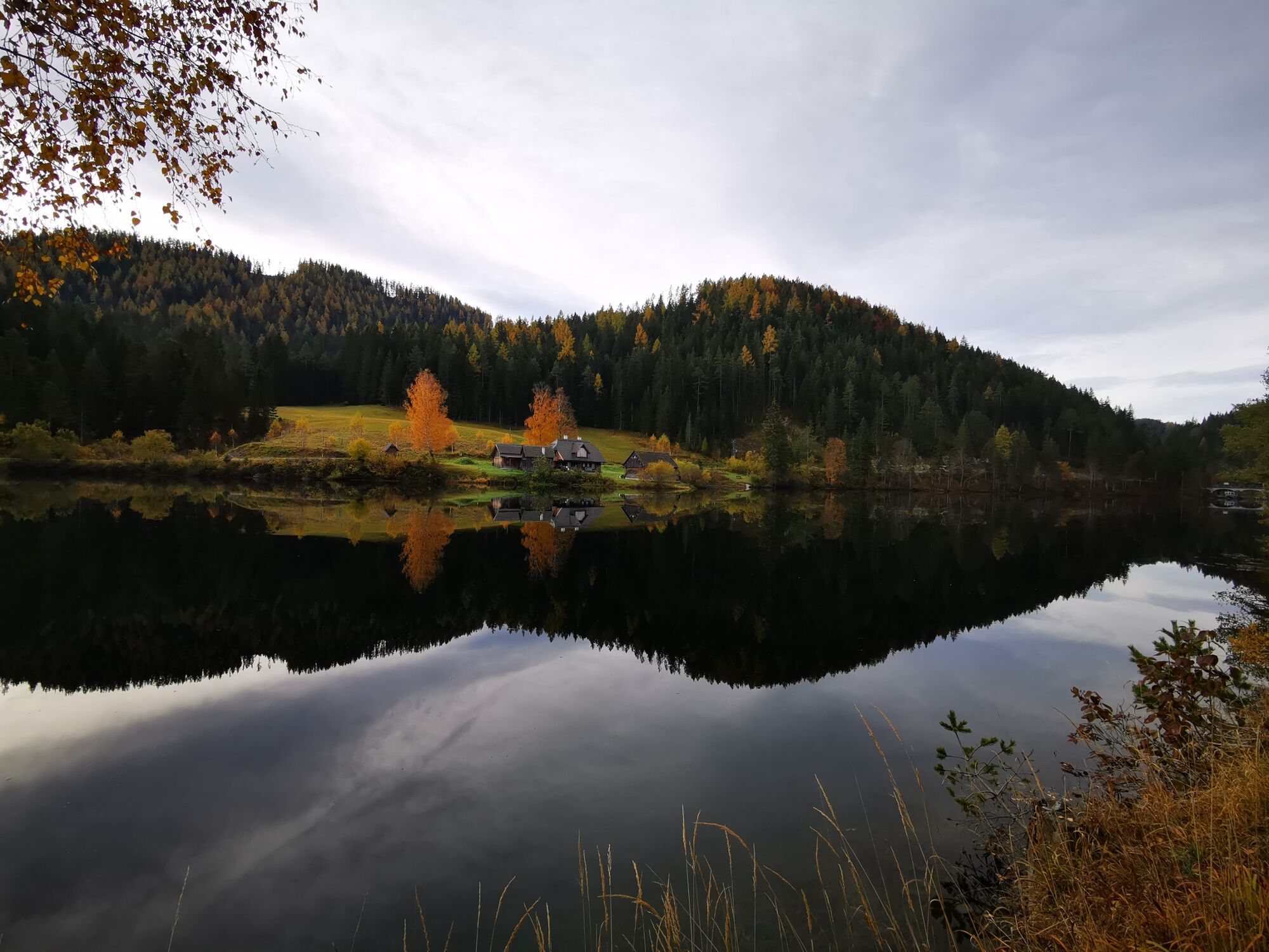
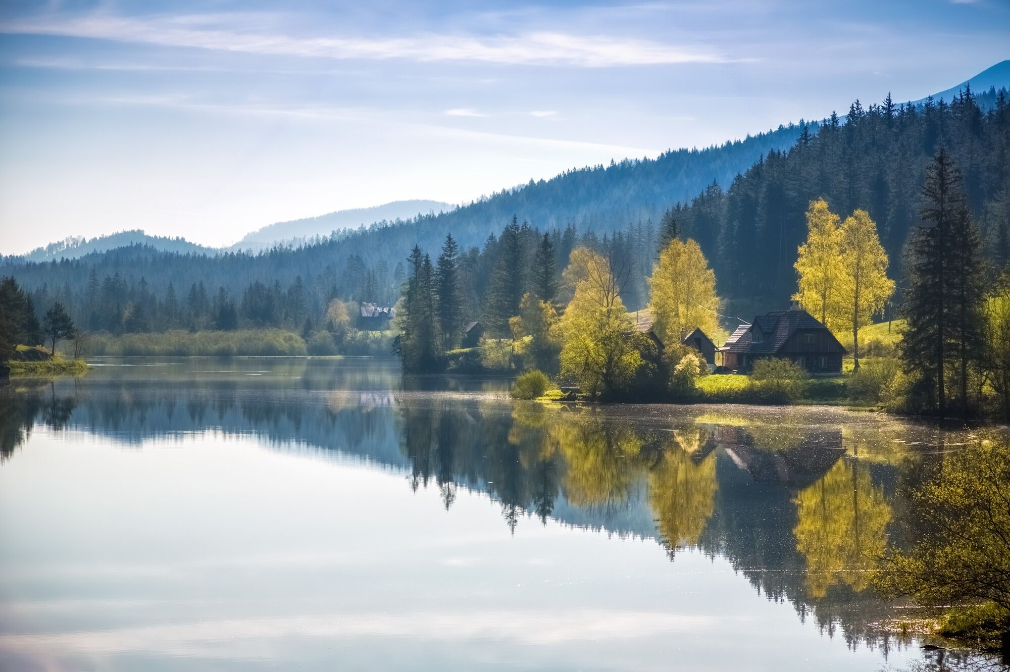
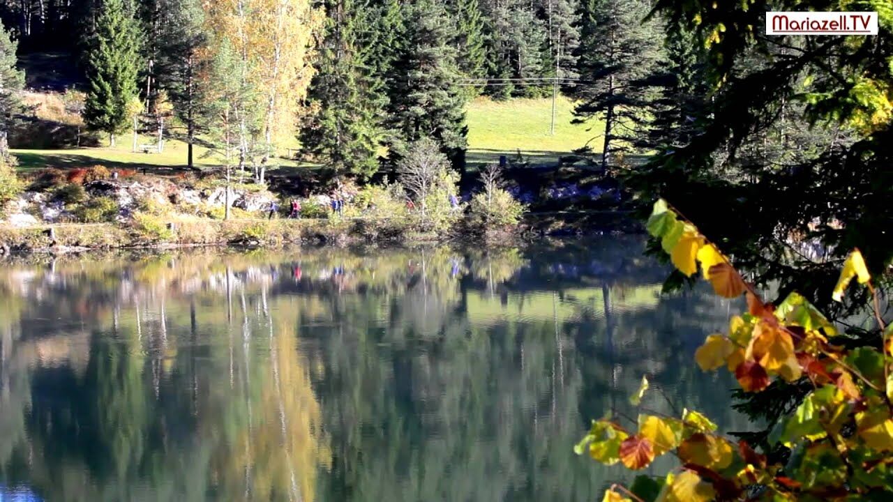
Enjoy the beautiful surroundings on a circular hike through the magnificent "Schwarzwalstern".
- Teškoća
-
lagano
- Vrednovanje
-
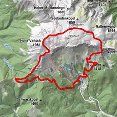
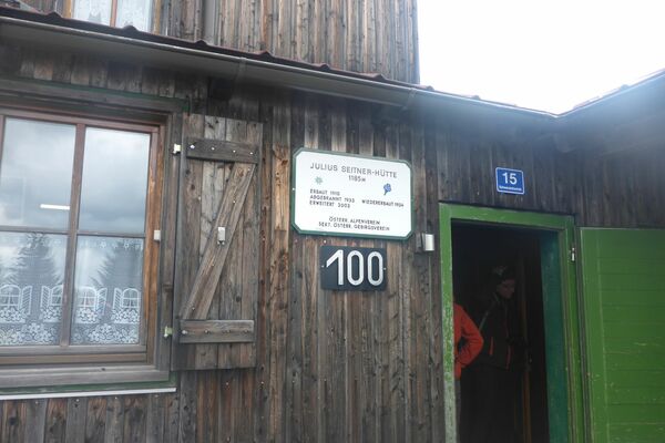
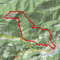
- Wegverlauf
-
Fadental3,2 km
- Beste Jahreszeit
-
sijveljožutrasvilipsrpkolrujlisstupro
- Höchster Punkt
- 916 m
- Zielpunkt
-
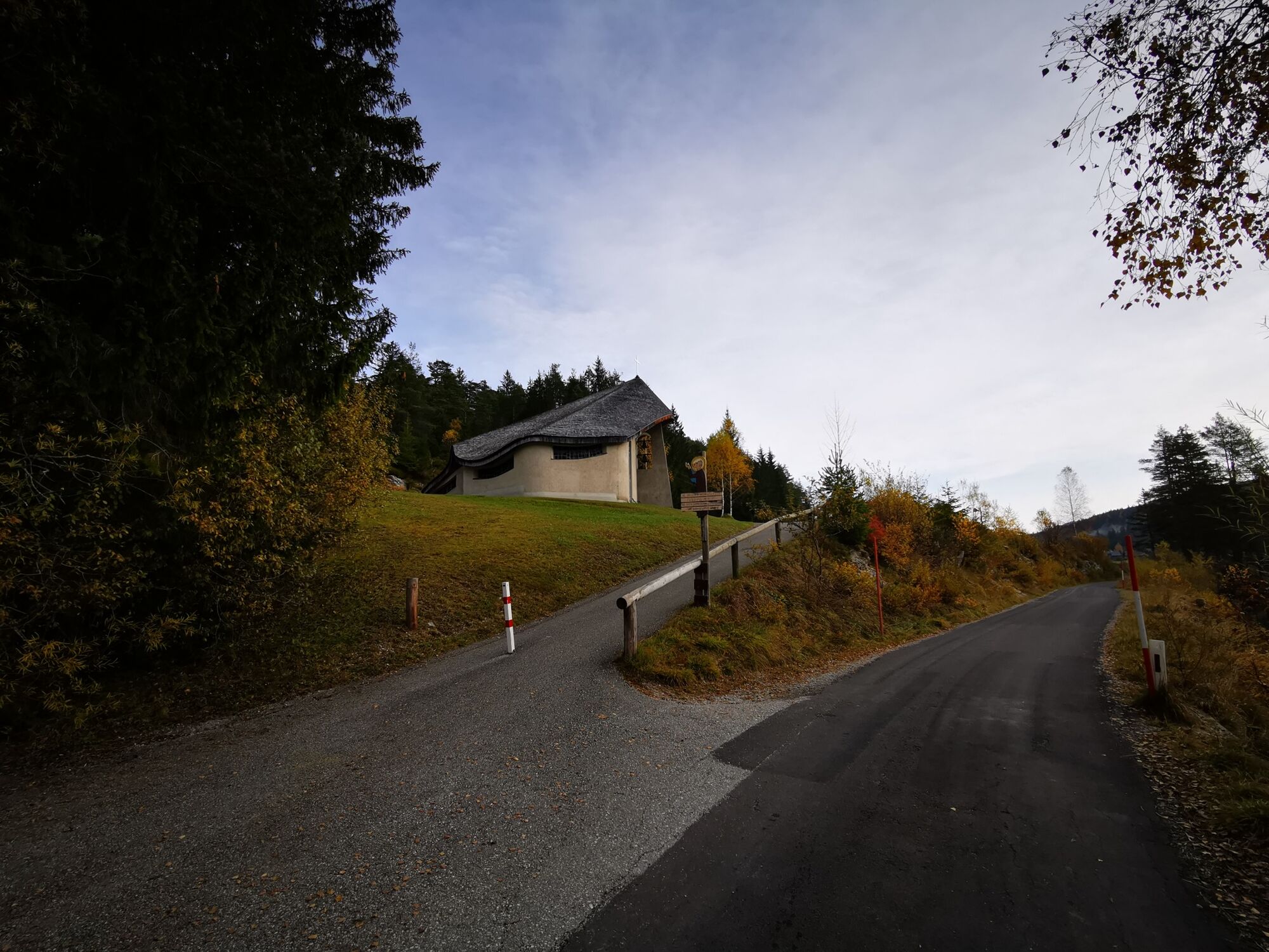
Bruder-Klaus-Kirche
- Höhenprofil
-


- Autor
-
Die Tour Round hike through "Schwarzwalstern" wird von outdooractive.com bereitgestellt.
GPS Downloads


Weitere Touren in den Regionen
-
Mostviertel
2451
-
Mariazellerland
1503
-
Annaberg
433