

© Erlebnisregion Schladming-Dachstein - Lupi Spuma

© Erlebnisregion Schladming-Dachstein - Lupi Spuma
- Kratak opis
-
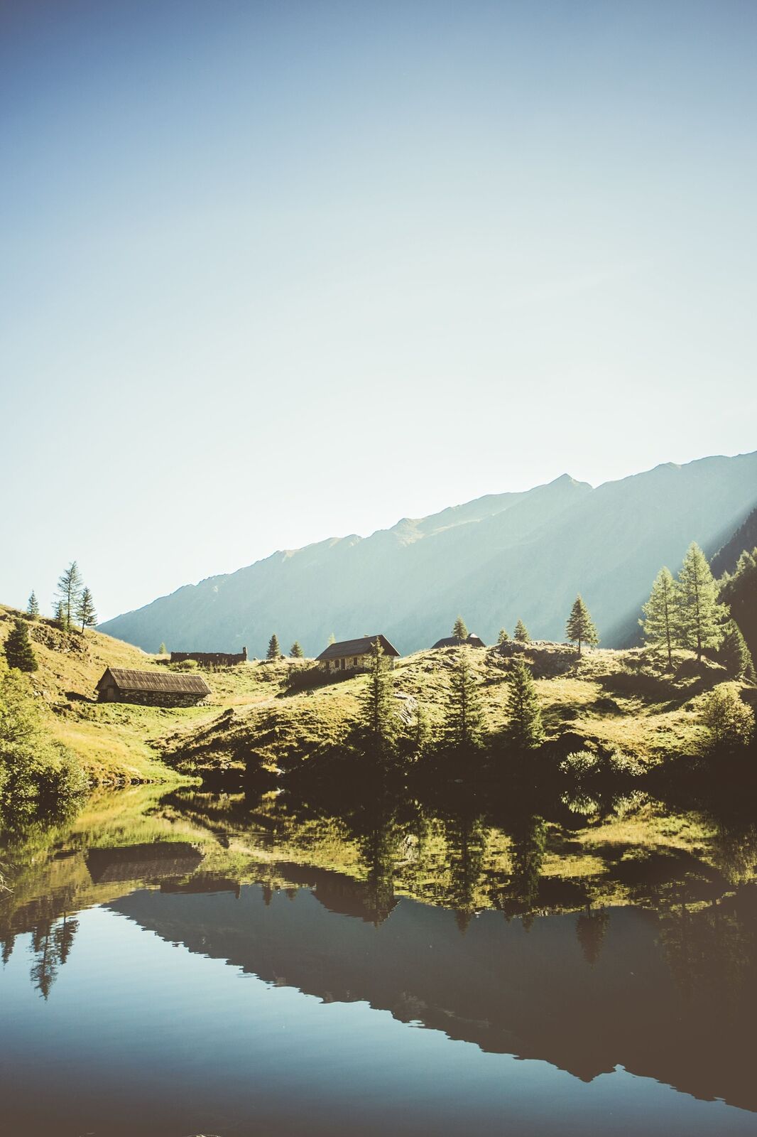
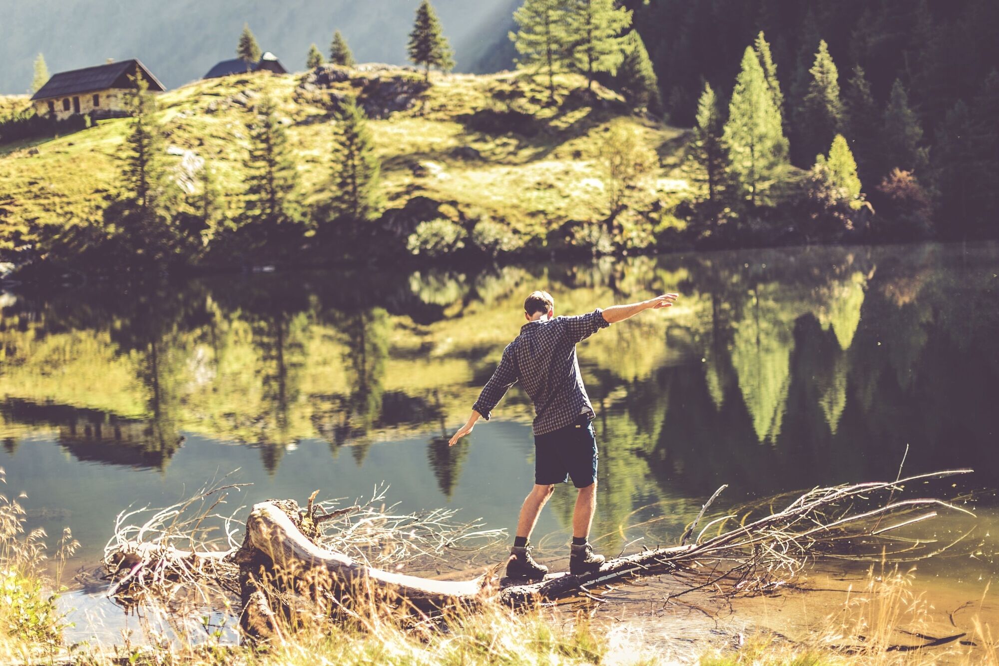
Water accompanies you in all facets on this hike! You can expect natural meanders at the Bräualm, the waterfall in Dürrmoos and the picturesque Hohensee.
- Teškoća
-
srednje
- Vrednovanje
-
- Wegverlauf
-
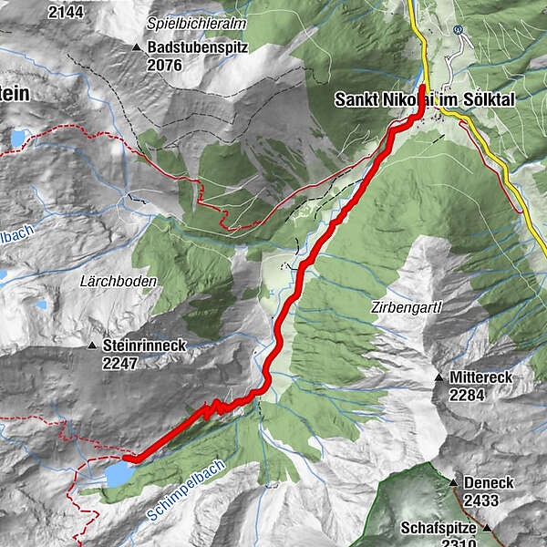
Zum Gamsjäger0,1 kmPfarrkirche hl. Nikolaus0,1 kmSankt Nikolai im Sölktal0,2 kmDürrmoos Wasserfall3,7 kmDürrmoos Wasserfall7,1 kmPfarrkirche hl. Nikolaus10,7 kmSankt Nikolai im Sölktal10,7 kmZum Gamsjäger10,7 km
- Beste Jahreszeit
-
sijveljožutrasvilipsrpkolrujlisstupro
- Höchster Punkt
- 1.558 m
- Zielpunkt
-
Hohensee
- Höhenprofil
-

- Autor
-
Die Tour Via the Bräualm to the Hohensee lake wird von outdooractive.com bereitgestellt.
GPS Downloads


Opće informacije
Flora
Weitere Touren in den Regionen


