

© Erlebnisregion Schladming-Dachstein - Roland Gutwenger

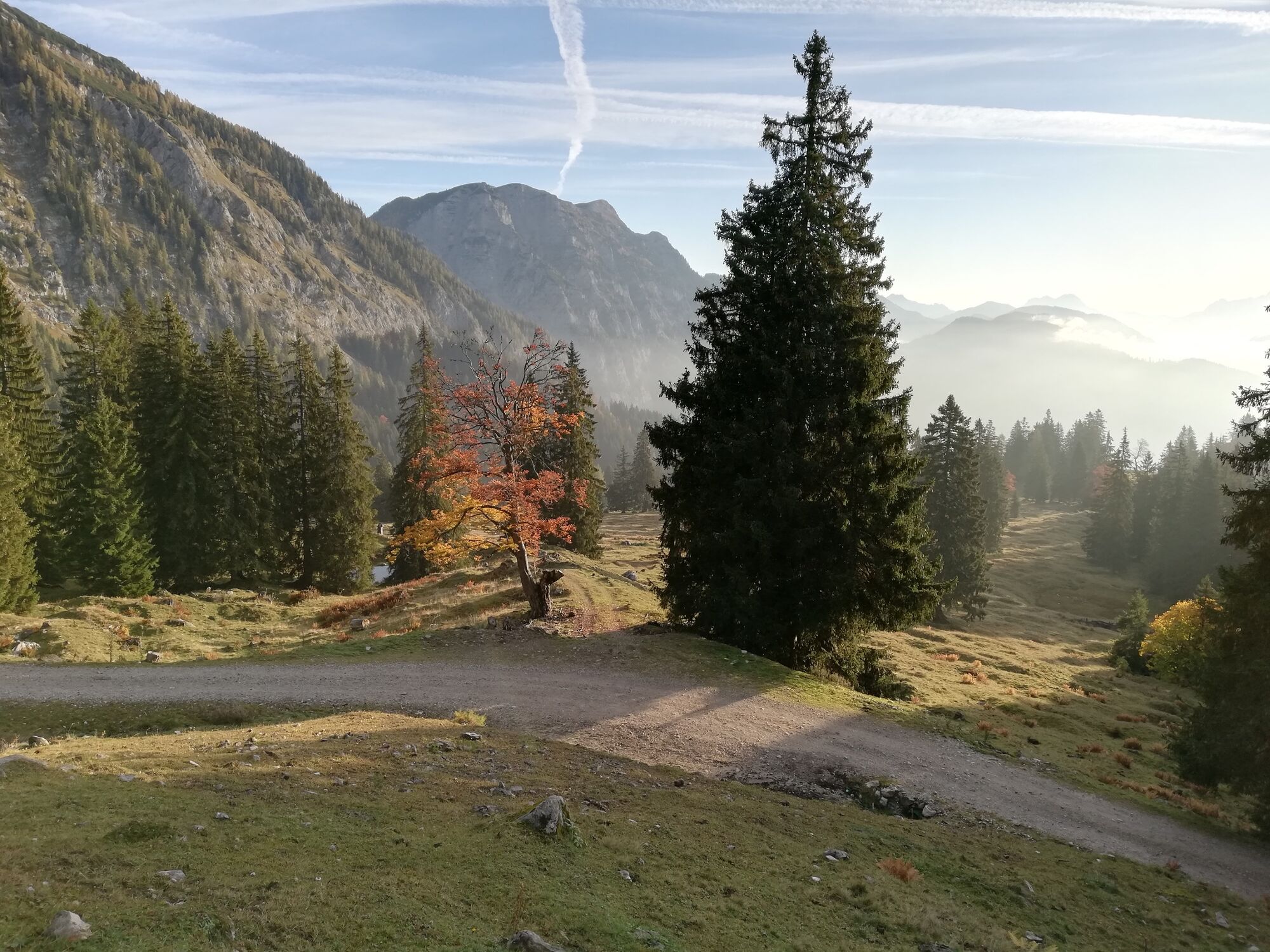
© Tourismusverband Grimming-Donnersbachtal - Roland Gutwenger

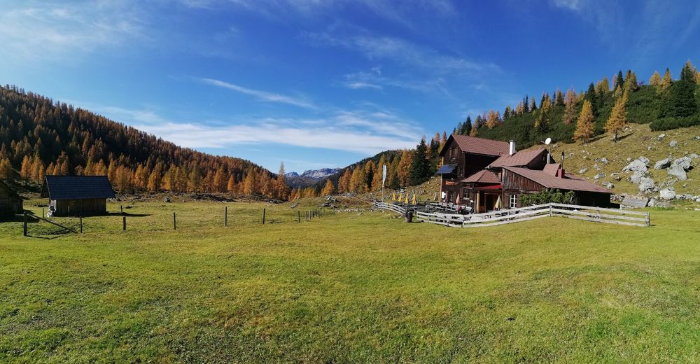
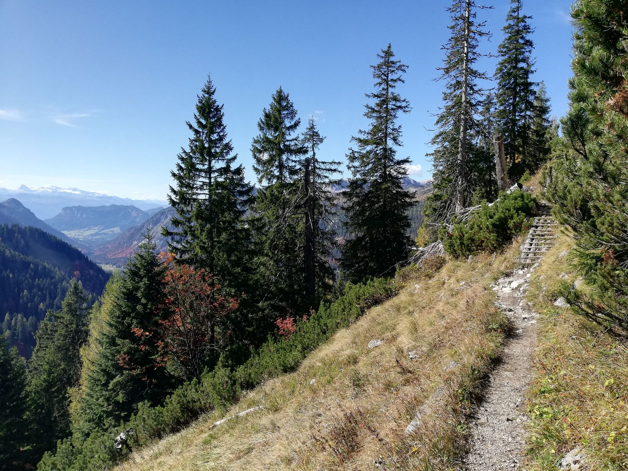
© Erlebnisregion Schladming-Dachstein - Roland Gutwenger

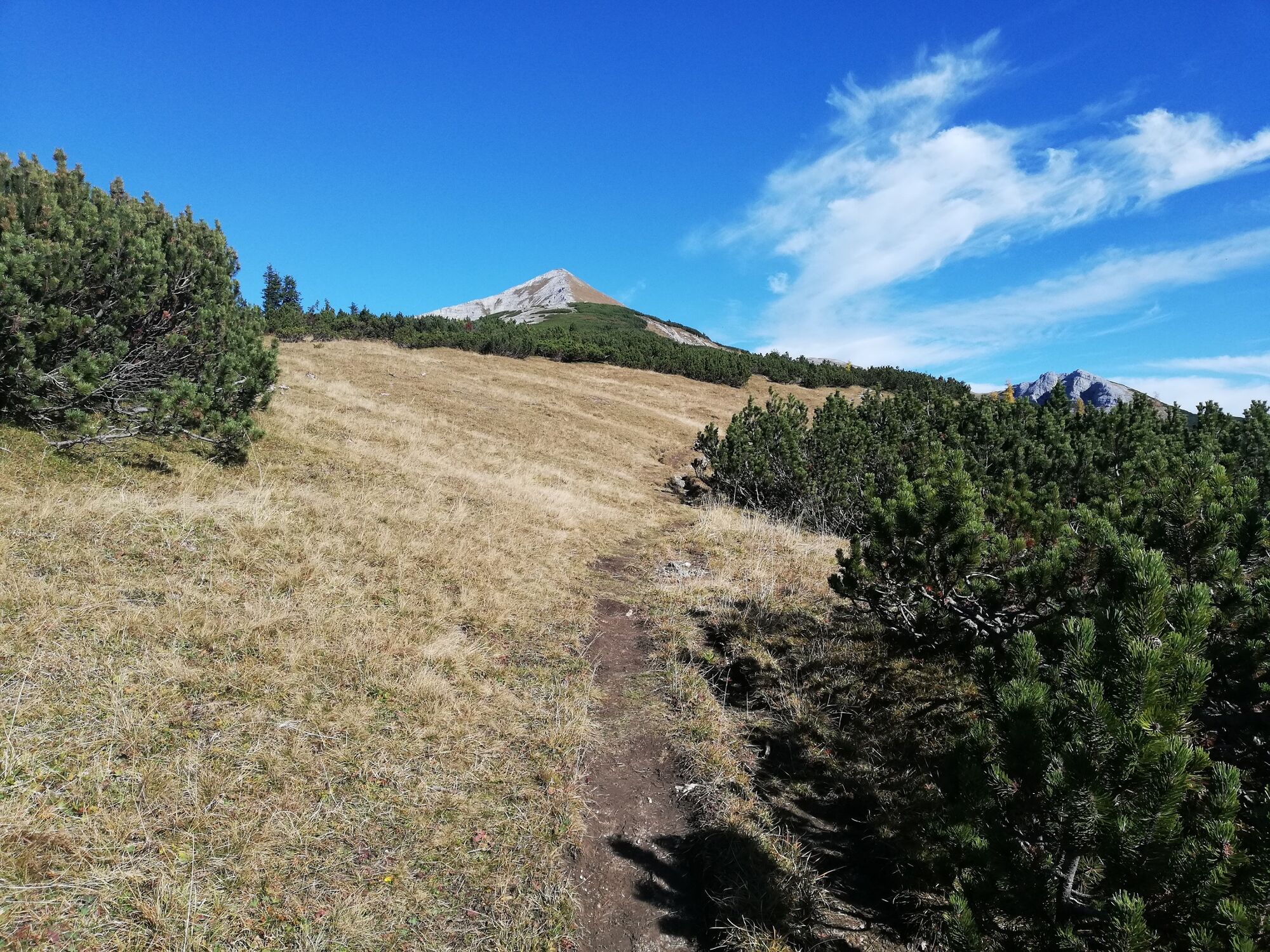
© Erlebnisregion Schladming-Dachstein - Roland Gutwenger
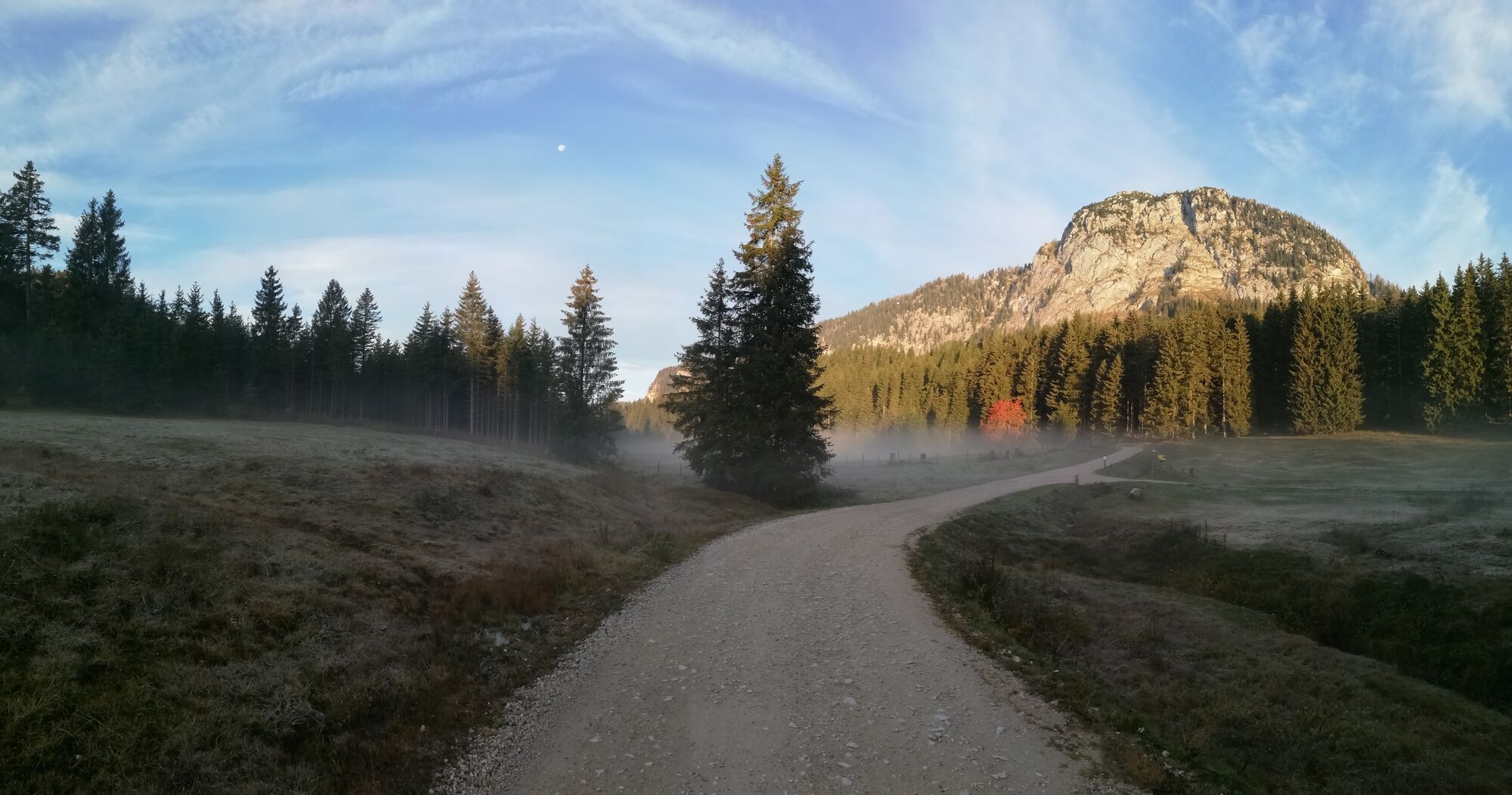
© Tourismusverband Grimming-Donnersbachtal - Roland Gutwenger

© Erlebnisregion Schladming-Dachstein - Roland Gutwenger
- Kratak opis
-
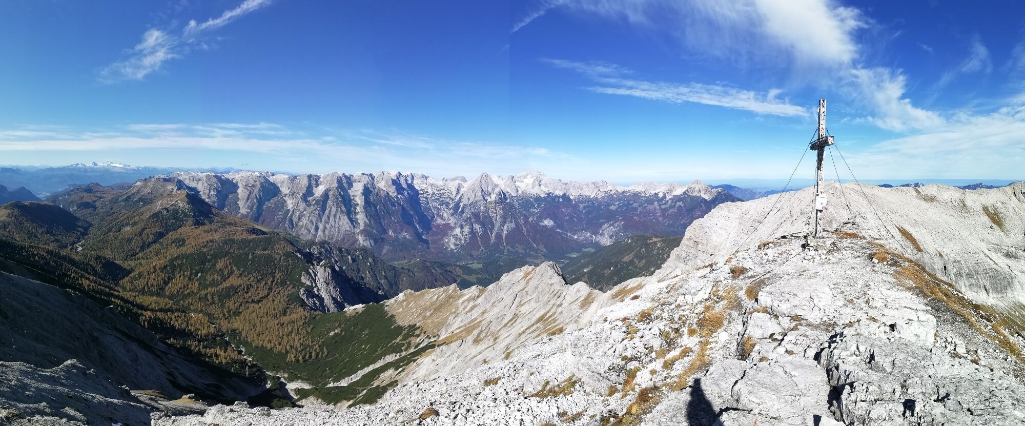
A long, but non-difficult mountain tour, one of this region’s most beautiful – with magnificent views.
- Teškoća
-
teška
- Vrednovanje
-
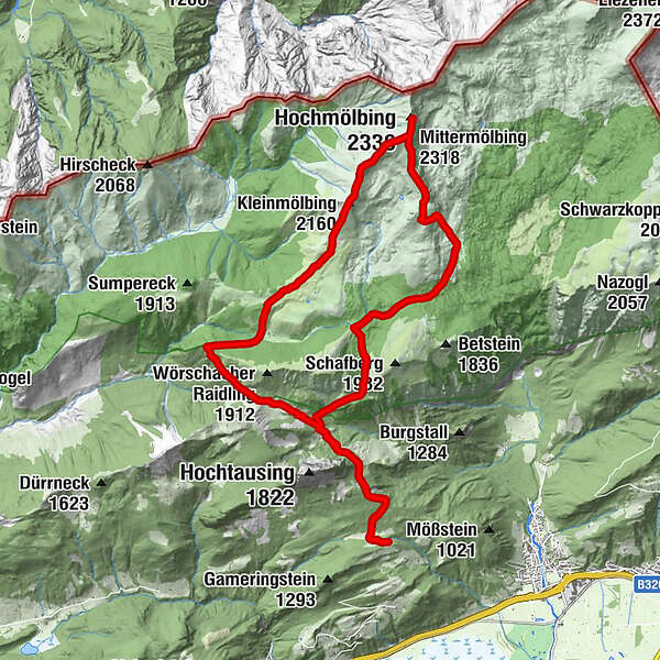
- Wegverlauf
-
Langpoltner-Klamml (1.570 m)4,1 kmHochmölbinghütte6,4 kmKleinmölbing (2.160 m)9,1 kmHochmölbing (2.336 m)10,9 kmMittermölbing (2.318 m)11,3 kmTeufelsmühle11,6 kmQuerlstein (2.084 m)12,6 kmFiedlbrunn16,5 kmHochtor17,1 km
- Beste Jahreszeit
-
sijveljožutrasvilipsrpkolrujlisstupro
- Höchster Punkt
- 2.315 m
- Zielpunkt
-
Hochmölbing
- Höhenprofil
-


- Autor
-
Die Tour Hochmölbing Peak wird von outdooractive.com bereitgestellt.
GPS Downloads


Opće informacije
Einkehrmöglichkeit
Flora
Fauna
Aussichtsreich
Weitere Touren in den Regionen


