© Erlebnisregion Schladming-Dachstein - Schladming Dachstein


© Erlebnisregion Schladming-Dachstein - Zettler Johannes / Zettler IT

© Erlebnisregion Schladming-Dachstein - Zettler Johannes / Zettler IT

© Erlebnisregion Schladming-Dachstein - Zettler Johannes / Zettler IT

© Erlebnisregion Schladming-Dachstein - Zettler Johannes / Zettler IT

© Erlebnisregion Schladming-Dachstein - Zettler Johannes / Zettler IT

© Erlebnisregion Schladming-Dachstein - Zettler Johannes / Zettler IT

© Erlebnisregion Schladming-Dachstein - Zettler Johannes / Zettler IT
- Kratak opis
-
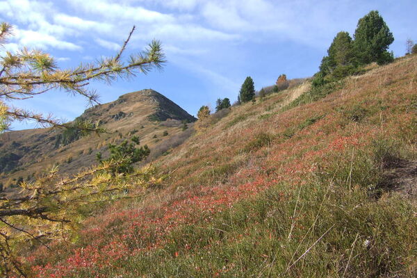
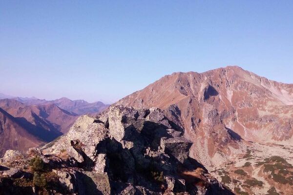
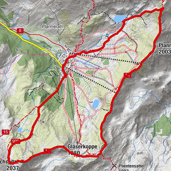
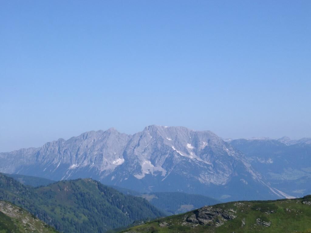
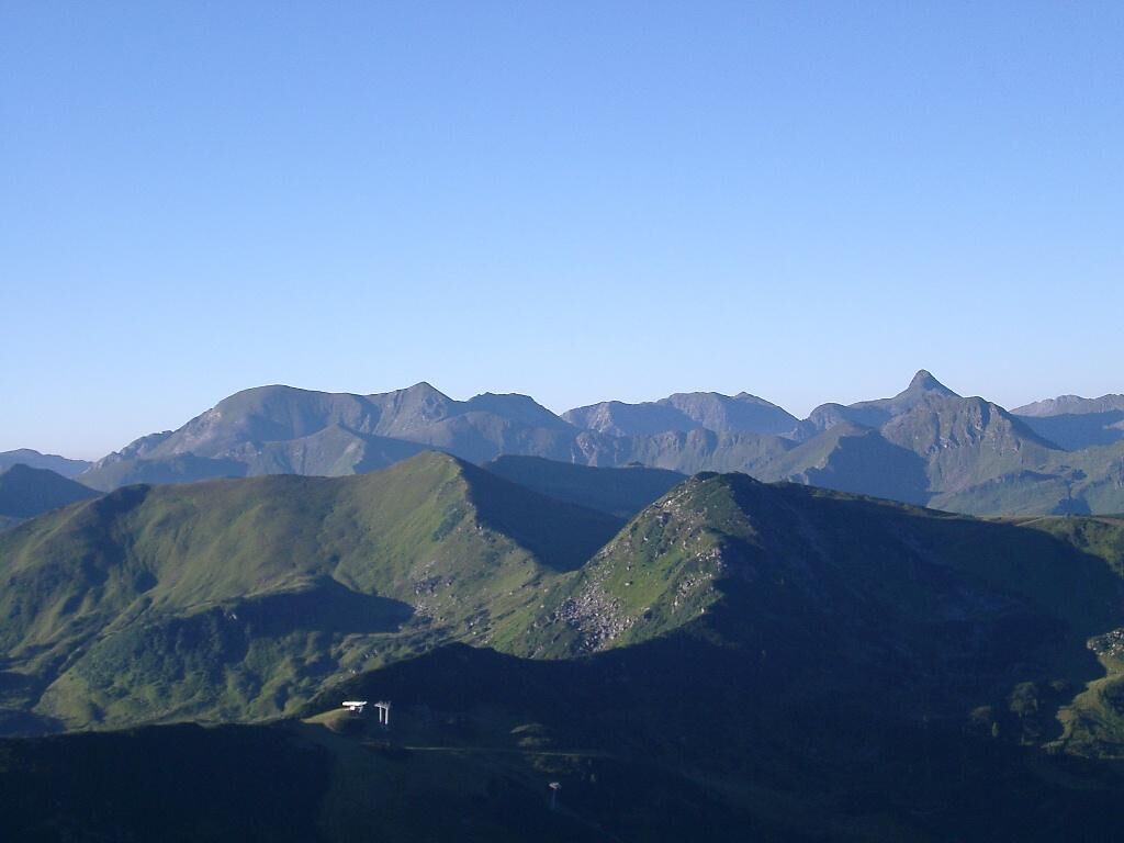
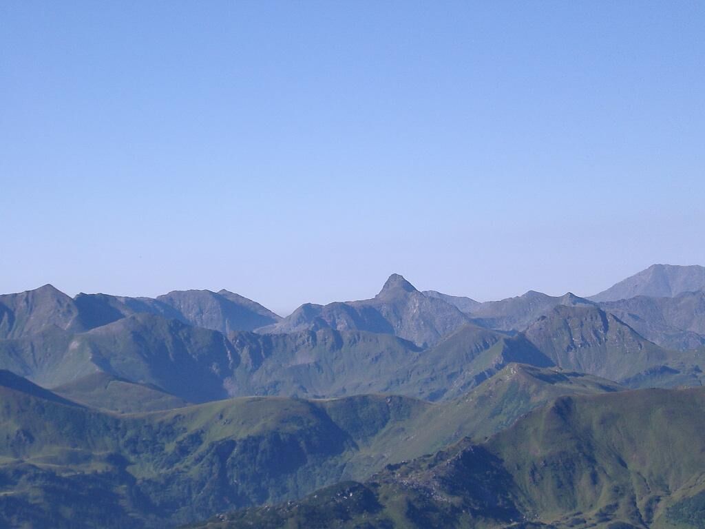
An alpine hike, or more accurately: a narrow, alpine trail, mostly along the ridge, over several peaks on the north-west side of the Plannerkessel.
- Teškoća
-
srednje
- Vrednovanje
-
- Wegverlauf
-
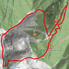
Bergrettungshütte0,0 kmPlannereck (2.003 m)2,4 kmKleiner Rotbühel (1.912 m)3,6 kmGroßer Rotbühel (2.019 m)4,4 kmGläserkoppe (1.980 m)5,0 kmJochspitze (2.037 m)5,8 kmGoldbachscharte (1.960 m)6,0 kmBergrettungshütte8,1 km
- Beste Jahreszeit
-
sijveljožutrasvilipsrpkolrujlisstupro
- Höchster Punkt
- 2.001 m
- Zielpunkt
-
parking area Planneralm
- Höhenprofil
-


- Autor
-
Die Tour Ridge Hike - high above the Planneralm - 1.588m wird von outdooractive.com bereitgestellt.
GPS Downloads


Opće informacije
Einkehrmöglichkeit
Flora
Fauna
Aussichtsreich
Weitere Touren in den Regionen