© TVB Haus-Aich-Gössenberg

© Erlebnisregion Schladming-Dachstein - Schladming Dachstein

© Unbekannt - Tourismusverband Haus-Aich-Gössenberg

© Unbekannt - Tourismusverband Haus-Aich-Gössenberg

© Erlebnisregion Schladming-Dachstein - Tourismusverband Haus-Aich-Gössenberg

© Erlebnisregion Schladming-Dachstein - Schladming Dachstein

© Erlebnisregion Schladming-Dachstein - Schladming Dachstein

© Erlebnisregion Schladming-Dachstein - Tourismusverband Haus-Aich-Gössenberg
- Kratak opis
-
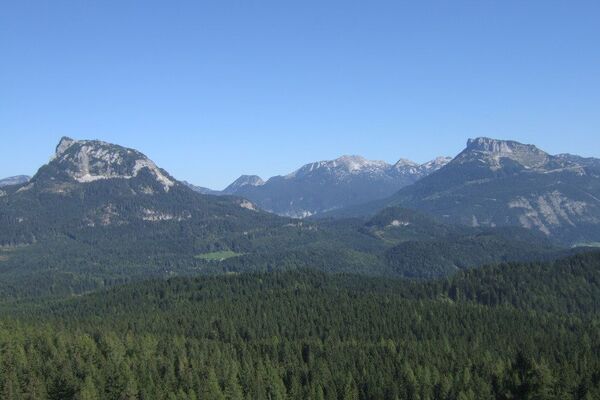
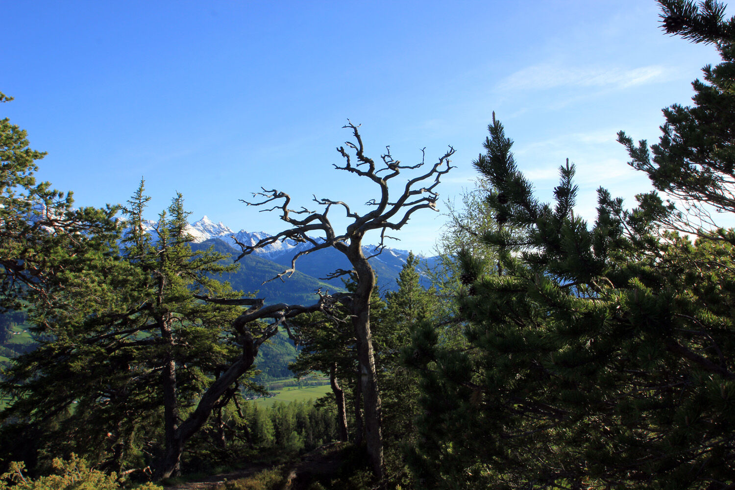
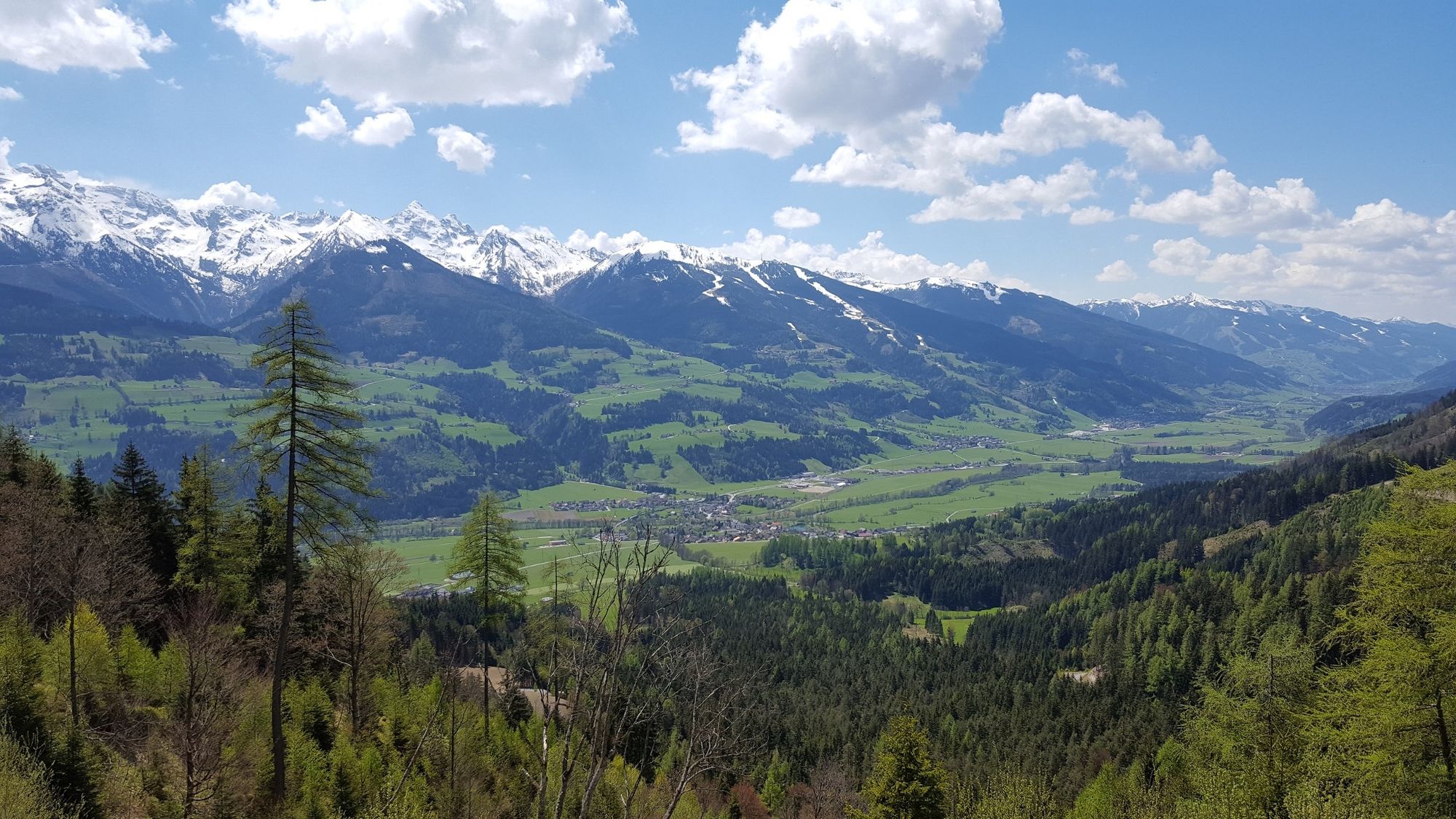
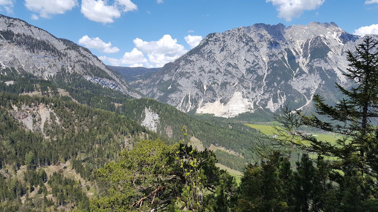
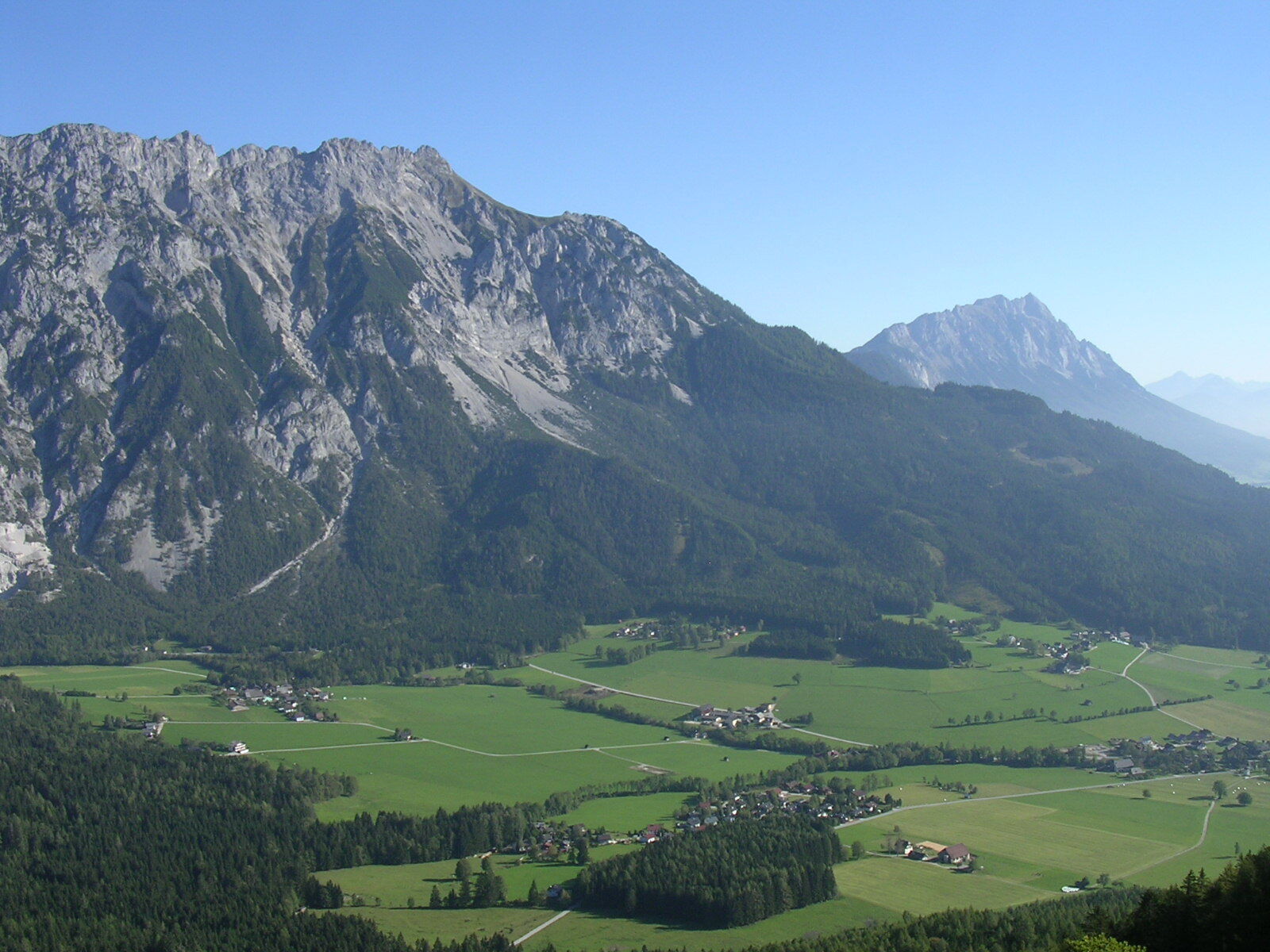
An unassuming forested ridgeline in the Ennstal, yet one which offers interesting, scenic and variety-packed hikes along the mountain crest.
- Teškoća
-
teška
- Vrednovanje
-
- Wegverlauf
-
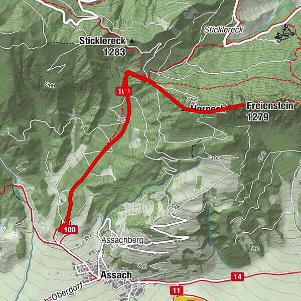
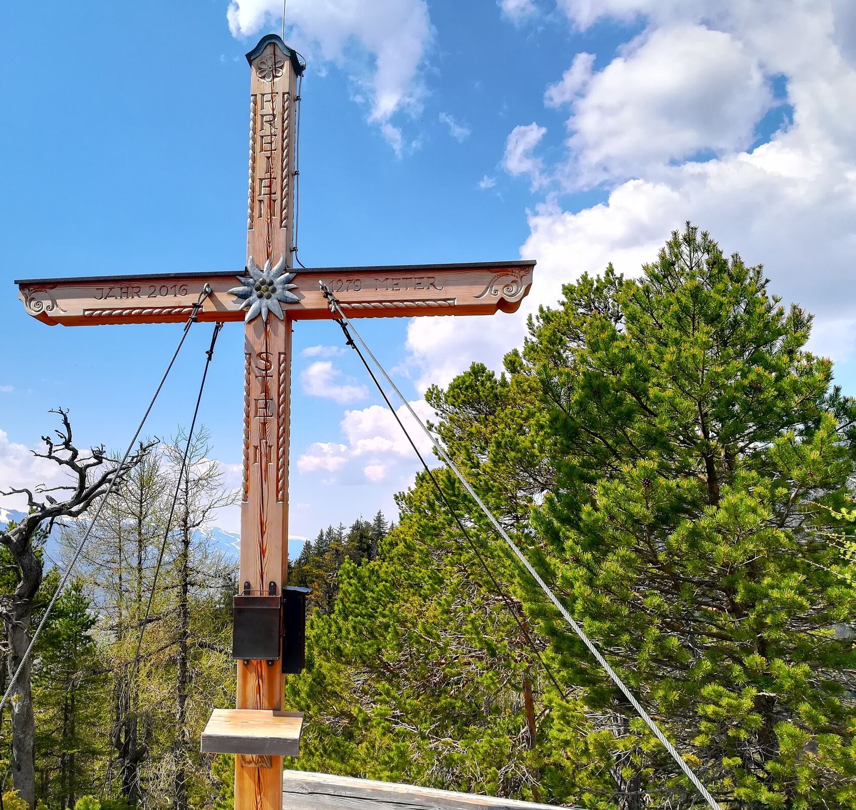
Freienstein (1.279 m)2,7 kmHorneck3,1 km
- Beste Jahreszeit
-
sijveljožutrasvilipsrpkolrujlisstupro
- Höchster Punkt
- 1.272 m
- Zielpunkt
-
Assacher Tenne
- Höhenprofil
-


-
-
AutorDie Tour Freienstein wird von outdooractive.com bereitgestellt.
GPS Downloads


Opće informacije
Flora
Fauna
Aussichtsreich
Weitere Touren in den Regionen
-
Schladming - Dachstein
2999
-
Haus - Aich
1364
-
Aich
276