

© Erlebnisregion Schladming-Dachstein - Schladming Dachstein

© Erlebnisregion Schladming-Dachstein - Gerhard Pilz

© Erlebnisregion Schladming-Dachstein - Gerhard Pilz

© Erlebnisregion Schladming-Dachstein - Gerhard Pilz

© Erlebnisregion Schladming-Dachstein - Gerhard Pilz

© Erlebnisregion Schladming-Dachstein - Gerhard Pilz

© Erlebnisregion Schladming-Dachstein - Gerhard Pilz

© Erlebnisregion Schladming-Dachstein - Gerhard Pilz

© Erlebnisregion Schladming-Dachstein - Gerhard Pilz

© Erlebnisregion Schladming-Dachstein - Gerhard Pilz
- Kratak opis
-
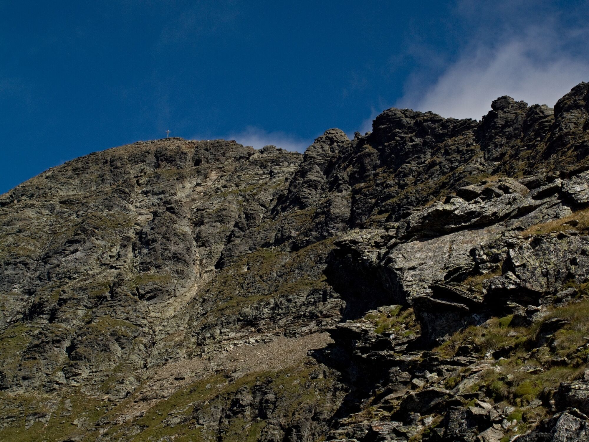
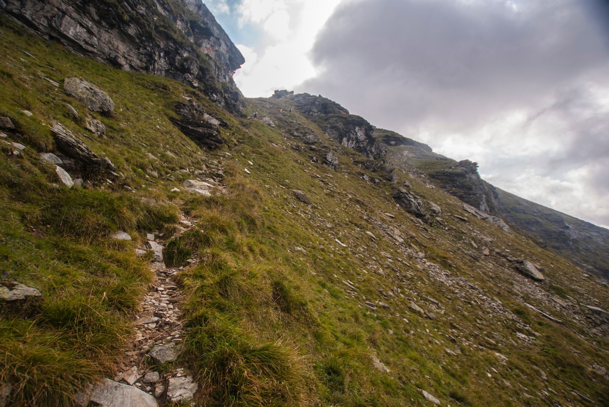
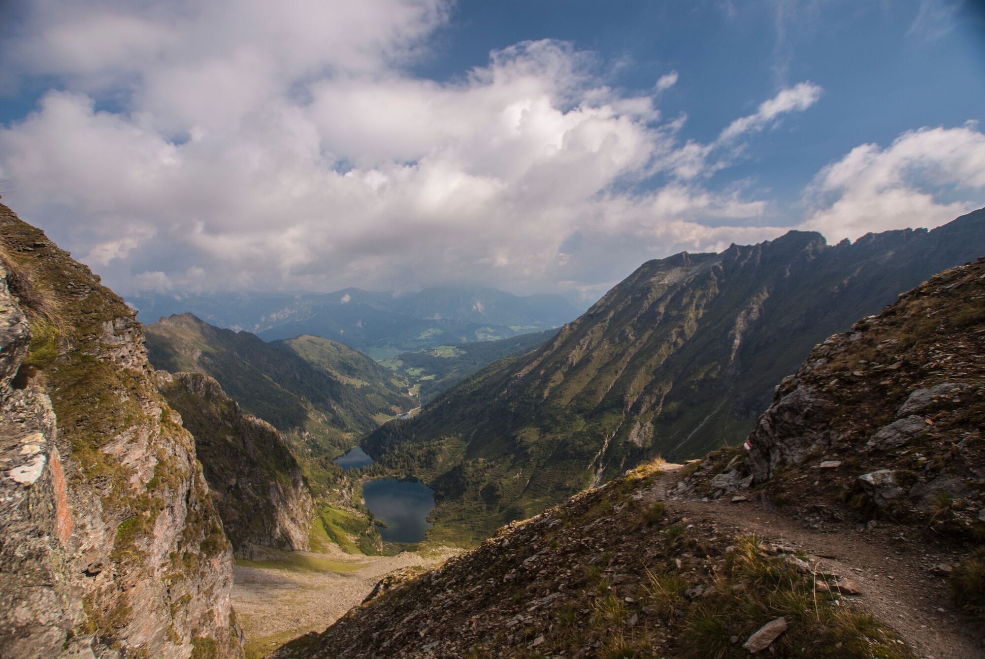
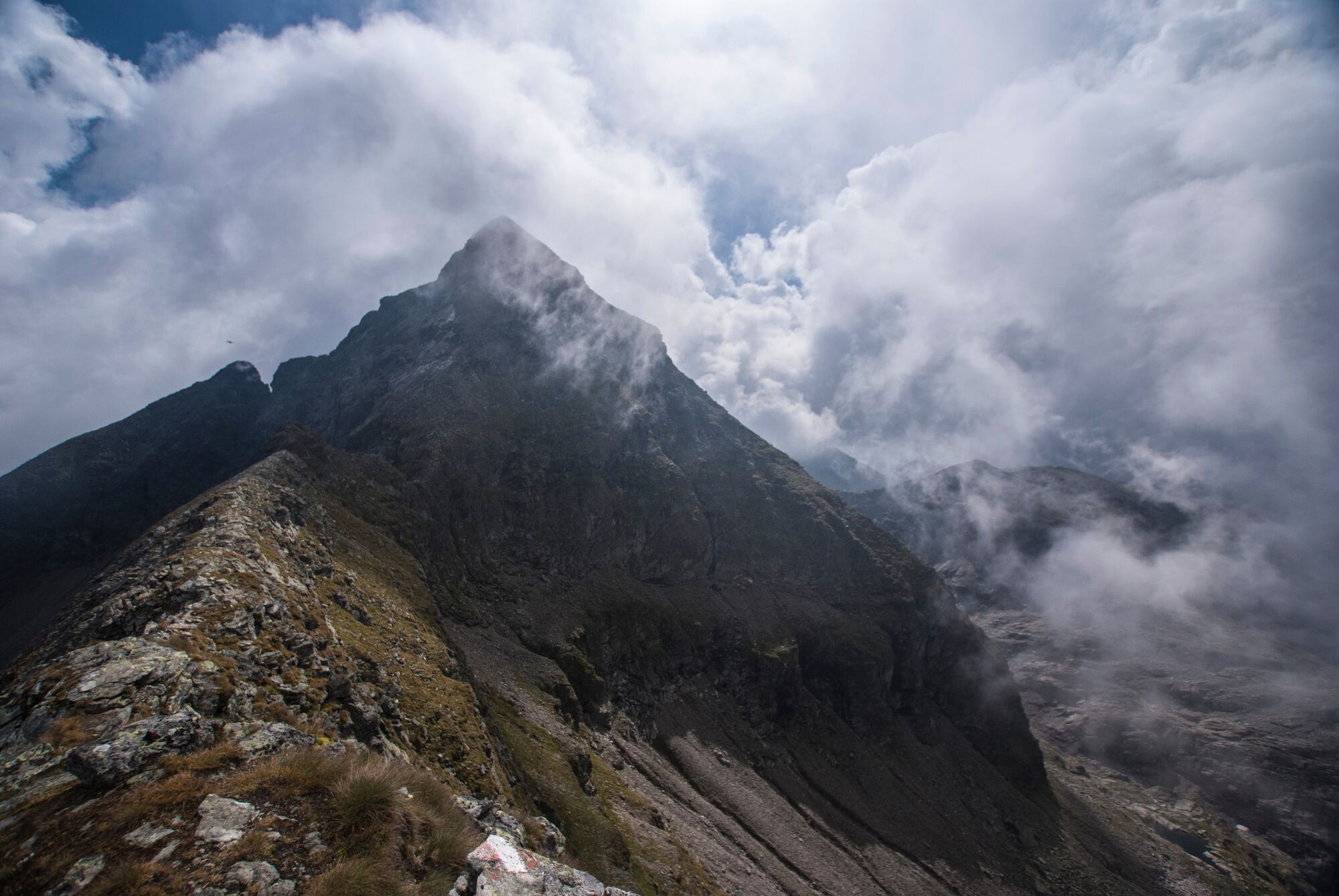
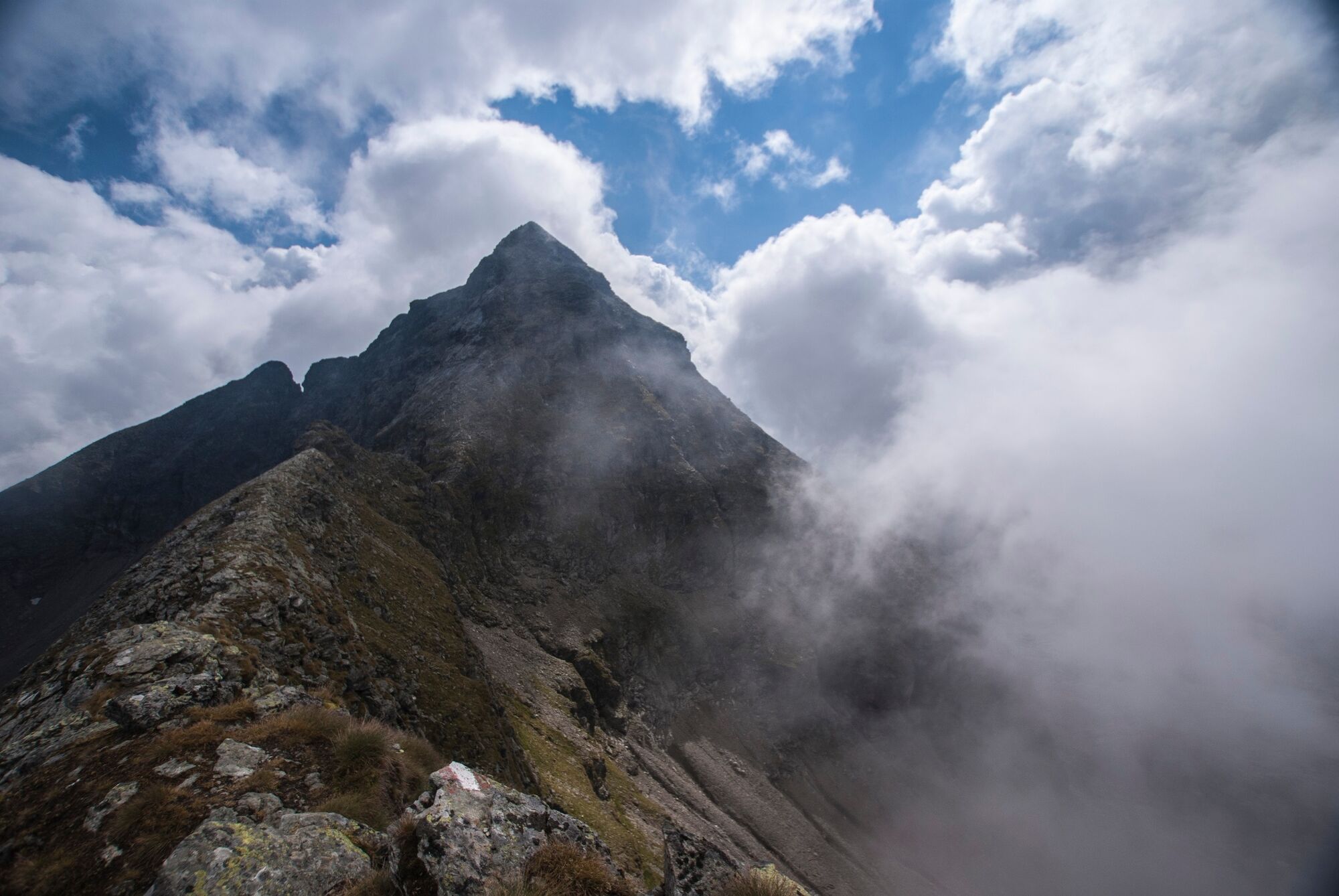
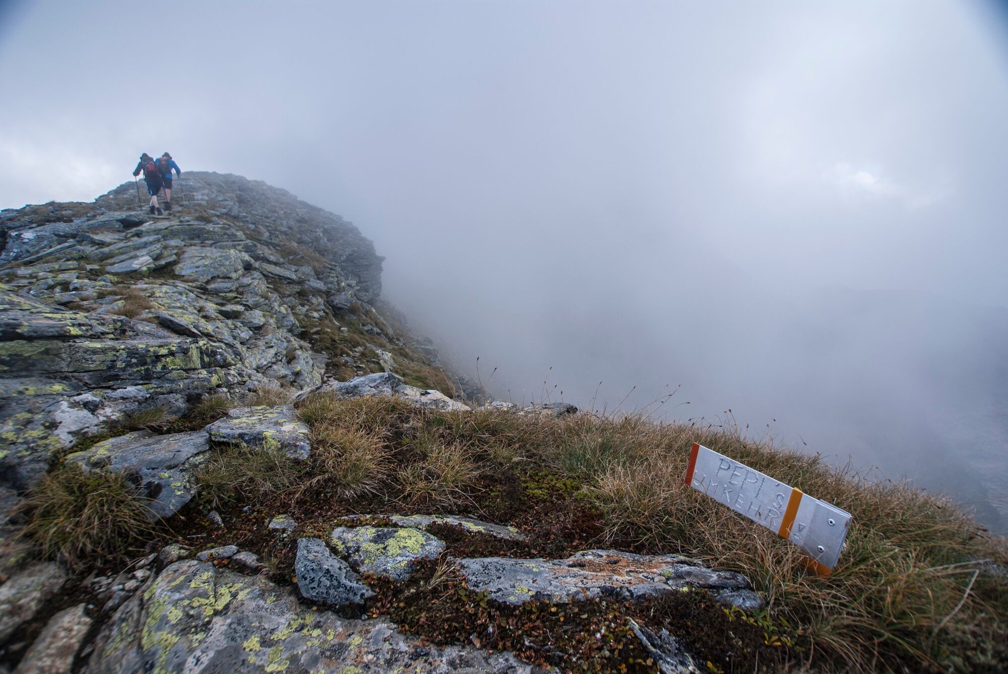
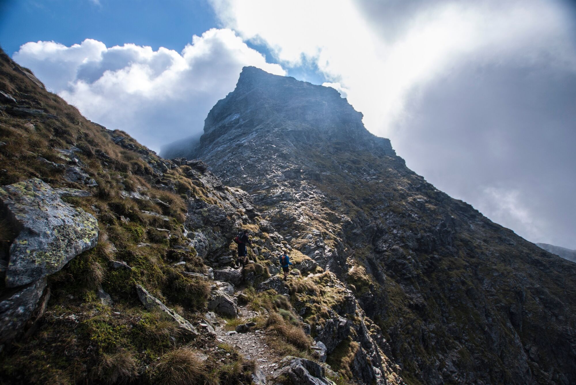
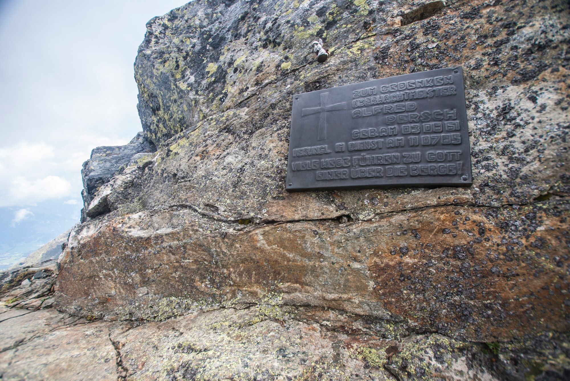
Rewarding, exhausting and not without danger!
- Teškoća
-
teška
- Vrednovanje
-
- Wegverlauf
-
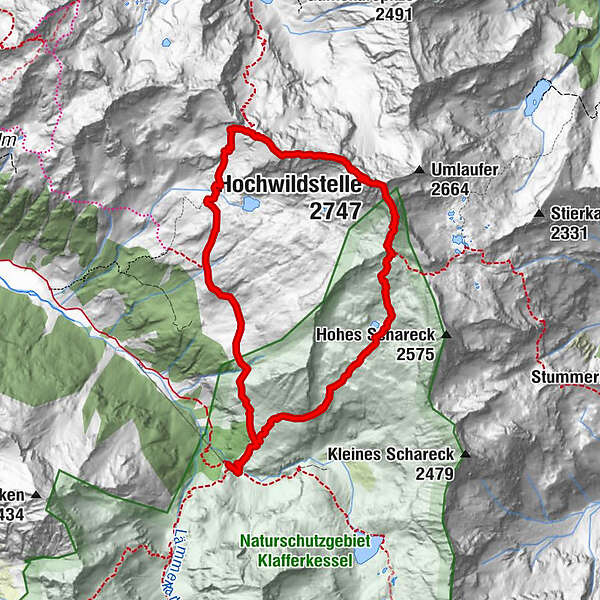
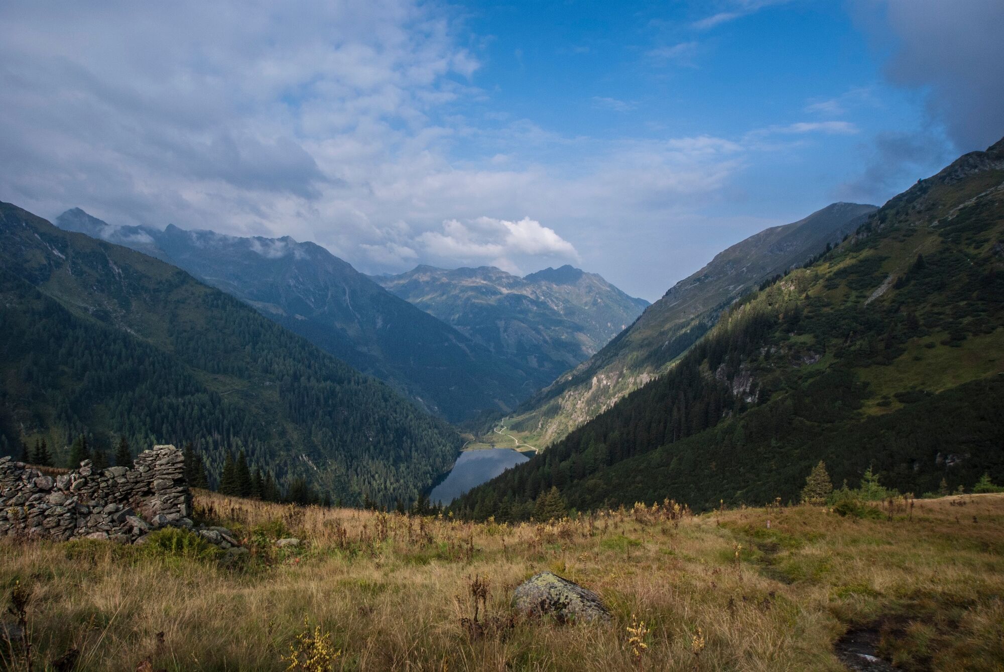
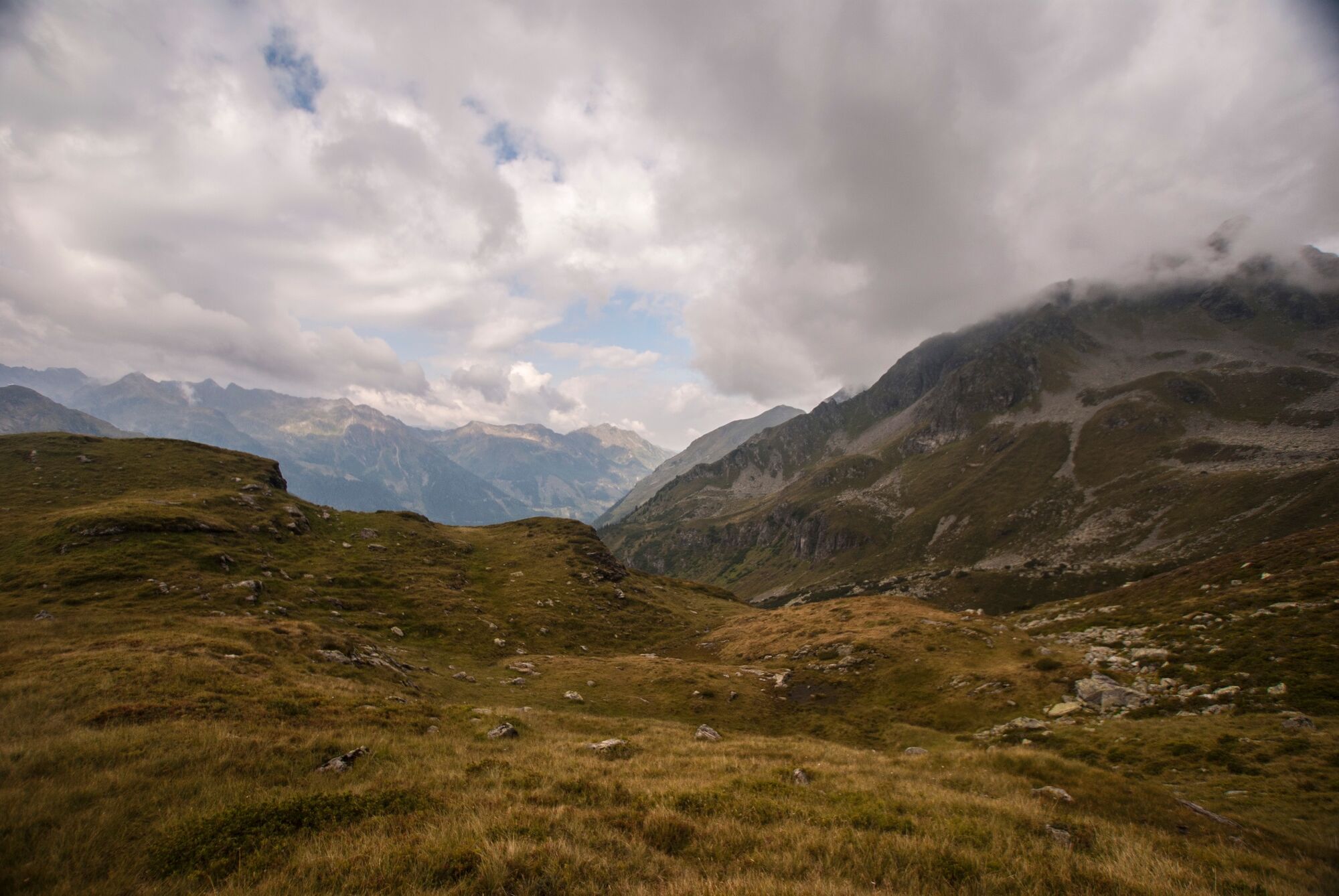
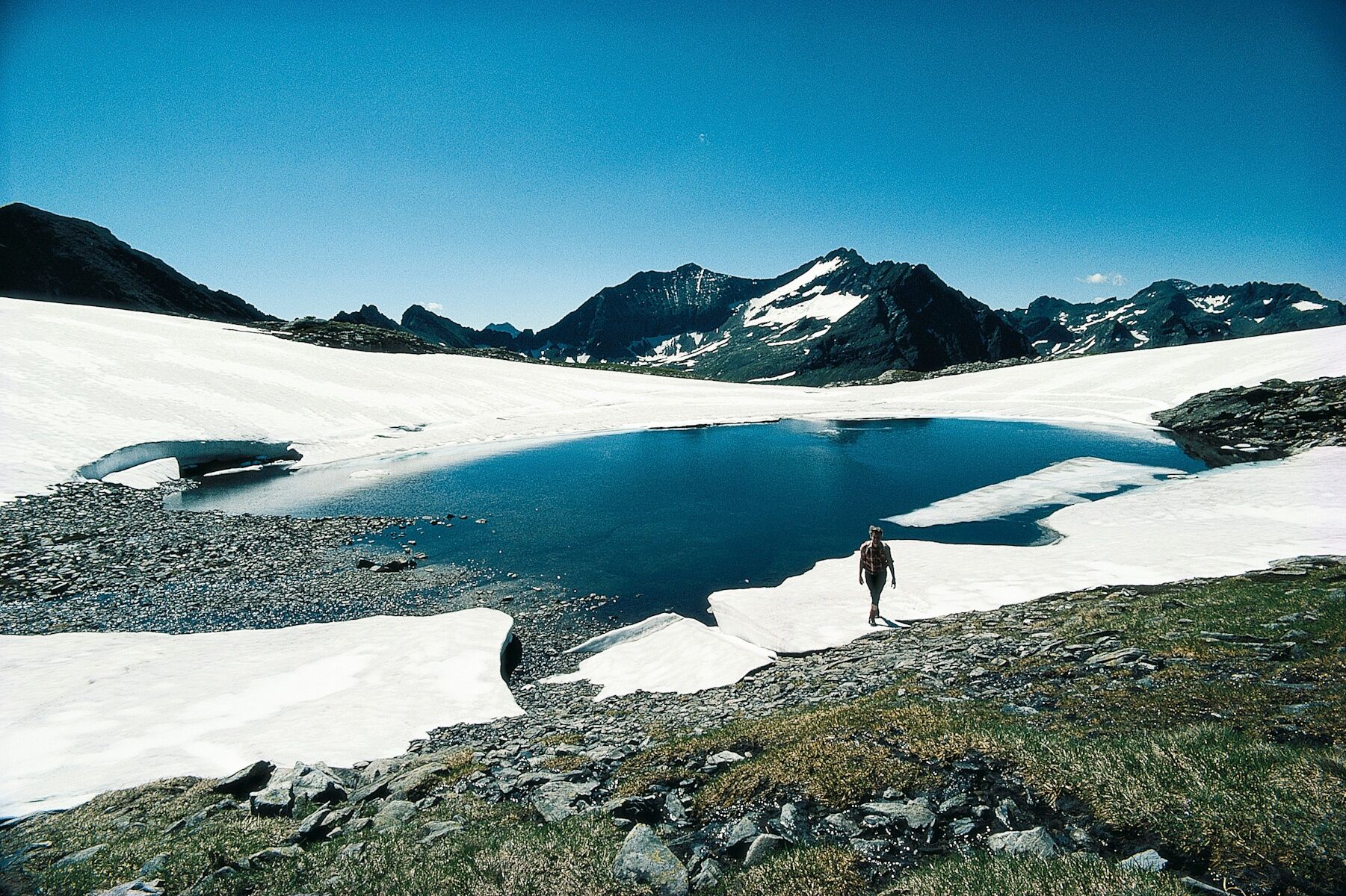
Waldhornalm0,0 kmWildlochscharte (2.488 m)3,3 kmHochwildstelle (2.747 m)4,1 kmSeewigscharte (2.555 m)4,5 kmKleine Wildstelle (2.577 m)4,8 kmPreintalerhütte (1.657 m)9,8 kmWaldhornalm9,8 km
- Beste Jahreszeit
-
sijveljožutrasvilipsrpkolrujlisstupro
- Höchster Punkt
- 2.734 m
- Zielpunkt
-
To the Hochwildstelle and back to the Preintalerhütte
- Höhenprofil
-


-

-
AutorDie Tour The Hochwildstelle - 2.747m via the Preintalerhütte wird von outdooractive.com bereitgestellt.
GPS Downloads


Opće informacije
Einkehrmöglichkeit
Geheimtipp
Flora
Aussichtsreich
Weitere Touren in den Regionen
-
Schladming - Dachstein
3000
-
Haus - Aich
1364
-
Haus im Ennstal
367


