© Alpenverein Austria - Dr. Richard Goldband

© TV Hochsteiermark - Fritz Bayerl

© Alpenverein Austria - Dr. Richard Goldband

© TV Hochsteiermark - Tom Lamm

- Kratak opis
-
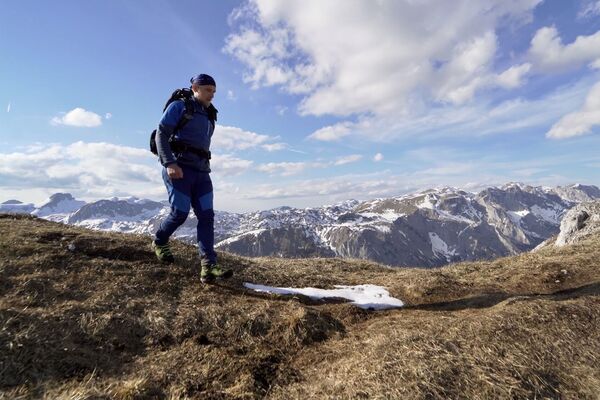
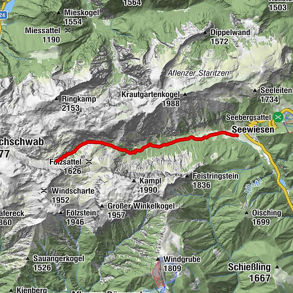
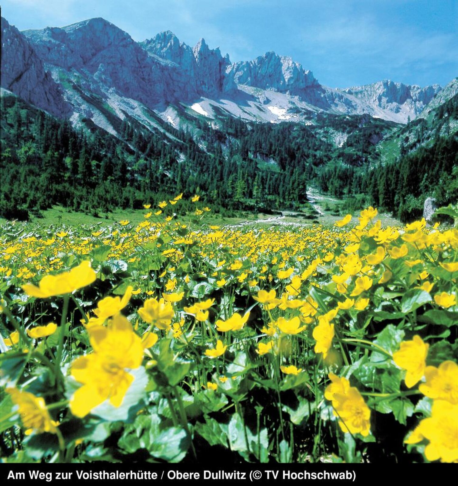
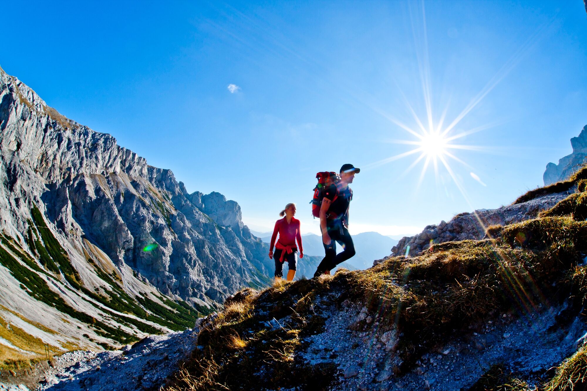
Wonderful Hochschwab motifs await the hiker on this moderately difficult day hike. By the way, the path through the valley of the lake is the most frequented path to the Hochschwab summit.
- Teškoća
-
srednje
- Vrednovanje
-
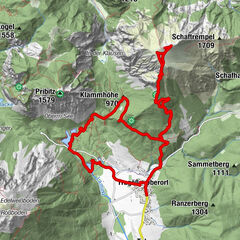
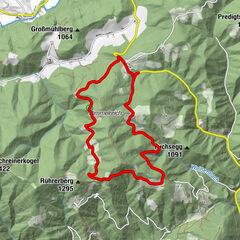
- Wegverlauf
-
Florlhütte (1.284 m)4,4 kmHöllkampl (1.449 m)5,4 kmVoisthalergasse6,7 km
- Beste Jahreszeit
-
sijveljožutrasvilipsrpkolrujlisstupro
- Höchster Punkt
- 1.649 m
- Zielpunkt
-
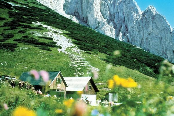
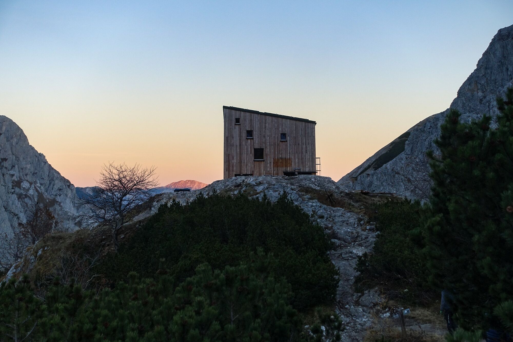
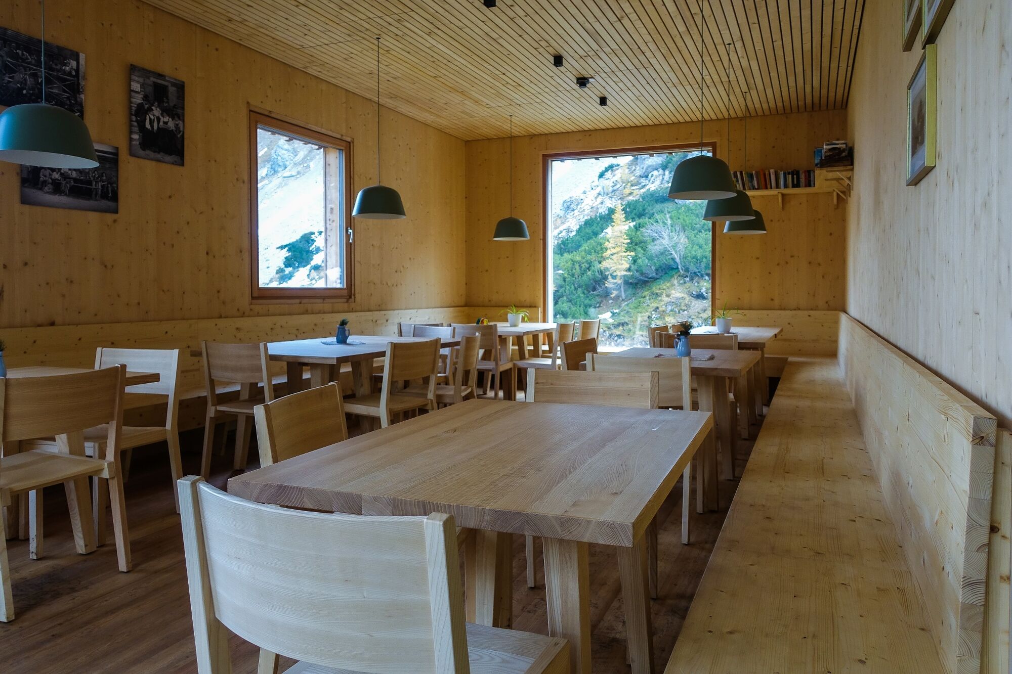
Voisthalerhütte 1654 m
- Höhenprofil
-

- Autor
-
Die Tour Seewiesen - Voisthalerhütte wird von outdooractive.com bereitgestellt.
GPS Downloads


Opće informacije
Einkehrmöglichkeit
Aussichtsreich
Weitere Touren in den Regionen