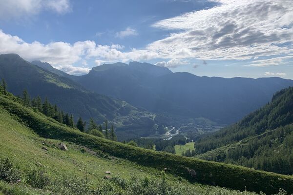
© TV ERZBERG LAND - Markus Leitner

© TV ERZBERG LAND - Markus Leitner

© TV ERZBERG LAND - Markus Leitner

© Tourismusverband ERZBERG LEOBEN - Markus Leitner

- Kratak opis
- Teškoća
-
lagano
- Vrednovanje
-
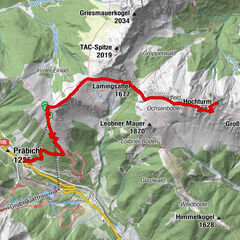
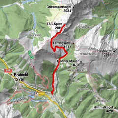
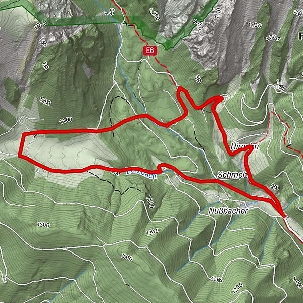
- Wegverlauf
-
Hirnalm5,5 km
- Beste Jahreszeit
-
sijveljožutrasvilipsrpkolrujlisstupro
- Höchster Punkt
- 1.082 m
- Zielpunkt
-
Krumpengraben parking lot
- Höhenprofil
-


- Autor
-
Die Tour Marmot hike wird von outdooractive.com bereitgestellt.
GPS Downloads


Opće informacije
Einkehrmöglichkeit
Geheimtipp
Flora
Fauna
Aussichtsreich
Weitere Touren in den Regionen
-
Erzberg Leoben
2527
-
Hochschwab
1271
-
Vordernberg
405