© Hannes Peer - Schladming Dachstein


- Kratak opis
-
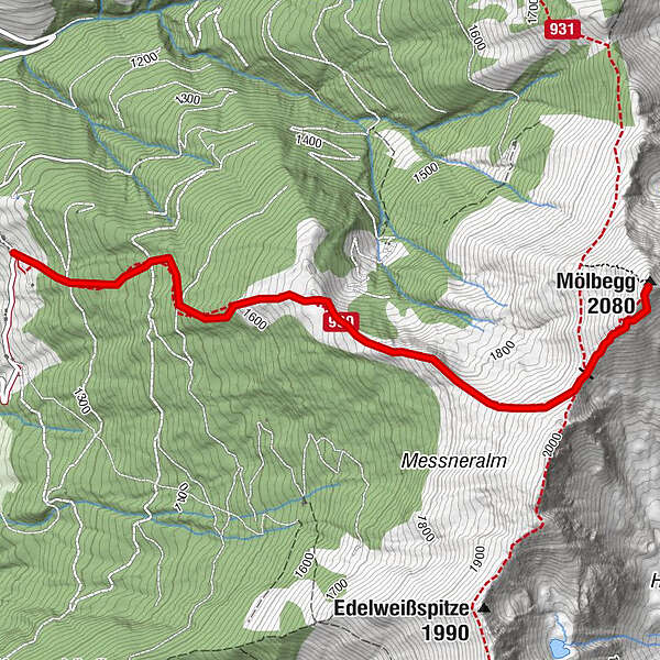
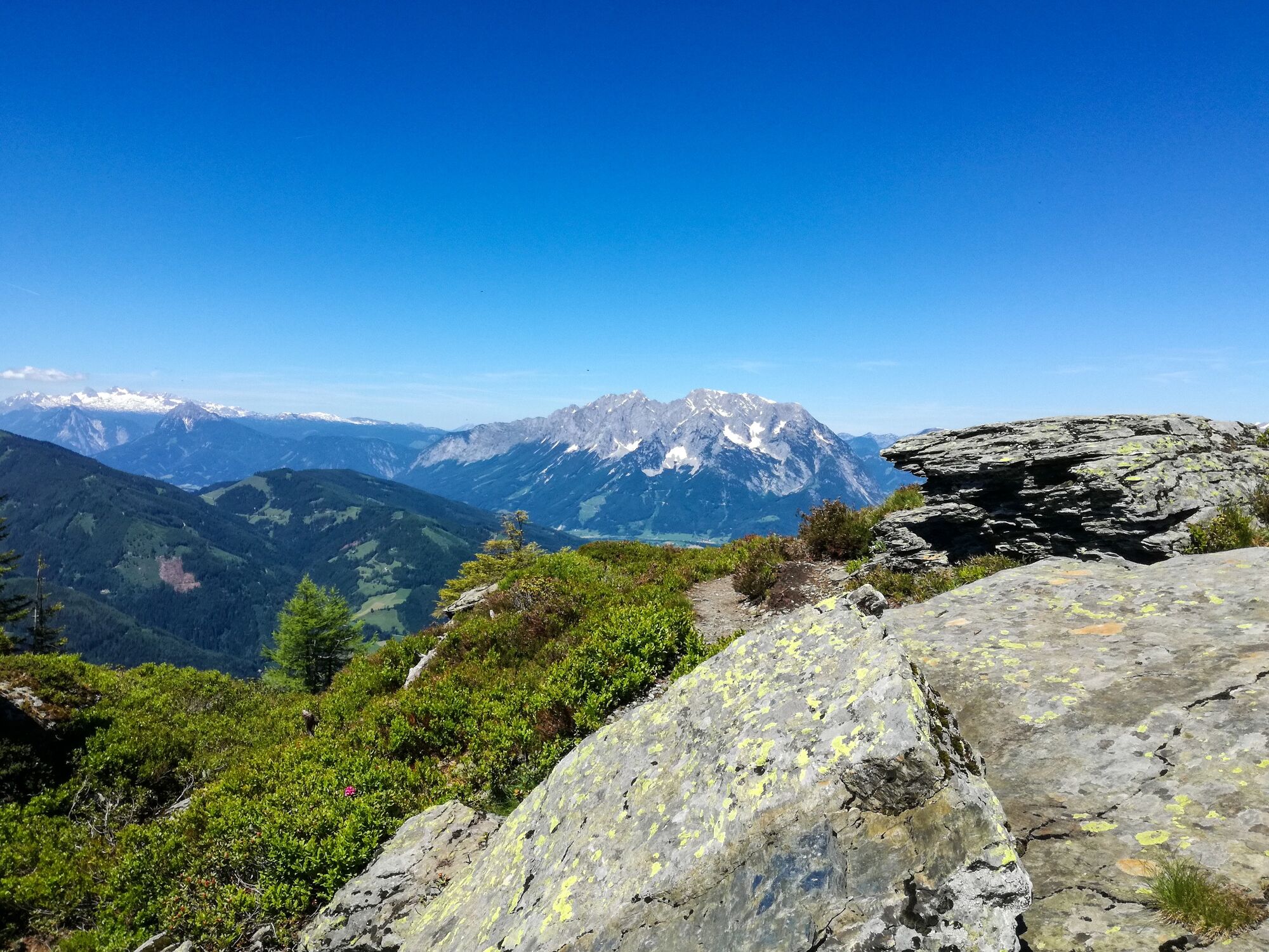
The way leads from the highest situated house in Donnersbach along a forest walk to the timberline. It goes on across the ridge to the two summits.
- Teškoća
-
srednje
- Vrednovanje
-
- Wegverlauf
-
Mölbegg (2.080 m)3,3 km
- Beste Jahreszeit
-
sijveljožutrasvilipsrpkolrujlisstupro
- Höchster Punkt
- 2.071 m
- Zielpunkt
-
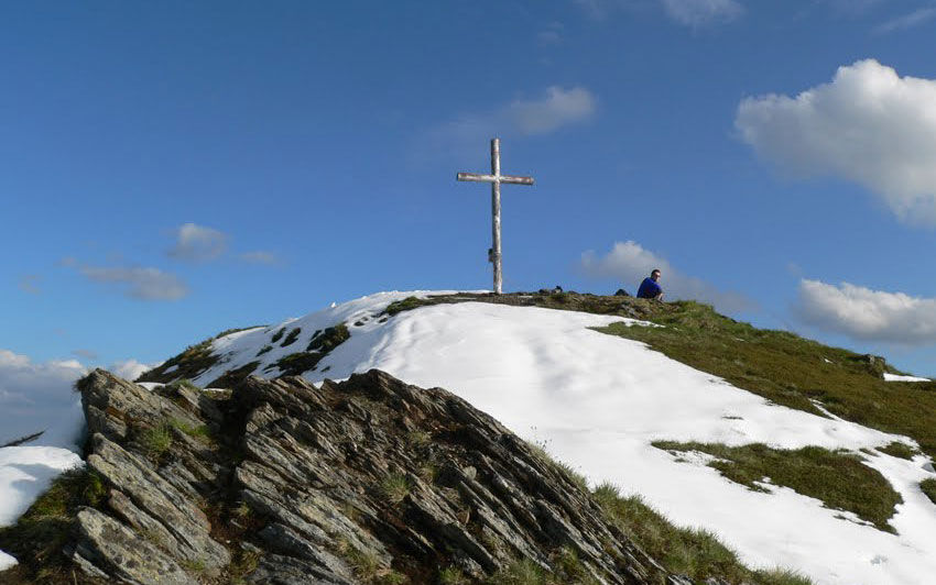
Summit Mölbegg and back to the farm Hochbär
- Höhenprofil
-


- Autor
-
Die Tour Mölbegg wird von outdooractive.com bereitgestellt.
GPS Downloads


Opće informacije
Flora
Fauna
Aussichtsreich
Weitere Touren in den Regionen