© Stadtgemeinde Voitsberg - Die Abbildere, Dieter Sajovic

© Stadtgemeinde Voitsberg - Dieter Sajovic

© Stadtgemeinde Voitsberg - Dieter Sajovic

© Stadtgemeinde Voitsberg - Dieter Sajovic

© Abbilderei - Dieter Sajovic

© Abbilderei - Dieter Sajovic

© Region Graz - Gerhard Langusch

© Region Graz - Tourismusverband Lipizzanerheimat

© Stadtgemeinde Voitsberg - Dieter Sajovic

© Region Graz - TV Lipizzanerheimat_EU
- Kratak opis
-
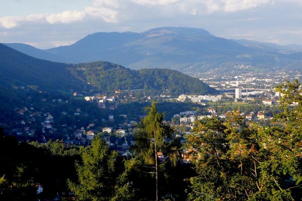
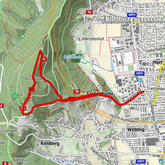
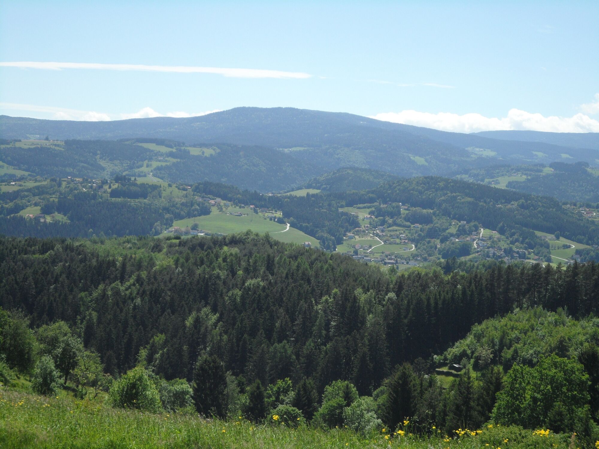
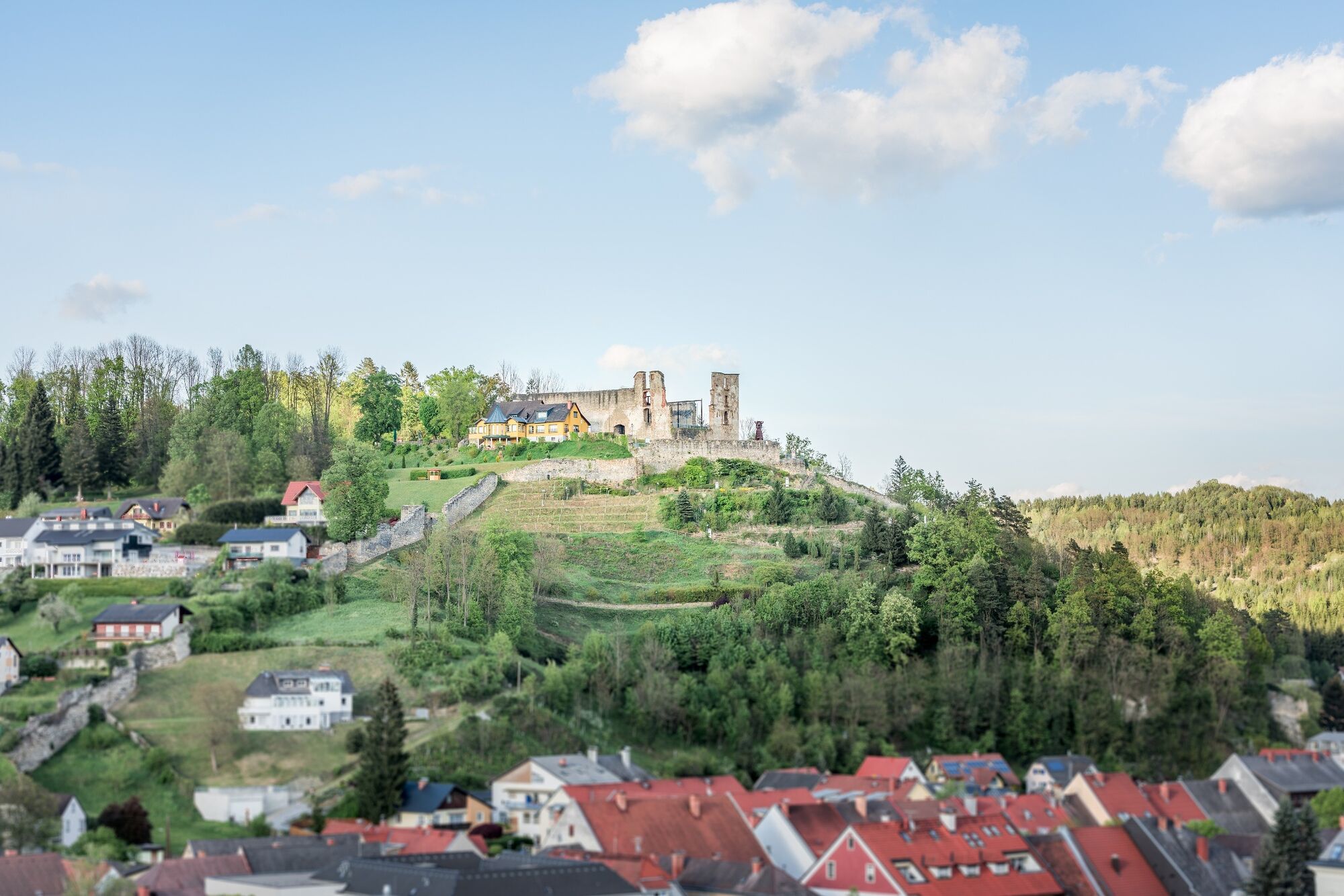
We can get to know the sunny side of the town of Voitsberg on this hike, which takes us from the town center to the rural areas up to the municipal border with Stallhofen.
- Teškoća
-
srednje
- Vrednovanje
-
- Wegverlauf
-
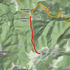
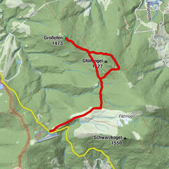
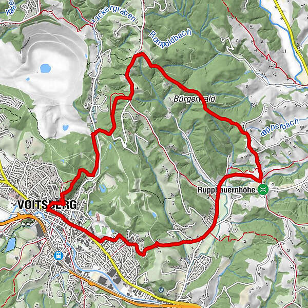
Voitsberg0,0 kmSchneiderwirt3,9 kmLobming9,1 kmGasthaus Toni Peter9,2 kmStitz-Bildstock11,1 kmVoitsberg12,7 km
- Beste Jahreszeit
-
sijveljožutrasvilipsrpkolrujlisstupro
- Höchster Punkt
- 590 m
- Zielpunkt
-
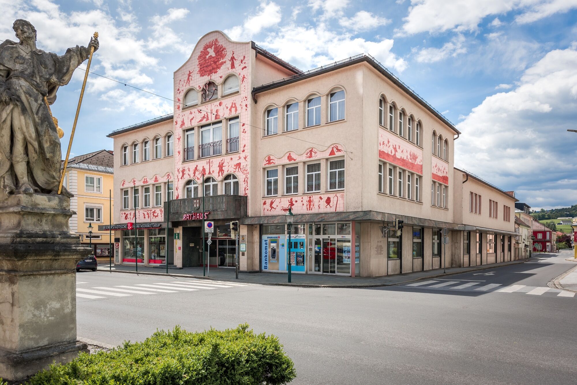
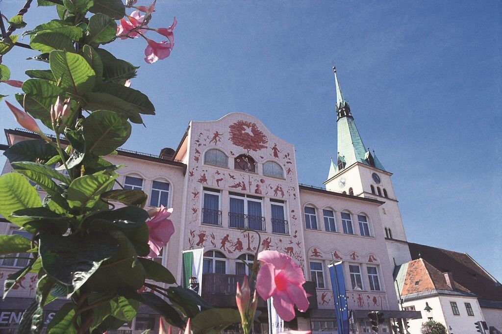
Voitsberg, Arik Brauer Town Hall
- Höhenprofil
-


-

-
AutorDie Tour On the sunny side of Voitsberg wird von outdooractive.com bereitgestellt.
GPS Downloads


Opće informacije
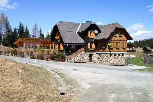
Einkehrmöglichkeit
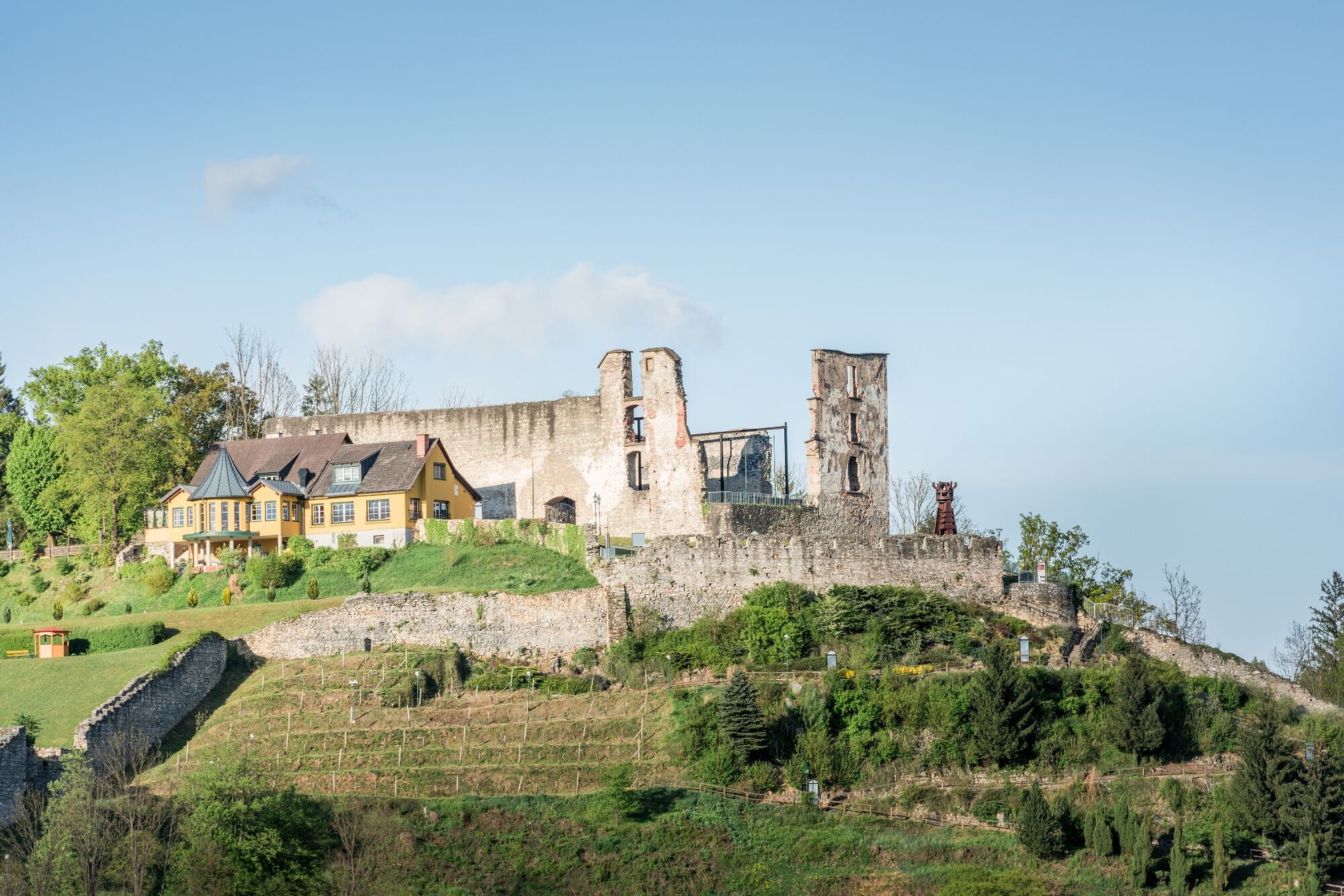
Kulturell/Historisch
Aussichtsreich
Weitere Touren in den Regionen