© Tourismusverband Region Murau - Tom Lamm


© Tourismusverband Region Murau - Anton Schwaiger

- Kratak opis
-
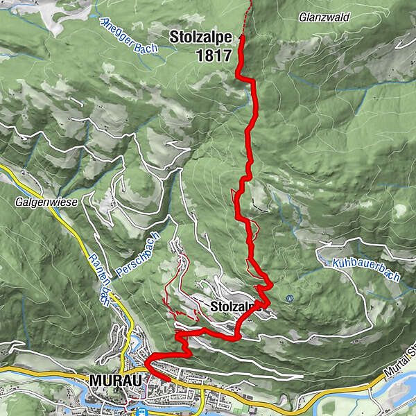
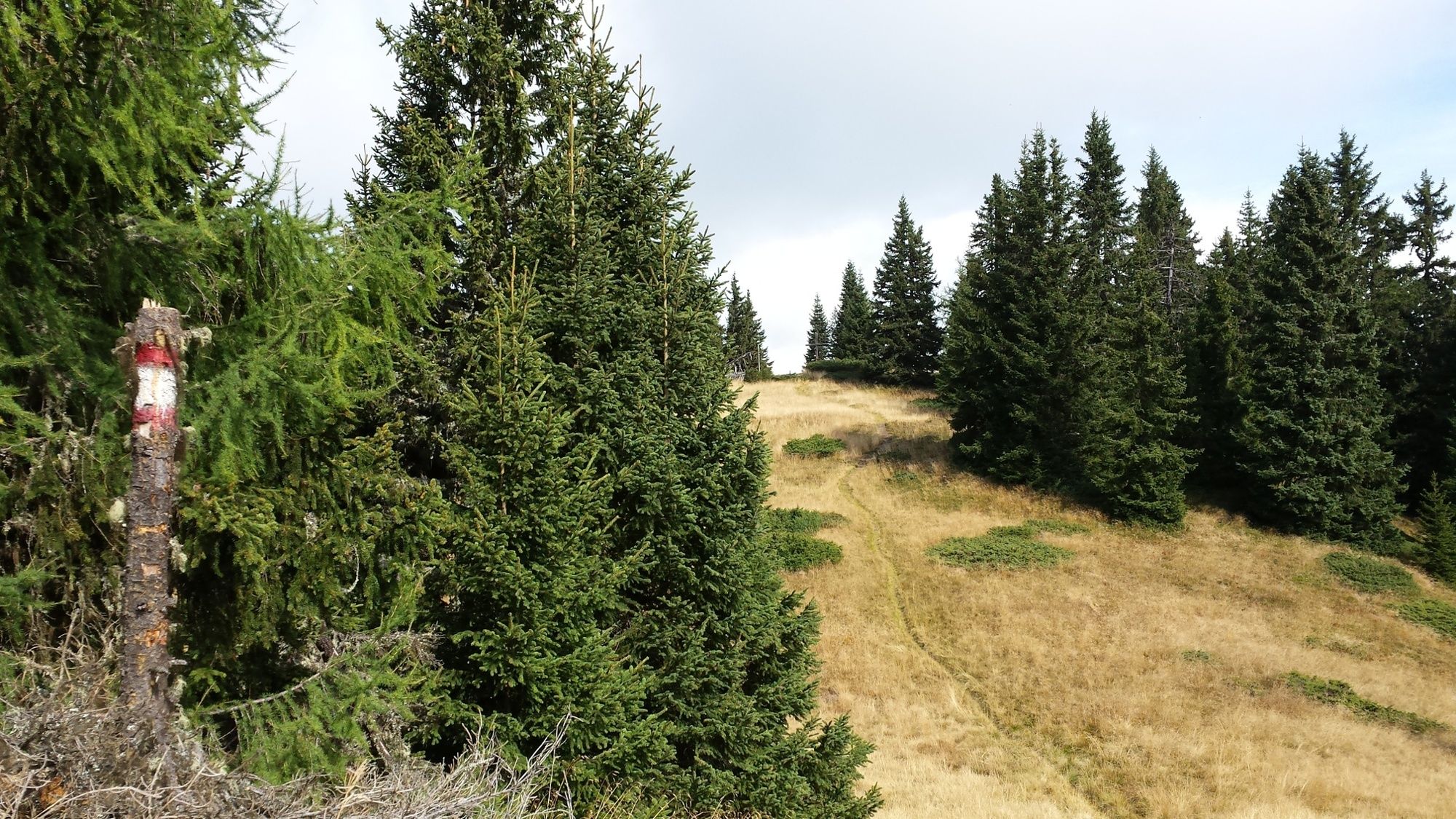
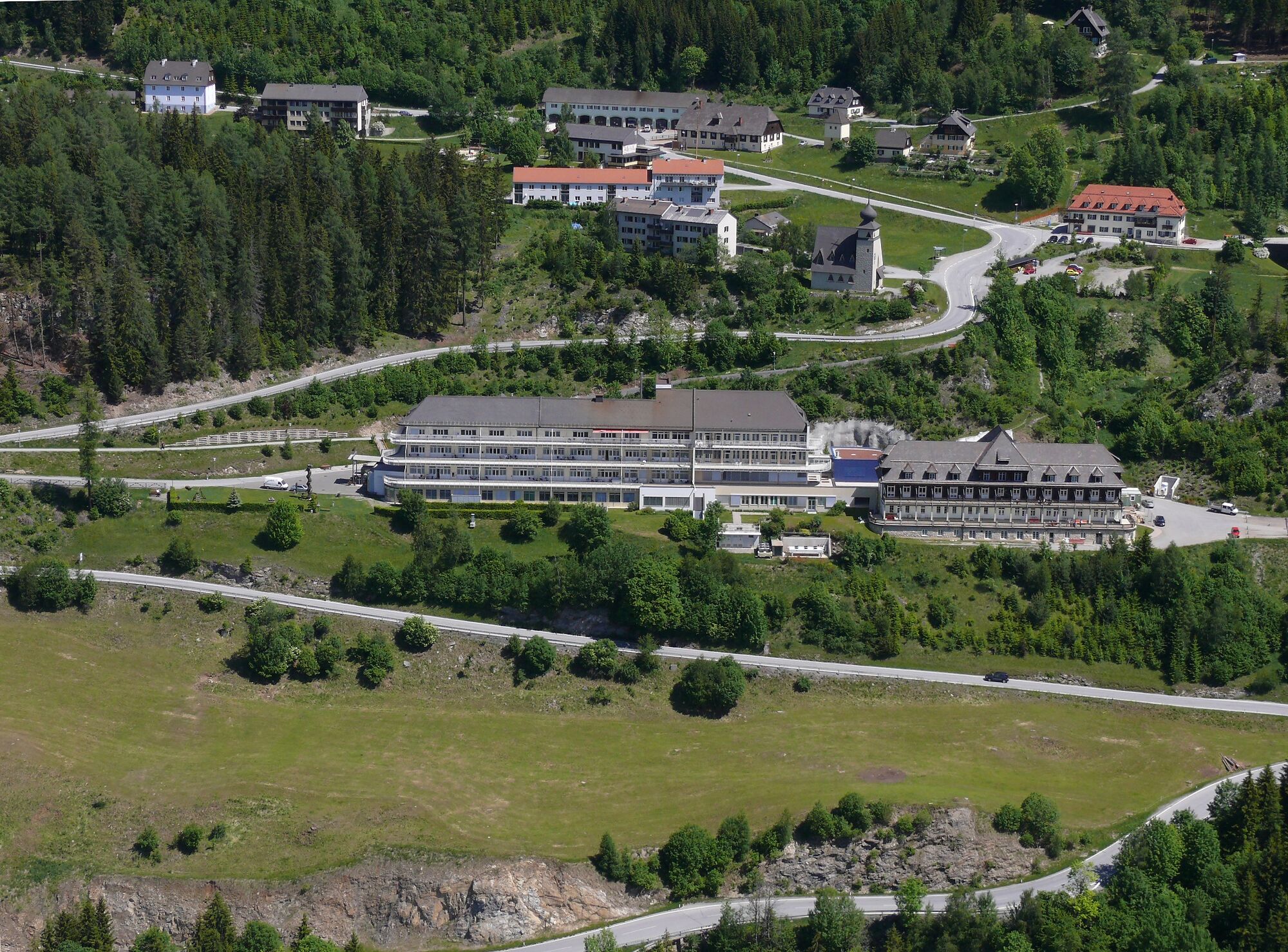
This particularly rewarding hike runs from the district town of Murau up to the summit of the Stolzalpe.
- Teškoća
-
lagano
- Vrednovanje
-
- Wegverlauf
-
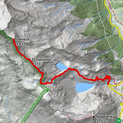
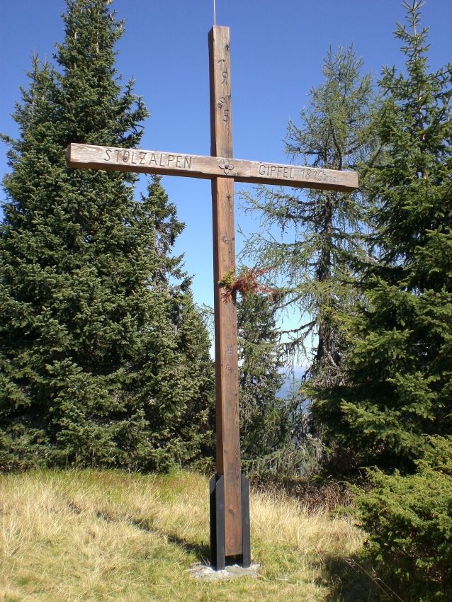
Murau (829 m)0,4 kmMesskapelle zum Hl. Erlöser2,3 kmStolzalpe2,5 kmKapelle mit historischem Wegkreuz6,7 kmStolzalpe (1.817 m)7,0 kmStolzalpe11,6 kmMesskapelle zum Hl. Erlöser11,7 kmMurau (829 m)13,8 km
- Beste Jahreszeit
-
sijveljožutrasvilipsrpkolrujlisstupro
- Höchster Punkt
- 1.808 m
- Zielpunkt
-
Stolzalpe summit - Murau
- Höhenprofil
-


- Autor
-
Die Tour Route to the Stolzalpe summit wird von outdooractive.com bereitgestellt.
GPS Downloads


Opće informacije
Kulturell/Historisch
Aussichtsreich
Weitere Touren in den Regionen
-
TourismusRegion Murau
1743
-
Naturpark Zirbitzkogel - Grebenzen
668
-
Murau
151