© Tourismusverband Region Murau - Tom Lamm

© Tourismusverband Region Murau - Tom Lamm

© Tourismusverband Region Murau - Tom Lamm

- Kratak opis
-
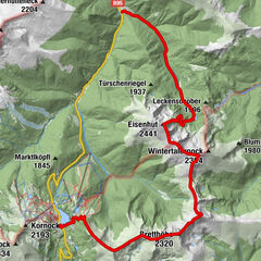
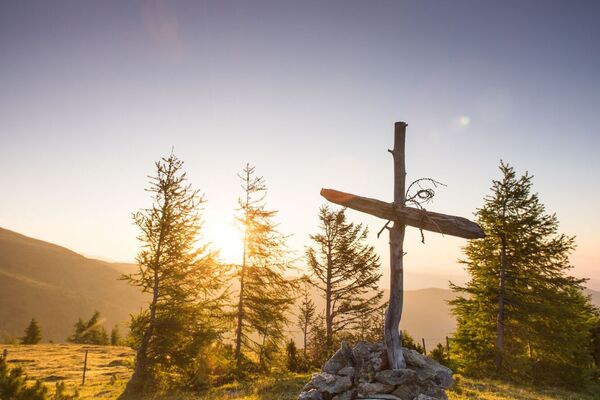
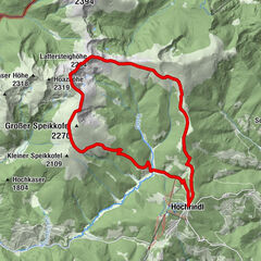
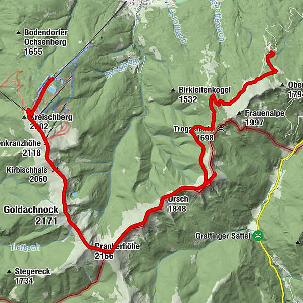
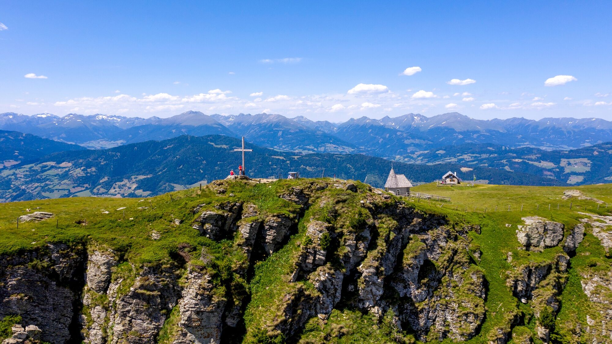
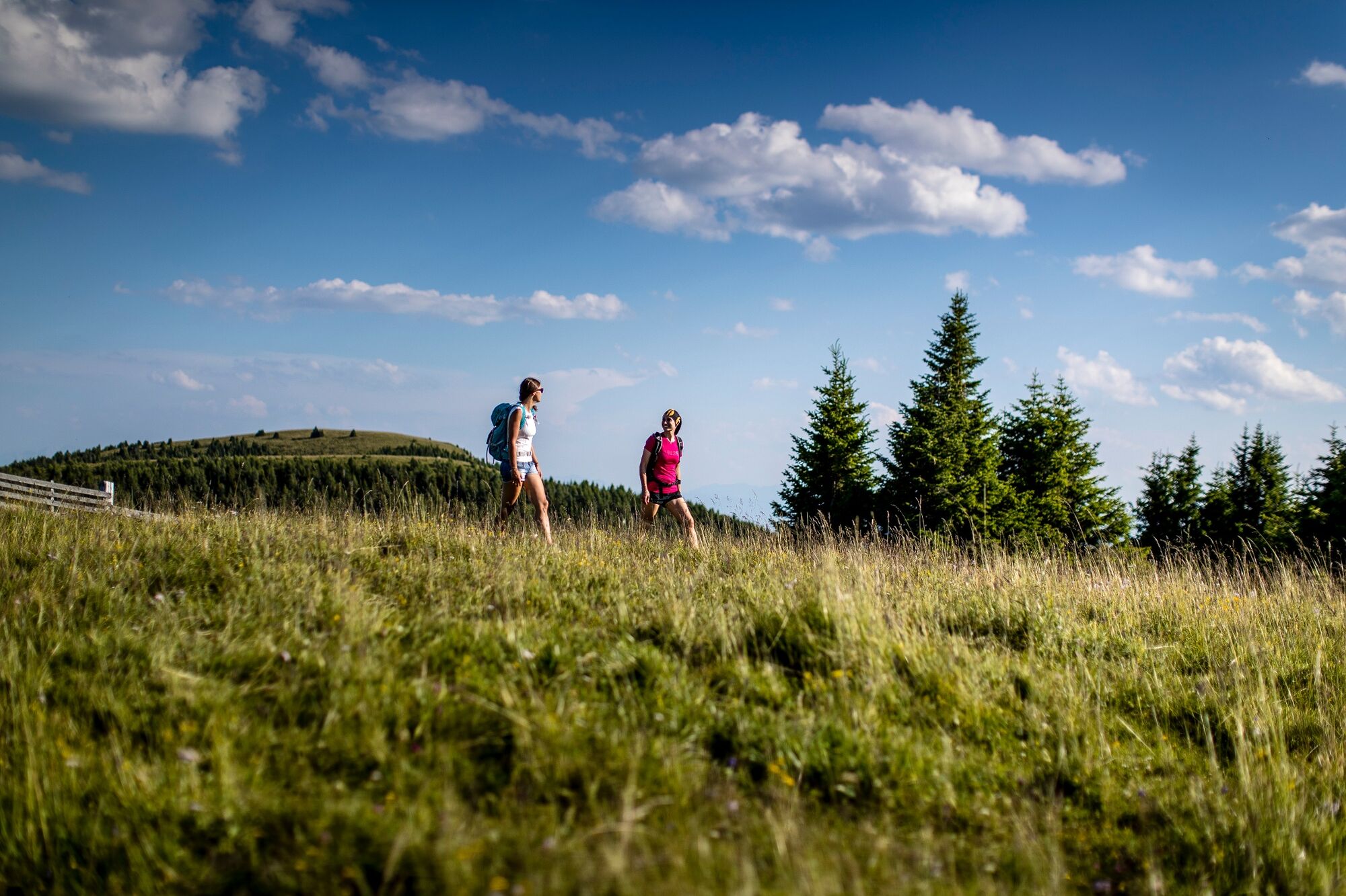
A very long hike from the Frauenalpe to the Kreischberg, boasting outstanding views on alpine meadows and hiking trails, and particularly suitable for hikers with plenty of stamina.
- Teškoća
-
teška
- Vrednovanje
-
- Wegverlauf
-
Murauer Hütte0,0 kmAckerlhöhe (2.040 m)8,6 kmUrsch (1.848 m)10,8 kmSchwarmbrunnhöhe (2.120 m)13,4 kmTeringerloch (2.047 m)13,9 kmPrankerhöhe (2.166 m)14,3 kmSchattloch (2.033 m)15,3 kmGoldachnock (2.171 m)16,0 kmKirbischhals (2.060 m)17,5 kmKirbisch (2.140 m)17,8 kmRosenkranzhöhe (2.118 m)18,5 km
- Beste Jahreszeit
-
sijveljožutrasvilipsrpkolrujlisstupro
- Höchster Punkt
- 2.149 m
- Zielpunkt
-
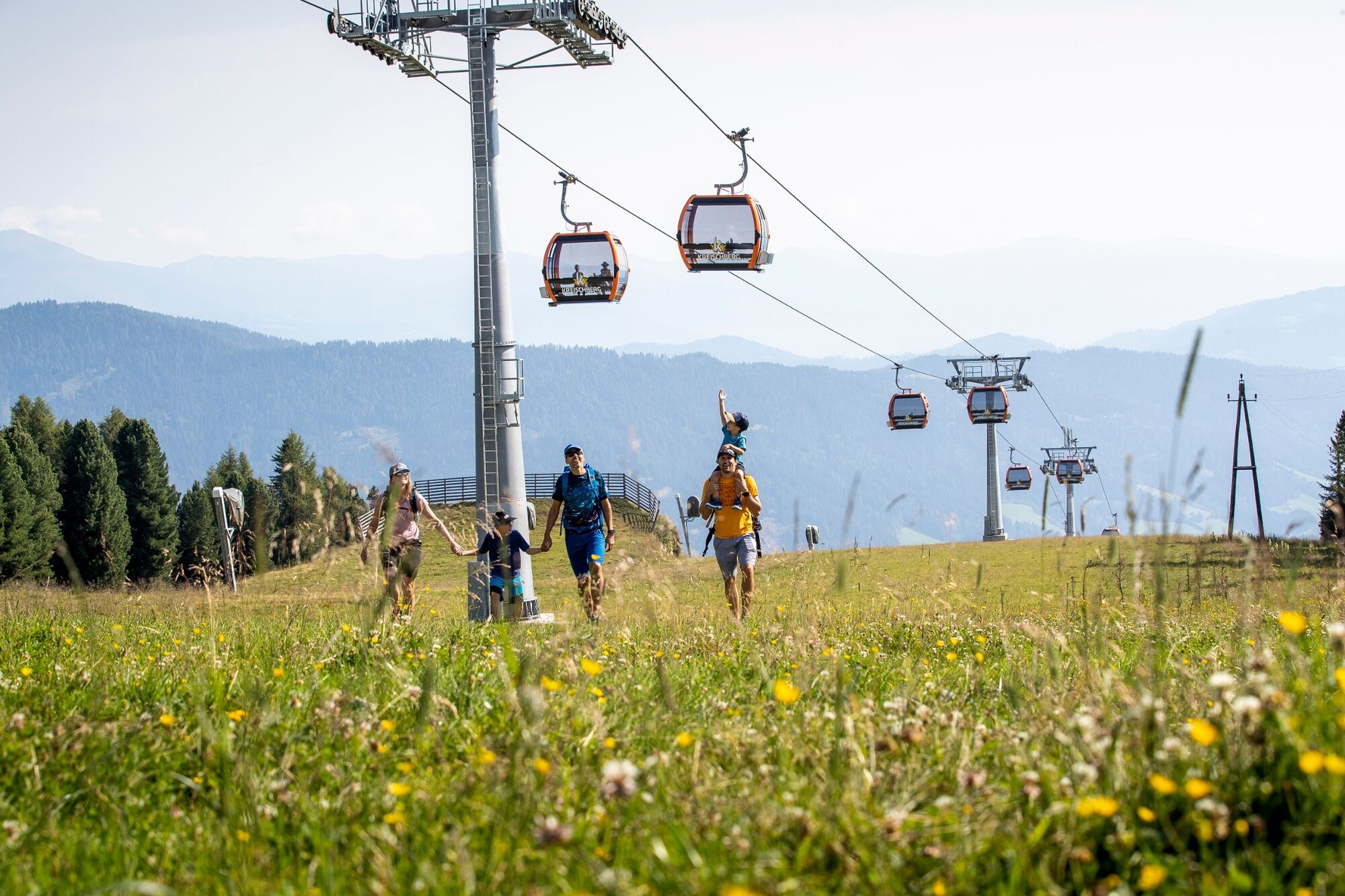
Mountain station Kreischberg, St. Lorenzen am Kreischberg
- Höhenprofil
-

- Autor
-
Die Tour 8-summit hike: From Frauenalpe to Kreischberg wird von outdooractive.com bereitgestellt.
GPS Downloads


Opće informacije
Aussichtsreich
Weitere Touren in den Regionen
-
TourismusRegion Murau
1743
-
Nockberge
882
-
Murau - Kreischberg
118