© Tourismusverband Region Murau - Tom Lamm

© Tourismusverband Region Murau - Tom Lamm

© Tourismusverband Region Murau - Tom Lamm

© Tourismusverband Region Murau - Tom Lamm

- Kratak opis
-
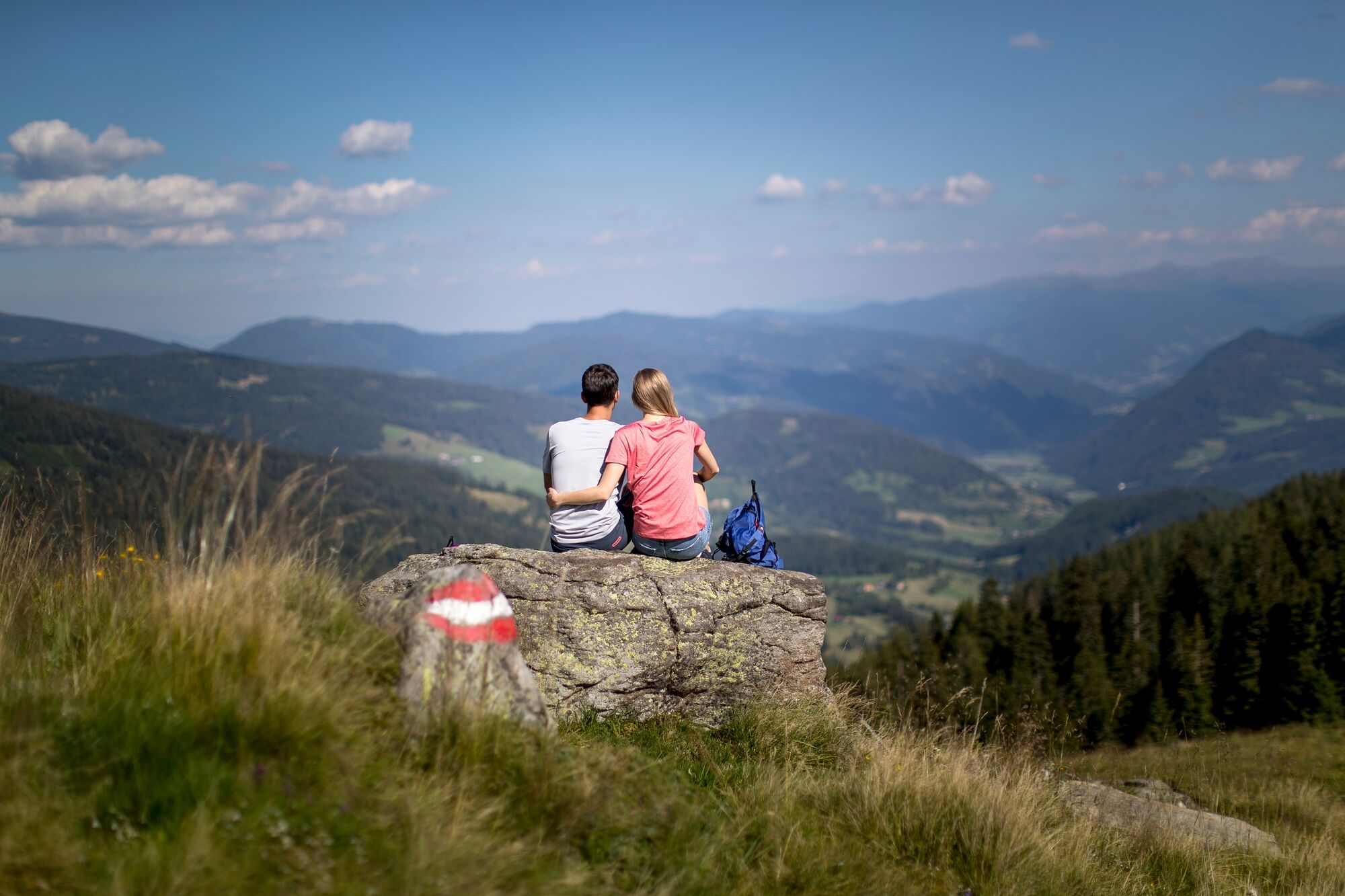
Moderately difficult hike with picturesque landscape backdrops and a not too difficult climb.
- Teškoća
-
srednje
- Vrednovanje
-
- Wegverlauf
-
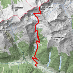
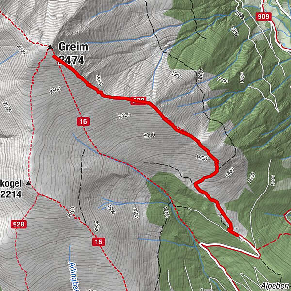
Greim (2.474 m)2,9 km
- Beste Jahreszeit
-
sijveljožutrasvilipsrpkolrujlisstupro
- Höchster Punkt
- 2.427 m
- Zielpunkt
-
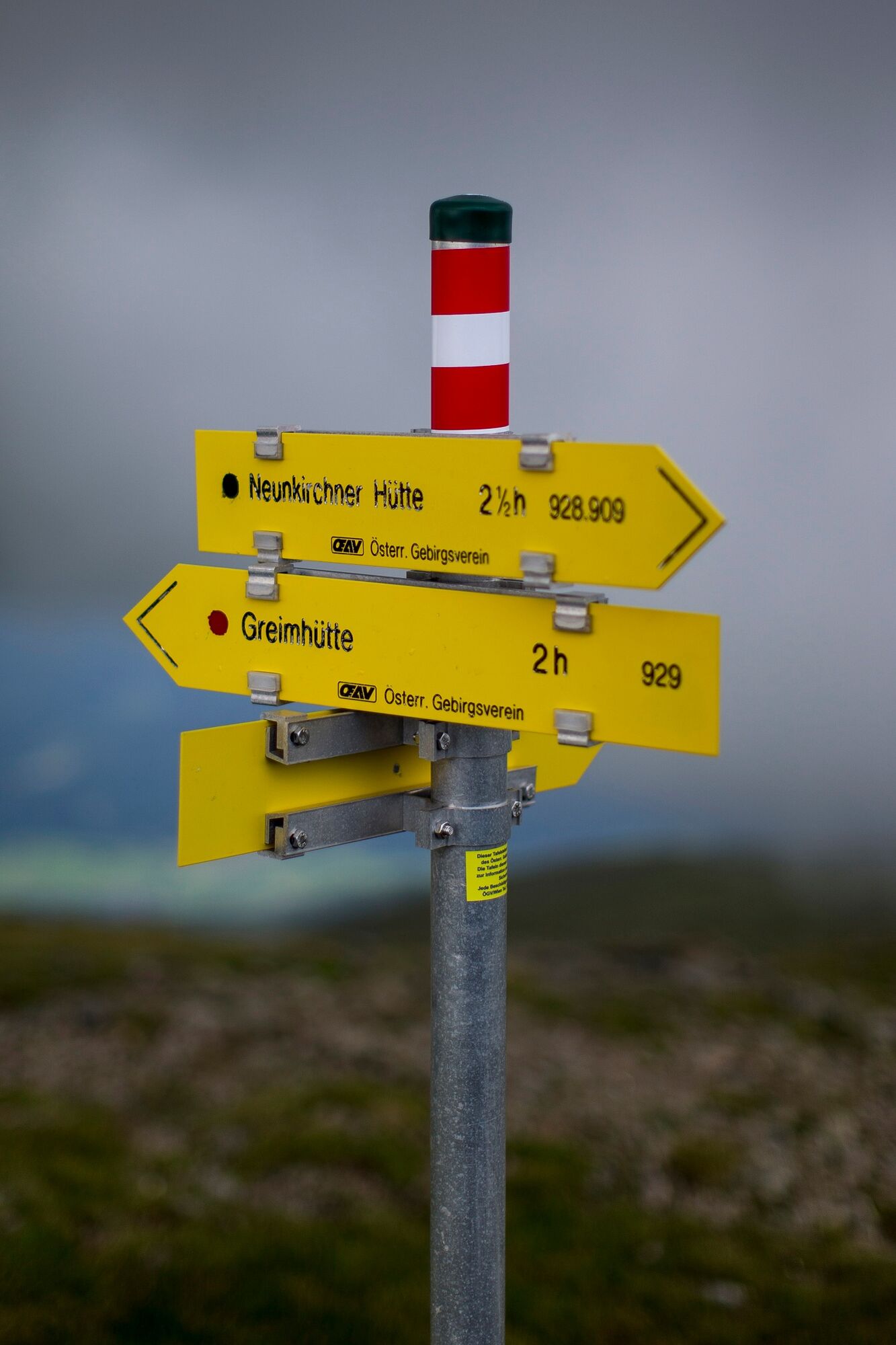
Greim
- Höhenprofil
-


- Autor
-
Die Tour Greim wird von outdooractive.com bereitgestellt.
GPS Downloads


Opće informacije
Einkehrmöglichkeit
Aussichtsreich
Weitere Touren in den Regionen