Stage 05 From Glacier to Wine North Route Tauplitzalm - Hochmölbinghütte


© Steiermark Tourismus/Gery Wolf - Gery Wolf

© Steiermark - Das Grüne Herz

© Steiermark Tourismus/Tom Lamm - Tom Lamm

© (c) Steiermark Tourismus/Manfred Polansky - Manfred Polansky

© (c) Steiermark Tourismus/Manfred Polansky - Manfred Polansky

- Kratak opis
-
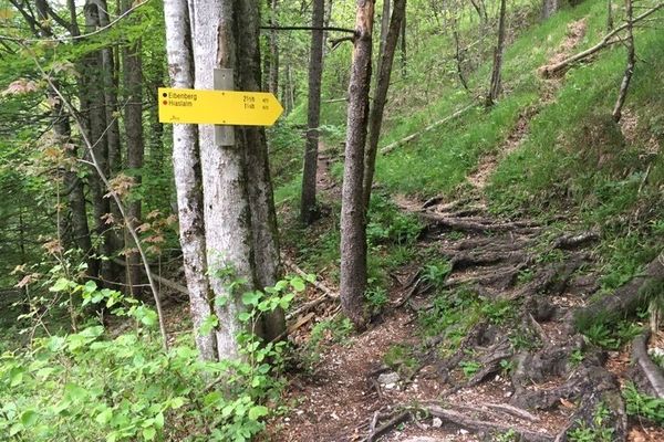
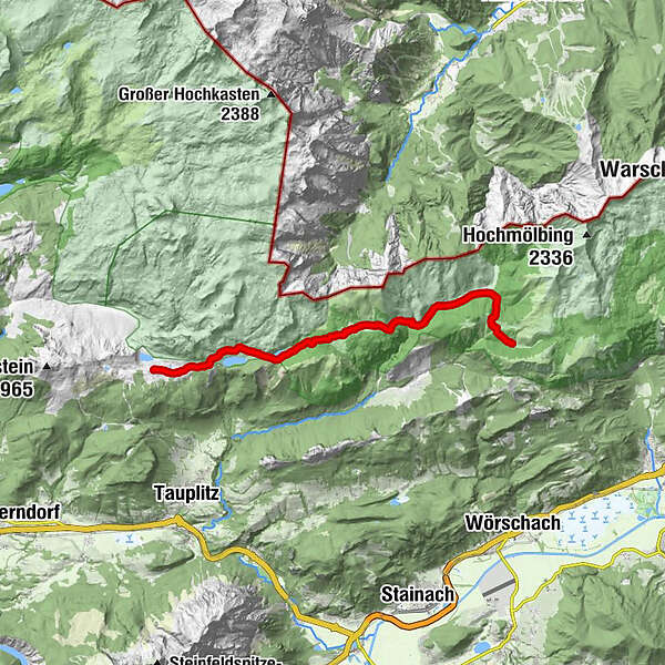
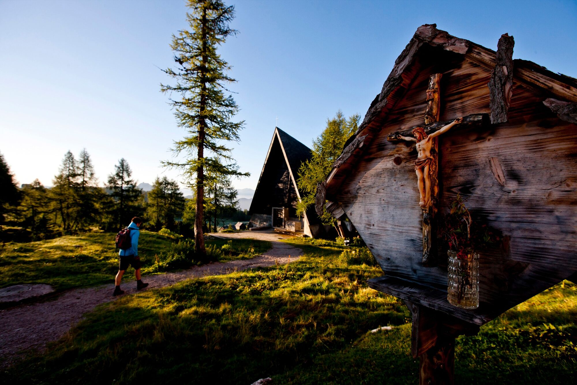
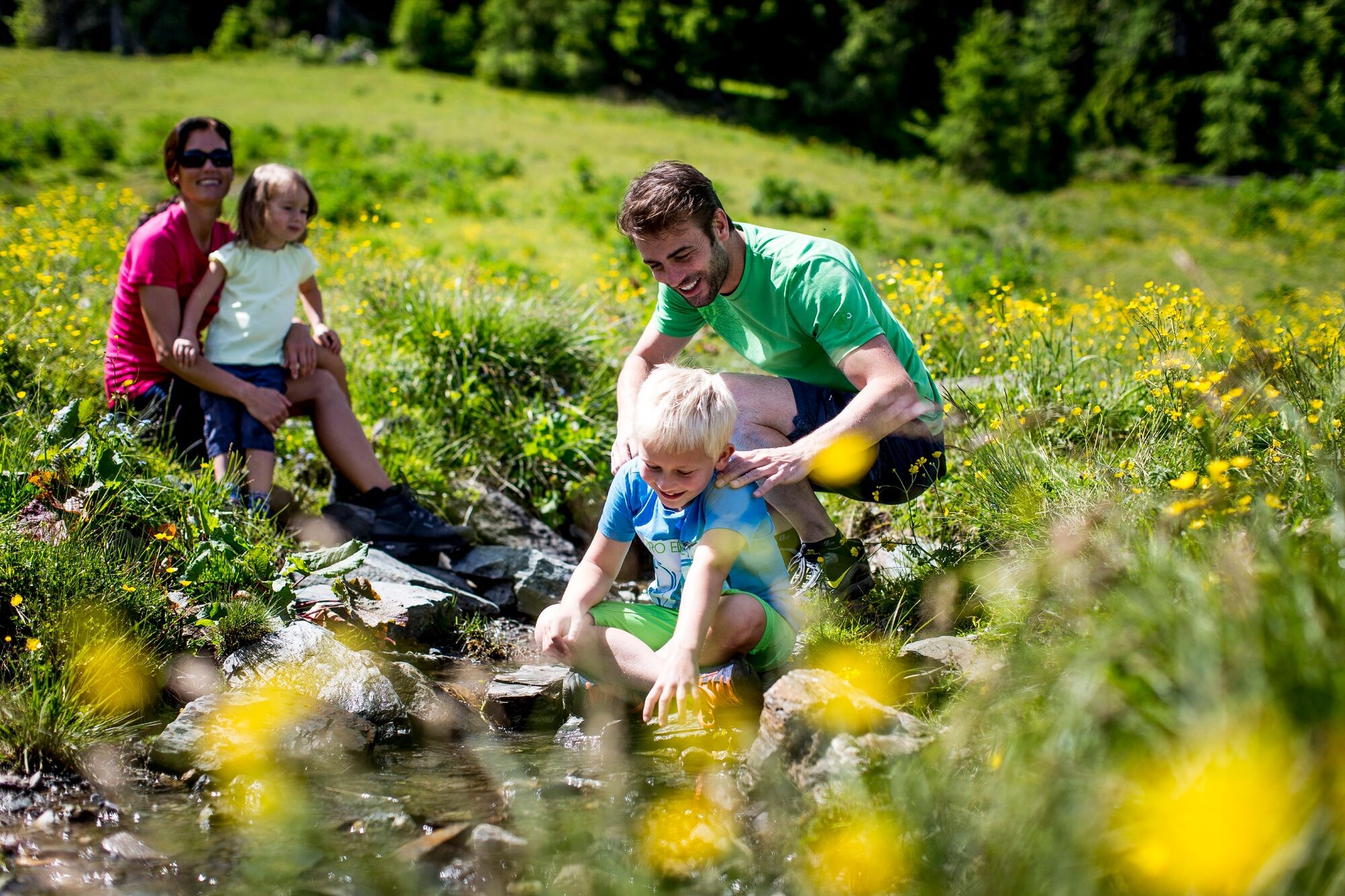
On a section of the long-distance hiking trail 09, the Salzsteig, the route leads through the southern part of the Tote Gebirge mountains to the Ennstal valley. At the beginning, the crossing of the Tauplitzalm is on the program and thus the visit of the largest lake plateau in Europe. At the end, the Hochmölbinghütte with its beautiful location above the Ennstal awaits us.
- Teškoća
-
srednje
- Vrednovanje
-
- Wegverlauf
-
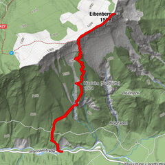
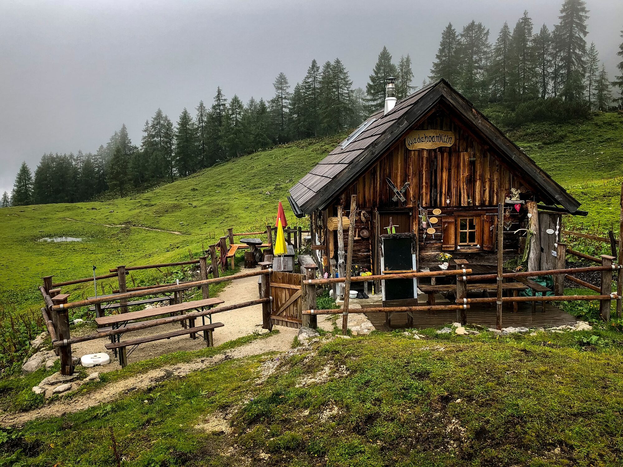
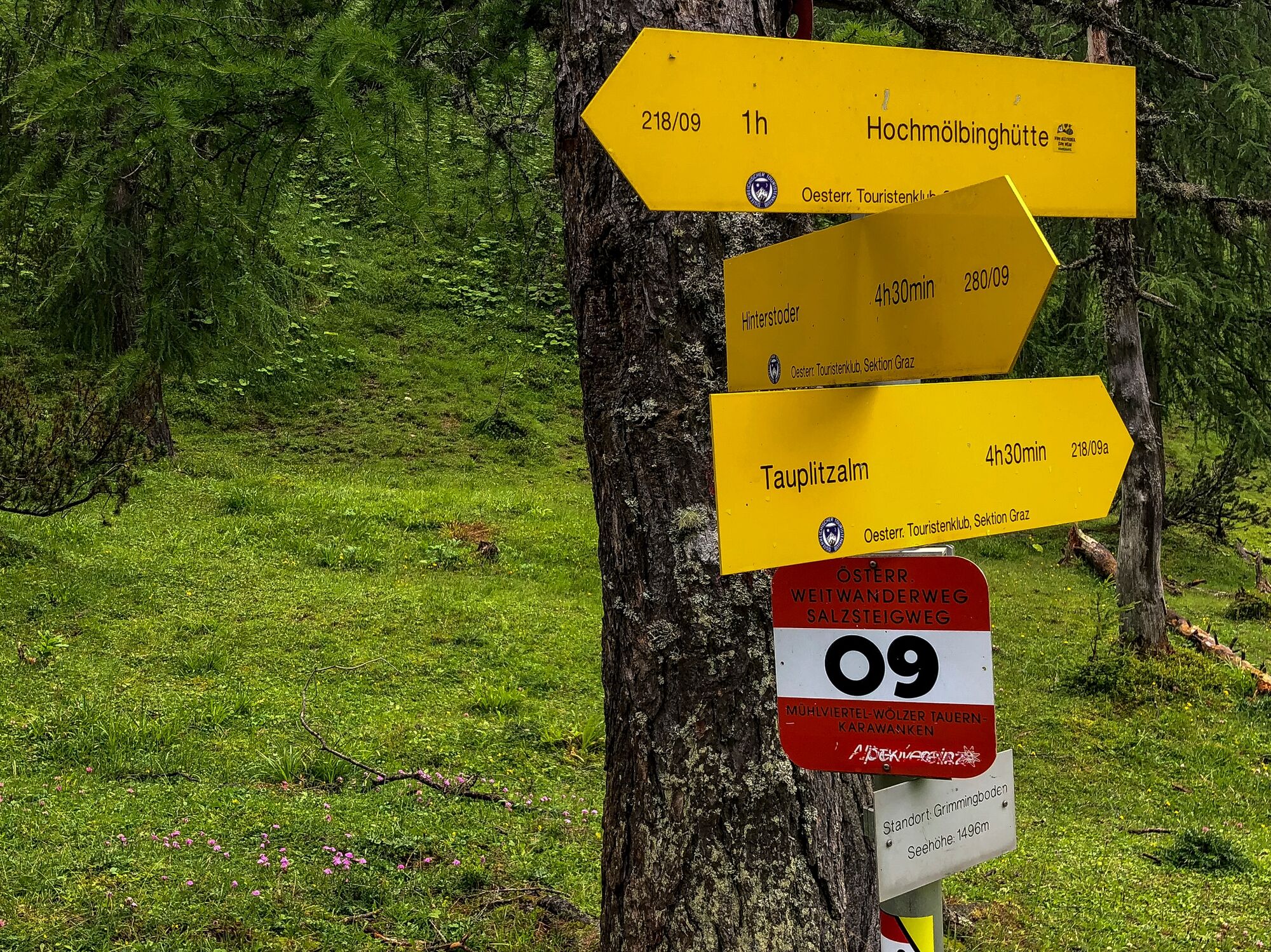
Tauplitzalm0,6 kmAlmrausch Hütte1,9 kmTraweng Hütte1,9 kmInterhüttenalm7,9 kmHochmölbinghütte14,4 km
- Beste Jahreszeit
-
sijveljožutrasvilipsrpkolrujlisstupro
- Höchster Punkt
- 1.759 m
- Zielpunkt
-
Hochmölbinghütte
- Höhenprofil
-

-

-
AutorDie Tour Stage 05 From Glacier to Wine North Route Tauplitzalm - Hochmölbinghütte wird von outdooractive.com bereitgestellt.
GPS Downloads


Opće informacije
Einkehrmöglichkeit
Flora
Fauna
Aussichtsreich
Weitere Touren in den Regionen