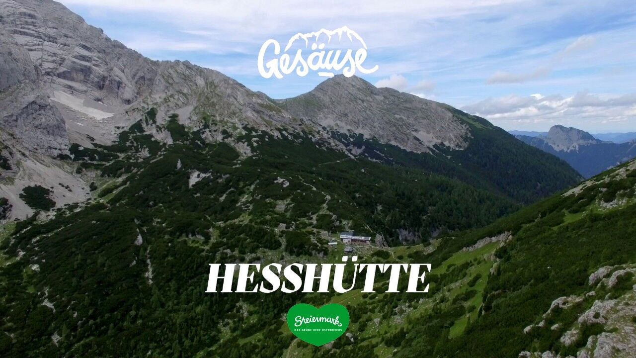
Stage 10 From Glacier to Wine North Route Gesäuse Mödlingerhütte - Heßhütte


© Steiermark Tourismus/Popp-Hackner - Popp-Hackner

© Steiermark - Das Grüne Herz

© (c) Steiermark Tourismus/Manfred Polansky - Manfred Polansky

© Ernst Kren

© TV Gesäuse - Tourismusverband Gesäuse

© © Stefan Leitner

© © Stefan Leitner

© Tourismusverband Gesäuse

- Kratak opis
-
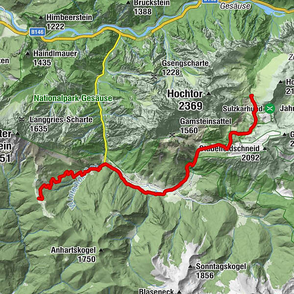
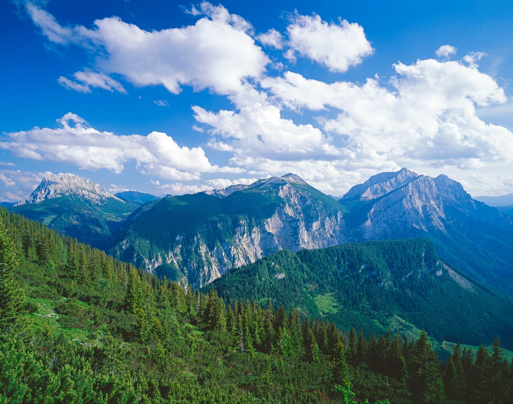
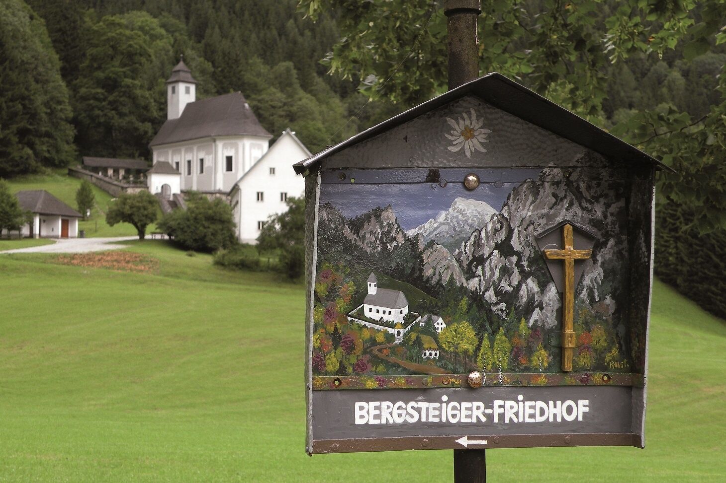
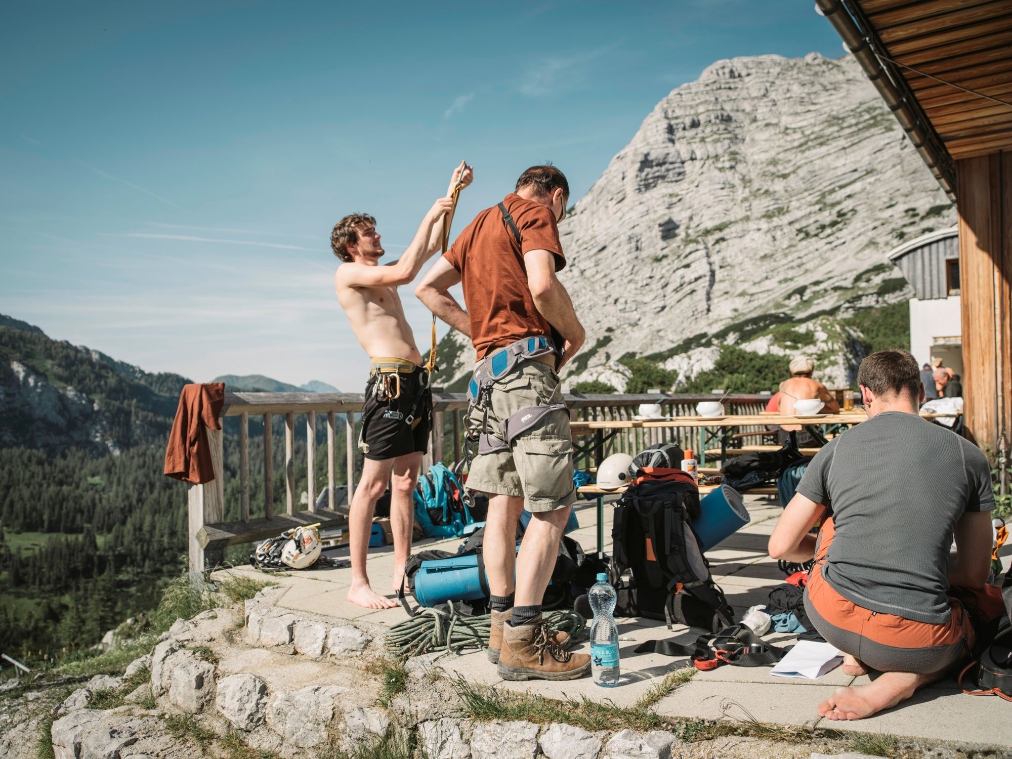
This tour takes us right through the Gesäuse, Austria's youngest national park. From the Mödlinger Hütte at the foot of the Reichenstein, the hiking trail goes via the mountaineering village of Johnsbach to the Heßhütte, probably the most important refuge in the Gesäuse due to its location. Heinrich Heß, who gave the hut its name and is regarded as the person who opened up the Gesäuse mountains, was also one of the initiators of the construction of a hut below the Hochtor peak, as at that time the rush of mountaineers, especially from Vienna, increased so enormously that the existing hay store on the nearby Stadelfeldalm was no longer sufficient as a shelter.
- Teškoća
-
srednje
- Vrednovanje
-
- Wegverlauf
-
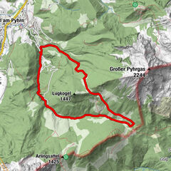
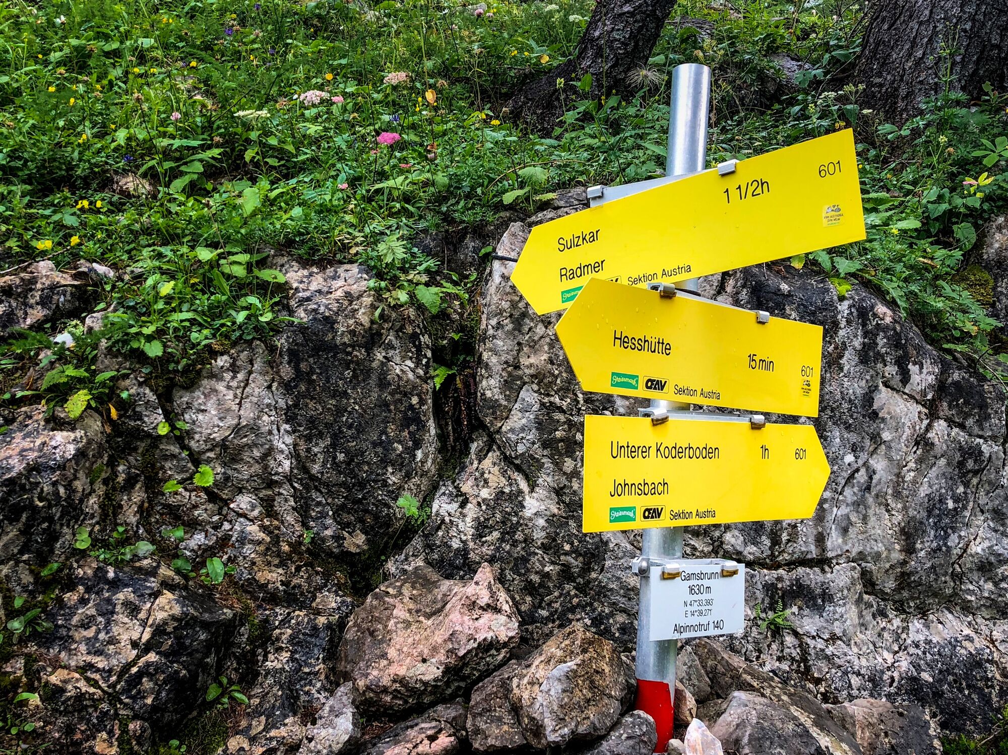
Gasthof Donner4,4 kmJohnsbach (853 m)4,4 kmKölblwirt7,2 kmWolfbauer Wasserfall8,7 kmGamsbrunnen12,6 kmHesshütte13,3 km
- Beste Jahreszeit
-
sijveljožutrasvilipsrpkolrujlisstupro
- Höchster Punkt
- 1.689 m
- Zielpunkt
-
Heßhütte
- Höhenprofil
-

-

-
AutorDie Tour Stage 10 From Glacier to Wine North Route Gesäuse Mödlingerhütte - Heßhütte wird von outdooractive.com bereitgestellt.
GPS Downloads


Opće informacije
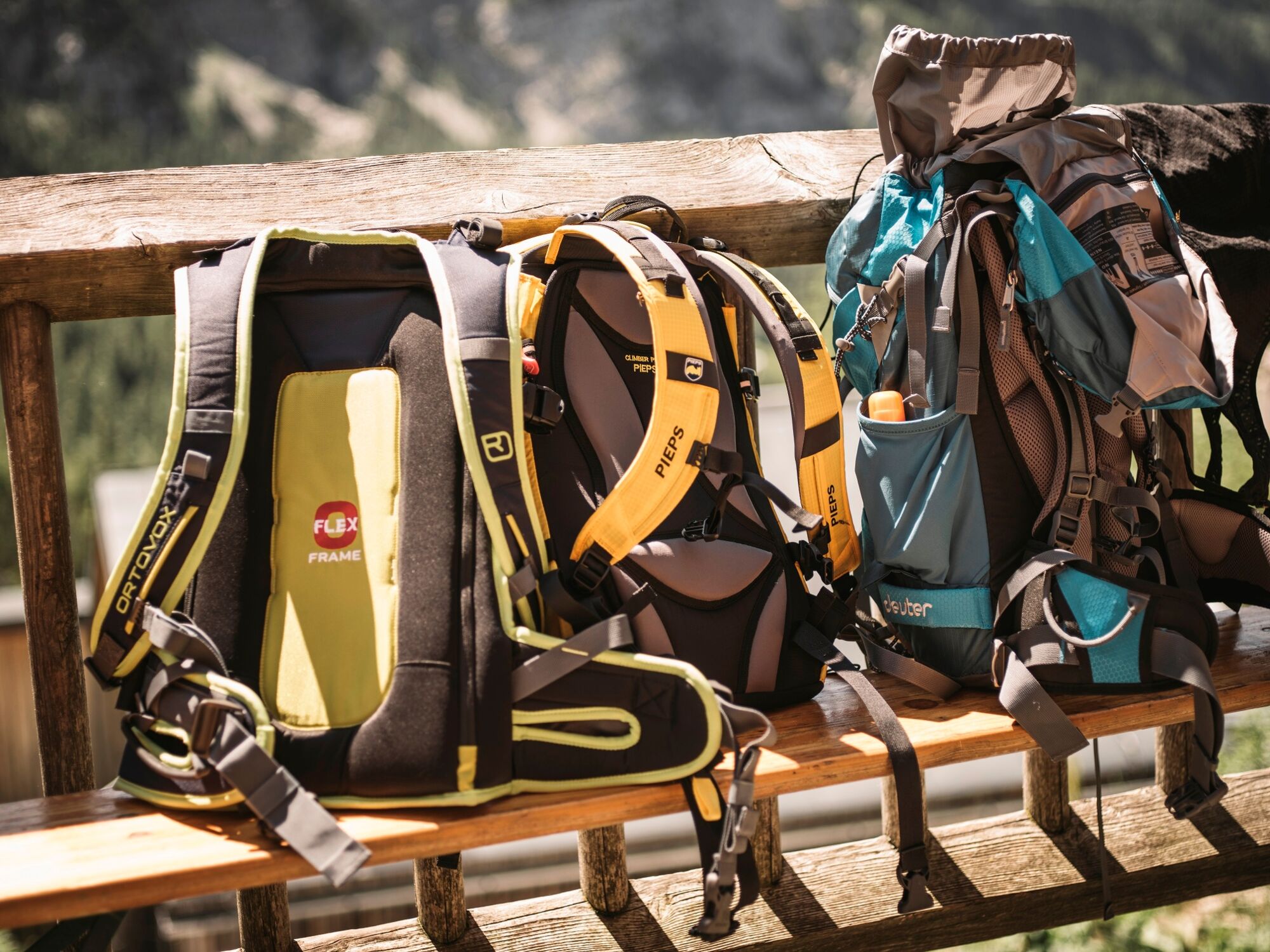
Einkehrmöglichkeit
Kulturell/Historisch
Flora
Fauna
Aussichtsreich