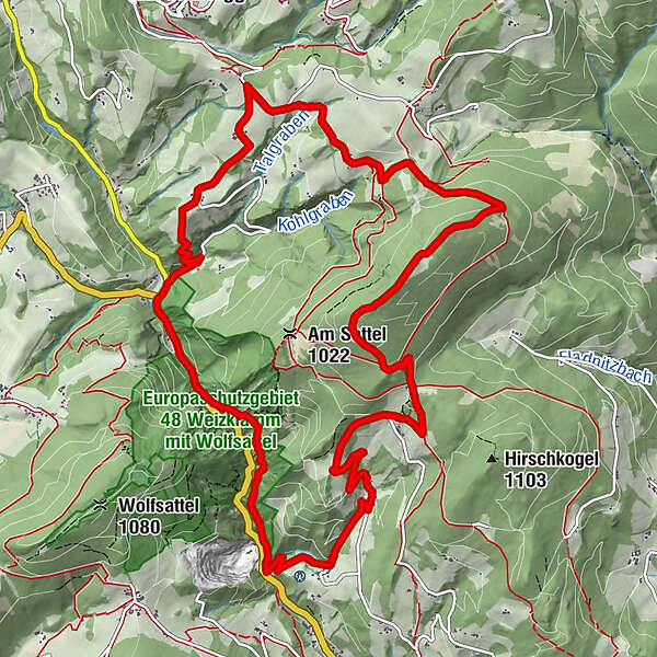
Jägersteig circular hike over the Patschagipfel (Weizklamm)


© Oststeiermark Tourismus - Lara Fani

© Oststeiermark Tourismus - Lara Fani

© Oststeiermark Tourismus - Lara Fani

© Oststeiermark Tourismus - Lara Fani

© Oststeiermark Tourismus - Lara Fani

© Oststeiermark Tourismus - Lara Fani

© Oststeiermark Tourismus - Lara Fani

© Oststeiermark Tourismus - Lara Fani

© Oststeiermark Tourismus - Lara Fani

© Oststeiermark Tourismus - Lara Fani
- Kratak opis
-
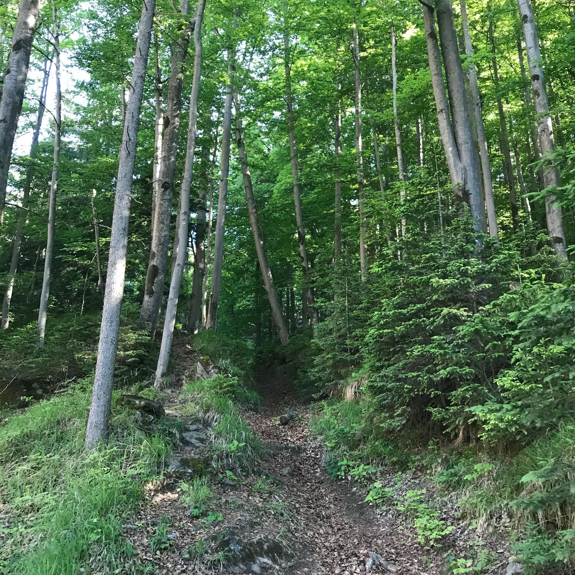
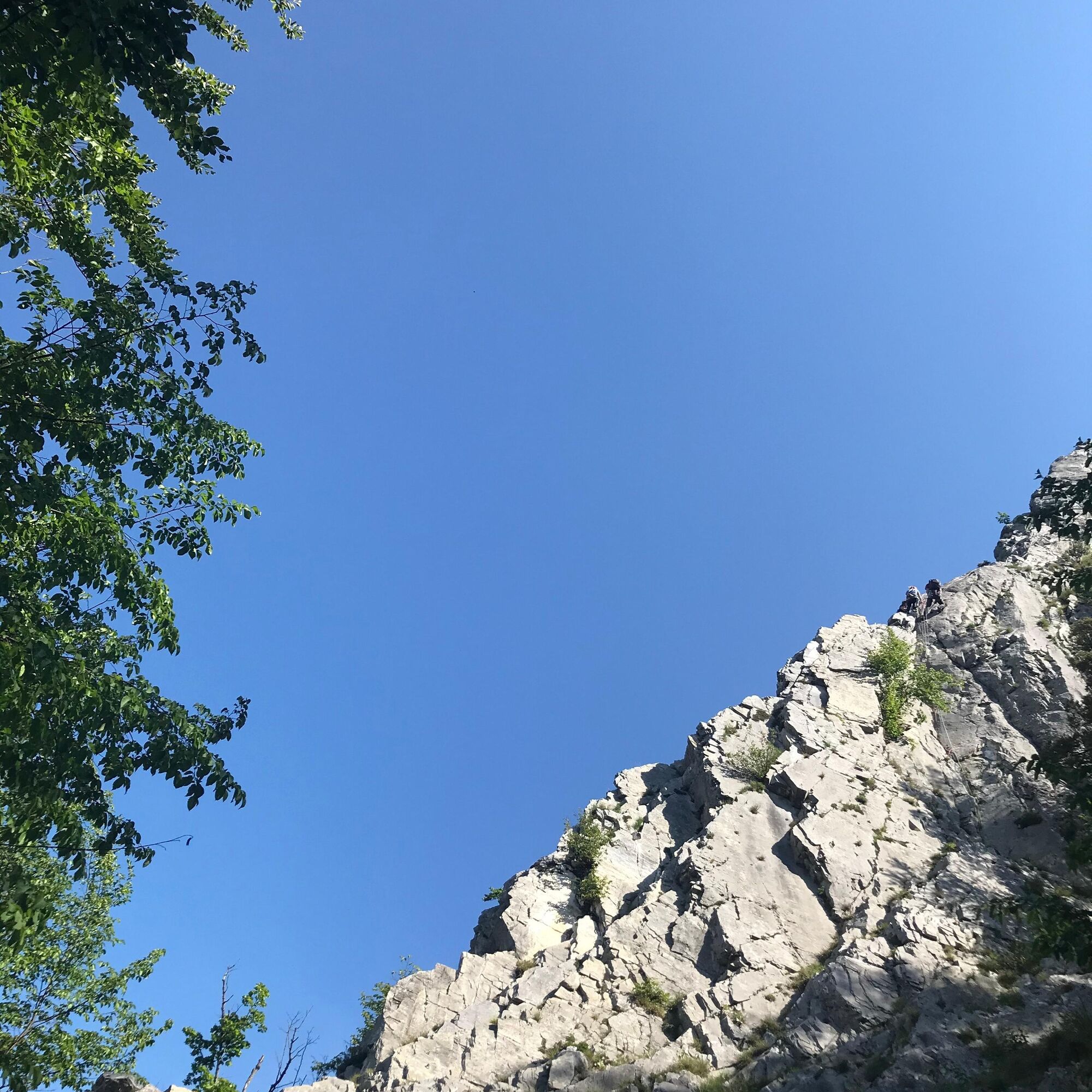
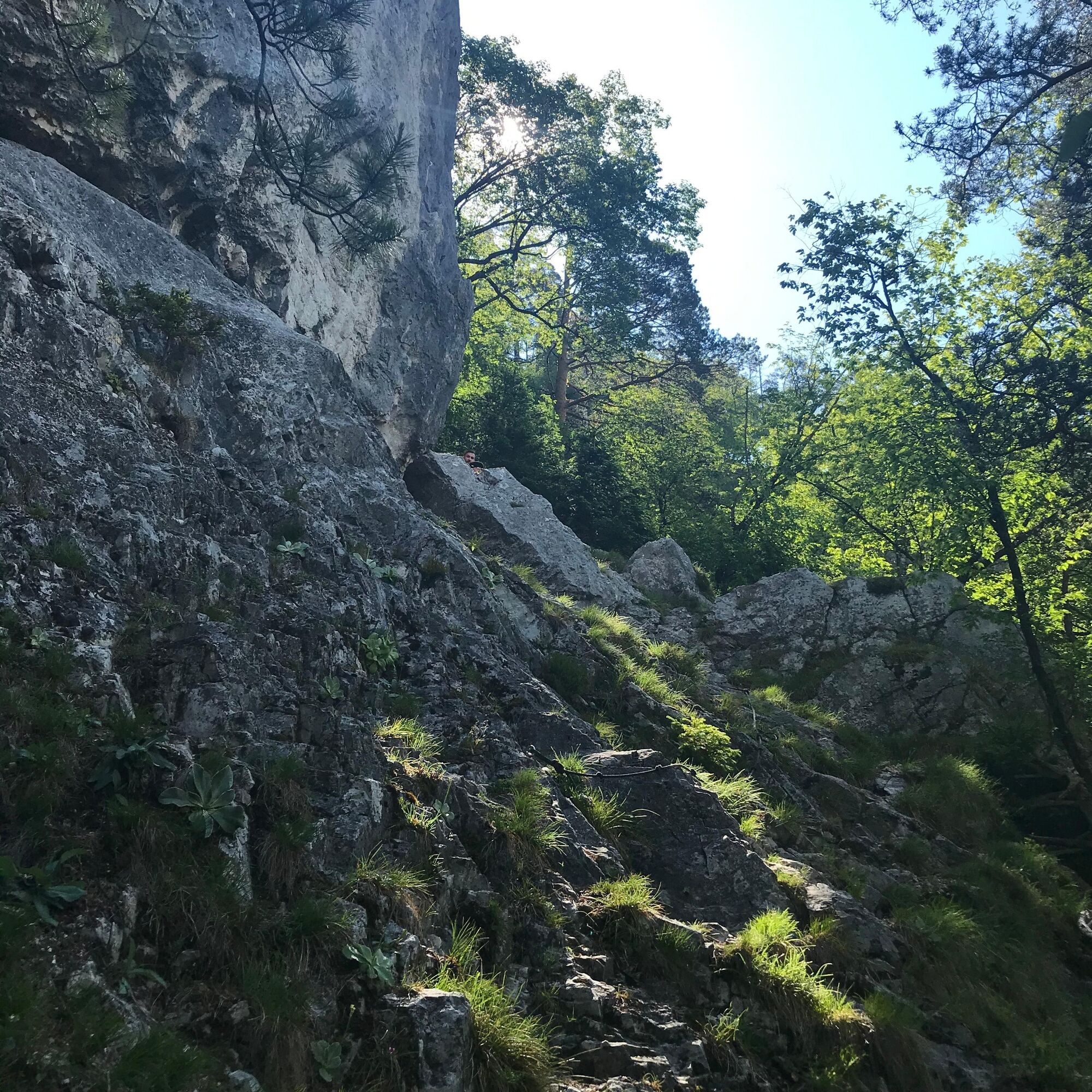
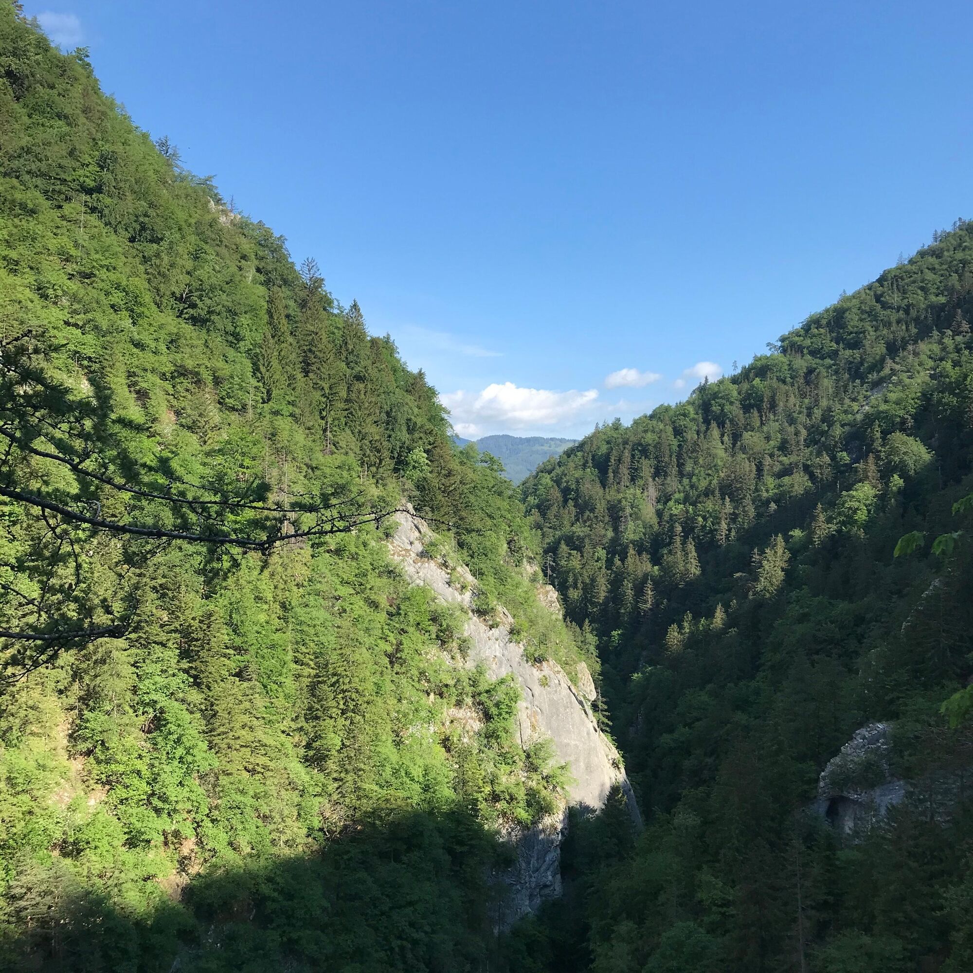
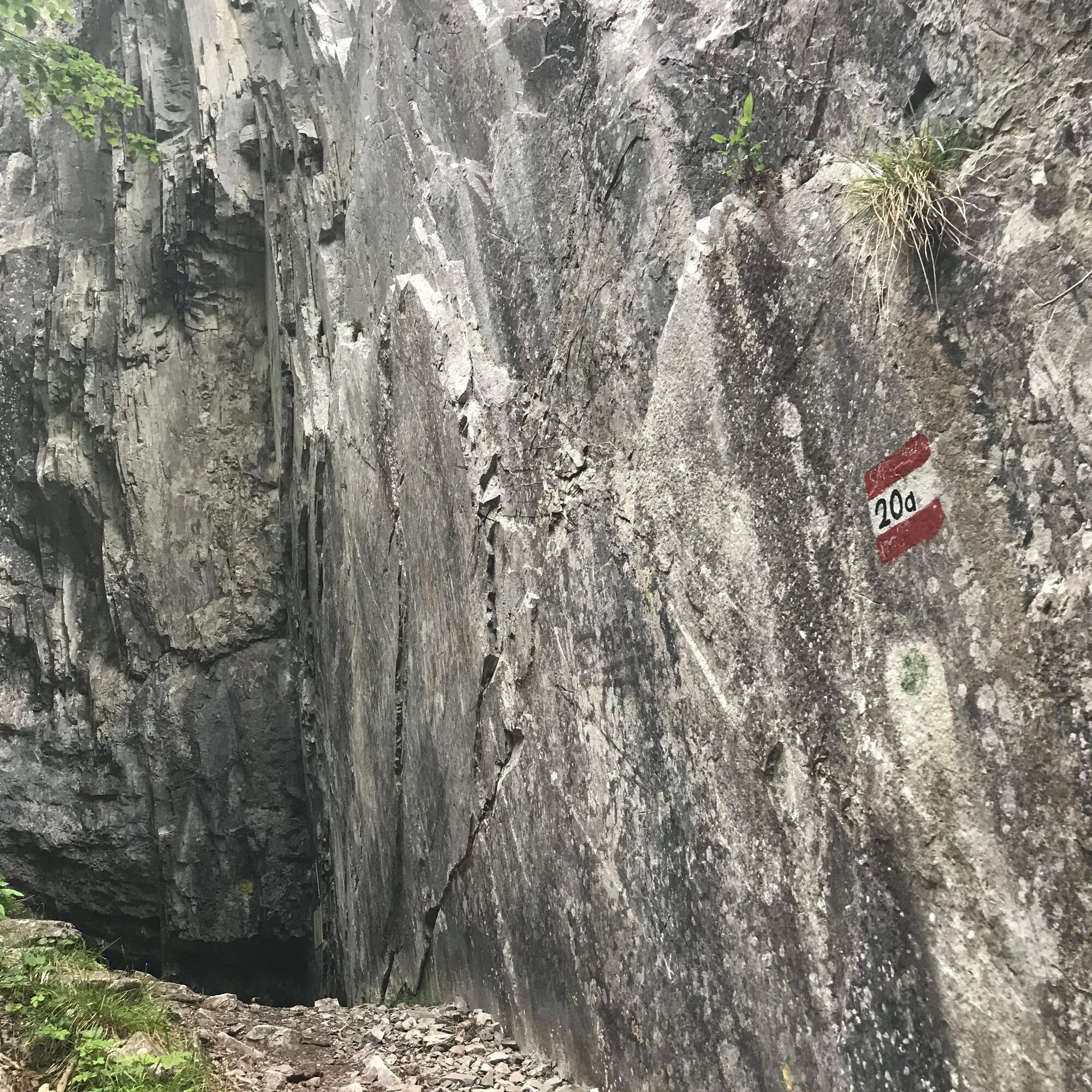
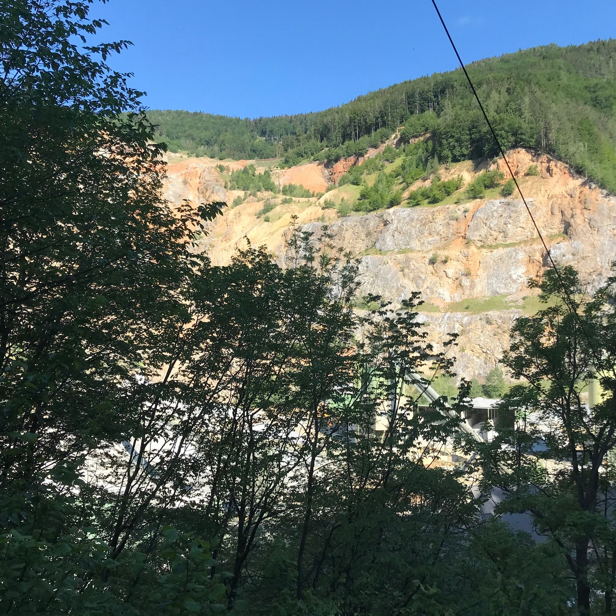
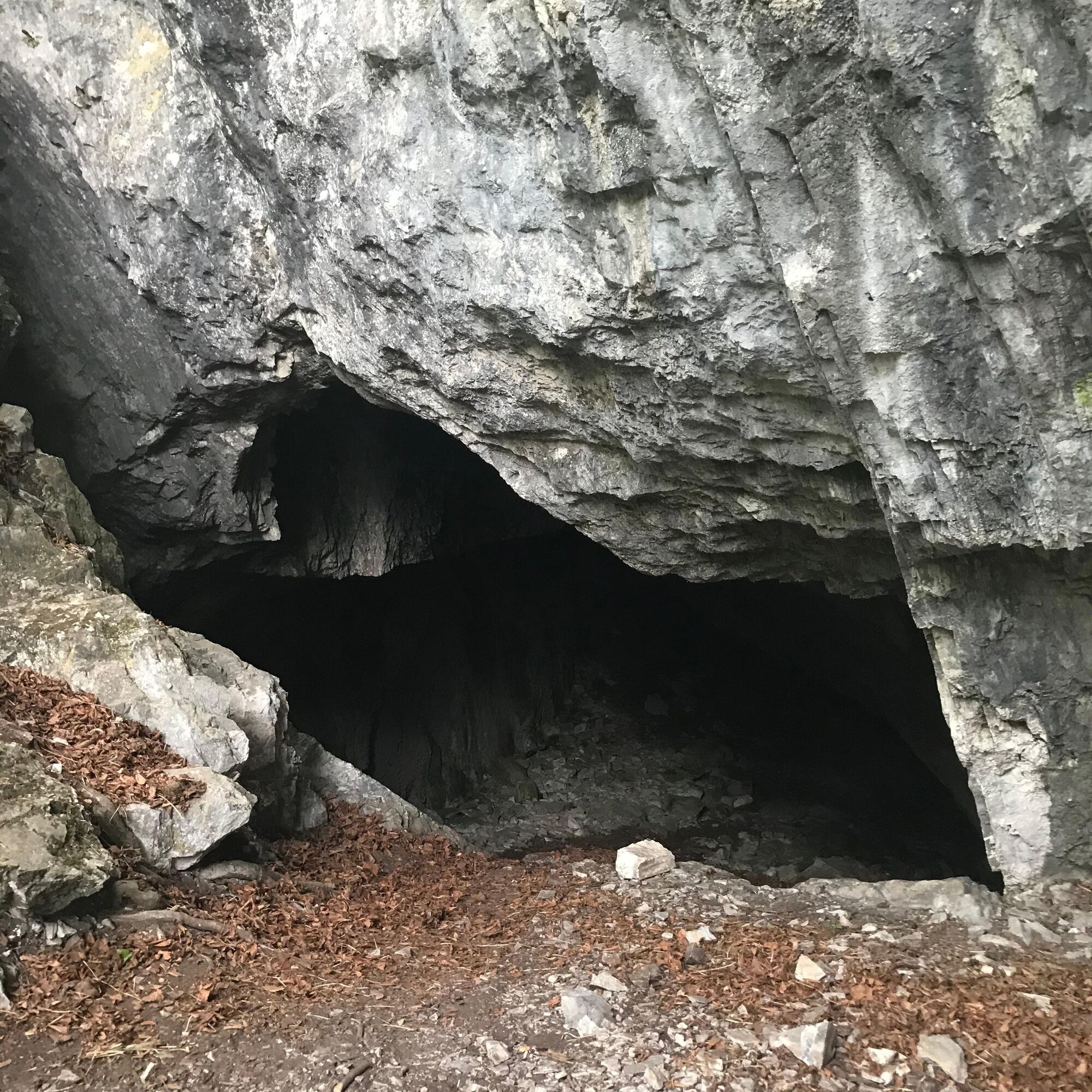
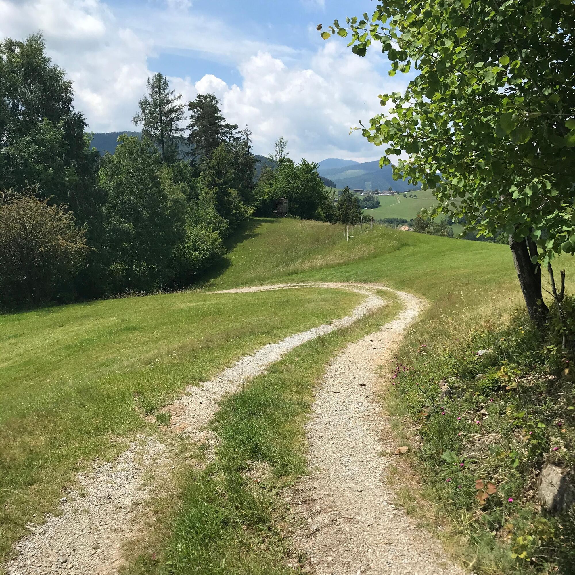
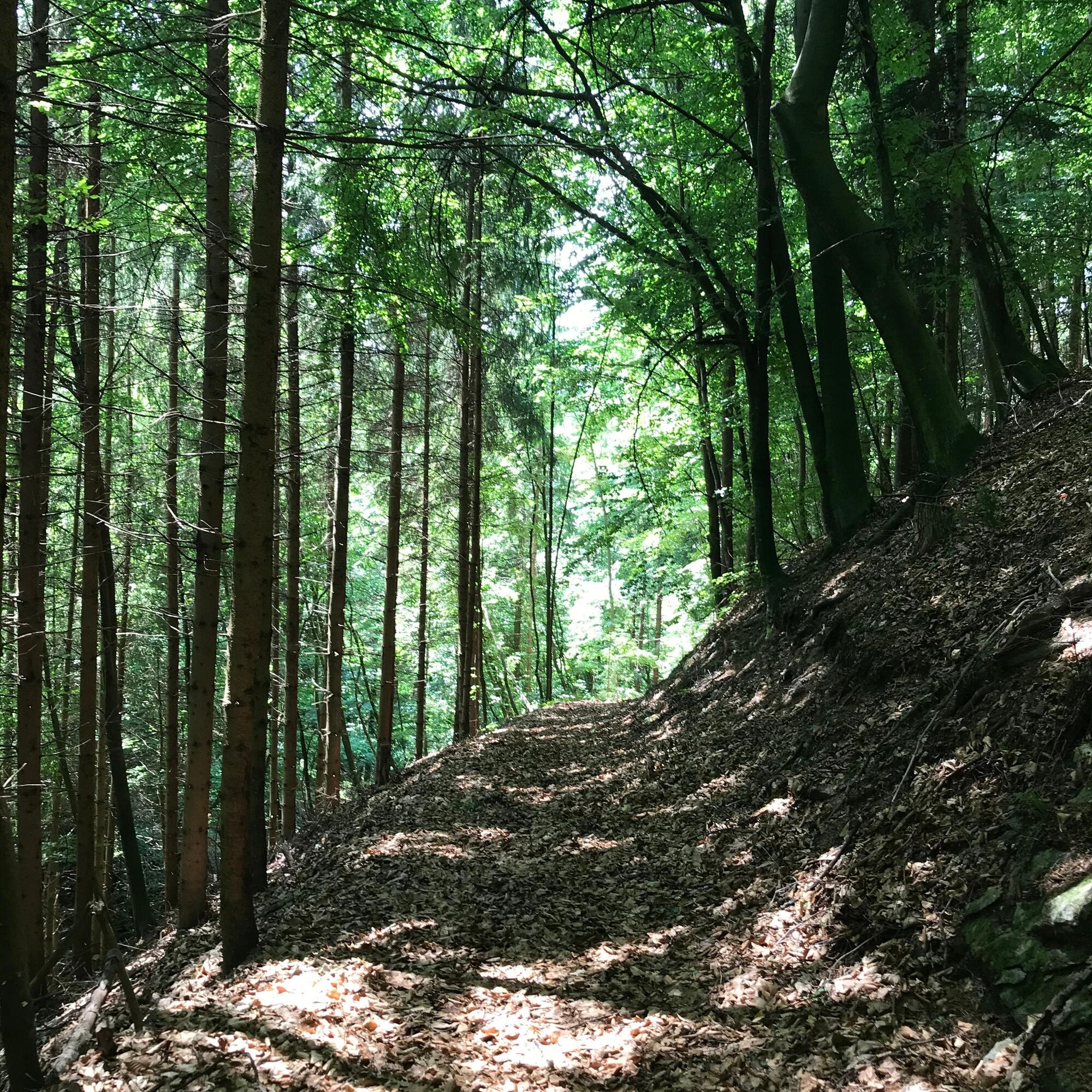
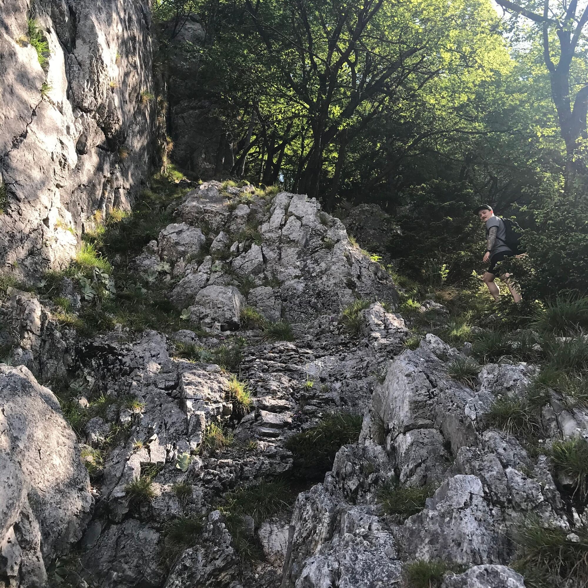
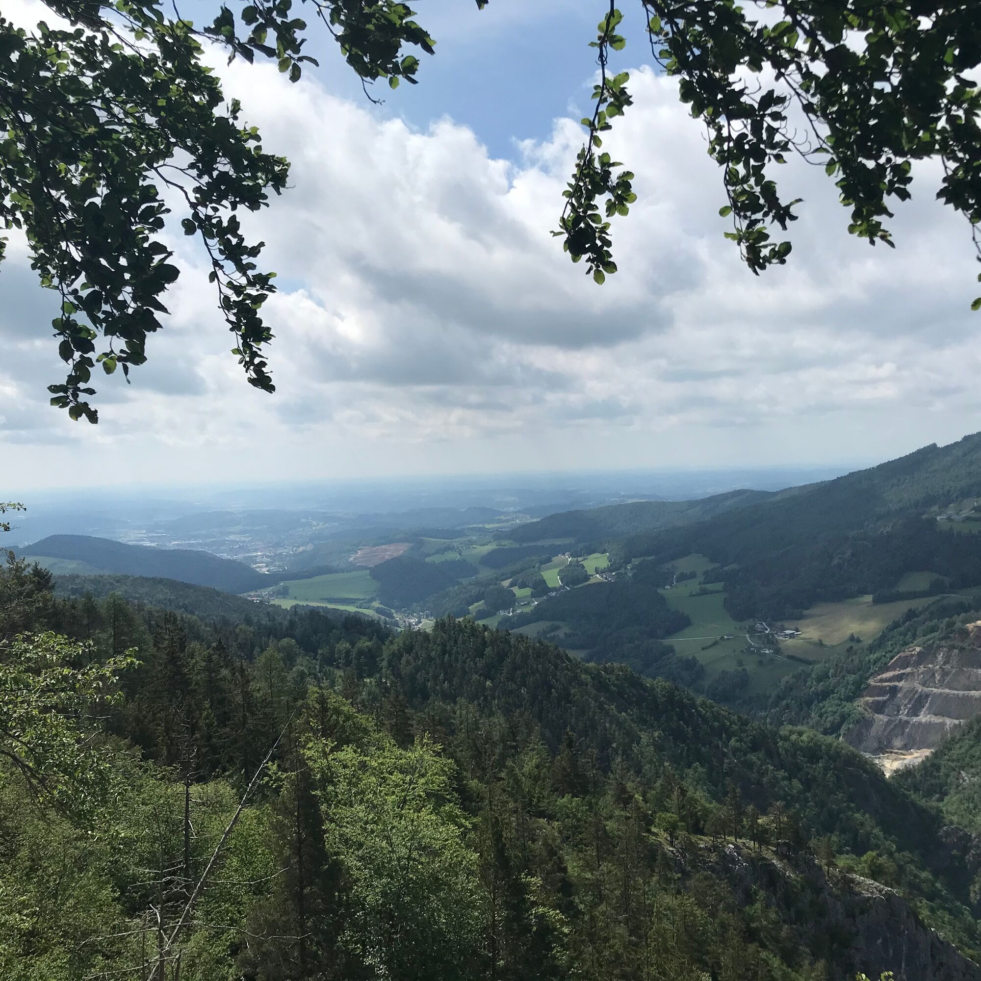
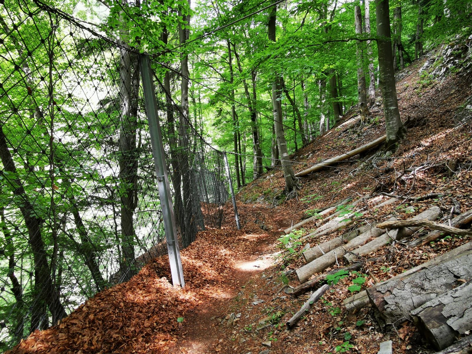
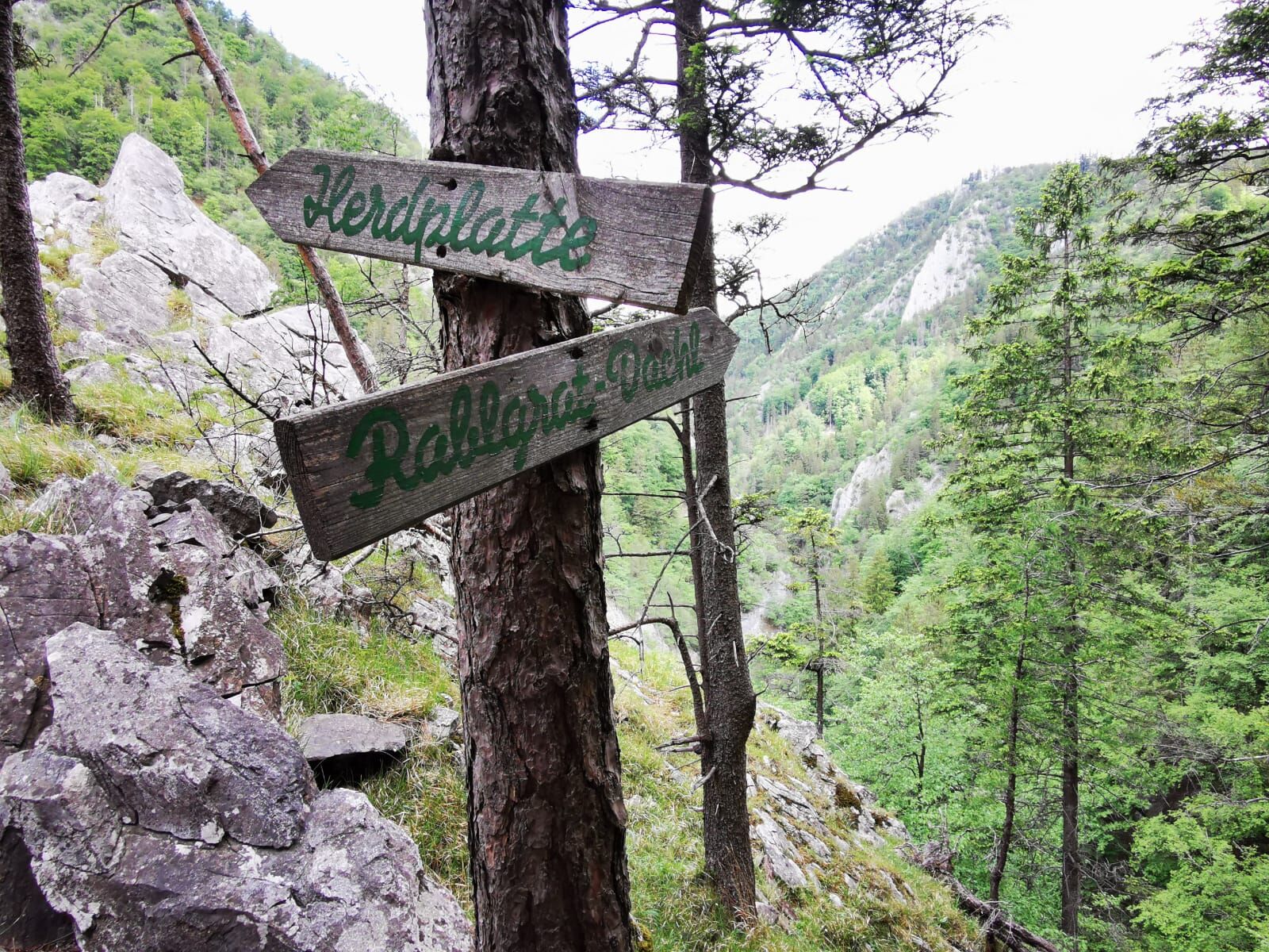
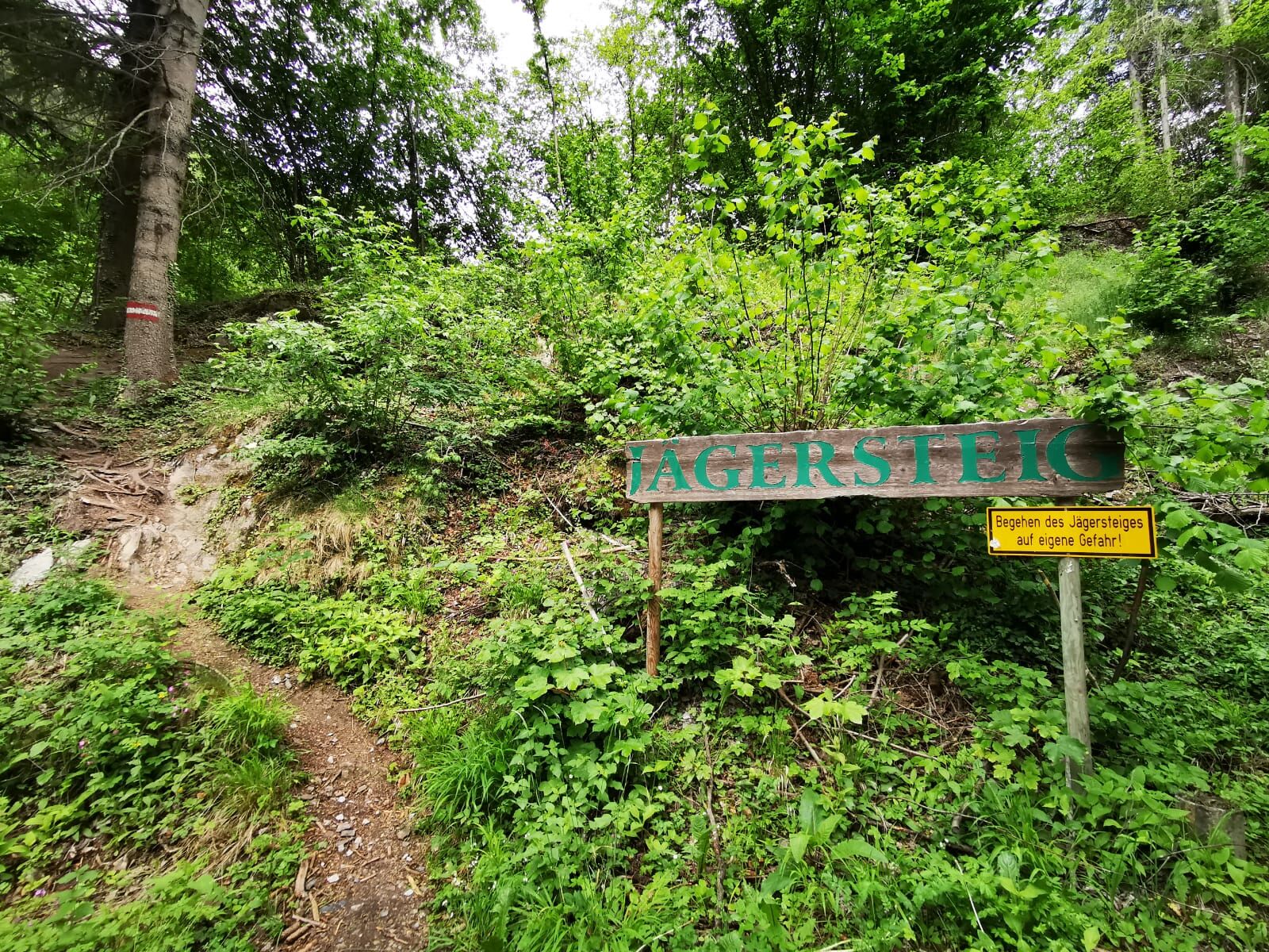
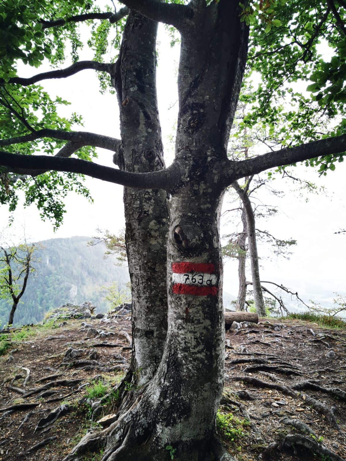
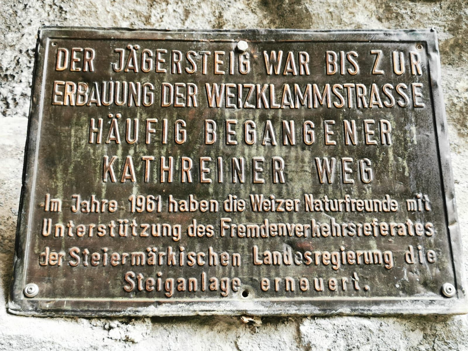
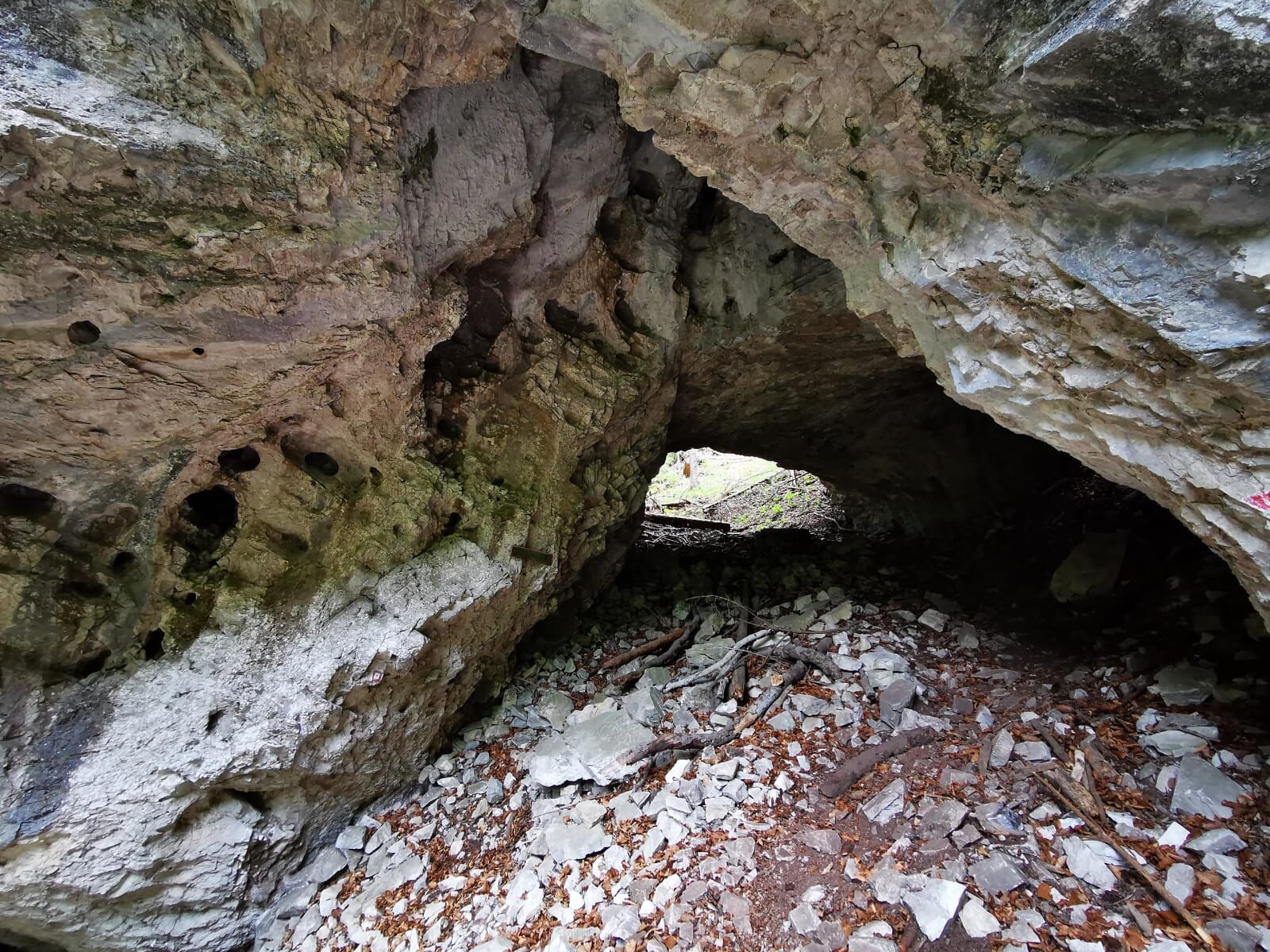
The Jägersteig circular hike leads along the Jägersteig above the Weizklamm gorge, with a subsequent ascent via the Patschasattel to the Patscha summit.
- Teškoća
-
teška
- Vrednovanje
-
- Wegverlauf
-
Hribarloch1,4 kmWagenhütte1,7 kmGössental4,8 kmPatscha Gipfel (1.271 m)8,5 kmGreith10,9 kmKogl11,9 kmRiegl13,1 km
- Beste Jahreszeit
-
sijveljožutrasvilipsrpkolrujlisstupro
- Höchster Punkt
- 1.270 m
- Zielpunkt
-
Parking place Jägersteig Naas
- Höhenprofil
-

-

-
AutorDie Tour Jägersteig circular hike over the Patschagipfel (Weizklamm) wird von outdooractive.com bereitgestellt.
GPS Downloads


Opće informacije
Geheimtipp
Aussichtsreich
Weitere Touren in den Regionen
-
Hochsteiermark
4084
-
Naturpark Almenland
1767
-
St. Kathrein am Offenegg
477


