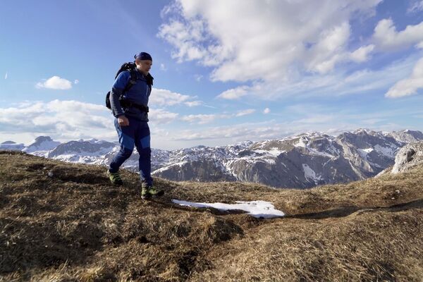
© TV Hochsteiermark - Andreas Steininger

© TV Hochsteiermark - Katrin Fleck

© TV Hochsteiermark - Katrin Fleck

- Kratak opis
-
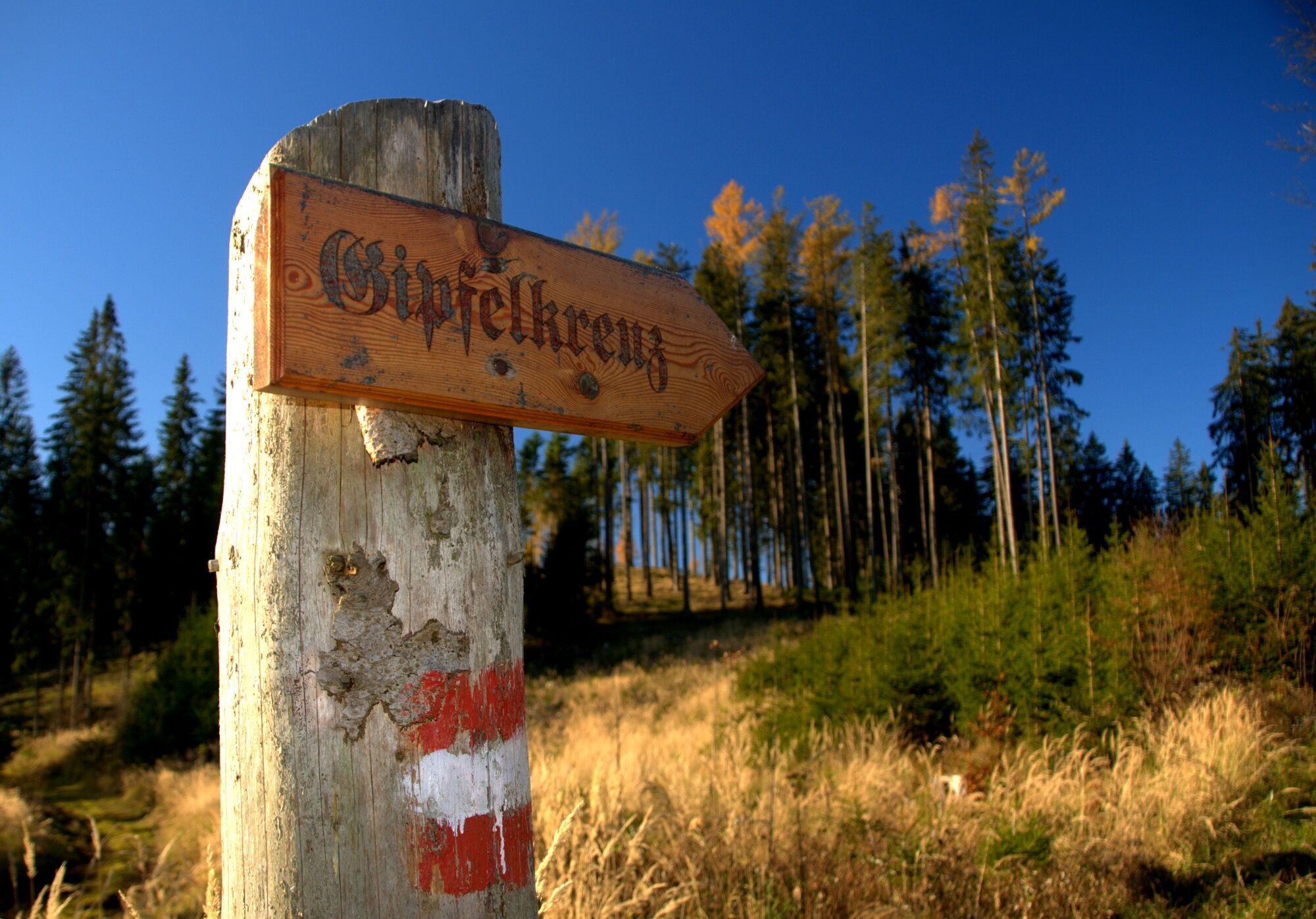
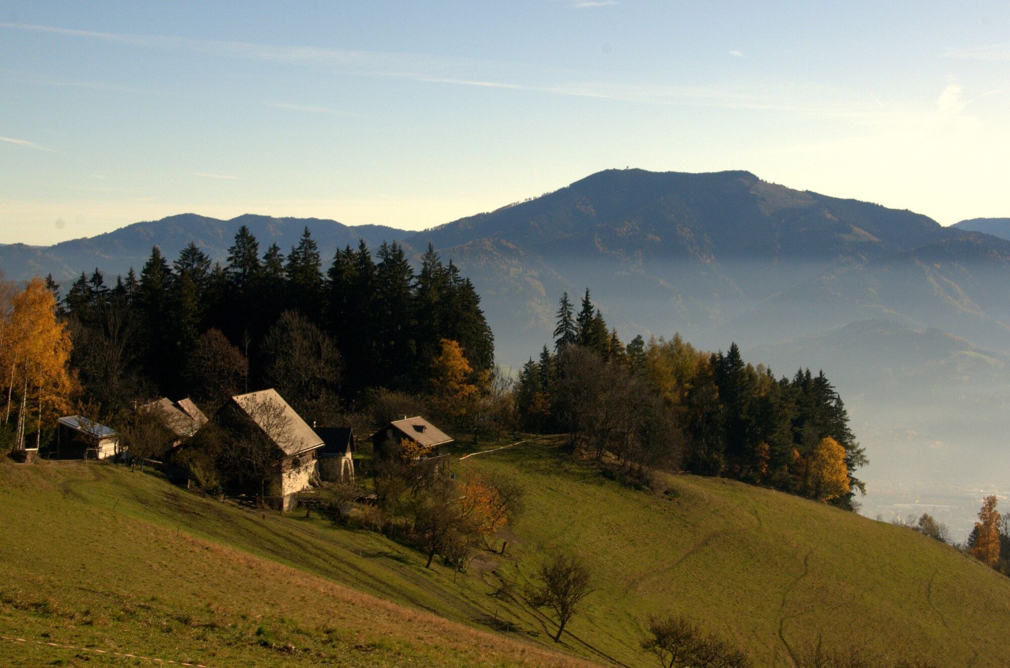
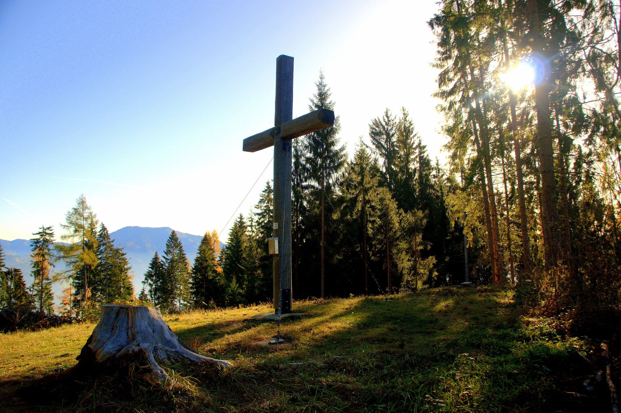
One of the three local mountains of Bruck an der Mur - the Madereck with the Almgasthaus Puster, located just below the summit. An Eldorado for hikers, mountain bikers and nature lovers. Easily accessible and even walkable from the city center as a leisurely hike.
- Teškoća
-
srednje
- Vrednovanje
-
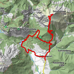
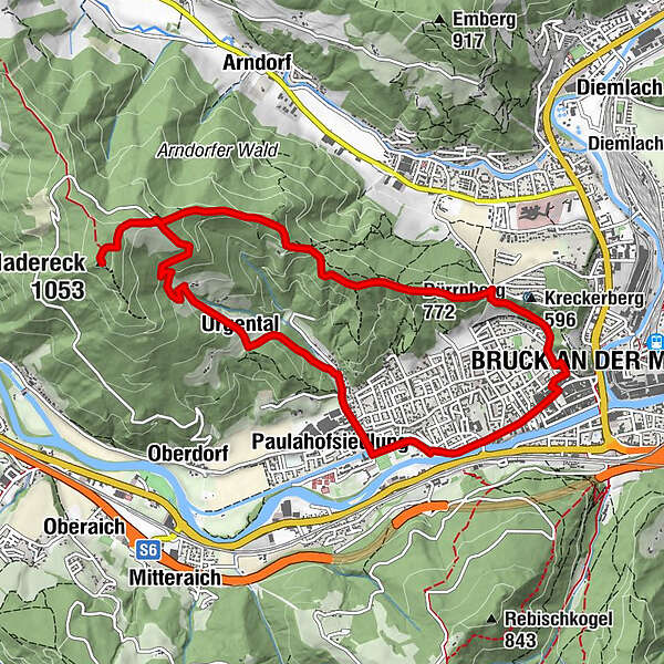
- Wegverlauf
-
Stadtpfarrkirche Mariä Geburt0,1 kmBruck an der Mur0,3 kmDürrnberg (772 m)1,9 kmMadereck (1.053 m)5,0 kmGasthaus Madereck5,6 kmUrgental7,8 kmPaulahofsiedlung9,2 kmBruck an der Mur11,1 km
- Beste Jahreszeit
-
sijveljožutrasvilipsrpkolrujlisstupro
- Höchster Punkt
- 1.052 m
- Zielpunkt
-
Hauptplatz in Bruck an der Mur, Tourismusinformation im Kornmesserhaus
- Höhenprofil
-

-
-
AutorDie Tour Wanderung von Bruck an der Mur auf das Madereck wird von outdooractive.com bereitgestellt.
GPS Downloads


Opće informacije
Einkehrmöglichkeit
Kulturell/Historisch
Aussichtsreich
Weitere Touren in den Regionen
-
Erzberg Leoben
2529
-
Bruckmur-Kapfenberg
1500
-
Bruck an der Mur
338