

© Tourismusverband Region Murau - Tom Lamm

© Ewald Siebenhofer

- Kratak opis
-
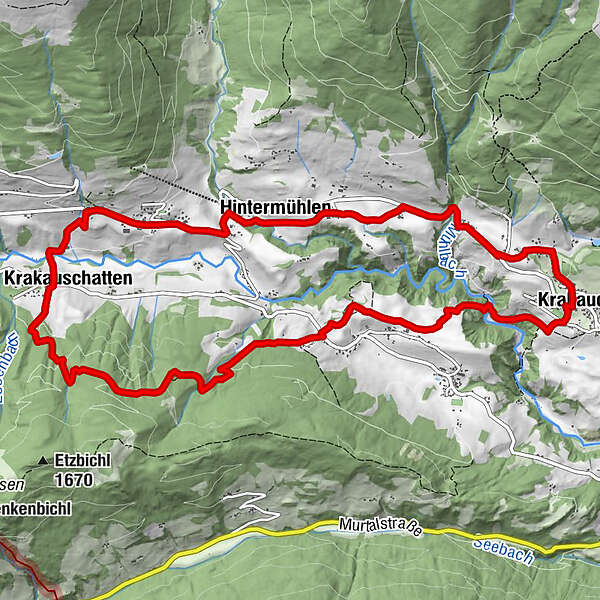
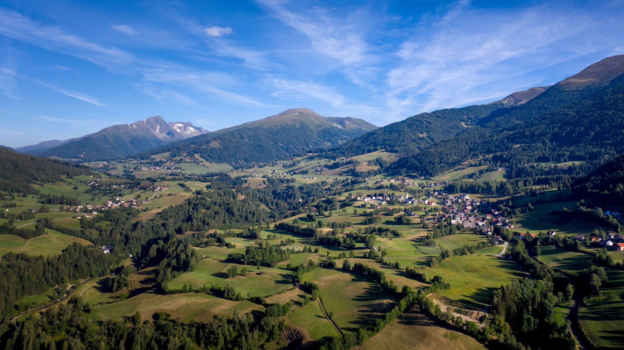
The circular trail leads through the scenic, beautiful Krakow Valley and offers one or the other panoramic view!
- Teškoća
-
srednje
- Vrednovanje
-
- Wegverlauf
-
Pfarrkirche hl. OswaldKrakaudorf0,0 kmOberetrach2,0 kmKapelle2,5 kmKrakauschatten7,1 kmPfarrkirche hl. Ulrich8,0 kmRestaurant Stigenwirth8,1 kmKrakauebene8,6 kmWegkapelle9,0 kmHintermühlen9,9 kmScharnigl12,8 kmKrakaudorf13,4 kmPfarrkirche hl. Oswald13,5 km
- Beste Jahreszeit
-
sijveljožutrasvilipsrpkolrujlisstupro
- Höchster Punkt
- 1.430 m
- Zielpunkt
-
Krakaudorf
- Höhenprofil
-


- Autor
-
Die Tour KrakauValley - circular hiking trail wird von outdooractive.com bereitgestellt.
GPS Downloads


Opće informacije
Einkehrmöglichkeit
Kulturell/Historisch
Aussichtsreich
Weitere Touren in den Regionen


