© Ausseerland - Tom Lamm

© t - Tauplitzer Fremdenverkehrsbetriebee

© Tauplitzalm - Tauplitzer Fremdenverkehrsbetriebee

© Tauplitzalm - Tauplitzer Fremdenverkehrsbetriebee

© Ausseerland - Tom Lamm

- Kratak opis
-
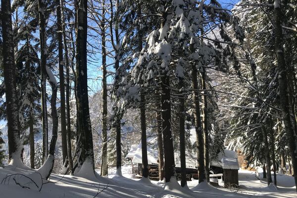
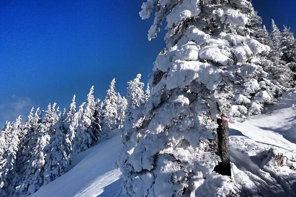
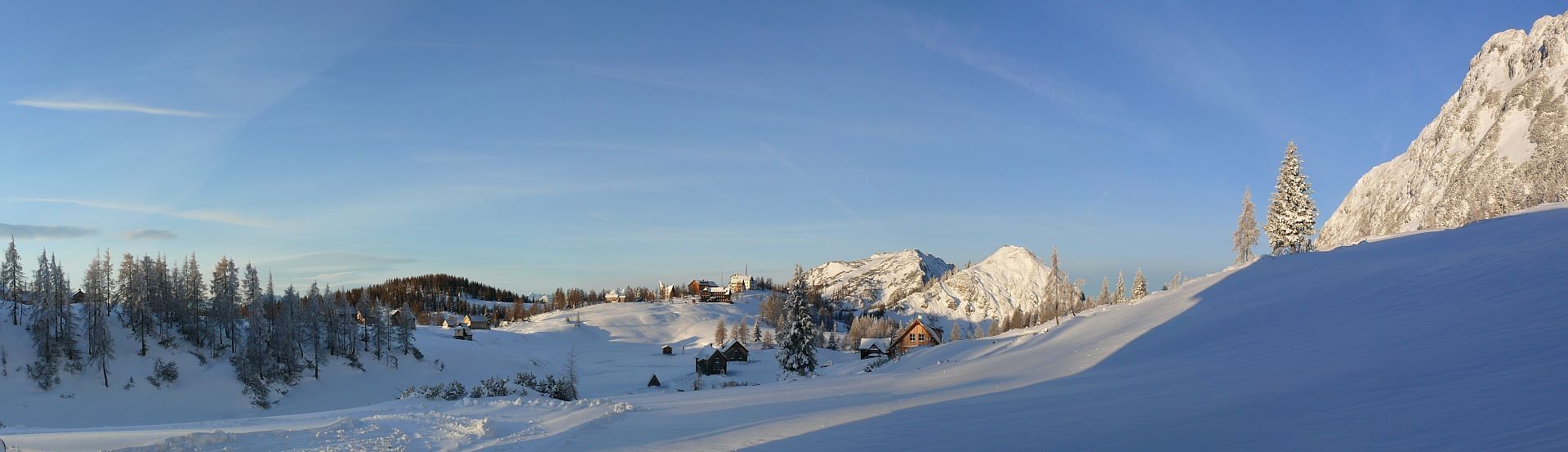
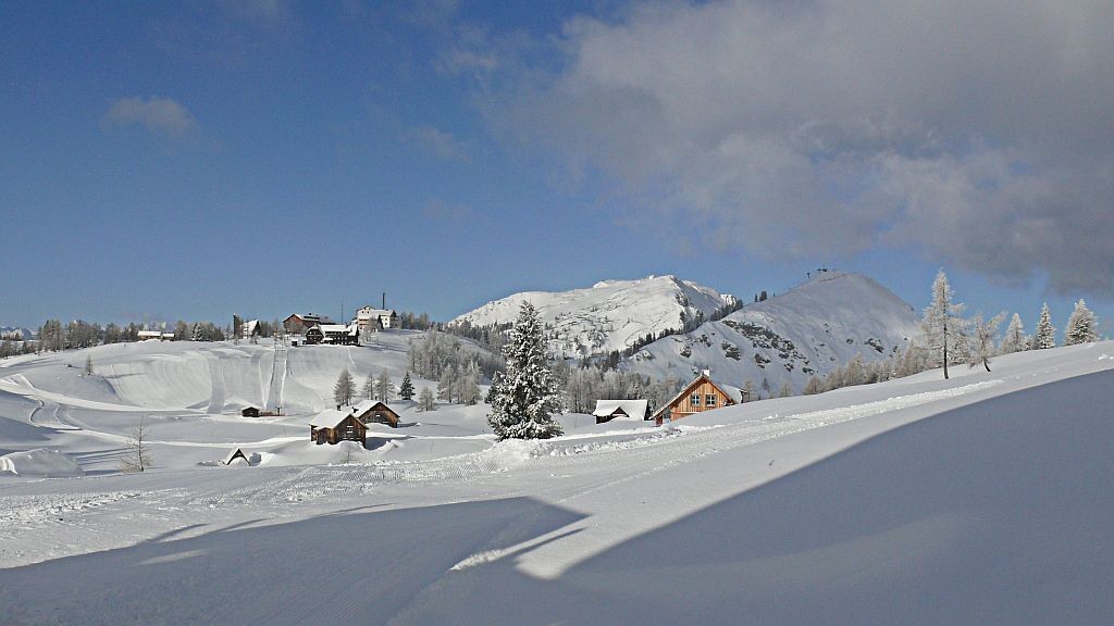
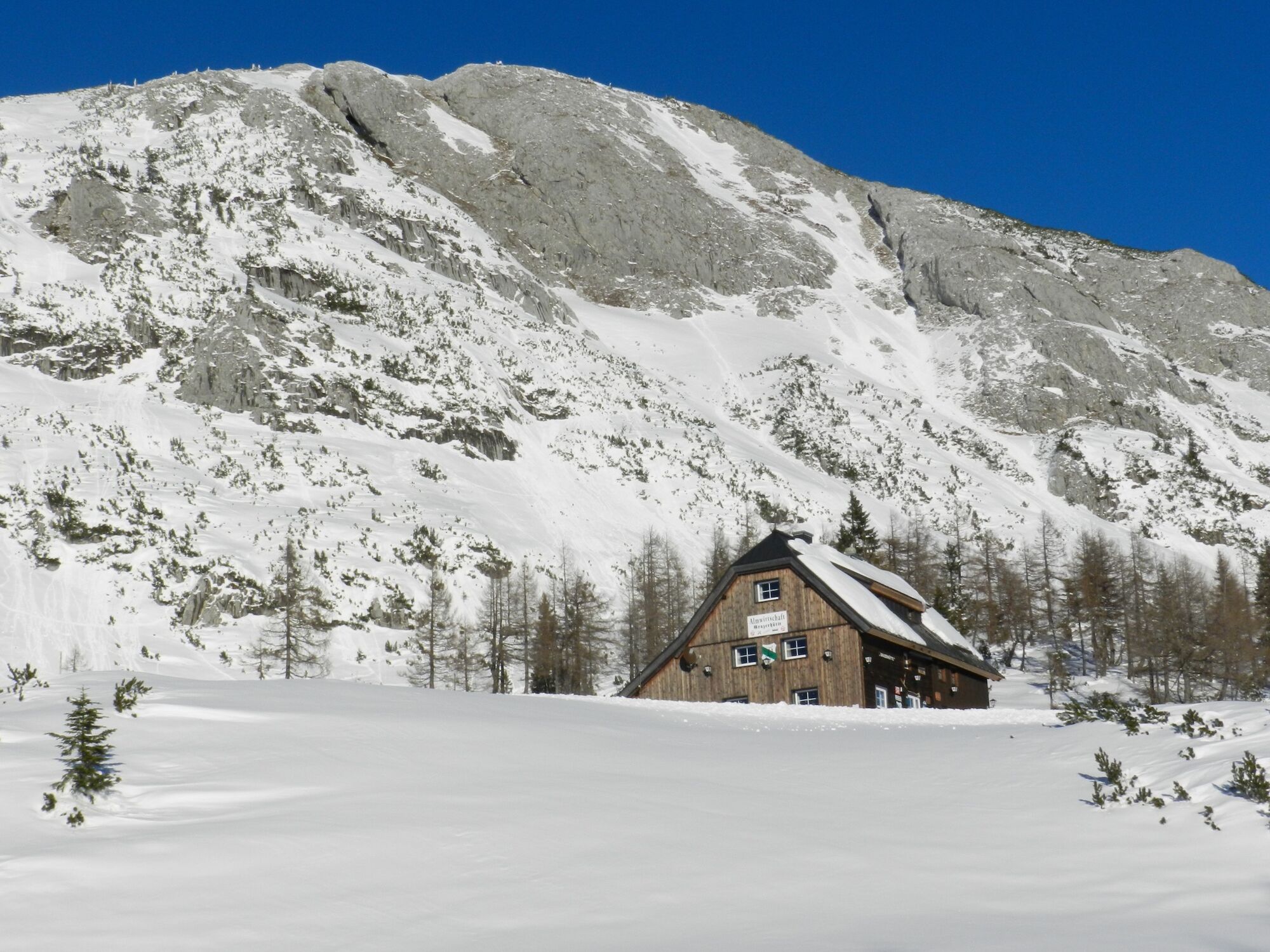
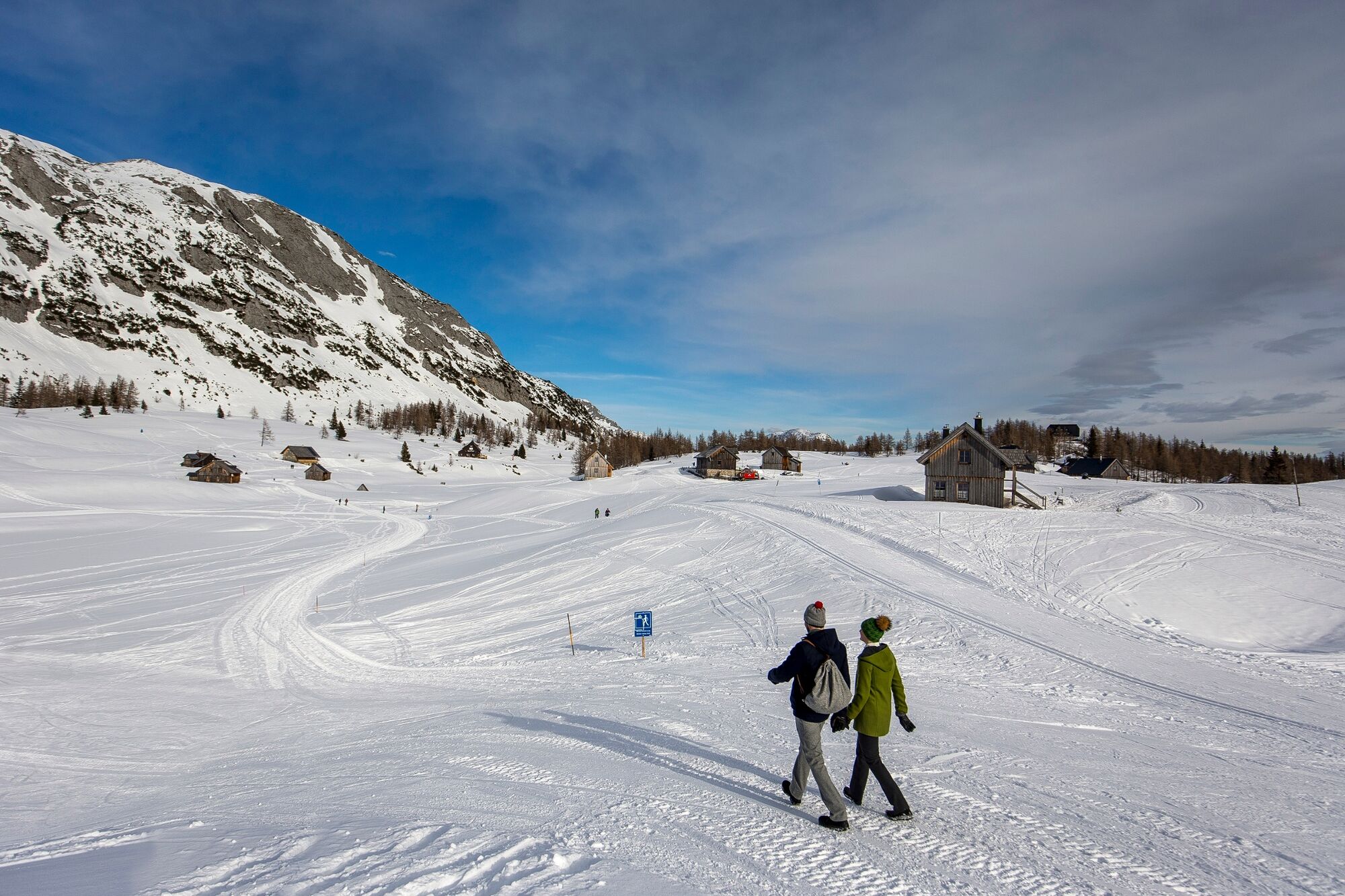
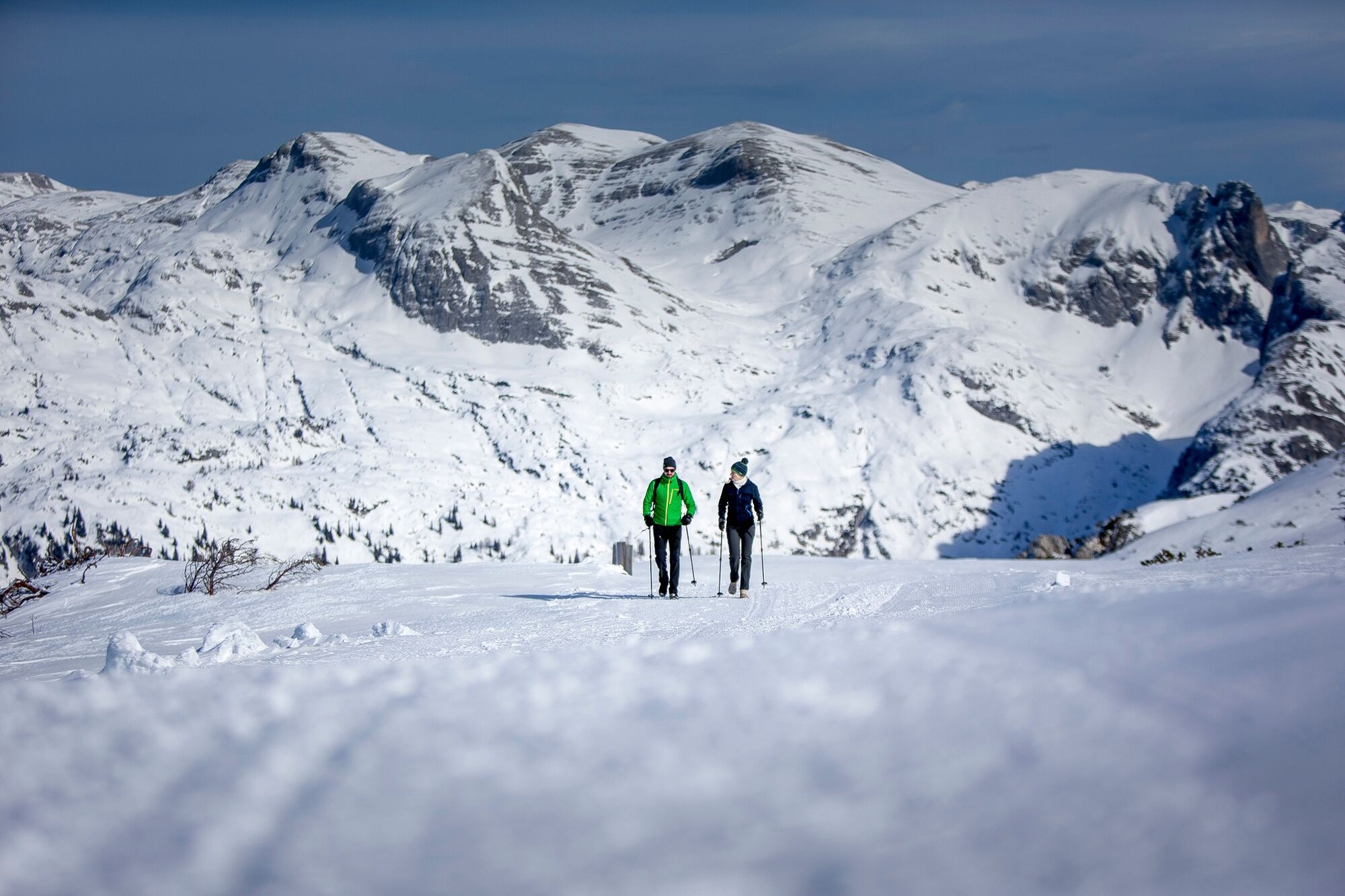
A hike across the wintry high plateau of the Tauplitzalm with beautiful views and cozy refreshment stops.
- Teškoća
-
srednje
- Vrednovanje
-
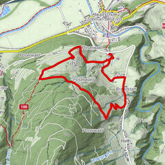
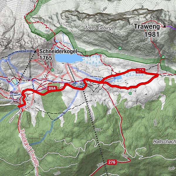
- Wegverlauf
-
Tauplitzalm2,1 kmGrazer Hütte2,8 km
- Beste Jahreszeit
-
kolrujlisstuprosijveljožutrasvilipsrp
- Höchster Punkt
- 1.655 m
- Zielpunkt
-
is the starting point
- Höhenprofil
-

- Autor
-
Die Tour Winterhike on Tauplitzalm wird von outdooractive.com bereitgestellt.
GPS Downloads


Opće informacije
Einkehrmöglichkeit
Aussichtsreich
Weitere Touren in den Regionen