- Kratak opis
-
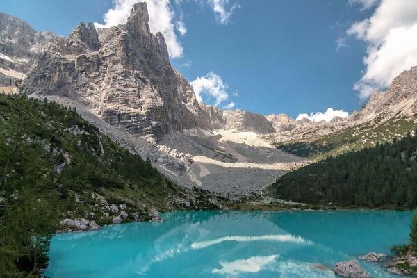
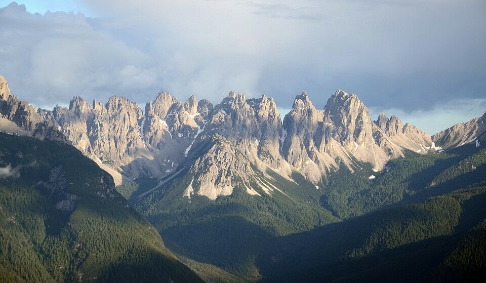
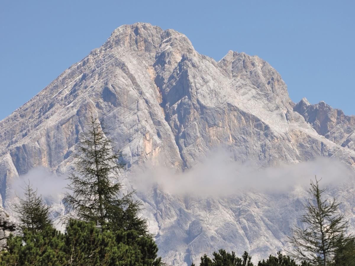
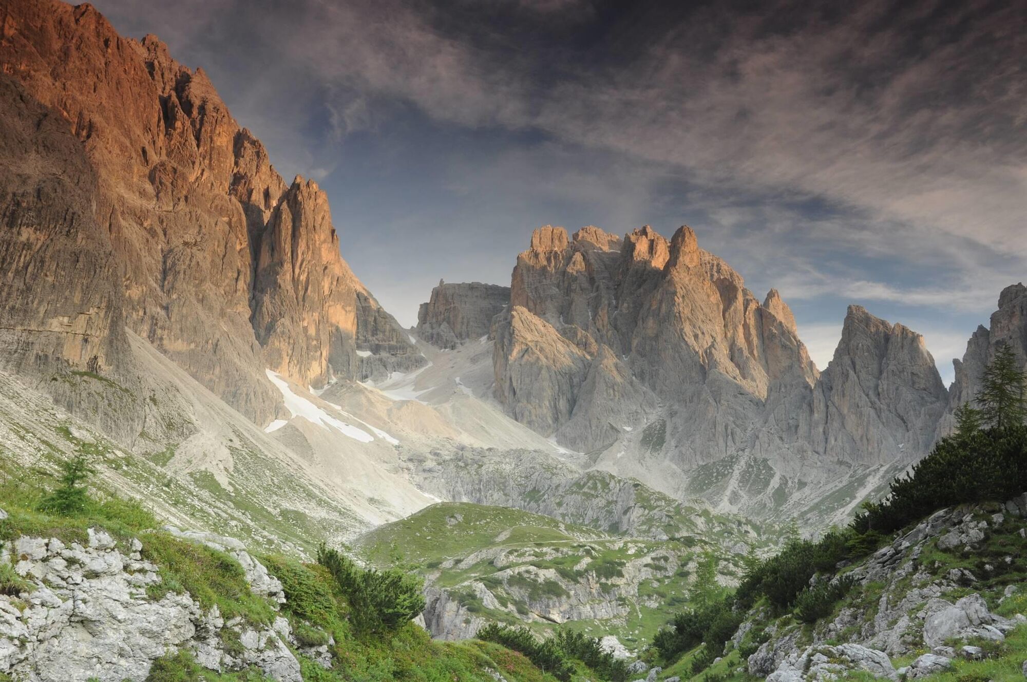
Titian's Alpine Path
- Teškoća
-
teška
- Vrednovanje
-
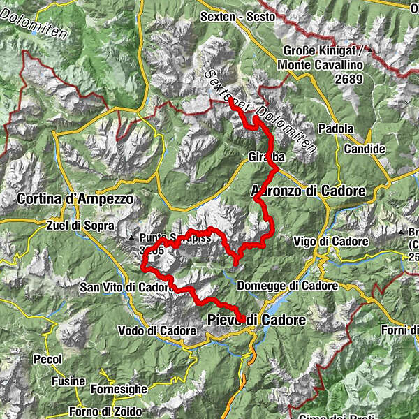
- Wegverlauf
-
Oberbachernjoch (2.515 m)0,3 kmSandbüheljoch1,3 kmCarducci Hütte6,6 kmGiralba13,3 kmAga dei pore15,6 kmChalet La Primula18,5 kmPian dei Méte19,6 kmCosta de i Barance21,3 kmGrava Bianca22,7 kmForcella Sacù (1.914 m)31,0 kmRifugio Chiggiato31,7 kmRifugio Pietro Galassi56,3 kmRifugio Antelao64,7 kmCostede68,3 km
- Beste Jahreszeit
-
sijveljožutrasvilipsrpkolrujlisstupro
- Höchster Punkt
- 2.640 m
- Zielpunkt
-
Pieve di Cadore
- Höhenprofil
-
 © outdooractive.com

- Autor
-
Die Tour Alpine Path no. 5 wird von outdooractive.com bereitgestellt.
GPS Downloads


Opće informacije
Kulturell/Historisch
Geheimtipp
Flora
Fauna
Aussichtsreich
Weitere Touren in den Regionen