- Kratak opis
-
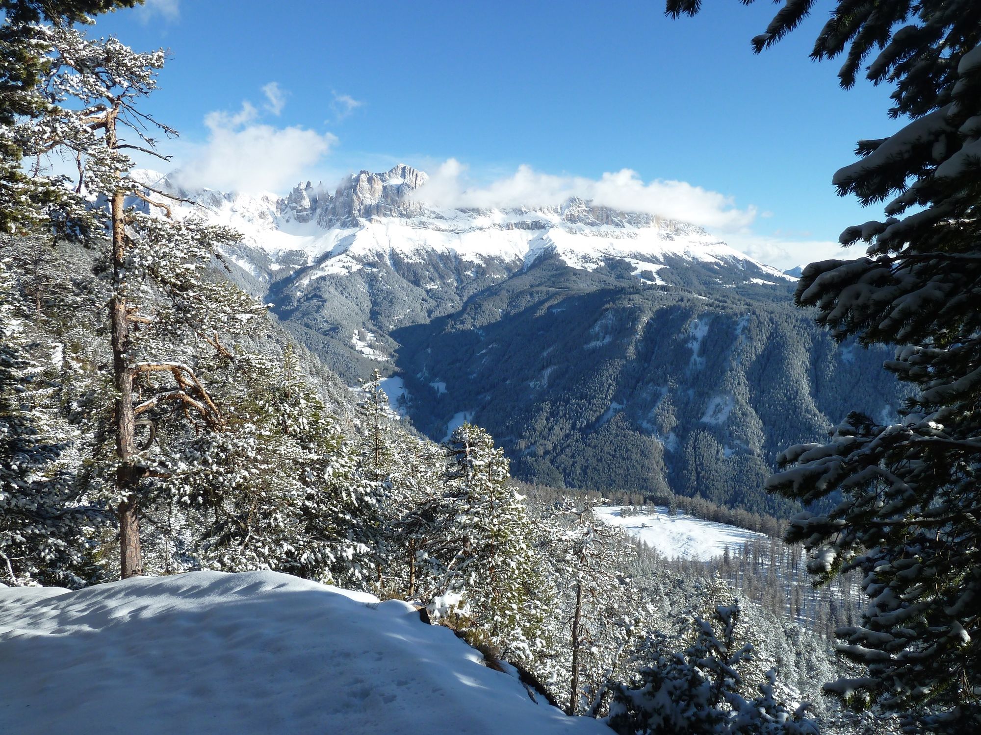
From the hotel go downwards to S. Ciprian passing some houses until you reach the hydropower station. Here you cross the bridge and follow the path on the right side. After a short walk in front of the second bridge follow the path on the left side a bit more uphill. Arriving to the street you cross it and go straight upwards, passing other housings and the hotel Panorama. Here you will get on another asphalted street which you follow to the left. Then follow the signs "Tschafon hut". The path now leads us uphill to a crossroads where we recommend to take the path in the forest and not the road up to the Tschafon hut. We hike past the hut and continue along the path to the Völsegg peak which is 100m higher. You will get to a viewpoint with a magnificent panoramic view over the Isarco and Adige valley, to Val Venosta as well as the surrounding mountains of the Dolomites. The way back takes us on the same path as uphill.
- Teškoća
-
srednje
- Vrednovanje
-
- Wegverlauf
-
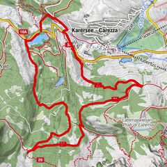
St. Zyprian0,3 kmWeisslahnbad0,9 kmSchutzhaus Tschafon3,9 kmWeisslahnbad7,2 kmSt. Zyprian7,8 km
- Beste Jahreszeit
-
kolrujlisstuprosijveljožutrasvilipsrp
- Höchster Punkt
- 1.717 m
- Zielpunkt
-
Cyprianerhof St. Zyprian
- Höhenprofil
-
 © outdooractive.com


-

-
AutorDie Tour To the Tschafon hut wird von outdooractive.com bereitgestellt.