
- Kratak opis
-
Zick-Zack-Aufstieg, geht etwas in die Beine
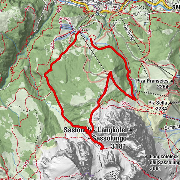
- Wegverlauf
-
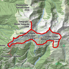
Cason3,5 kmLangkofelhütte6,6 km
- Höchster Punkt
- 2.258 m
- Höhenprofil
-
 © outdooractive.com
- Autor
-
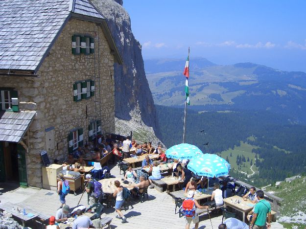
Die Tour Monte Pana 1637m zur Langkofelhütte 2253 m wird von outdooractive.com bereitgestellt.
GPS Downloads


Weitere Touren in den Regionen