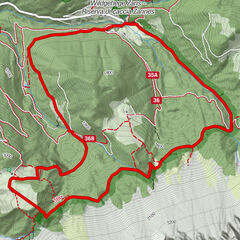
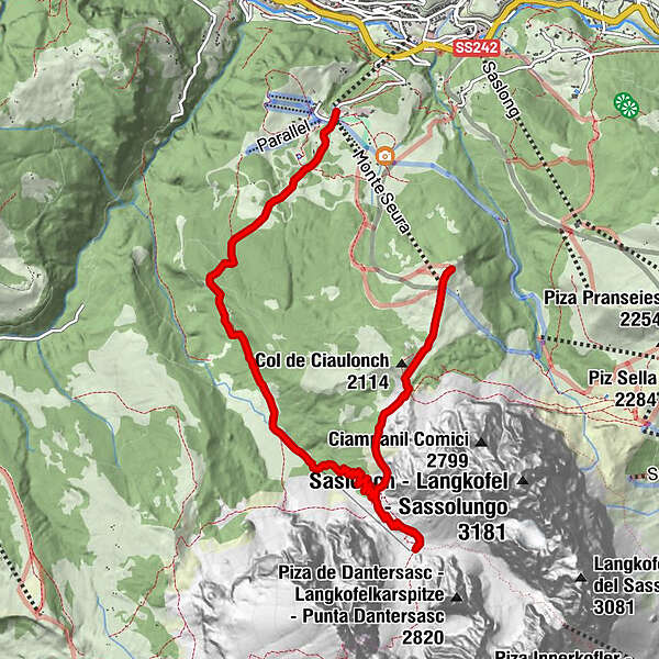
Podaci o ruti
8,63km
1.627
- 2.257m
317hm
679hm
02:30h
- Kratak opis
-
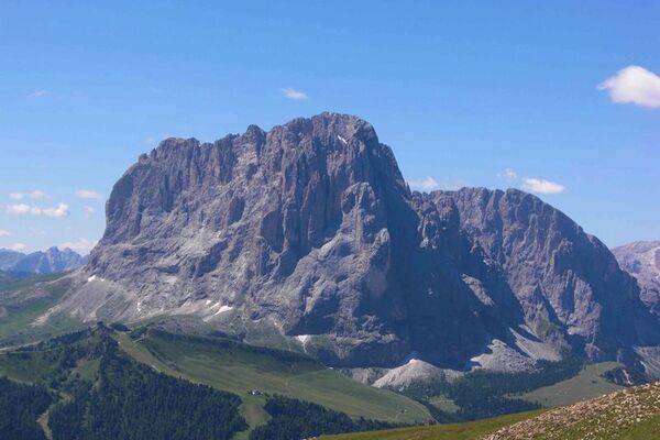
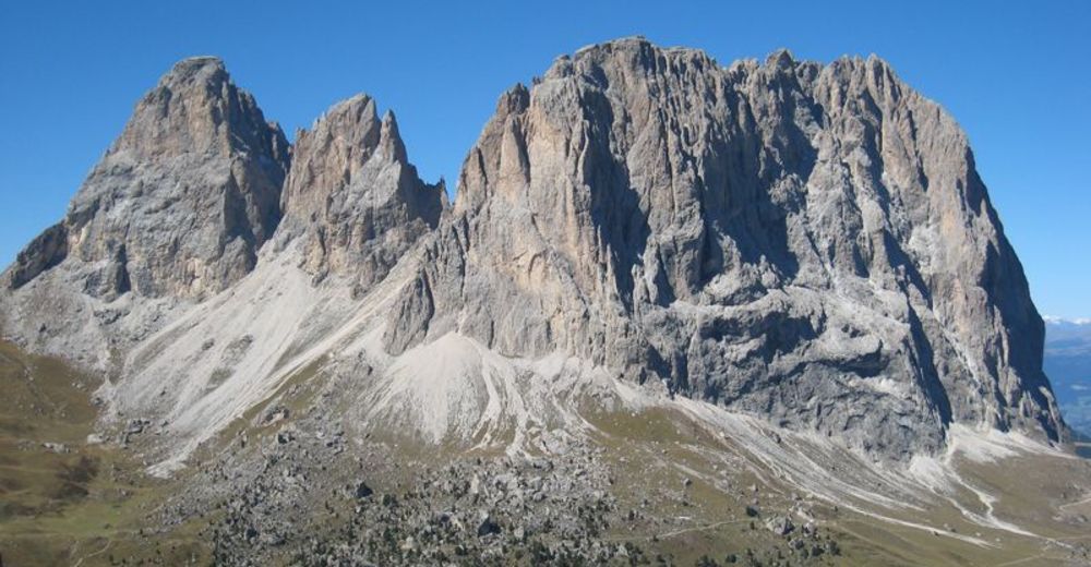
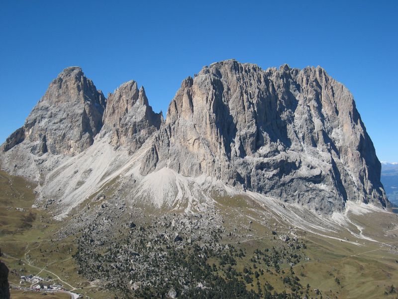
Leichte Wanderung auf großteils schönen, durch Wald und über Wiesen führenden Wegen.
- Teškoća
-
lagano
- Vrednovanje
-
- Polazna točka
-
Bergstation Sessellift Mont de Seura auf 2025 m Seehöhe
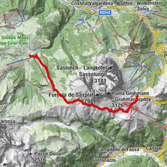
- Wegverlauf
-
Monte Seura (2.042 m)0,1 kmLangkofelhütte2,8 km
- Beste Jahreszeit
-
sijveljožutrasvilipsrpkolrujlisstupro
- Höchster Punkt
- 2.257 m
- Info-Telefon
-
+39 0471 777 777
- Link
- www.dolomitesalpine.it
GPS Downloads

Weitere Touren in den Regionen