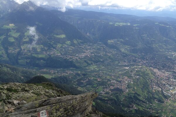
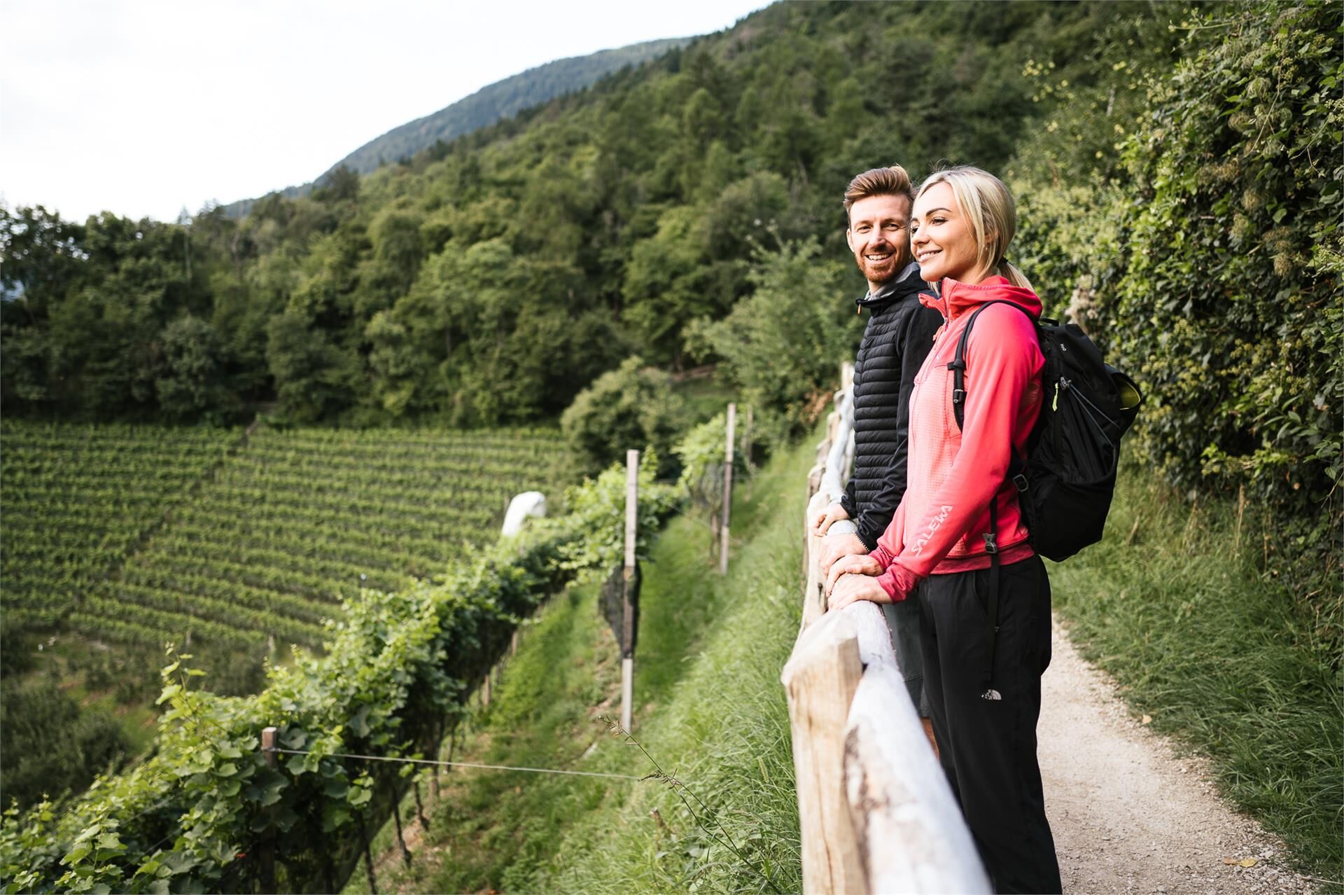
© Marling - TV Marling/Terzer Armin
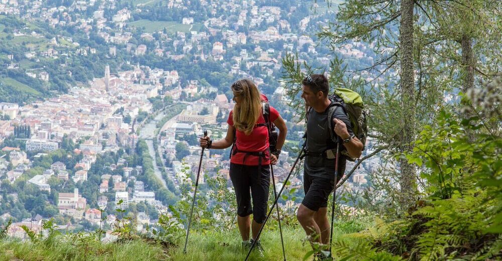
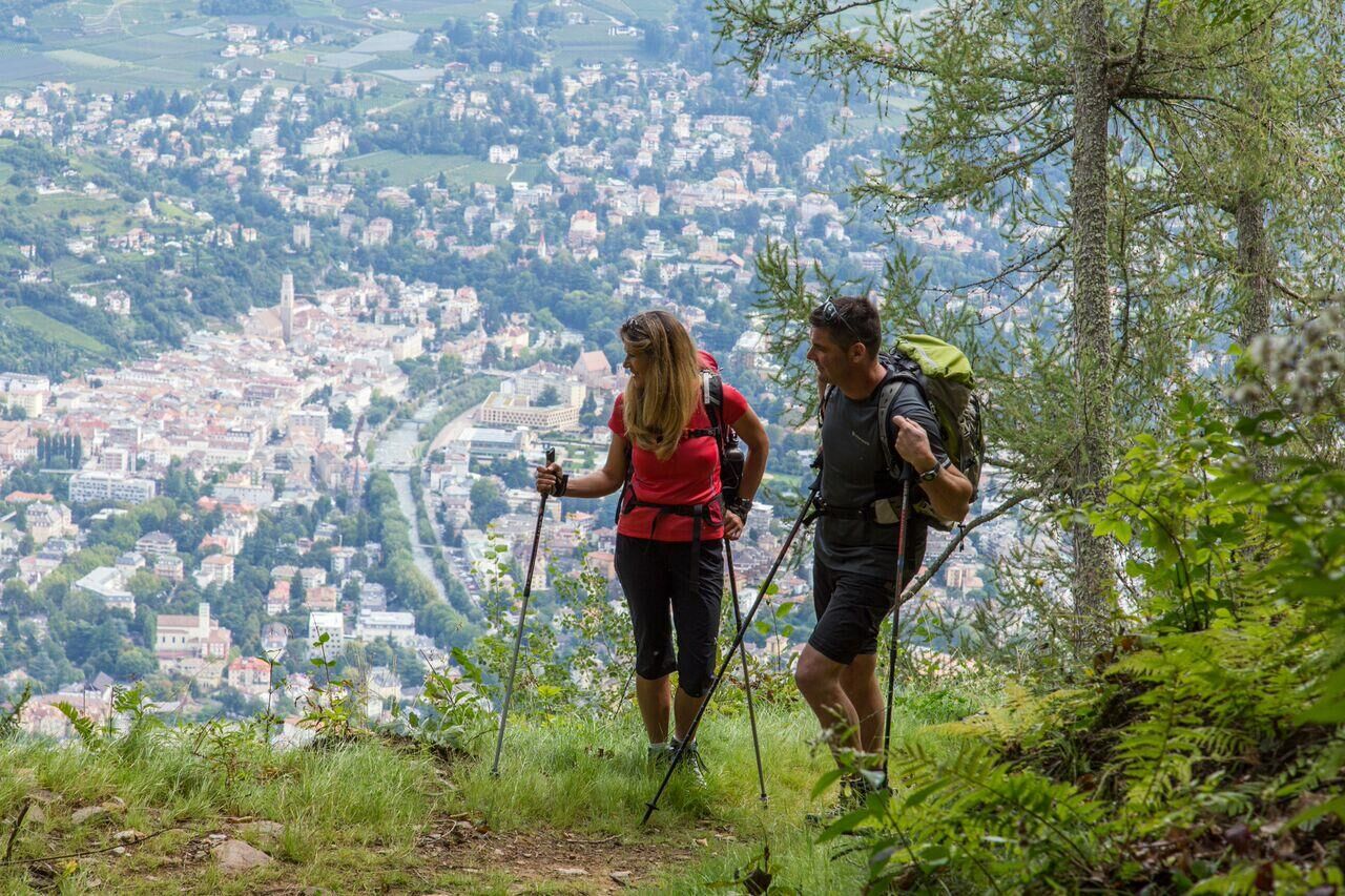
© Marling - Tourismusverein Marling

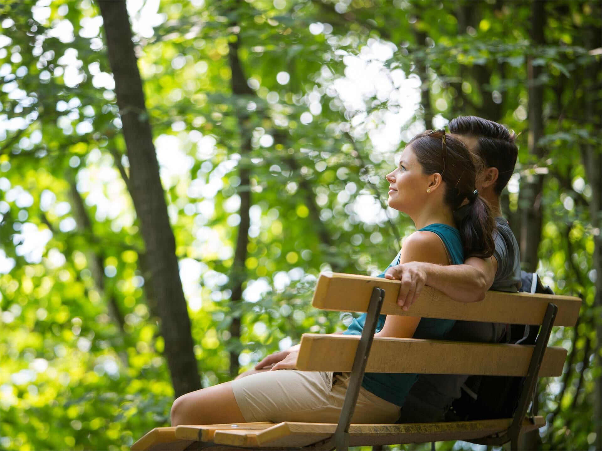
© Marling - TV Marling/Pichler Günther
Podaci o ruti
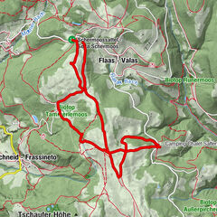
7,48km
448
- 896m
428hm
413hm
02:22h
- Kratak opis
-
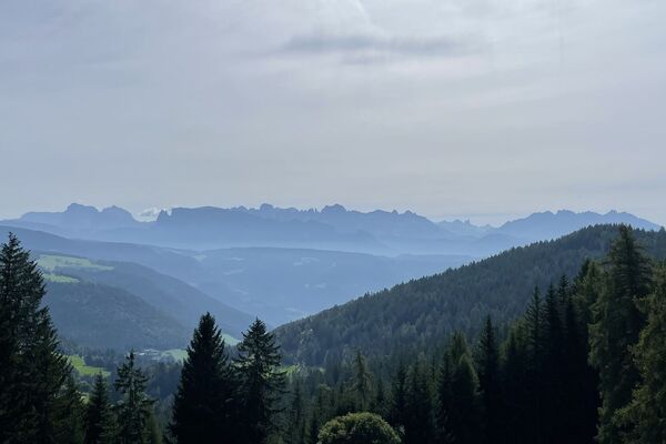
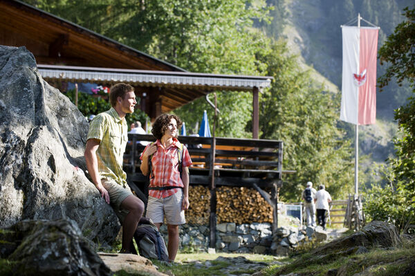
Farmstead Hike on Marlinger Berg Mountain with start in the car park below Lebenberg Castle.
- Teškoća
-
srednje
- Vrednovanje
-
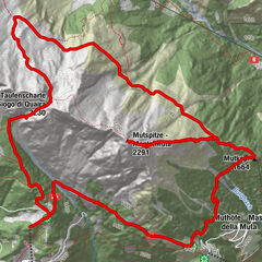
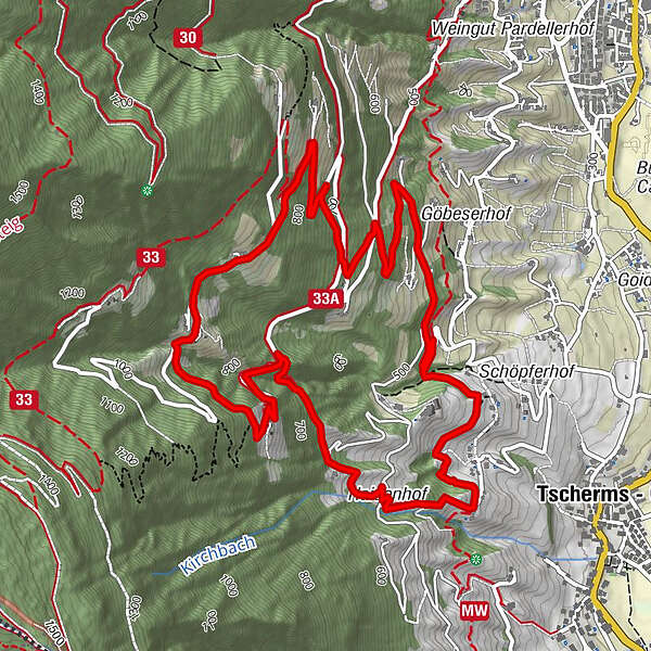
- Wegverlauf
-
Jausenstation Hofer-Hof (815 m)3,1 km
- Beste Jahreszeit
-
sijveljožutrasvilipsrpkolrujlisstupro
- Höchster Punkt
- 896 m
- Höhenprofil
-
 © outdooractive.com
- Autor
-
MarlingDie Tour Farmstead Hike on Marlinger Berg Mountain wird von outdooractive.com bereitgestellt.
GPS Downloads


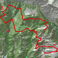
Weitere Touren in den Regionen
-
Meraner Land
1717
-
Meran und Umgebung
752
-
Marling
300