- Kratak opis
-
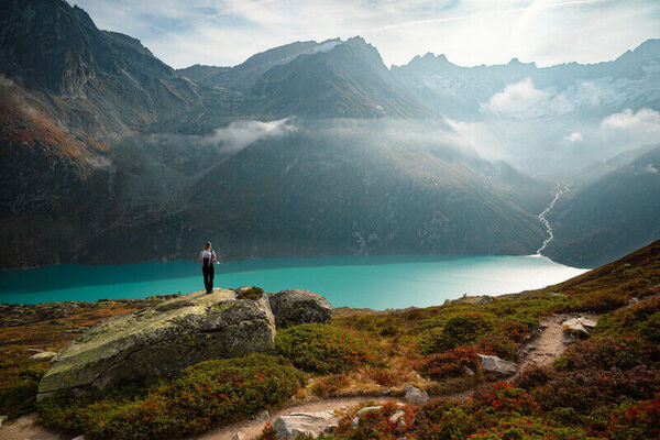
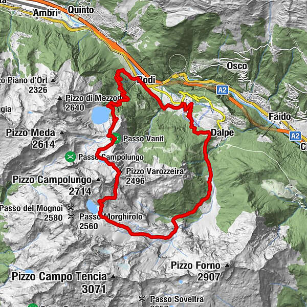
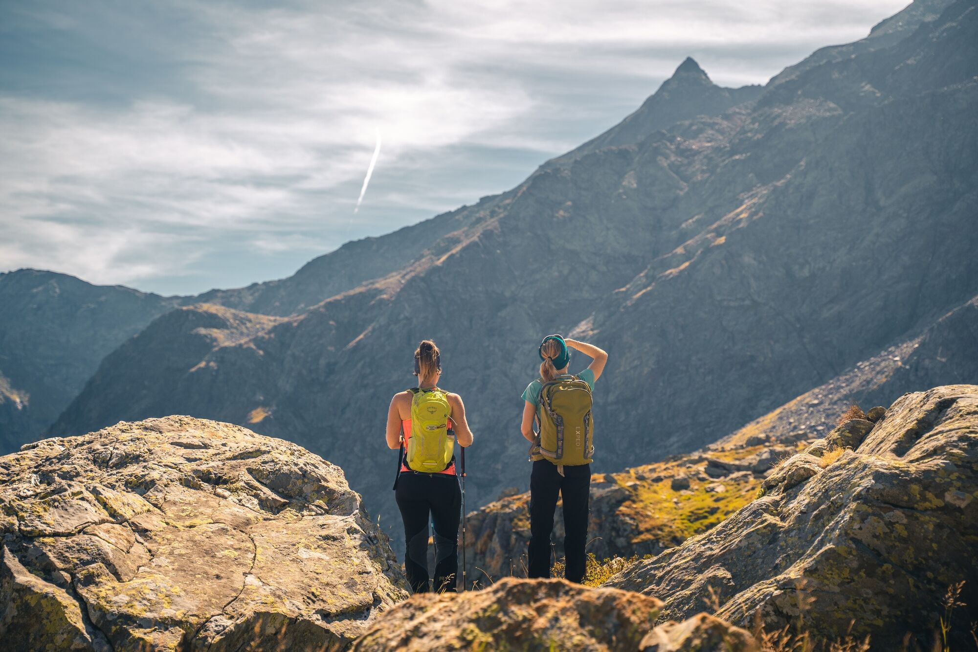
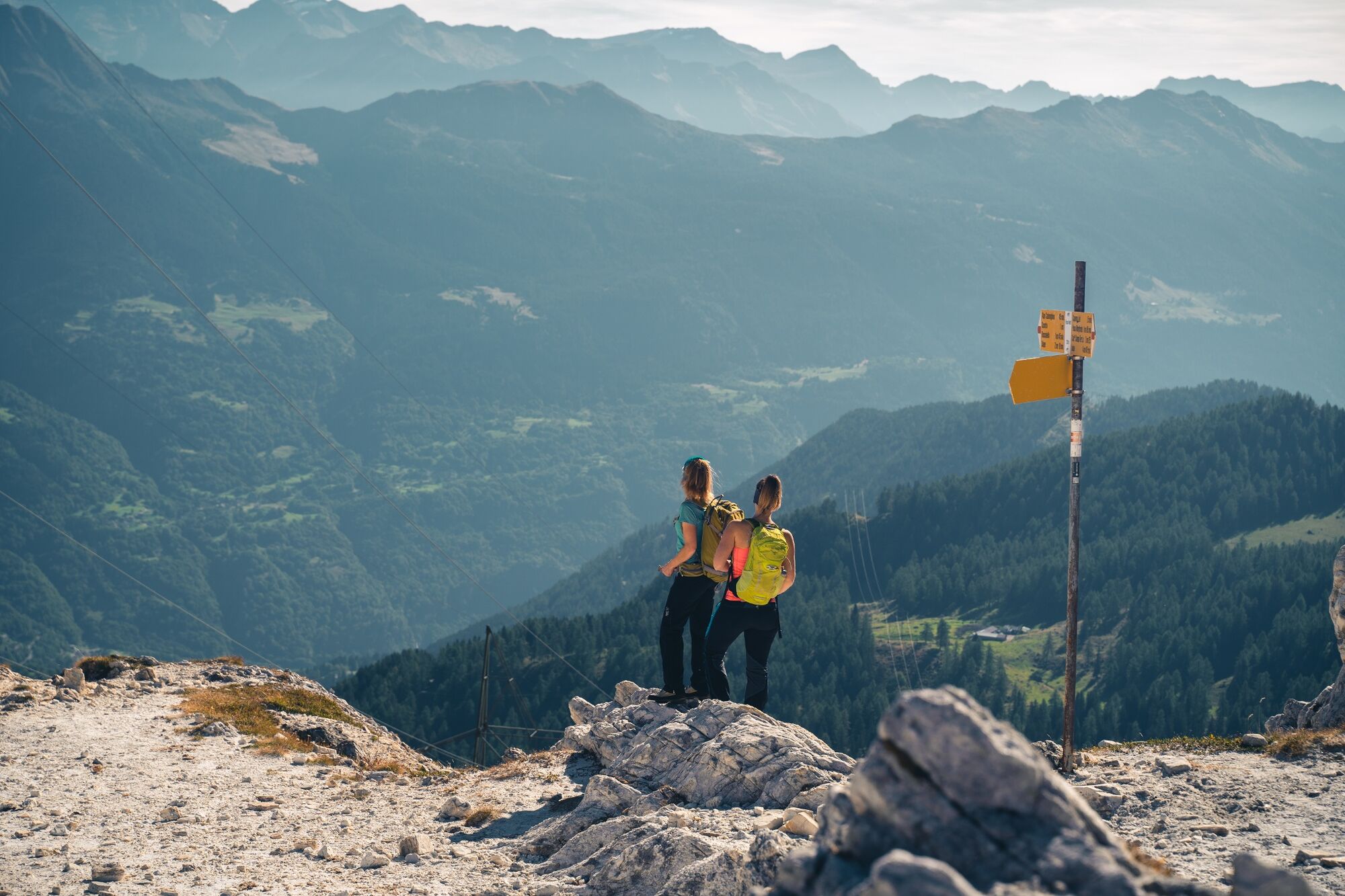
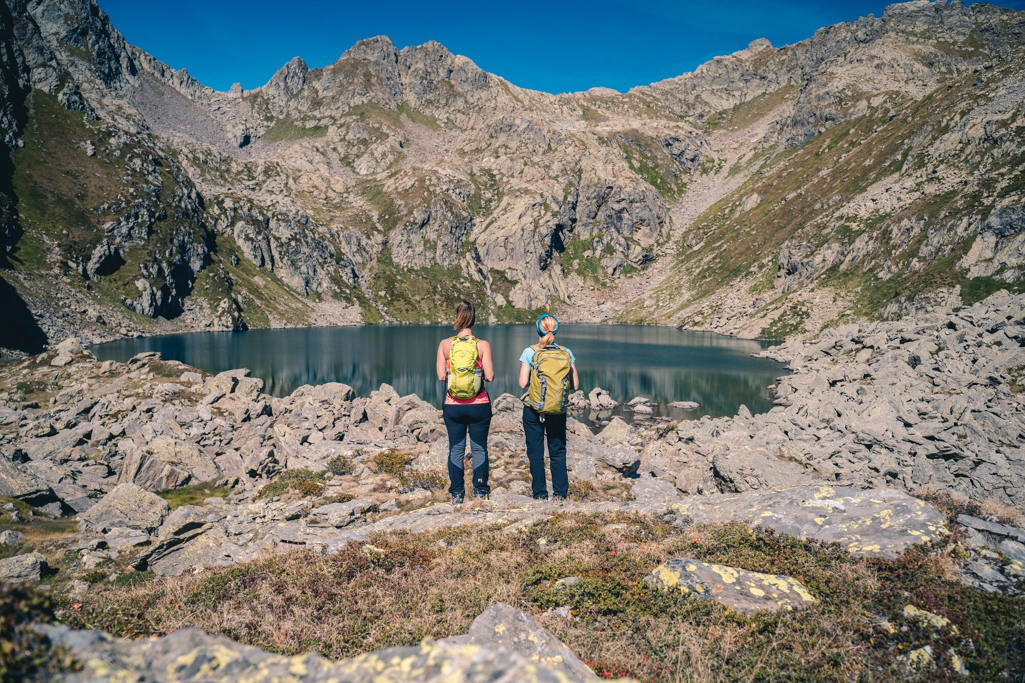
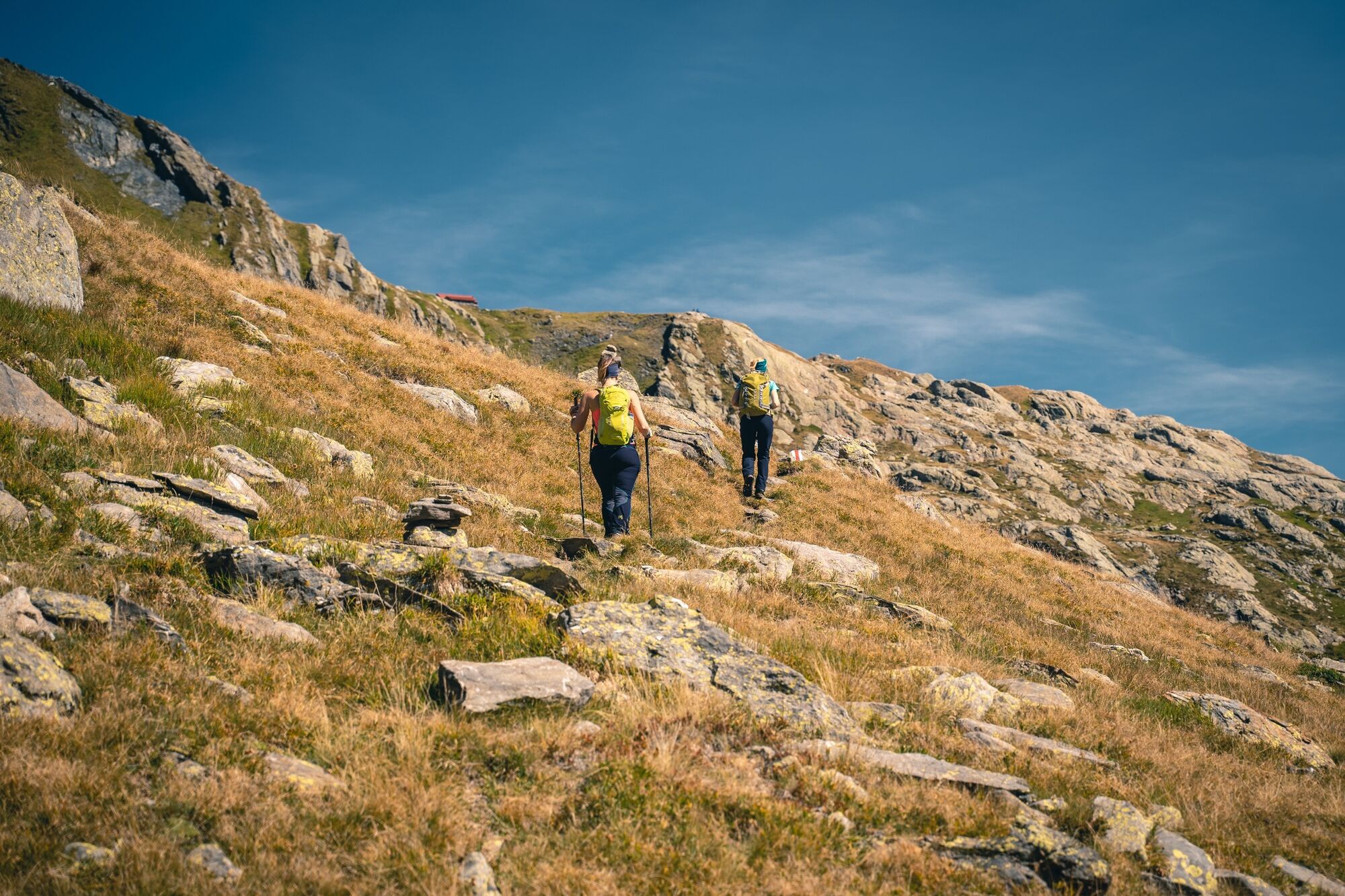
Come with us for a beautiful hike that will take us to the Tremorgio and Morghirolo Lakes along a trail winding through luscious, flower-covered meadows and rocky terrain. Both of these tranquil lakes, in their idyllic setting, invite us to tarry a while for a stroll along their banks.
- Teškoća
-
teška
- Vrednovanje
-
- Wegverlauf
-
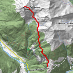
RodiFiesso0,3 kmFiesso di Sopra0,4 kmLago Tremorgio (1.850 m)4,5 kmCapanna Tremorgio (1.850 m)4,7 kmCapanna Leit (2.257 m)7,6 kmPizzo Varozzeira (2.496 m)8,7 kmCapanna Campo Tencia (2.140 m)12,3 kmCampo Tencia12,4 kmCroslina14,2 kmPolpiano (1.366 m)17,7 kmDalpe (1.192 m)18,8 kmBoscobello (1.349 m)19,0 kmPrato Leventina21,8 kmMascengo22,2 kmRodi23,7 kmFiesso24,1 km
- Beste Jahreszeit
-
sijveljožutrasvilipsrpkolrujlisstupro
- Höchster Punkt
- 2.460 m
- Zielpunkt
-
Rodi-Fiesso
- Höhenprofil
-
 © outdooractive.com


-

-
AutorDie Tour Hiking to Tremorgio and Morghirolo Lakes wird von outdooractive.com bereitgestellt.
GPS Downloads


Opće informacije
Einkehrmöglichkeit
Geheimtipp
Aussichtsreich