© Lugano Region - All rights reserved — Antonio Ravazza

© Lugano Region - All rights reserved — Milo Zanecchia

© Lugano Region - All rights reserved — Antonio Ravazza

- Kratak opis
-
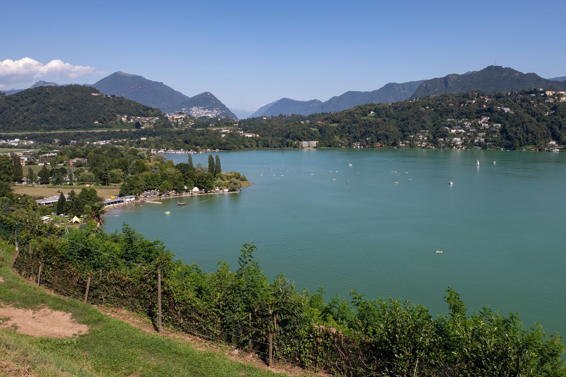
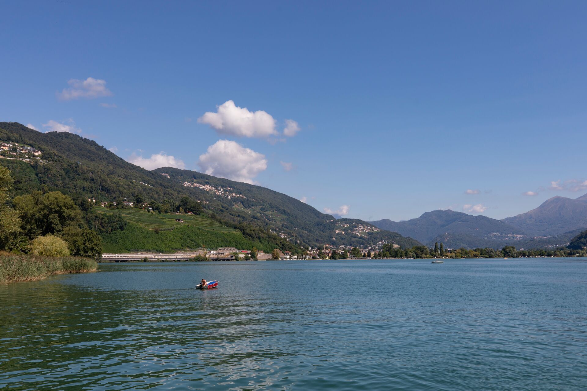
From the Villa Negroni park in Magliaso, via the Vedeggio river and the park to Lake Agno.
- Teškoća
-
lagano
- Vrednovanje
-
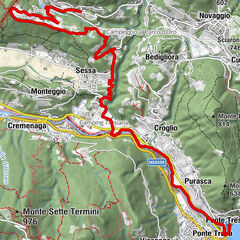
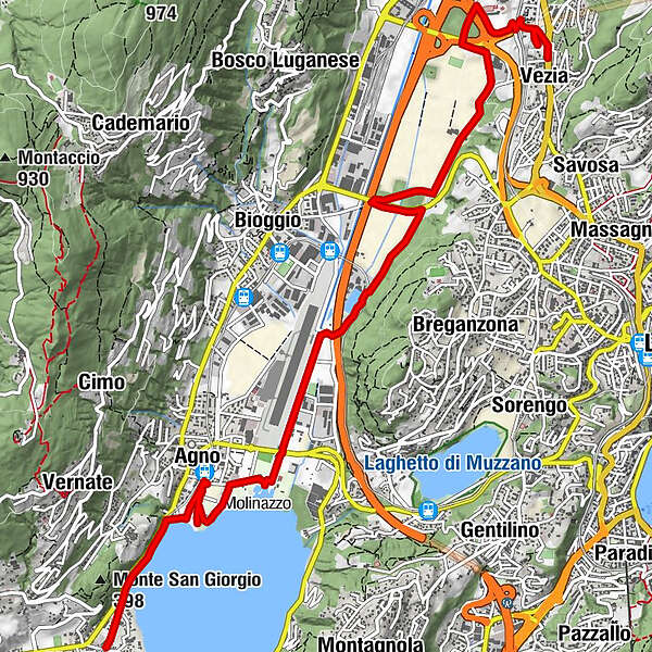
- Wegverlauf
-
Vezia (370 m)Cadempino (315 m)1,4 kmLugano (273 m)3,3 kmAgno (280 m)8,4 kmCassina d'Agno9,2 kmMagliaso (287 m)10,0 km
- Beste Jahreszeit
-
sijveljožutrasvilipsrpkolrujlisstupro
- Höchster Punkt
- 351 m
- Zielpunkt
-
Agno
- Höhenprofil
-
 © outdooractive.com
-

-
AutorDie Tour Agno wird von outdooractive.com bereitgestellt.
GPS Downloads


Weitere Touren in den Regionen