


- Kratak opis
-
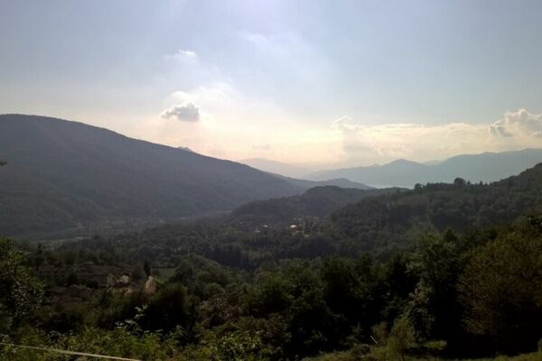
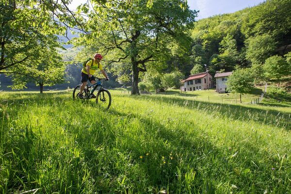
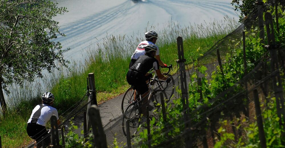
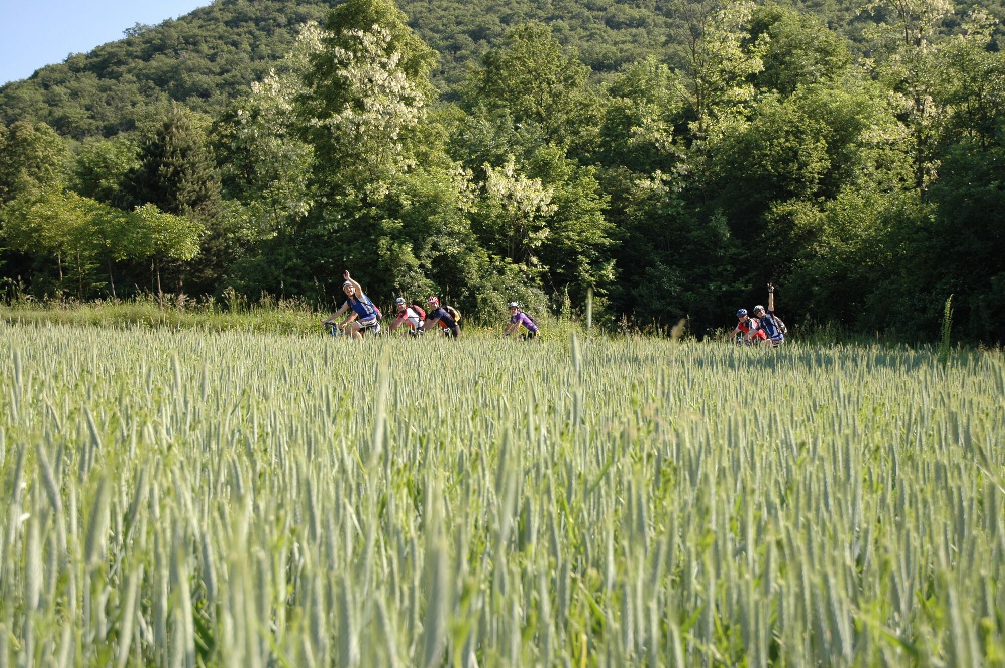
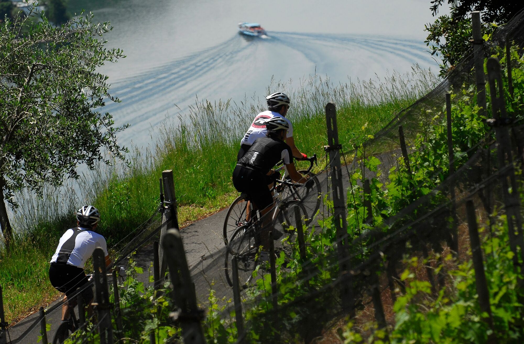
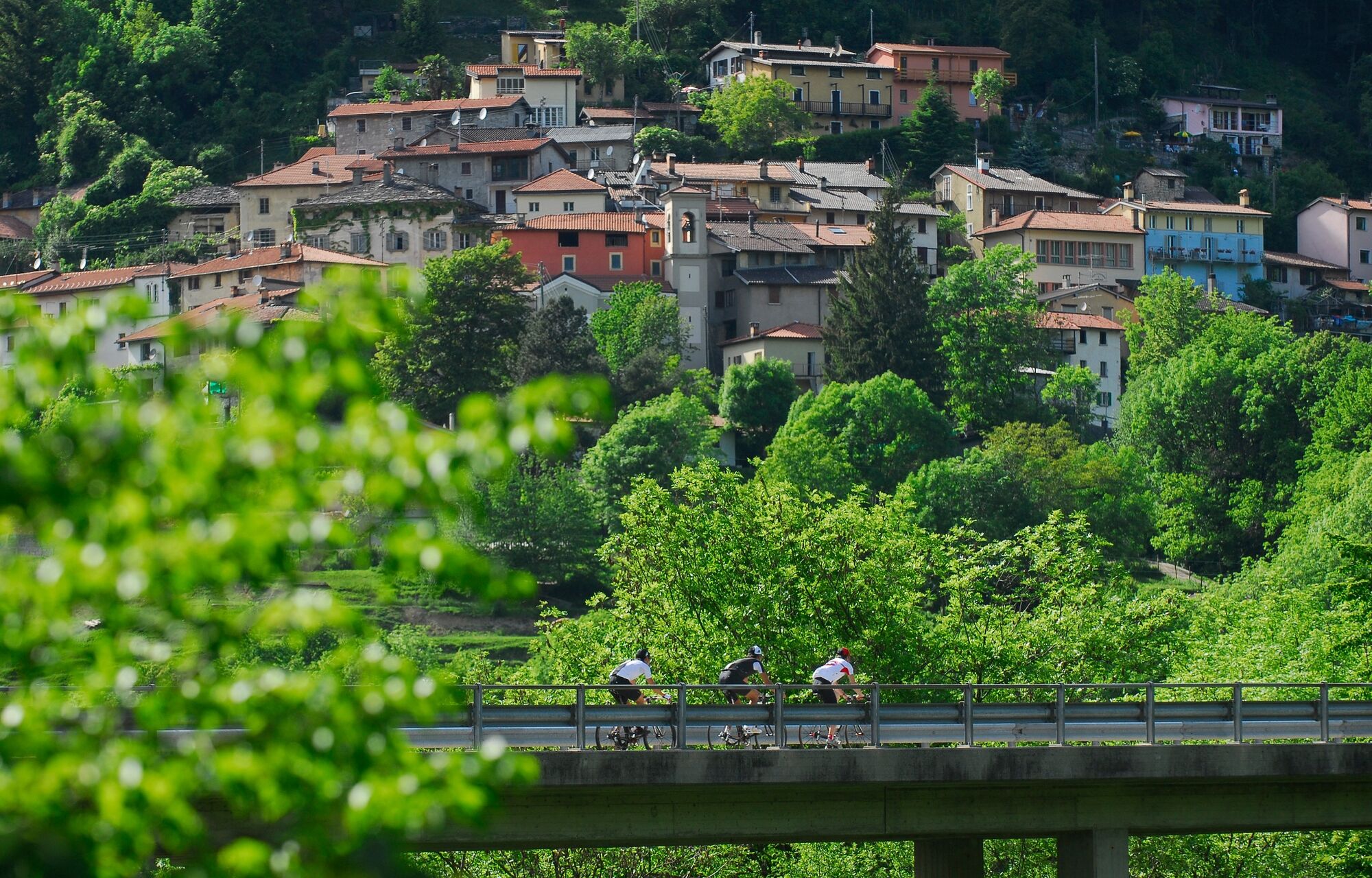
It is an easy mountainbike route in the variegated, rich landscape in the plain area of the Mendrisiotto, which is marked by the presence of the lake and the vineyards.
- Teškoća
-
lagano
- Vrednovanje
-
- Wegverlauf
-
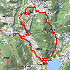
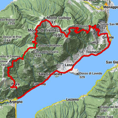
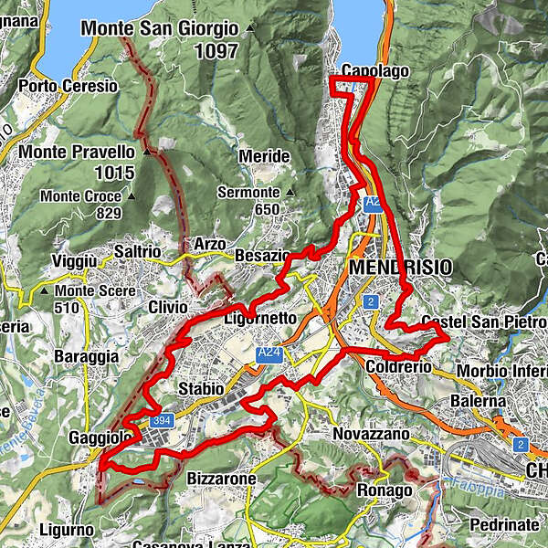
Chiesa di Santa Maria Maddalena0,0 kmCapolago (273 m)0,1 kmRistorante Svizzero0,2 kmOsteria San Giorgio0,8 kmRiva San Vitale (273 m)0,8 kmBaptistery of St. John0,9 kmChiesa di San Vitale0,9 kmOratorio di San Rocco1,0 kmMendrisio (354 m)5,1 kmRancate (352 m)5,9 kmFornasella6,8 kmBesazio (497 m)7,1 kmLigornetto (362 m)8,4 kmClivio9,8 kmMontalbano11,4 kmMonticello13,1 kmGaggiolo14,5 kmGrotto Santa Margherita16,8 kmspartiacque Laveggio/Gaggiolo (355 m)16,8 kmSanta Margherita16,8 kmPrella19,0 kmGenestrerio (343 m)20,9 kmColombera21,1 kmCanova21,7 kmChiesa di Sant'Apollonia23,1 kmColdrerio (351 m)23,6 kmVilla24,4 kmCorteglia (464 m)25,5 kmOsteria Frecass25,6 kmOratorio di San Nicola da Tolentino25,7 kmFoto-Spot Mendrisio27,5 kmSalorino (473 m)28,1 kmMendrisio (354 m)28,1 kmChiesa di Santa Maria delle Grazie28,3 kmChiesa San Giovanni Battista28,4 kmGrotto del Tiglio32,2 kmChiesa di Santa Maria Maddalena32,5 kmCapolago (273 m)32,5 km
- Beste Jahreszeit
-
sijveljožutrasvilipsrpkolrujlisstupro
- Höchster Punkt
- 448 m
- Zielpunkt
-
Capolago, FFS Station
- Höhenprofil
-
 © outdooractive.com
- Autor
-
Die Tour Piana del Laveggio Bike wird von outdooractive.com bereitgestellt.
Alle Bewertungen
Dario Bertoldo
19. Mar. 2024
Panoramico
Du findest diese Bewertung hilfreich
Du und 1 Person finden diese Bewertung hilfreich
Du und Personen finden diese Bewertung hilfreich
1 Person findet diese Bewertung hilfreich
Personen finden diese Bewertung hilfreich
|
GPS Downloads


Opće informacije
Kulturell/Historisch
Geheimtipp
Weitere Touren in den Regionen