© Pilgerwege Schweiz - Walter Wilhelm

© Pilgerwege Schweiz - Walter Wilhelm

© Pilgerwege Schweiz - Walter Wilhelm

© Pilgerwege Schweiz - Walter Wilhelm
- Kratak opis
-
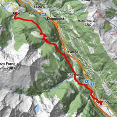
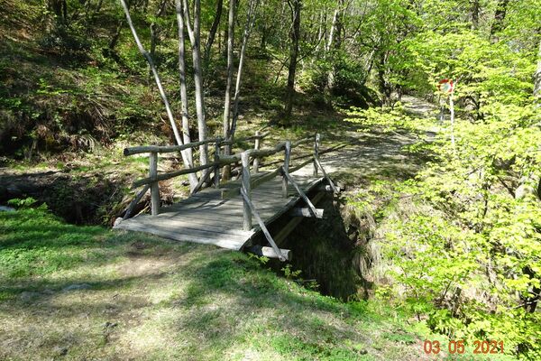
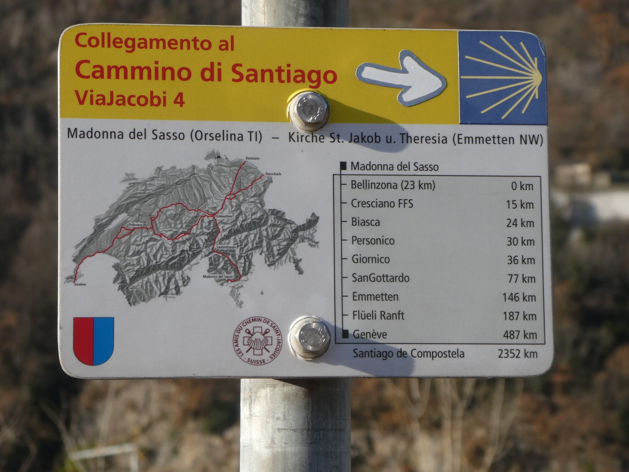
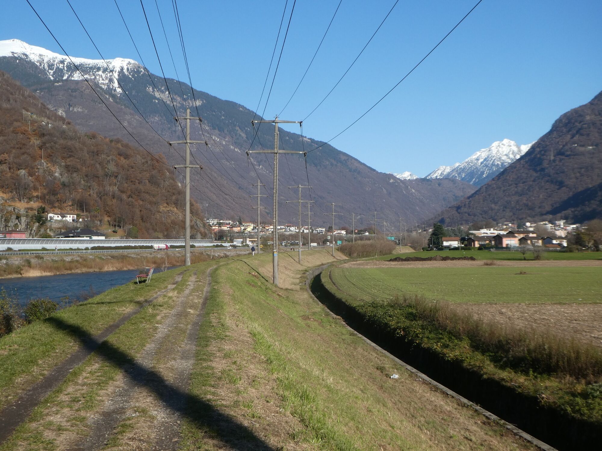
Der Weg führt auf dem Sentiero Riviera, einem Dammweg, fast ständig mit Wald gesäumt, dem Fluss Ticiono entlang nach Biasca.
- Teškoća
-
srednje
- Vrednovanje
-
- Wegverlauf
-
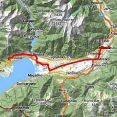
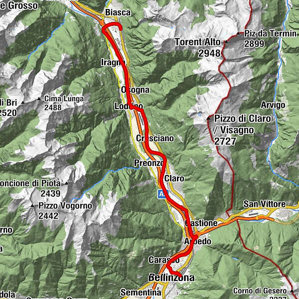
Bellinzona (241 m)0,0 kmBellinzone (230 m)0,7 kmCarasso (236 m)1,6 kmCamping Bellinzona3,6 kmHotel Liberty3,8 kmArbedo (283 m)4,1 kmRistorante Da Sandra15,1 kmLodrino (269 m)16,8 kmBiasca (301 m)24,0 kmLucomagno24,4 kmBiasca (293 m)24,5 kmNazionale24,5 kmStazione Grill24,5 km
- Beste Jahreszeit
-
sijveljožutrasvilipsrpkolrujlisstupro
- Höchster Punkt
- 292 m
- Zielpunkt
-
Biasca, Stazione
- Höhenprofil
-
 © outdooractive.com
-
-
AutorDie Tour Tessiner Anschlussweg zur Via Jakobi: Bellinzona - Biasca wird von outdooractive.com bereitgestellt.
GPS Downloads


Opće informacije
Einkehrmöglichkeit
Kulturell/Historisch
Aussichtsreich
Weitere Touren in den Regionen