© Masterplan Alta Vallemaggia - Timo Cadlolo

© Masterplan Alta Vallemaggia - Timo Cadlolo

© Masterplan Alta Vallemaggia - Timo Cadlolo

© Masterplan Alta Vallemaggia - Timo Cadlolo

© Masterplan Alta Vallemaggia - Timo Cadlolo

© Masterplan Alta Vallemaggia - Timo Cadlolo

© Masterplan Alta Vallemaggia - Timo Cadlolo

© Masterplan Alta Vallemaggia - Timo Cadlolo

© Masterplan Alta Vallemaggia - Timo Cadlolo

- Kratak opis
-
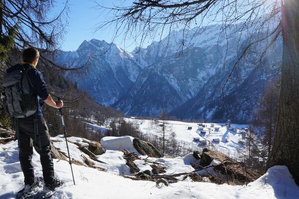
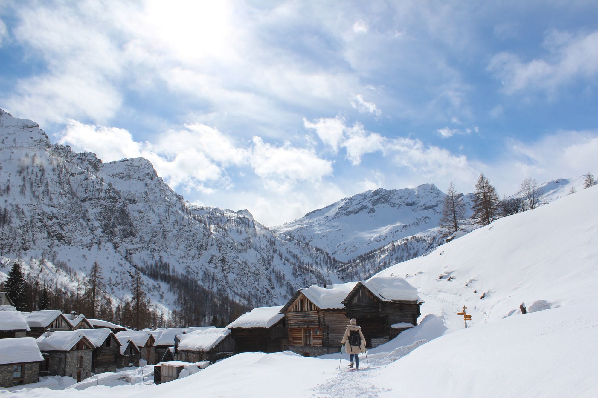
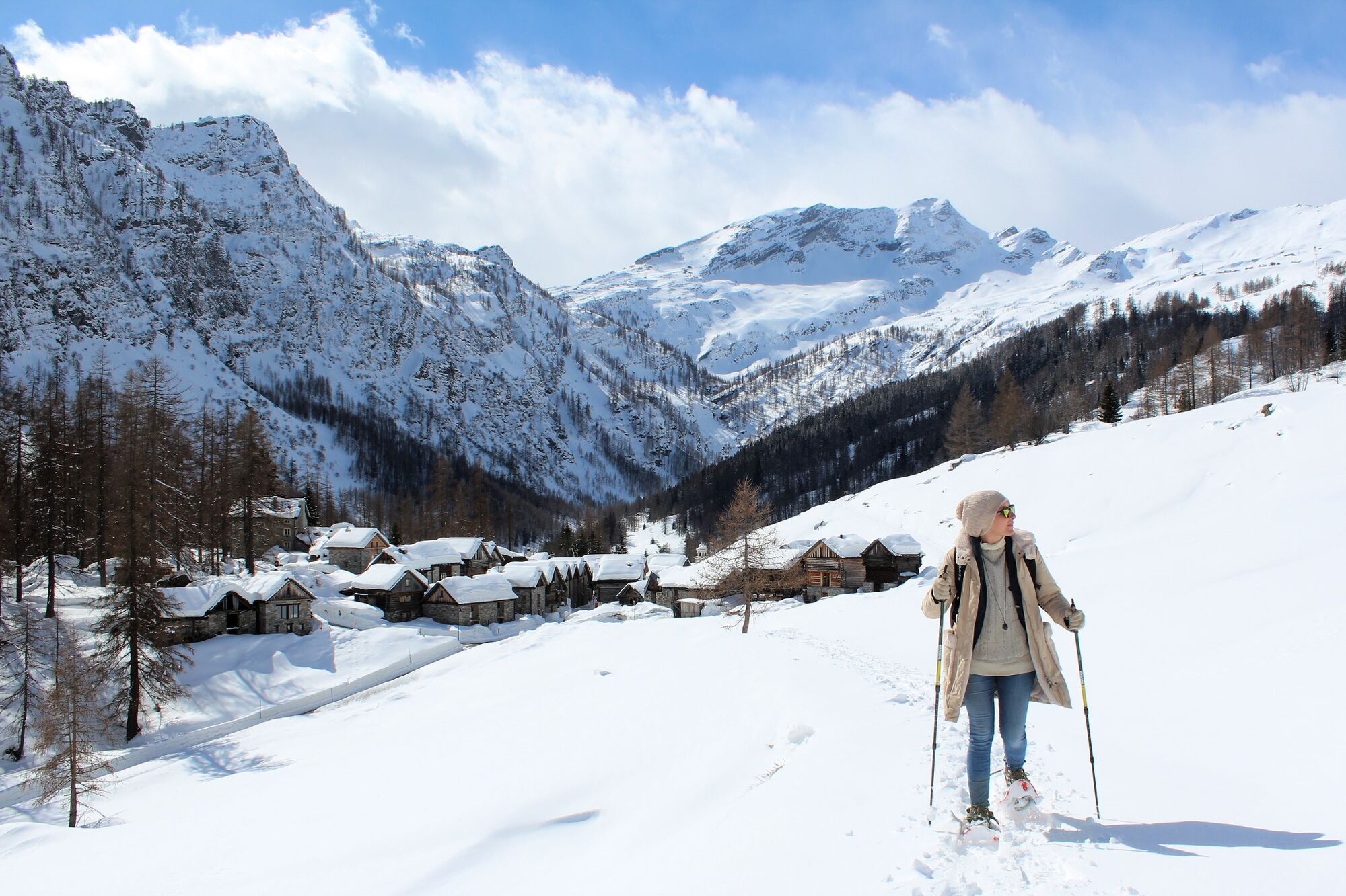
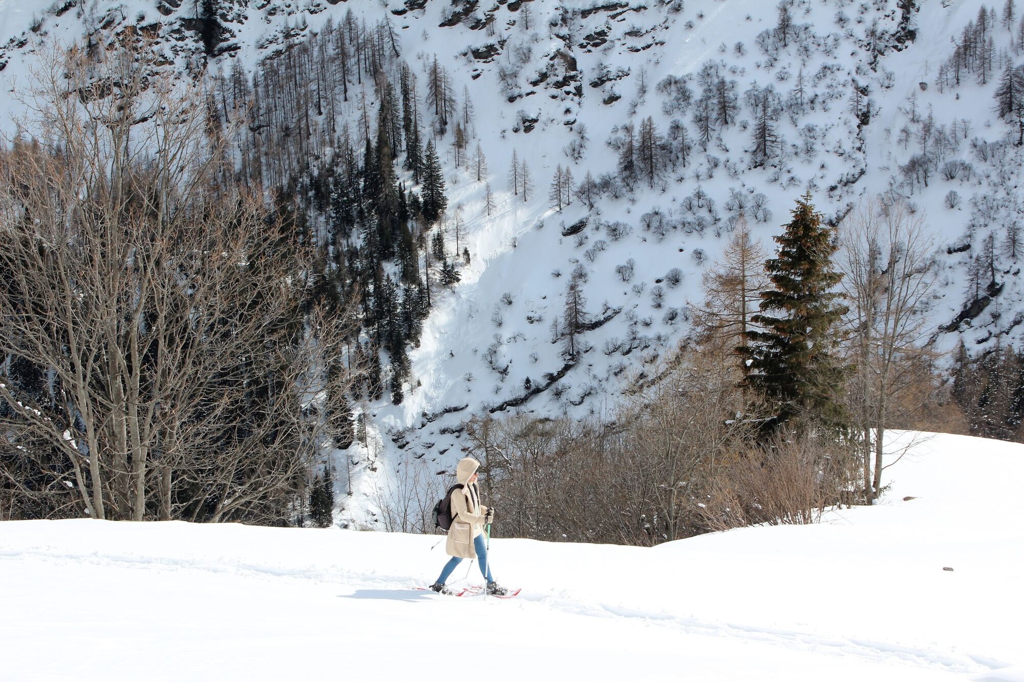
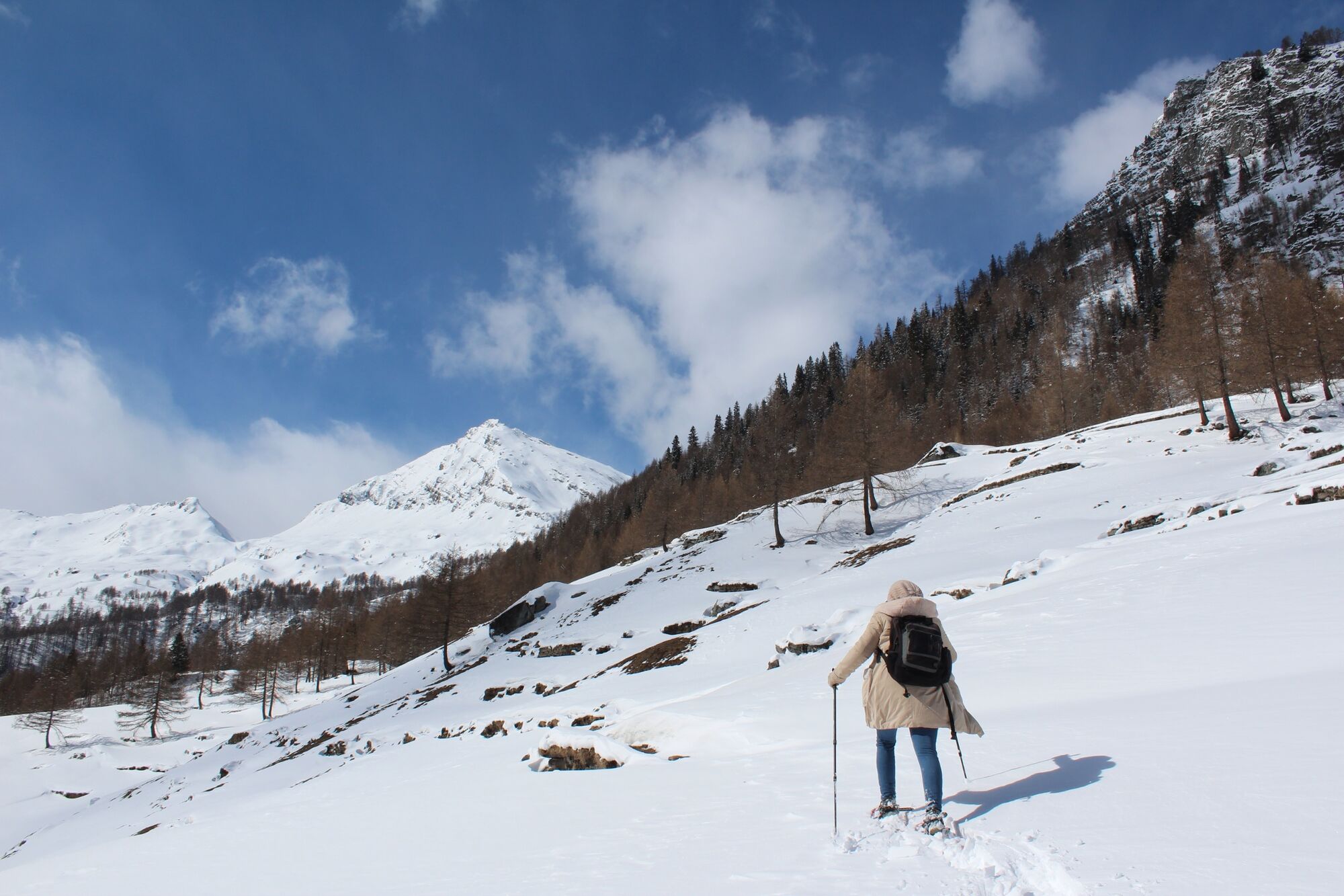
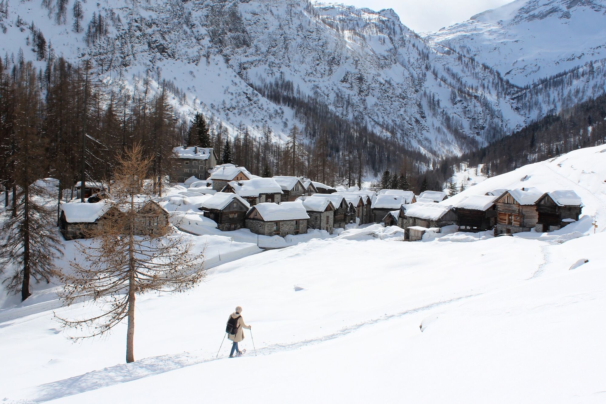
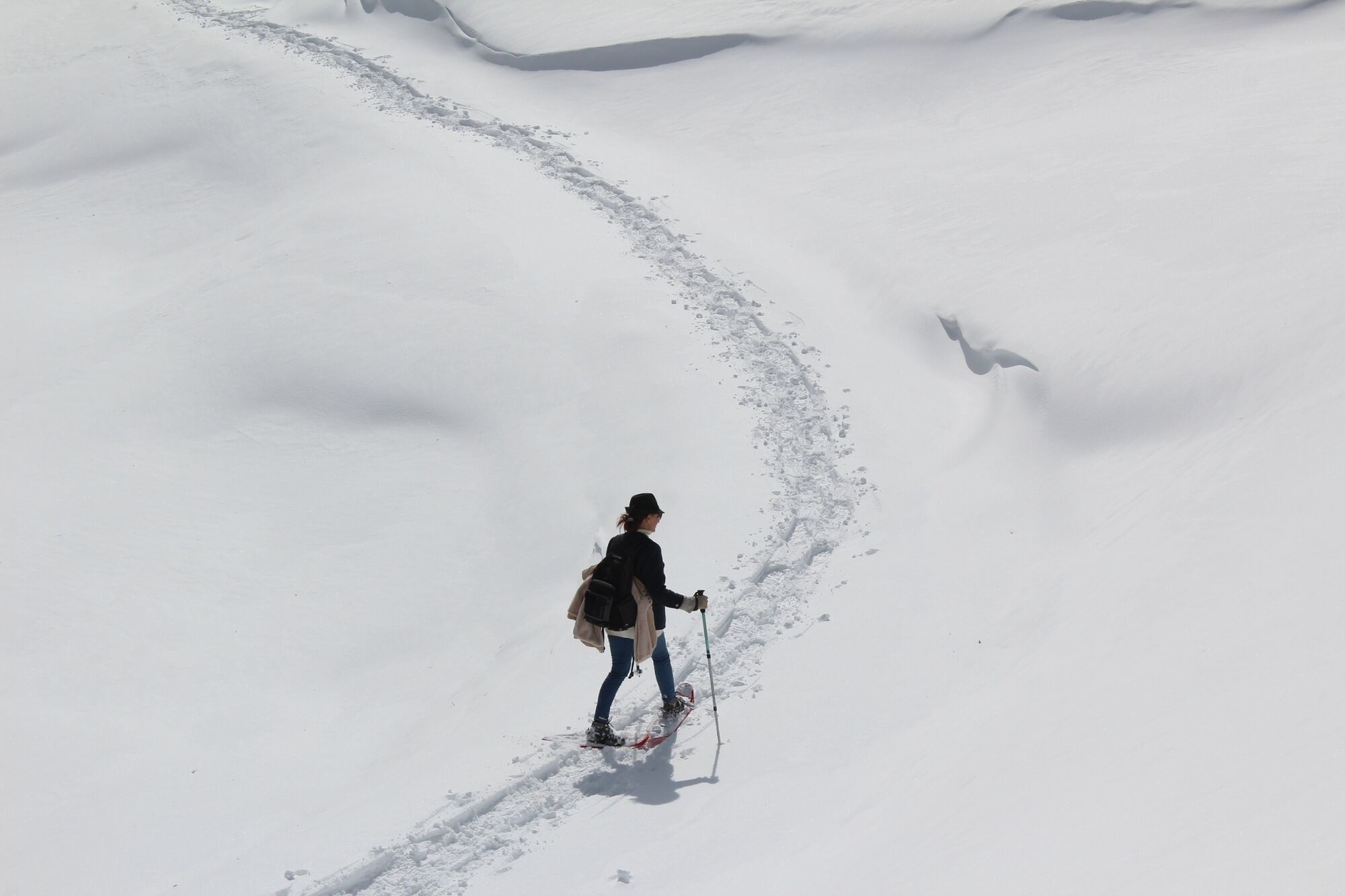
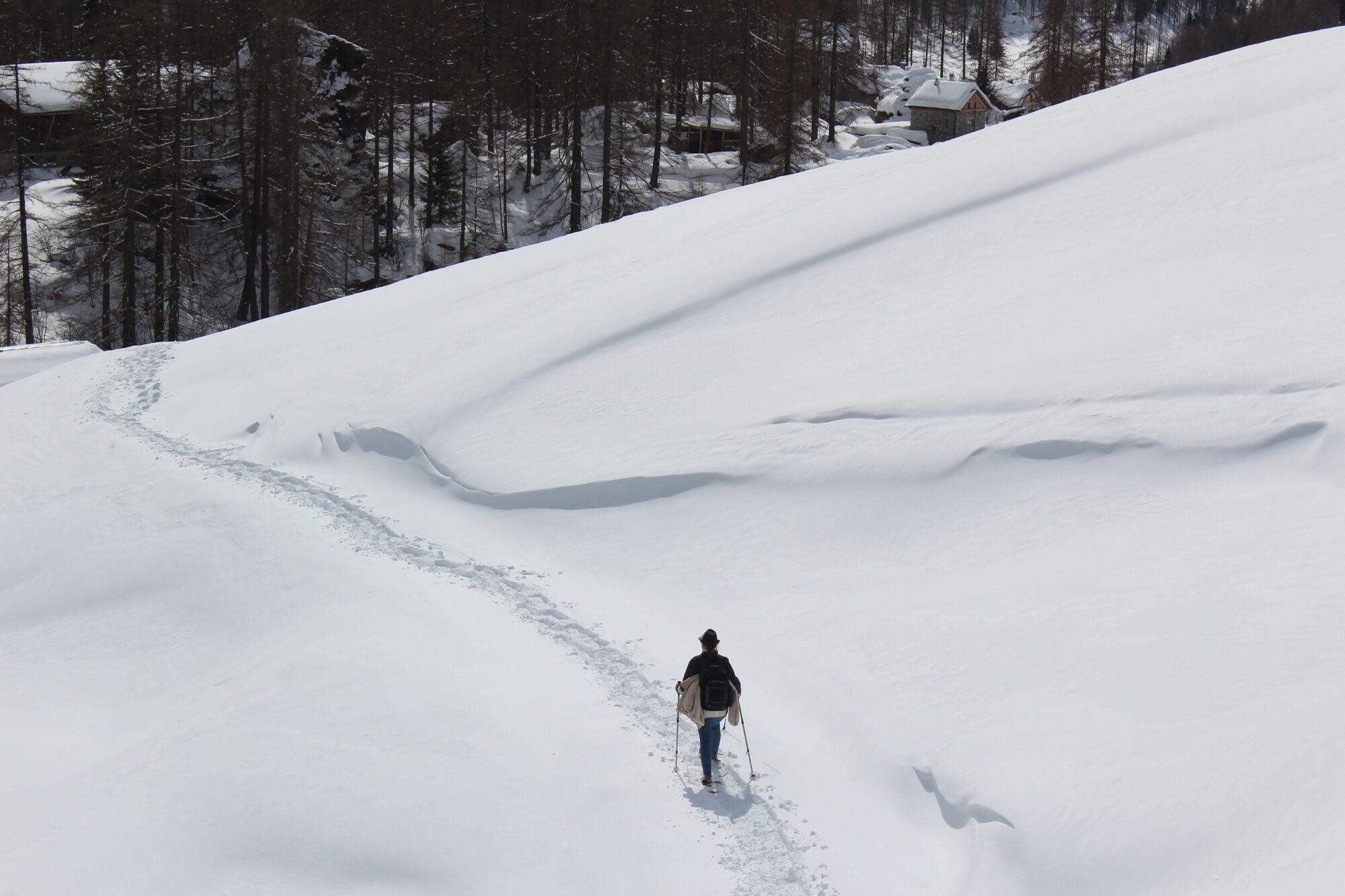
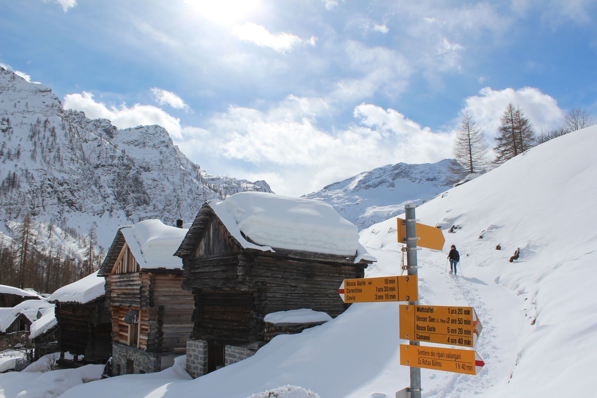
In the footsteps of the Walser people, wearing snowshoes. The Walser village of Bosco Gurin is the highest village in the Ticino canton and a popular winter sports and ski resort. A short loop, away from the ski pistes, takes you through some marvellous snowy mountain scenery.
- Teškoća
-
lagano
- Vrednovanje
-
- Wegverlauf
-
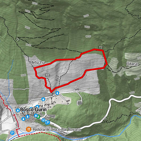
Metschu1,3 kmGurin (1.506 m)1,7 km
- Beste Jahreszeit
-
kolrujlisstuprosijveljožutrasvilipsrp
- Höchster Punkt
- 1.634 m
- Zielpunkt
-
Ferder, Bosco Gurin
- Höhenprofil
-
 © outdooractive.com

-

-
AutorDie Tour Percorso Ferder (SwitzerlandMobility 952) wird von outdooractive.com bereitgestellt.
GPS Downloads


Opće informacije
Aussichtsreich
Weitere Touren in den Regionen