© Lago Maggiore e Valli - Vanesa Gorgal

© Lago Maggiore e Valli - Vanesa Gorgal

© Lago Maggiore e Valli - Vanesa Gorgal

© Lago Maggiore e Valli - Vanesa Gorgal

© Lago Maggiore e Valli - Vanesa Gorgal

© Lago Maggiore e Valli - Vanesa Gorgal

© Lago Maggiore e Valli - Vanesa Gorgal

© Lago Maggiore e Valli - Vanesa Gorgal

© Lago Maggiore e Valli - Vanesa Gorgal

© Lago Maggiore e Valli - Vanesa Gorgal

- Kratak opis
-
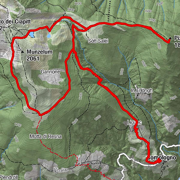
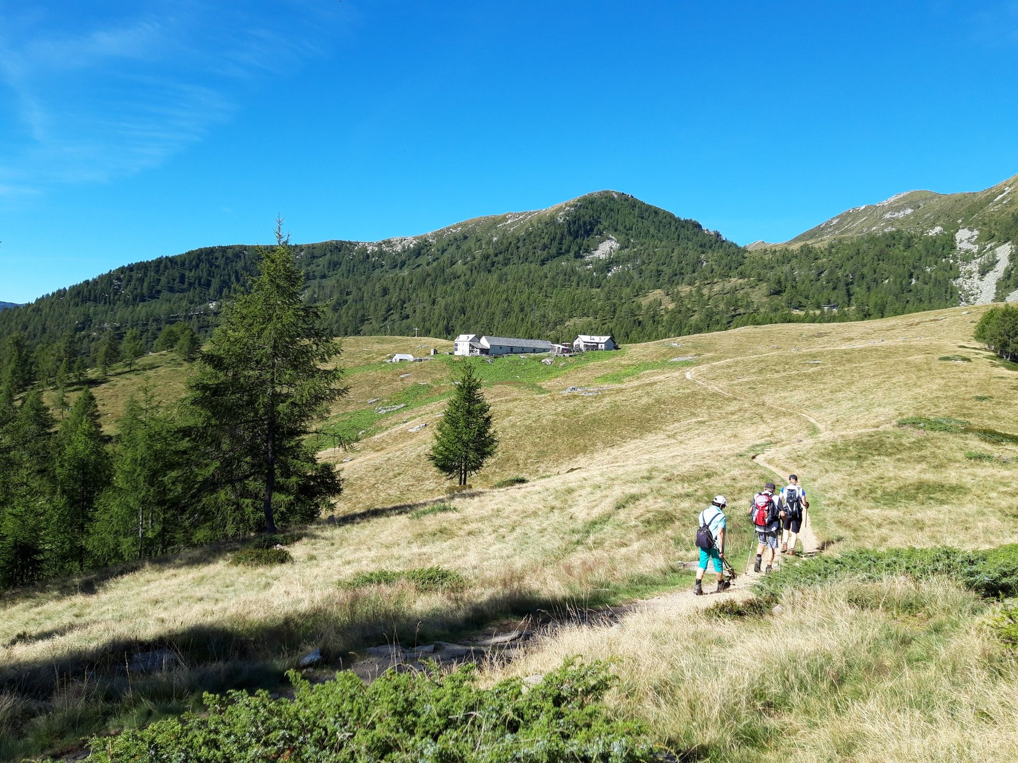
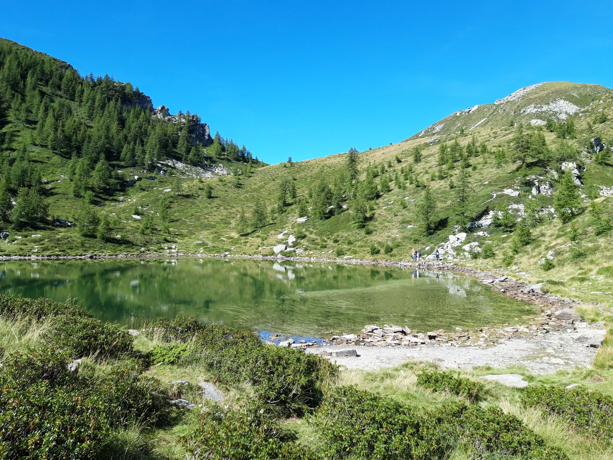
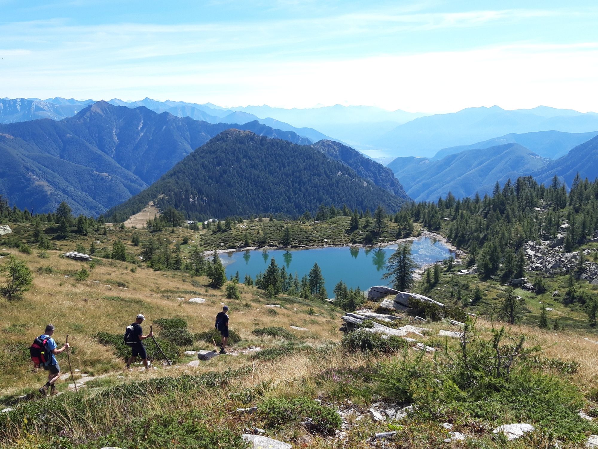
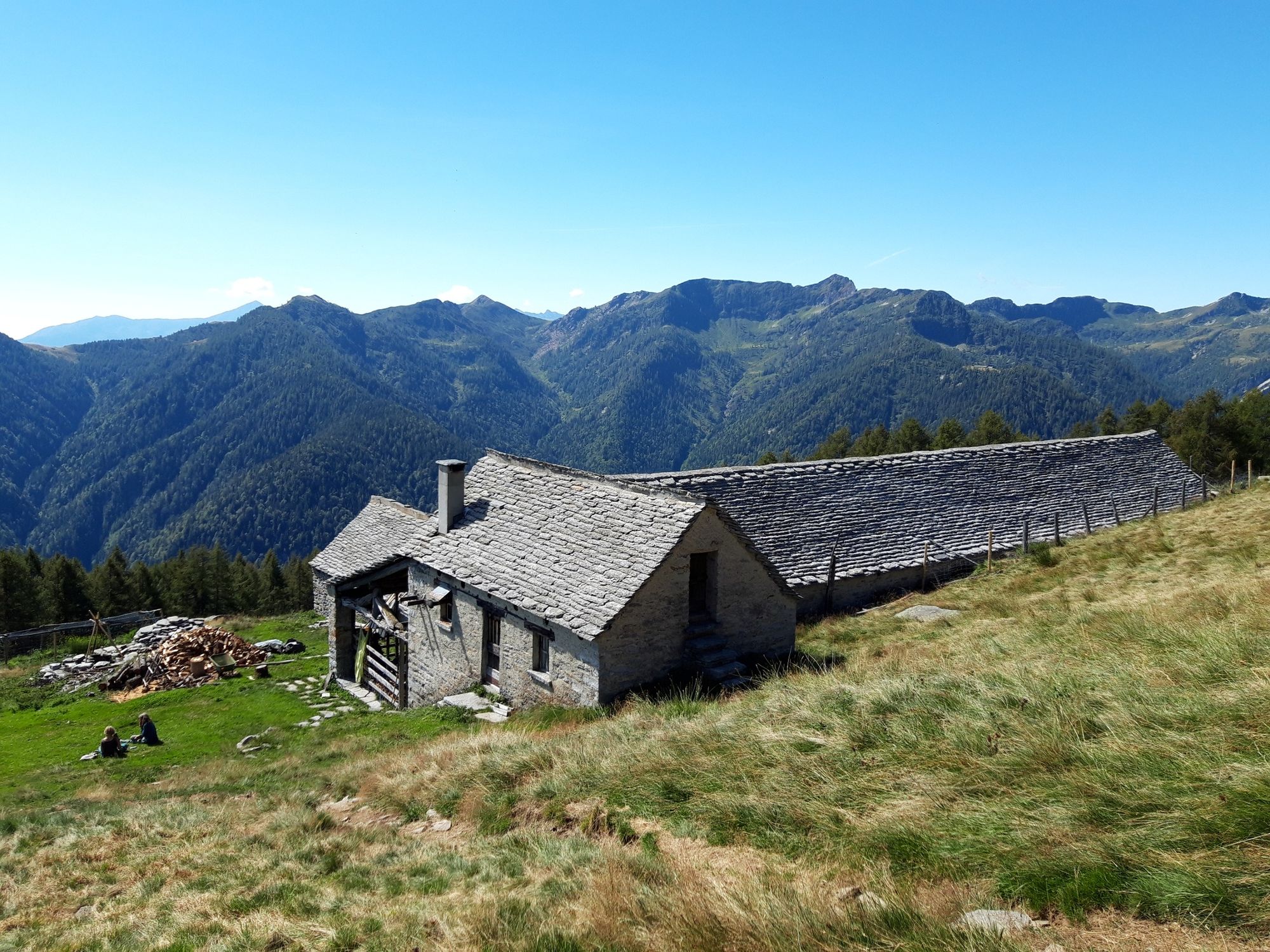
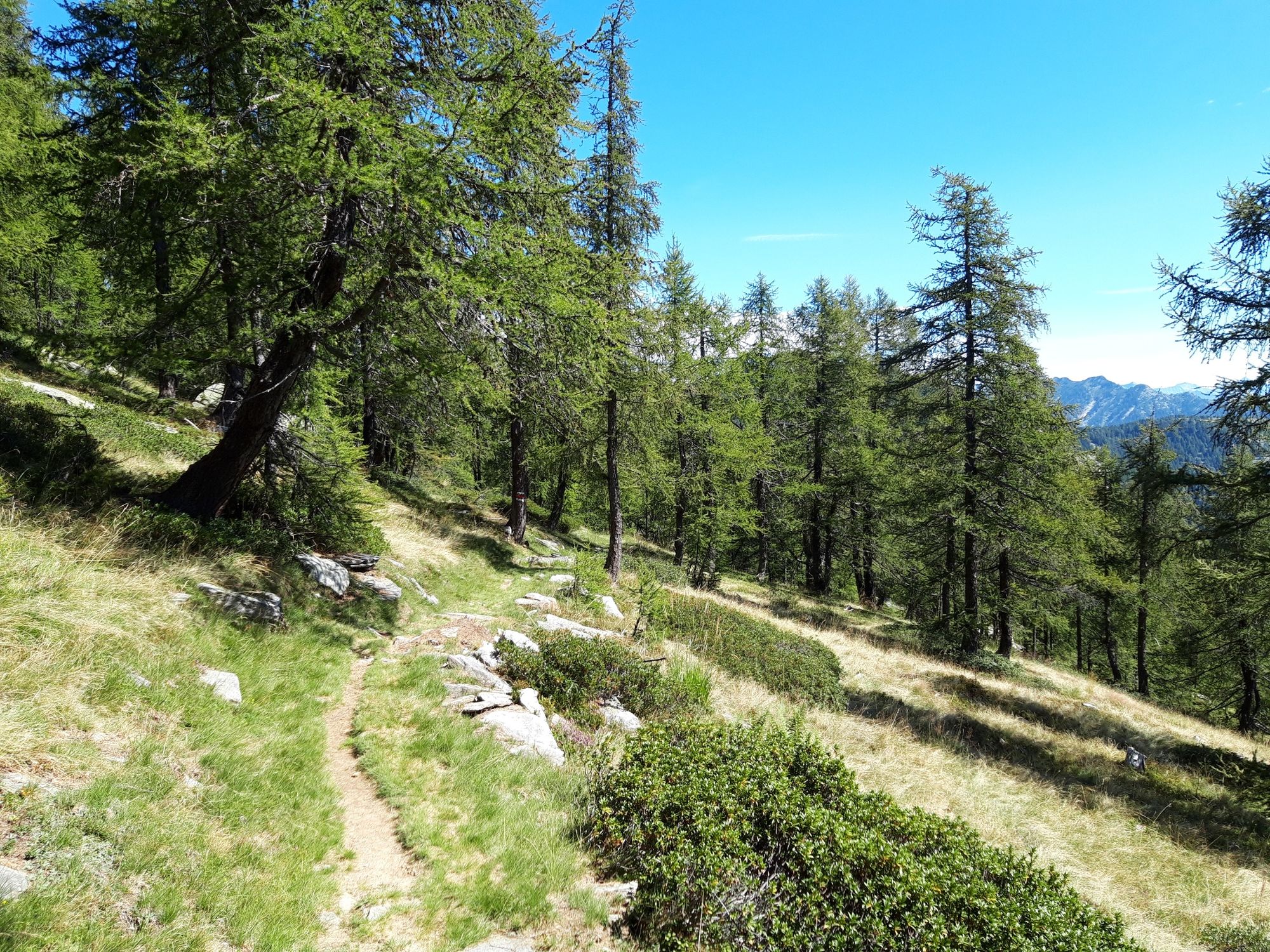
Cup-marked stones in Ligünc, the Pizzo Zucchero and Salei Lake.
- Teškoća
-
srednje
- Vrednovanje
-
- Wegverlauf
-
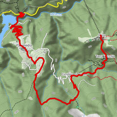
Comologno (1.085 m)Chiesa di San Giovanni BattistaLigunc1,1 kmPiani della Galera2,7 kmCapanna Alpe Saléi (1.777 m)3,6 kmAlpe Salèi3,8 kmPizzo Zucchero (1.899 m)4,9 kmCapanna Alpe Saléi (1.777 m)6,3 kmAl Piègn di Cunch7,8 kmPiani della Galera10,6 kmLigunc12,3 kmComologno (1.085 m)13,4 kmChiesa di San Giovanni Battista13,4 km
- Beste Jahreszeit
-
sijveljožutrasvilipsrpkolrujlisstupro
- Höchster Punkt
- 1.971 m
- Zielpunkt
-
Comologno
- Höhenprofil
-
 © outdooractive.com

-
-
AutorDie Tour Centres of energy in the Valle Onsernone wird von outdooractive.com bereitgestellt.
GPS Downloads
Weitere Touren in den Regionen