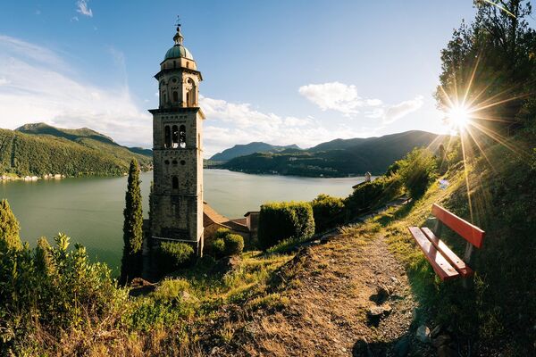
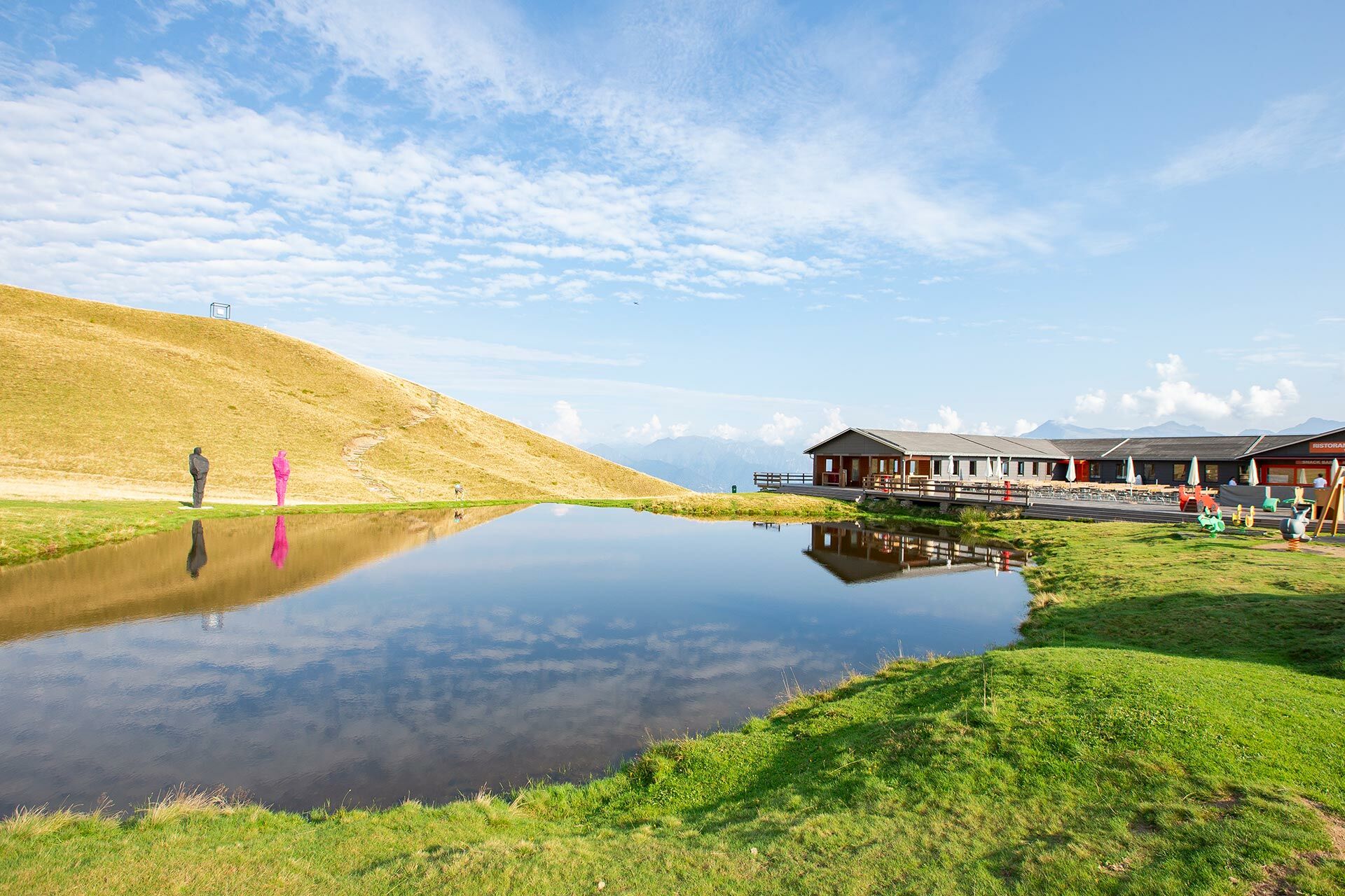
© Lugano Region - All rights reserved – Davide Adamoli

© Lugano Region - All rights reserved – Davide Adamoli

© Lugano Region - All rights reserved – Davide Adamoli

© Lugano Region - All rights reserved – Davide Adamoli

© Lugano Region - All rights reserved – Davide Adamoli

© Lugano Region - All rights reserved – Davide Adamoli

© Lugano Region - All rights reserved – Davide Adamoli

© Lugano Region - All rights reserved – Davide Adamoli

© Lugano Region - All rights reserved – Davide Adamoli

© Lugano Region - All rights reserved – Davide Adamoli

- Kratak opis
-
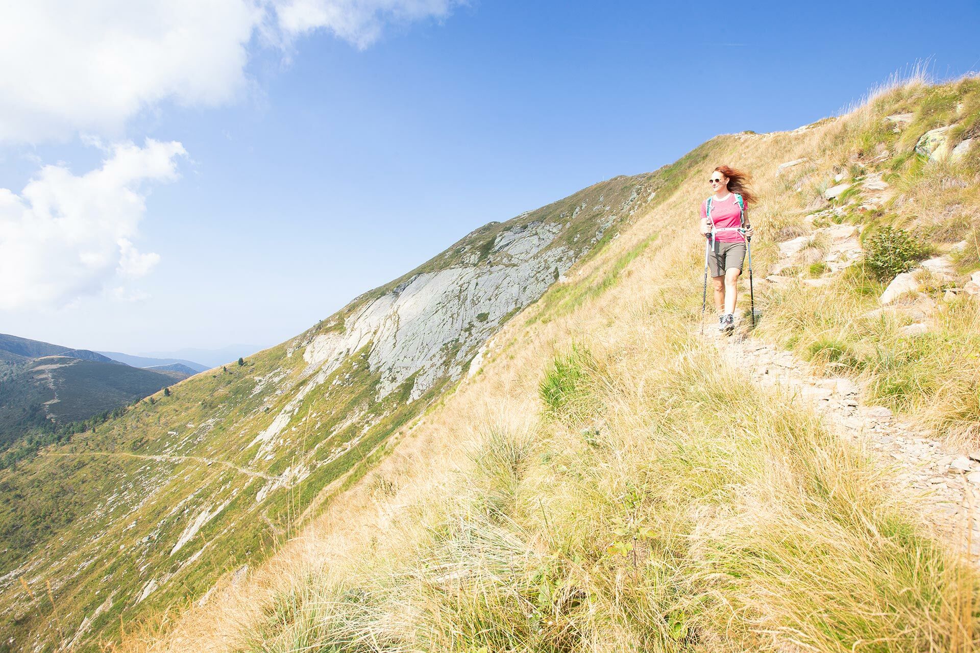
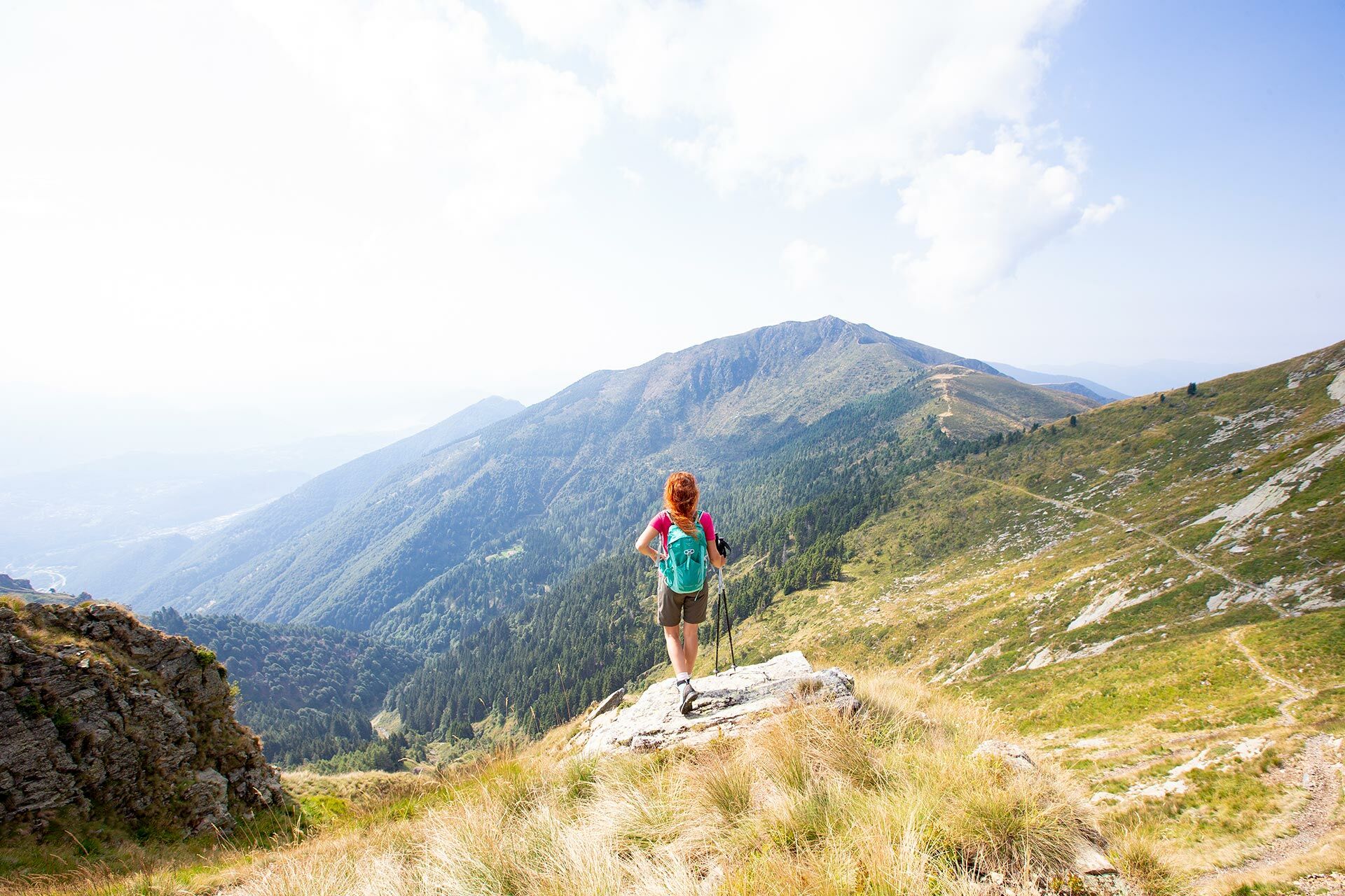
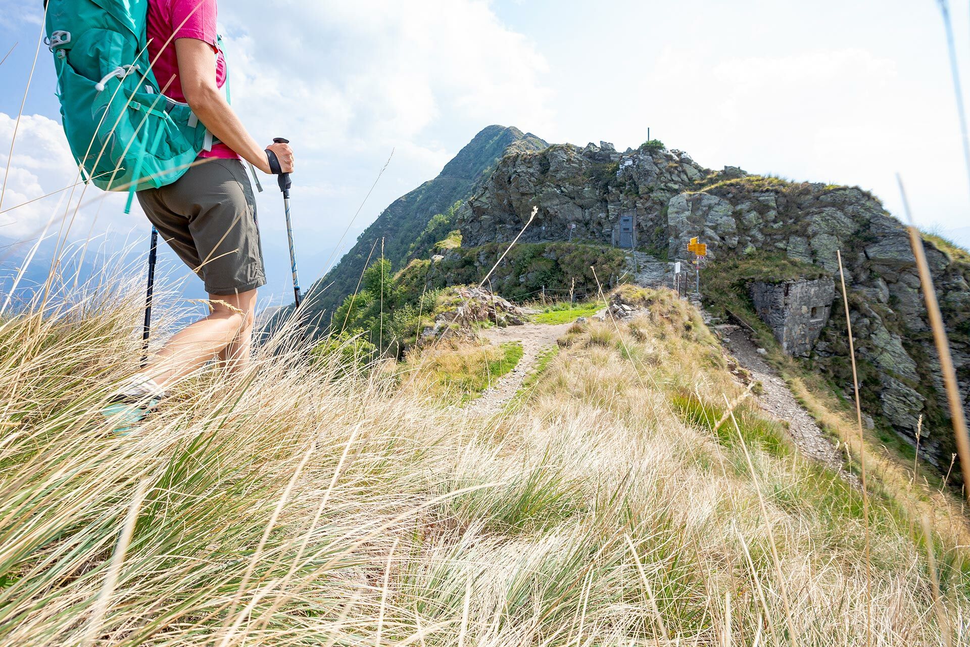
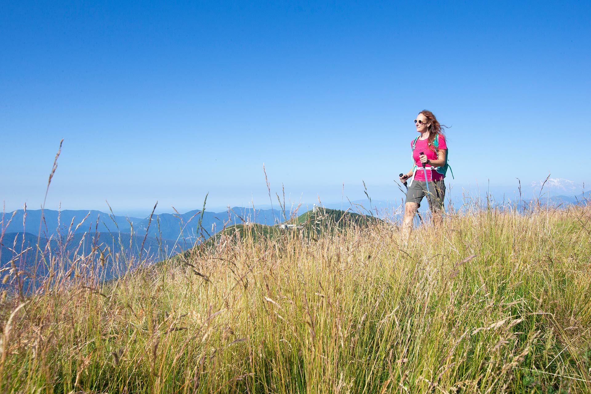
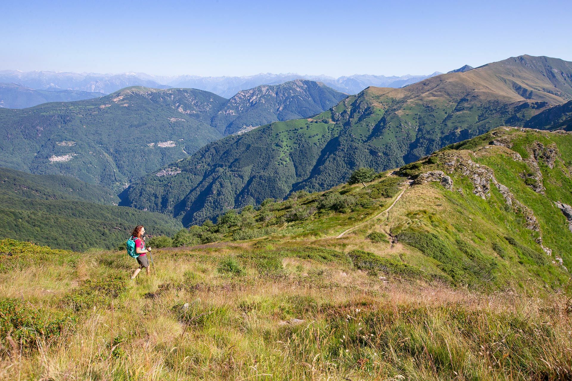
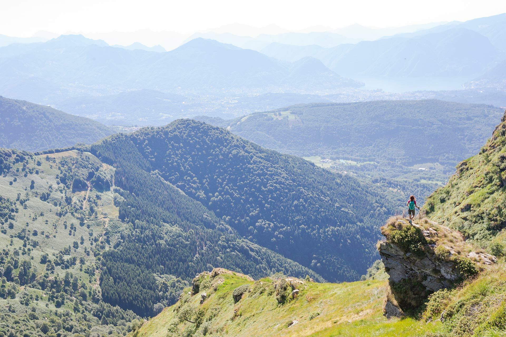
This pre-alpine crossing is one of the most renowned and astounding excursions in the Swiss Pre-Alps and is located in an area overlooking both Switzerland and Italy.
- Teškoća
-
teška
- Vrednovanje
-
- Wegverlauf
-
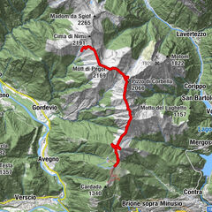
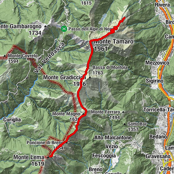
La Manèra (1.858 m)2,2 kmCapanna Tamaro2,5 kmMotto Rotondo (1.928 m)3,0 kmMonte Tamaro (1.961 m)3,9 kmBassa di Indemini (1.723 m)4,7 kmBassa di Montoia (1.763 m)5,8 kmPianoni (1.768 m)7,2 kmMonte Pola (1.742 m)7,5 kmBivacco Alpe Agario8,5 kmPasso d'Agario (1.552 m)8,6 kmMonte Magno (1.636 m)9,2 kmMonte Magino (1.589 m)9,8 kmZottone (1.569 m)10,5 kmPoncione di Breno (1.654 m)11,4 kmPiano del Poncione (1.624 m)11,7 kmMonte Lema (1.553 m)13,0 km
- Höchster Punkt
- 1.953 m
- Zielpunkt
-
Monte Lema
- Höhenprofil
-
 © outdooractive.com


-

-
AutorDie Tour The Monte Tamaro – Monte Lema Hike wird von outdooractive.com bereitgestellt.
GPS Downloads


Weitere Touren in den Regionen
-
Lago Maggiore / Lombardei
745
-
Gambarogno Riviera
592
-
Monte Tamaro
261