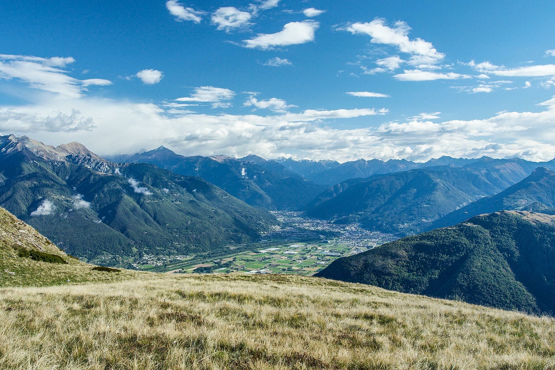
© Lugano Region - All rights reserved – Monte Tamaro

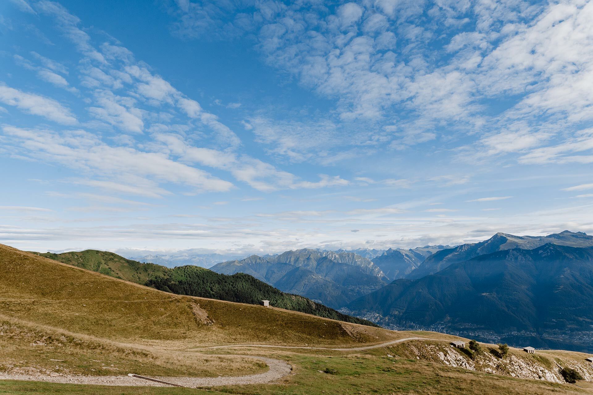
© Lugano Region - All rights reserved – Monte Tamaro

© Lugano Region - All rights reserved – Monte Tamaro

© Lugano Region - All rights reserved – Monte Tamaro

- Kratak opis
-
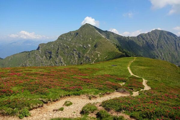
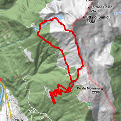
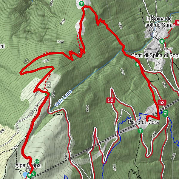
An alternative and more characteristic route to reach the intermediate station of the cable car along a path that winds largely through the forest.
- Teškoća
-
srednje
- Vrednovanje
-
- Wegverlauf
-
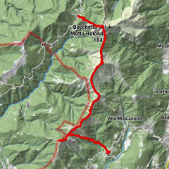
Alpe Foppa0,0 kmRistorante Alpe Foppa0,0 kmOratorio di Santa Maria degli Angeli0,0 kmA Nagra2,4 km
- Beste Jahreszeit
-
sijveljožutrasvilipsrpkolrujlisstupro
- Höchster Punkt
- 1.526 m
- Zielpunkt
-
Piano di Mora
- Höhenprofil
-
 © outdooractive.com
-

-
AutorDie Tour Alpe Foppa – Nágra – Piano di Mora wird von outdooractive.com bereitgestellt.
GPS Downloads


Opće informacije
Einkehrmöglichkeit
Weitere Touren in den Regionen
-
Lago Maggiore / Lombardei
745
-
Gambarogno Riviera
592
-
Monte Tamaro
261