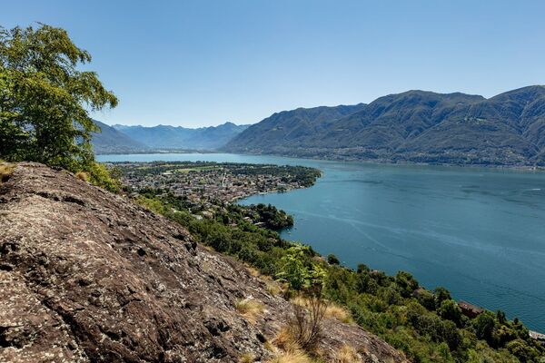
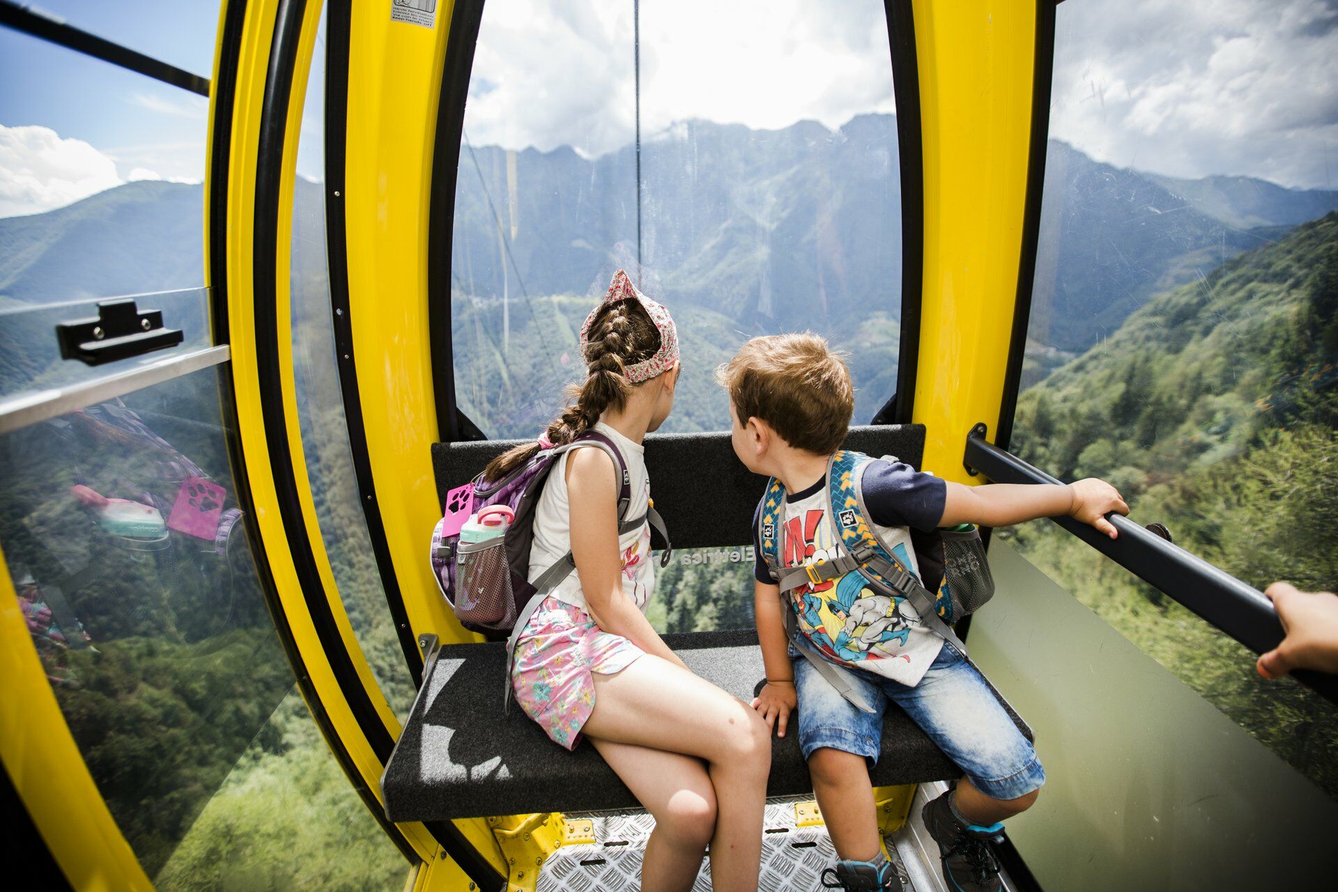
© Lago Maggiore e Valli - Mariano Berri

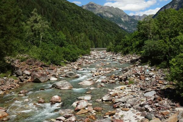
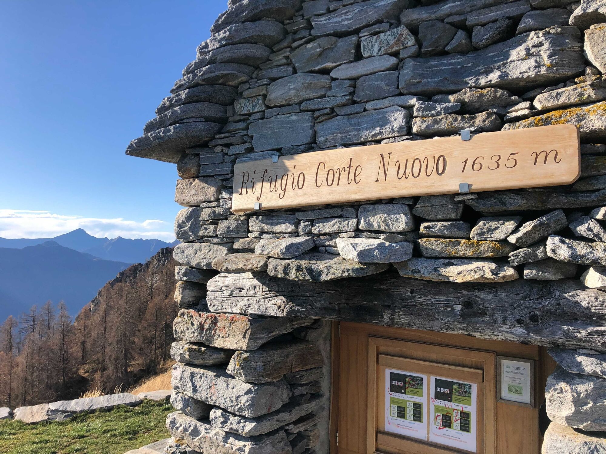
© Lago Maggiore e Valli - Wim Kempenaers

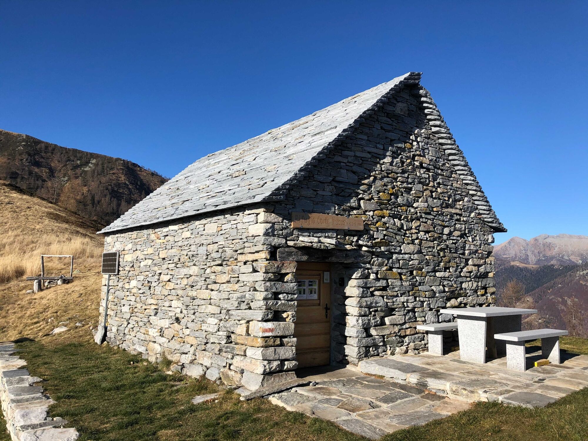
© Lago Maggiore e Valli - Mariano Berri

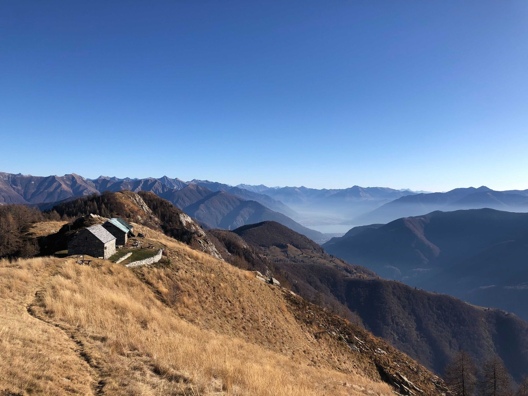
© Lago Maggiore e Valli - Mariano Berri


- Kratak opis
-
Panoramic hike from Centovalli into the wild and romantic Onsernone Valley. Up and down through enchanting landscapes and the impressive Onsernone forest reserve.
- Teškoća
-
srednje
- Vrednovanje
-
- Wegverlauf
-
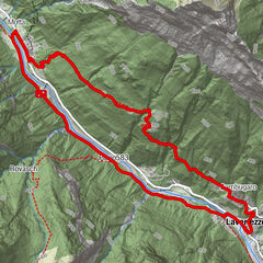
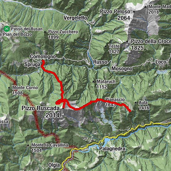
Ristorante Grotto “Alla Capanna”0,2 kmMonte di Comino0,3 kmCa del Ferraio0,4 kmMadonna della Segna0,8 kmPizzin (1.510 m)1,9 kmPianascio (1.643 m)2,4 kmPescia Lunga (1.511 m)3,1 kmPizzo Ruscada (2.014 m)6,2 kmCappellone (1.879 m)6,8 kmMuriscioli8,5 kmCima Pellosa9,1 kmChiesa di San Giovanni Battista11,7 kmComologno (1.085 m)11,7 km
- Beste Jahreszeit
-
sijveljožutrasvilipsrpkolrujlisstupro
- Höchster Punkt
- 1.990 m
- Zielpunkt
-
Comologno
- Höhenprofil
-
 © outdooractive.com
-

-
AutorDie Tour Monte Comino-Comologno wird von outdooractive.com bereitgestellt.
GPS Downloads


Opće informacije
Aussichtsreich
Weitere Touren in den Regionen