


- Kratak opis
-
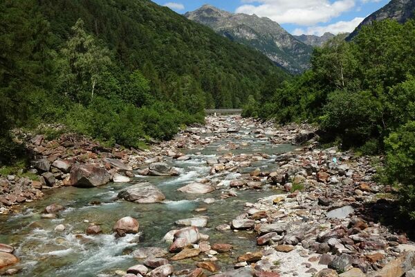
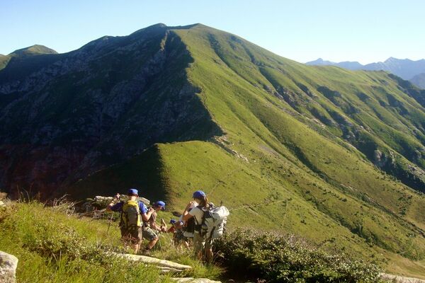
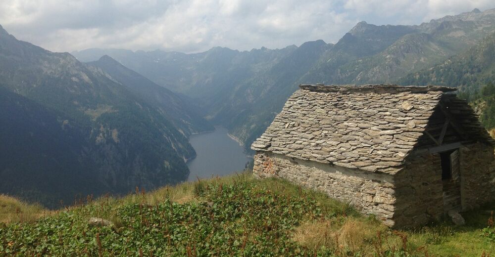
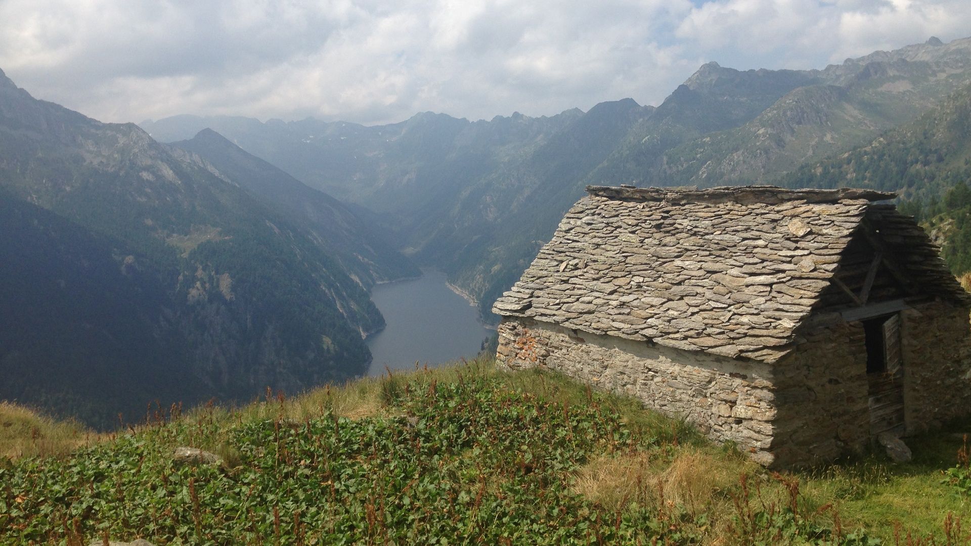
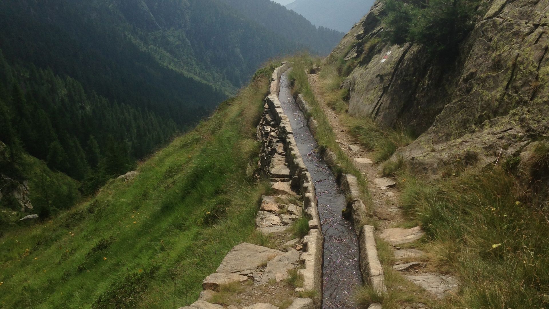
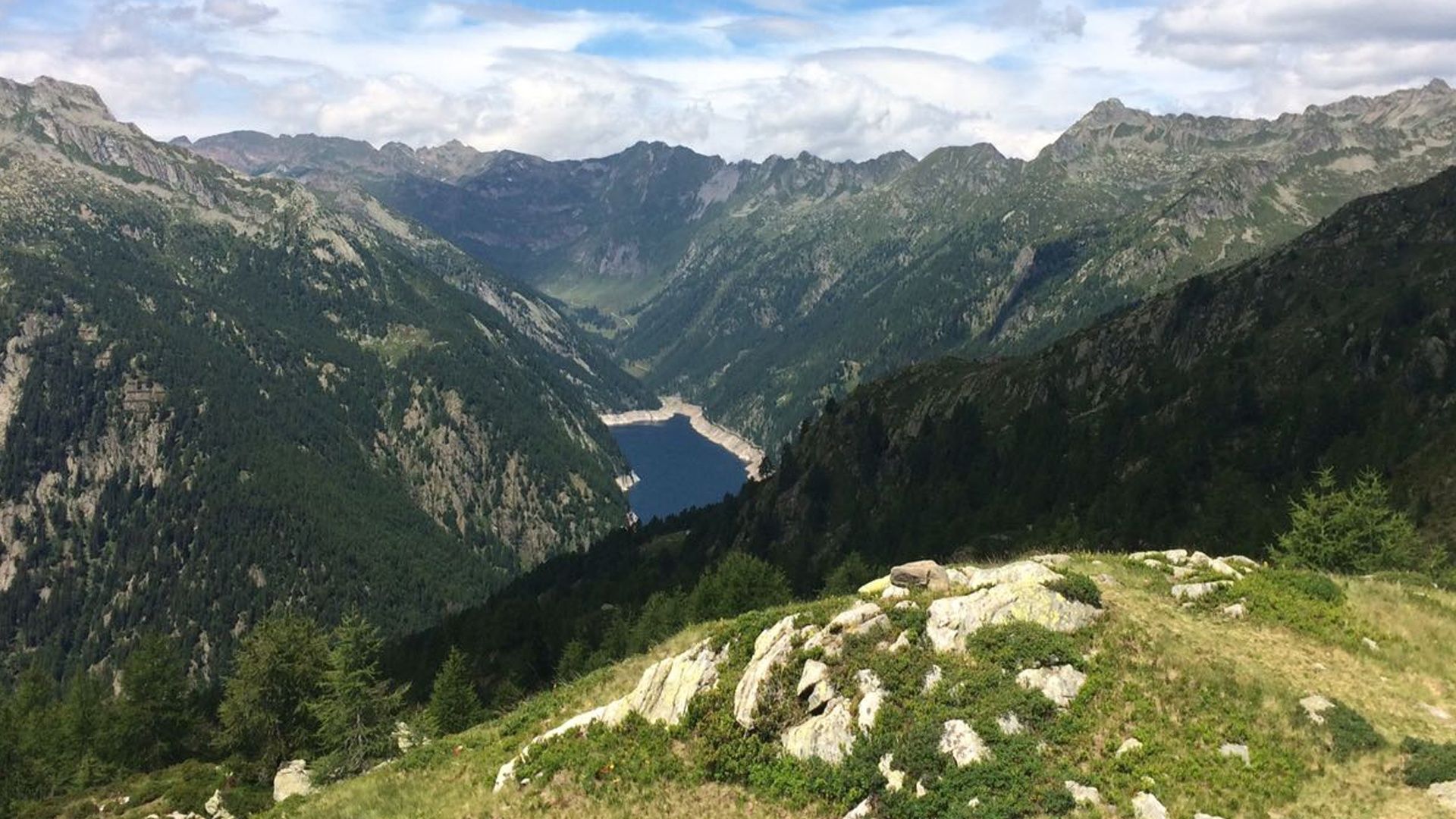
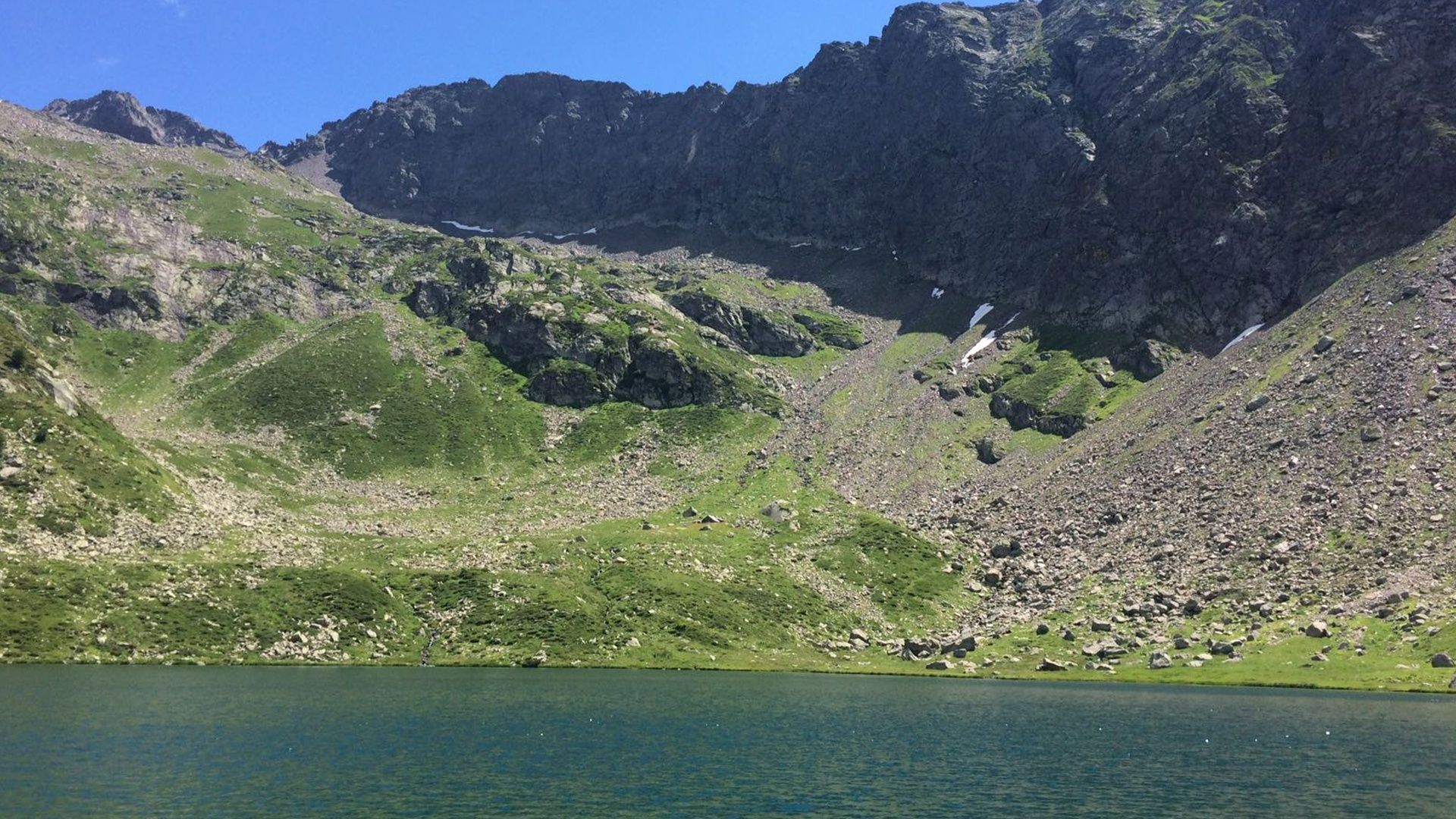
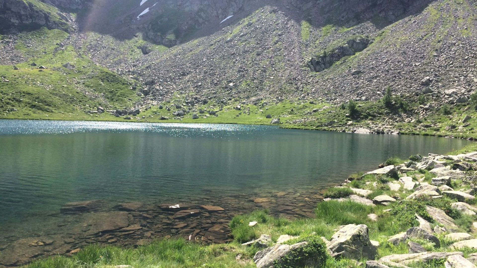
Necessity is the mother of invention. An instructive outing to the Acquedotto Canà irrigation channels and sparkling Lake Mognola.
- Teškoća
-
srednje
- Vrednovanje
-
- Wegverlauf
-
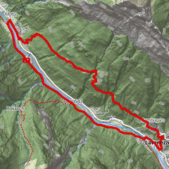
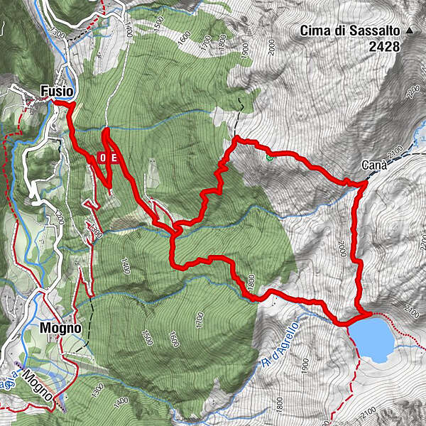
Fusio (1.289 m)Fusio (1.289 m)8,8 km
- Beste Jahreszeit
-
sijveljožutrasvilipsrpkolrujlisstupro
- Höchster Punkt
- 2.075 m
- Zielpunkt
-
Fusio
- Höhenprofil
-
 © outdooractive.com
- Autor
-
Die Tour Fusio-Lago Mognola-Fusio wird von outdooractive.com bereitgestellt.
GPS Downloads


Opće informacije
Kulturell/Historisch
Flora
Fauna
Aussichtsreich
Weitere Touren in den Regionen
-
Lavizzaratal
404
-
Airolo
121