© Lago Maggiore e Valli - Alessio Pizzicannella

© Lago Maggiore e Valli - Alessio Pizzicannella

© Lago Maggiore e Valli - Alessio Pizzicannella


- Kratak opis
-
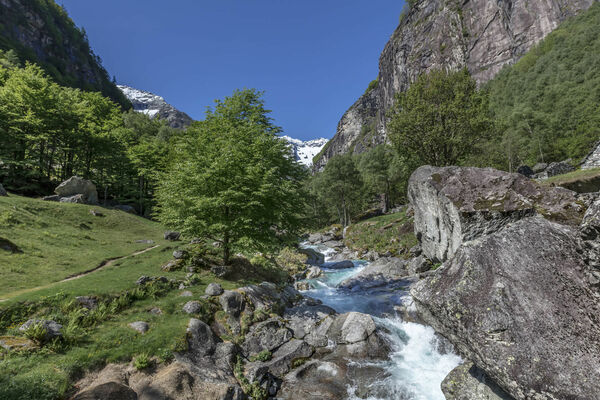
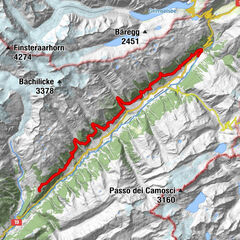
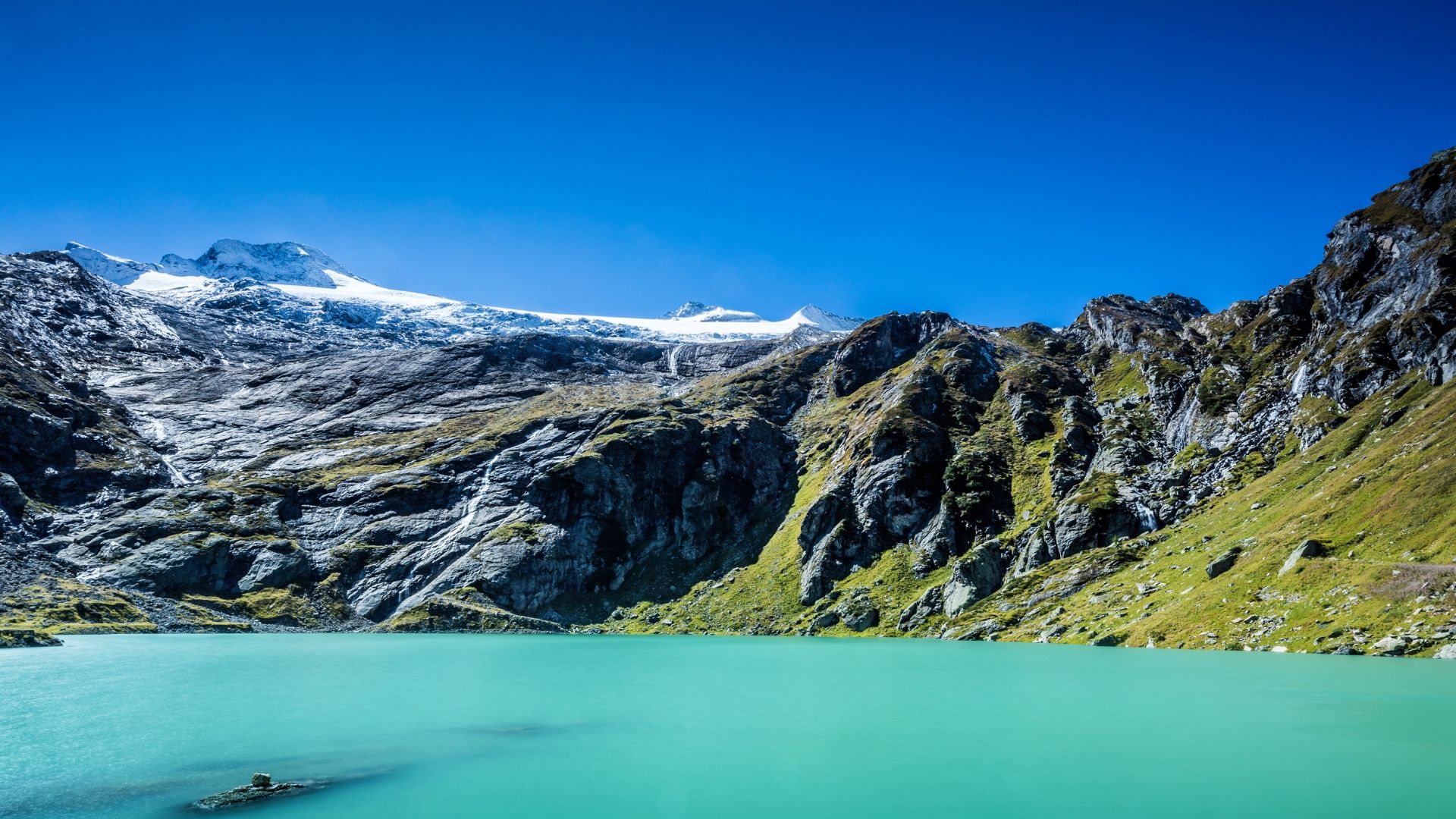
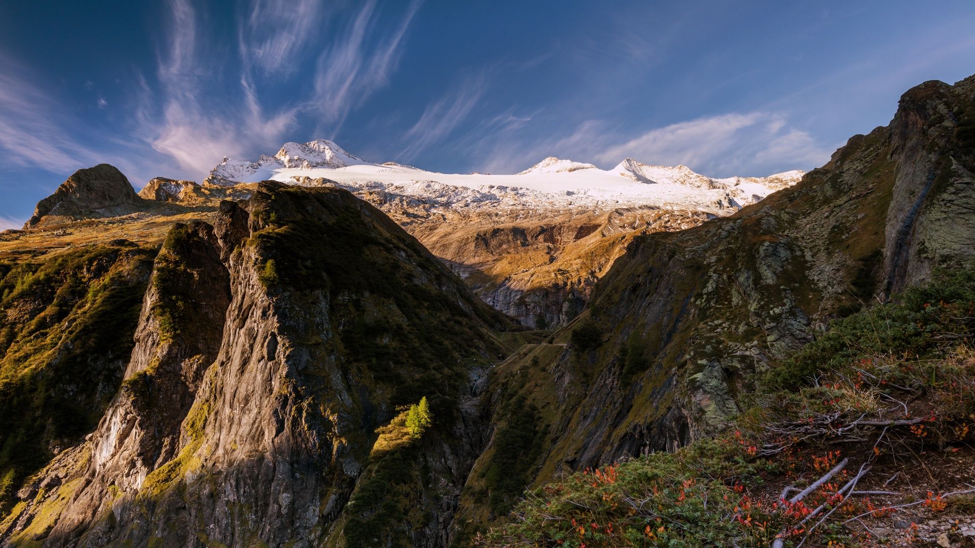
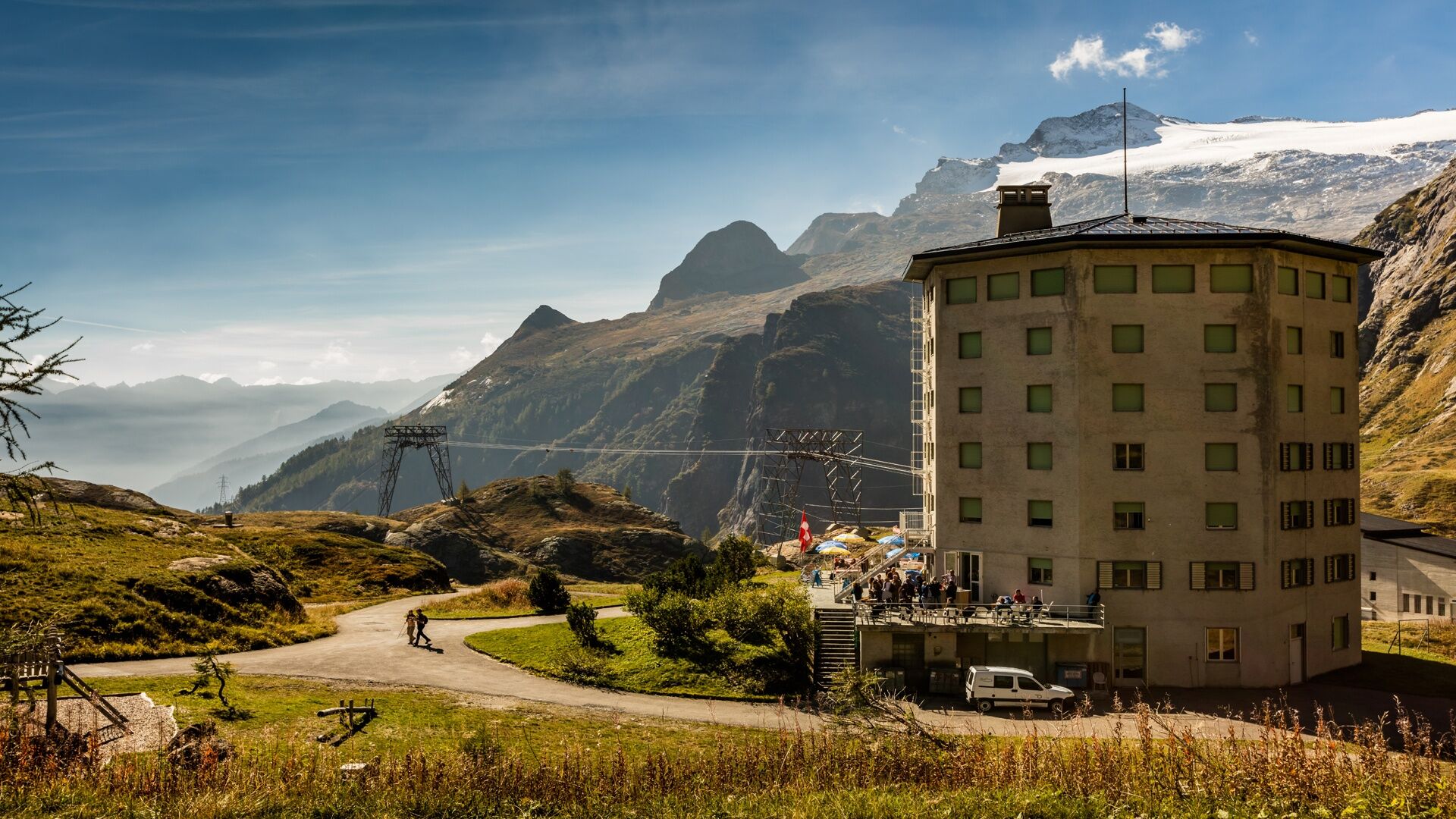
Glacier path on the flank of the Basòdino, the highest mountain and glacier in the Ticino Alps. A journey into the distant past.
- Teškoća
-
srednje
- Vrednovanje
-
- Wegverlauf
-
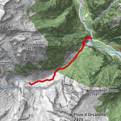
Mött di Crusei6,0 km
- Beste Jahreszeit
-
sijveljožutrasvilipsrpkolrujlisstupro
- Höchster Punkt
- 2.418 m
- Zielpunkt
-
Robièi
- Höhenprofil
-
 © outdooractive.com
- Autor
-
Die Tour Glacier path wird von outdooractive.com bereitgestellt.
GPS Downloads


Opće informacije
Kulturell/Historisch
Flora
Fauna
Aussichtsreich
Weitere Touren in den Regionen
-
Aletsch Arena
1485
-
Bavonatal
393
-
Bedretto
95