
- Kratak opis
-
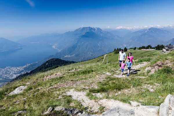
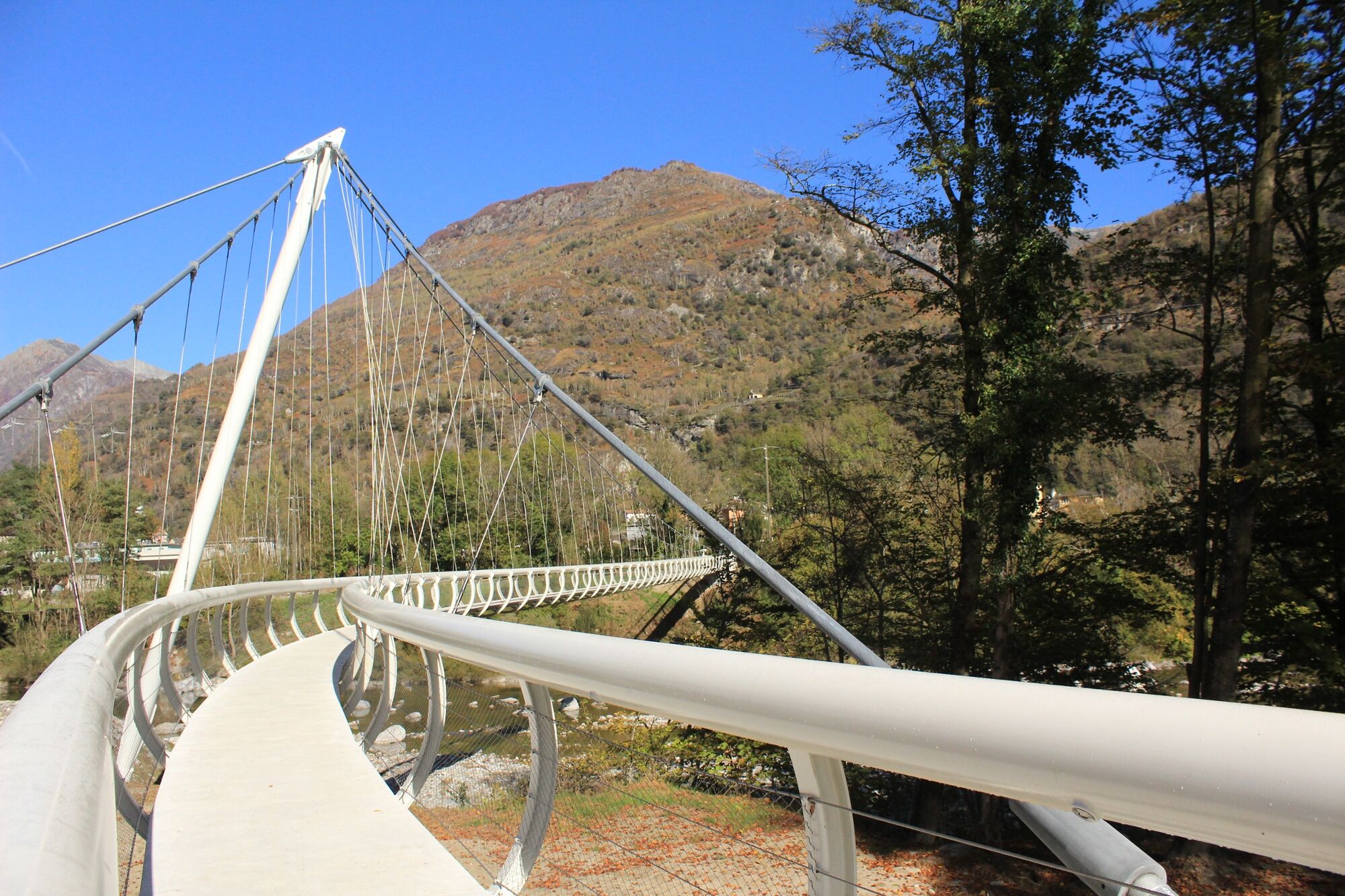
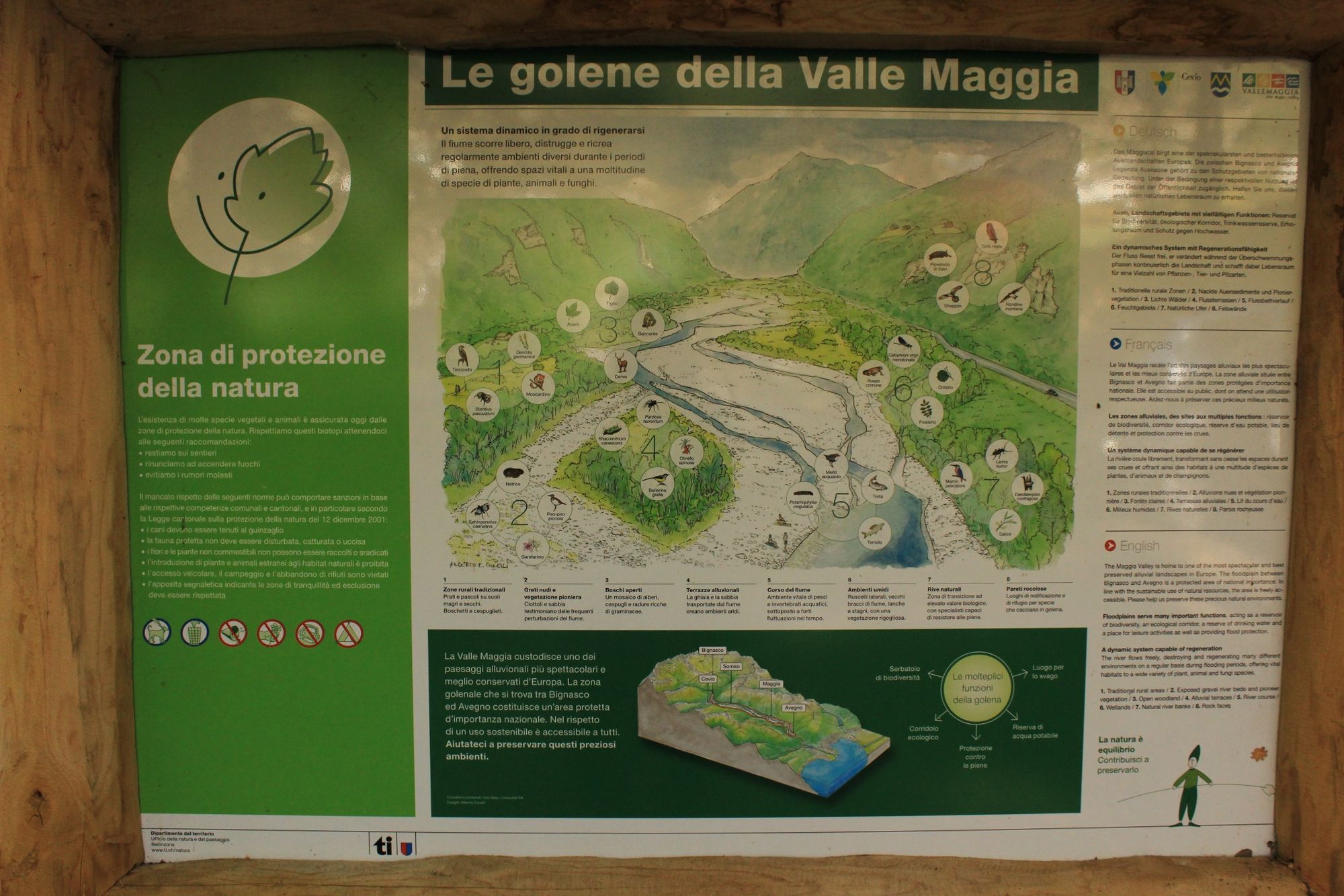
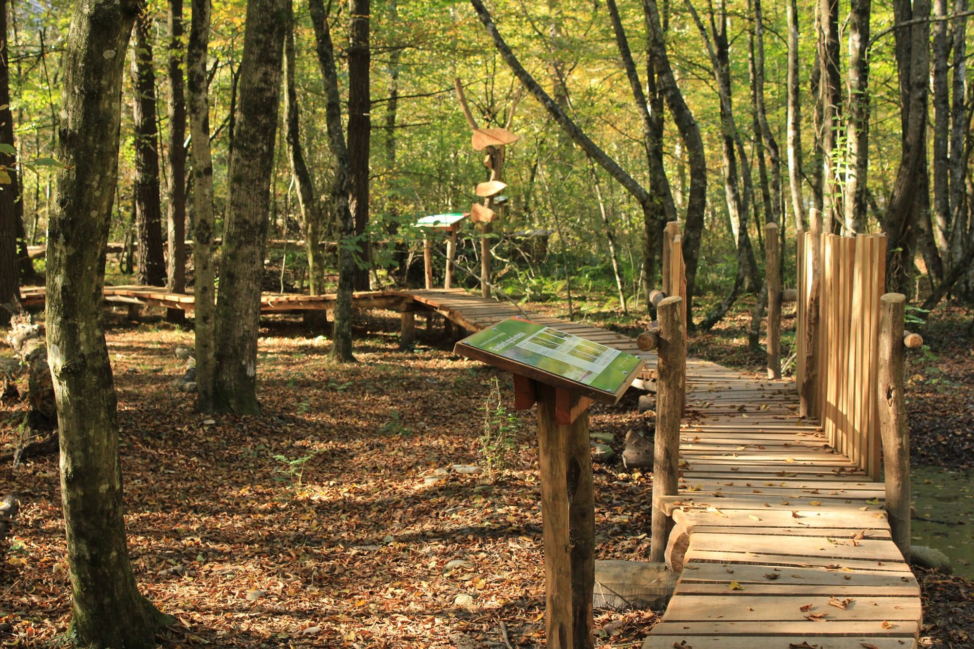
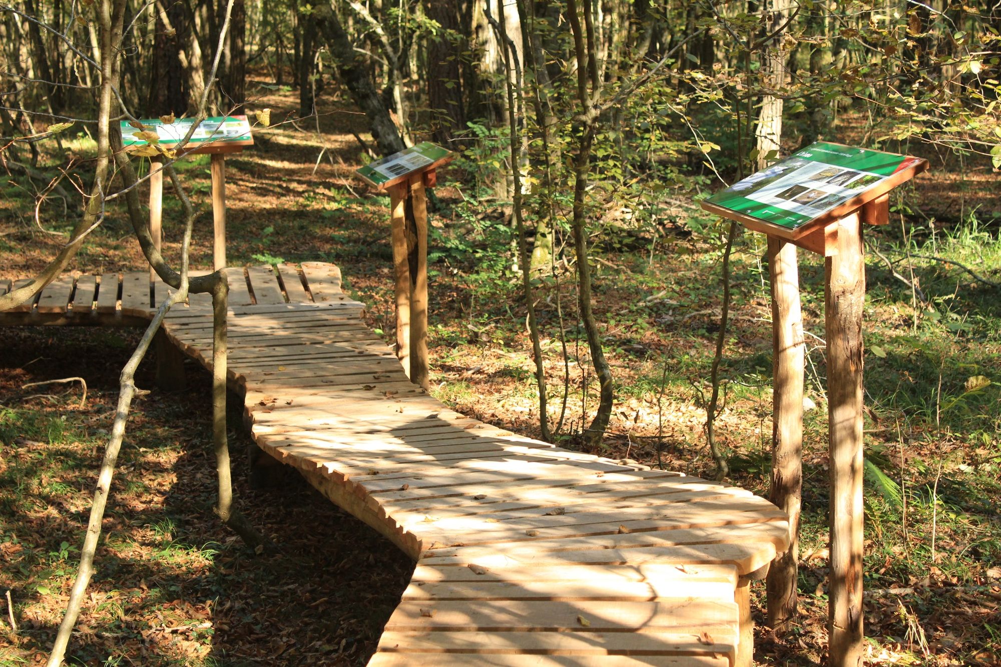
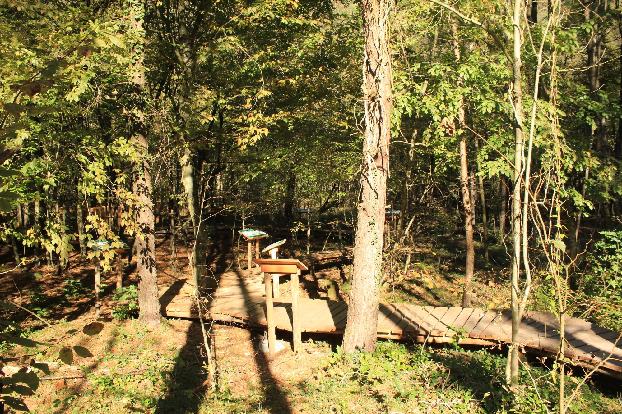
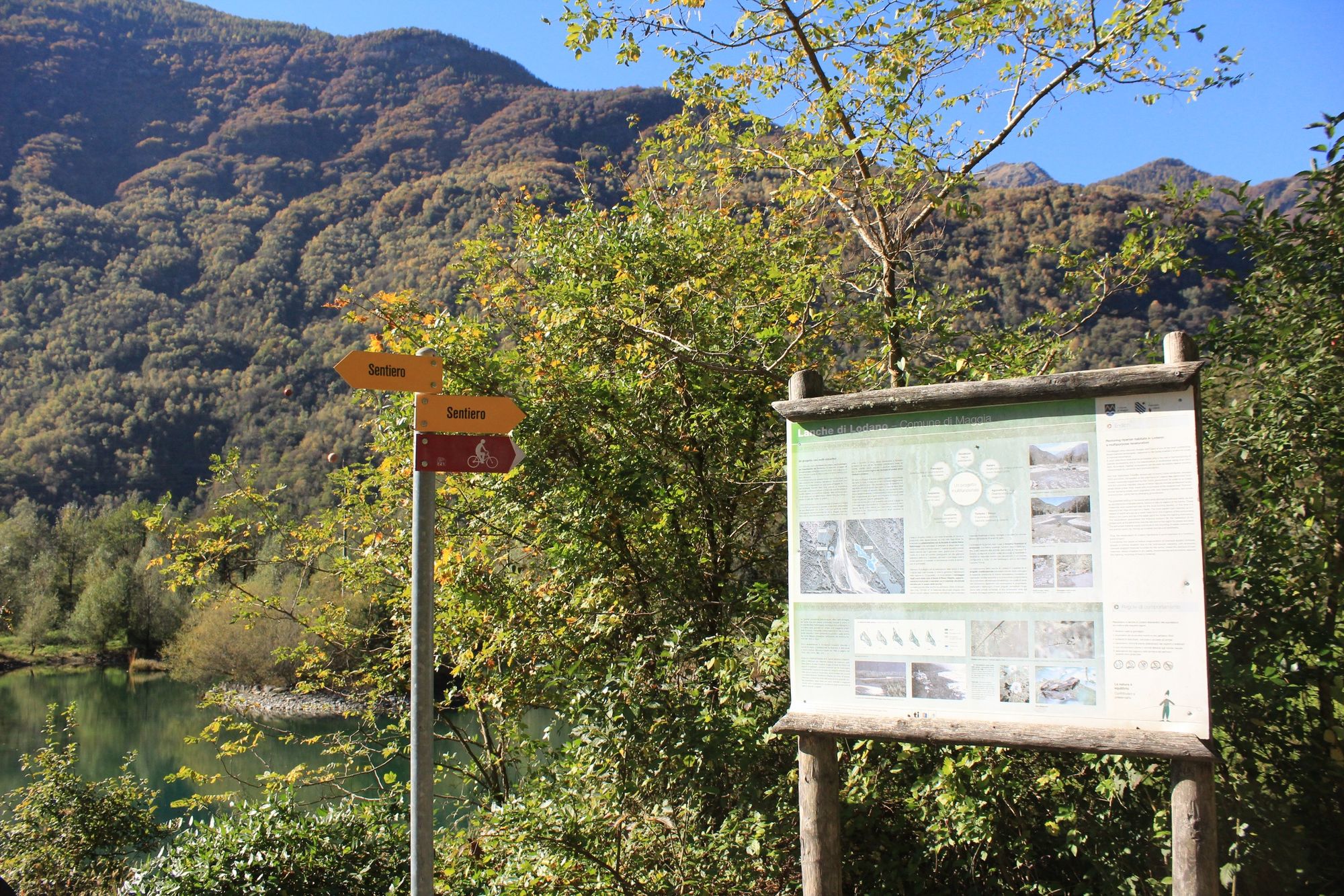
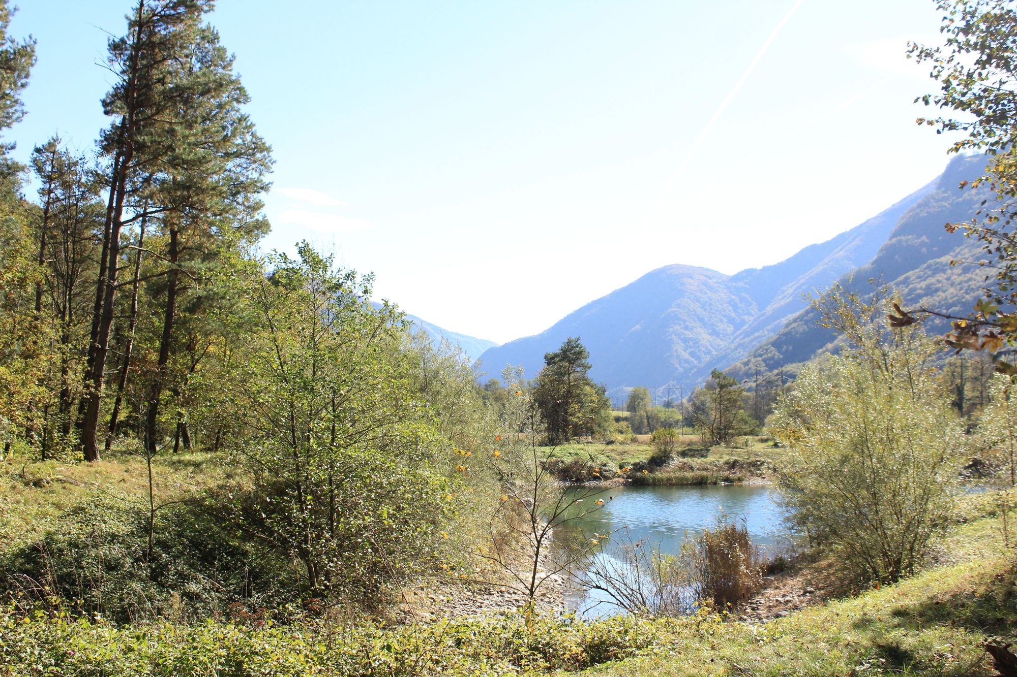
An all-season walk along the Maggia river. Discover the flora and fauna of the Vallemaggia.
- Teškoća
-
lagano
- Vrednovanje
-
- Wegverlauf
-
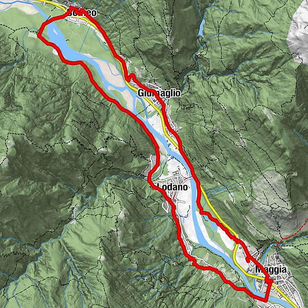
Maggia (372 m)Pizzeria Ristorante Quadrifoglio0,0 kmMoghegno (319 m)0,4 kmLa Ci’apa di Banard’ill1,1 kmLairè1,3 kmAl Todèsc'2,0 kmTorn2,2 kmOsteria Cramalina3,1 kmLodano (345 m)3,4 kmSomeo (366 m)8,1 kmLa alzasca8,2 kmChiesa parrocchiale dei Santi Placido ed Eustachio8,8 kmGiumaglio (377 m)11,0 kmCoglio (357 m)11,6 kmLodano (345 m)12,2 kmChiesa di San Maurizio14,8 kmMaggia (372 m)15,1 kmMoghegno (319 m)15,3 kmPizzeria Ristorante Quadrifoglio15,5 km
- Beste Jahreszeit
-
sijveljožutrasvilipsrpkolrujlisstupro
- Höchster Punkt
- 401 m
- Zielpunkt
-
Maggia
- Höhenprofil
-
 © outdooractive.com


- Autor
-
Die Tour Maggia-Someo-Maggia wird von outdooractive.com bereitgestellt.
GPS Downloads


Opće informacije
Einkehrmöglichkeit
Kulturell/Historisch
Flora
Fauna
Weitere Touren in den Regionen
-
Lago Maggiore / Lombardei
745
-
Vallemaggia
501
-
Maggia TI
175