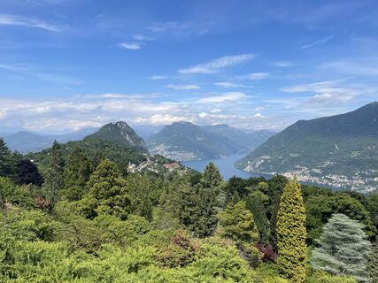
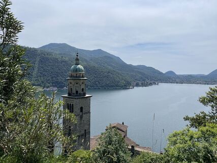
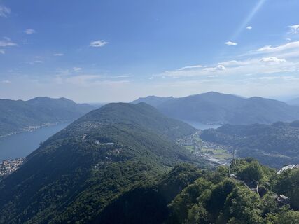
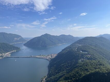
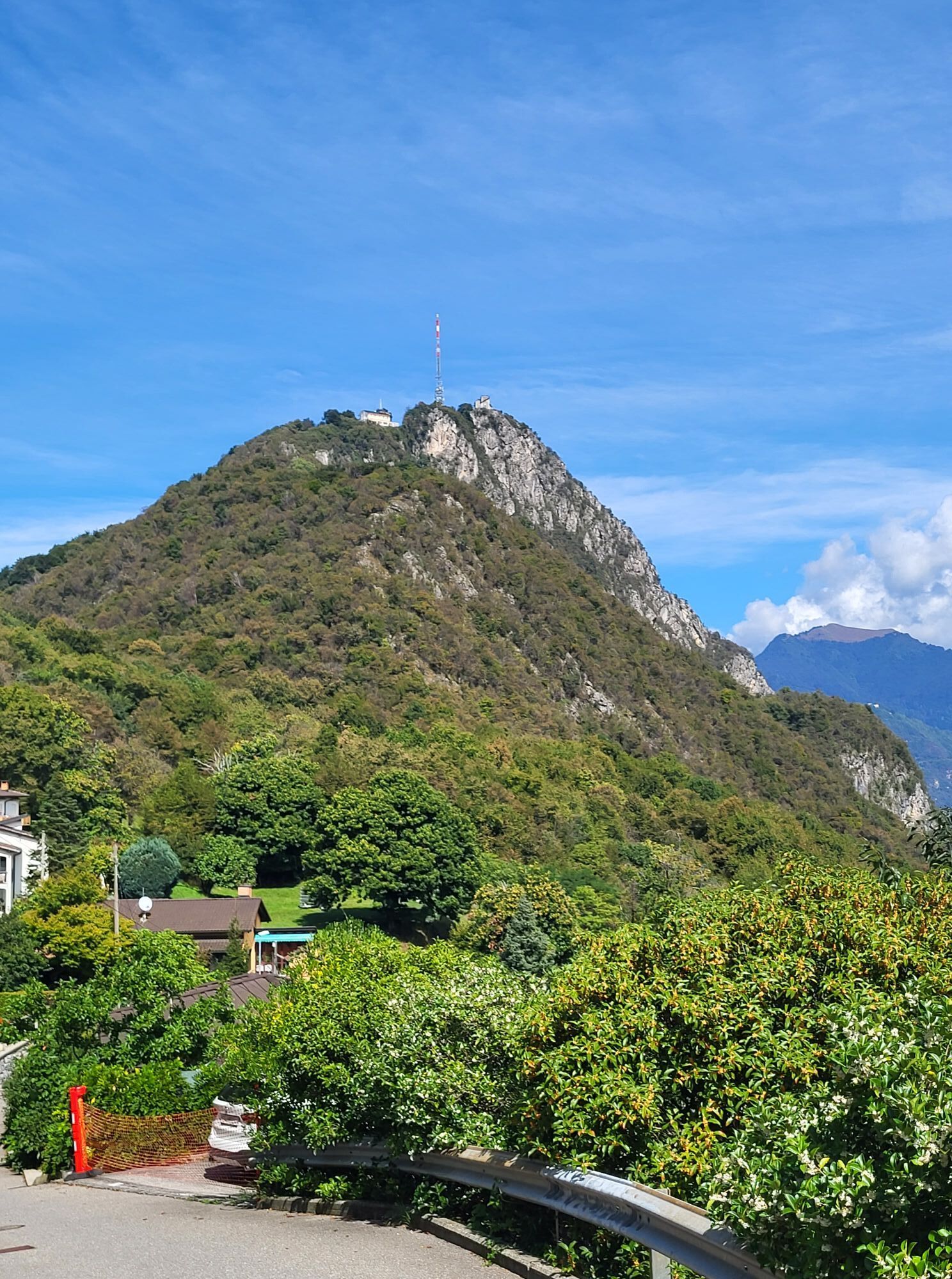
Monte San Salvatore - Oratorio di Sant'Antonio da Padova - Lugano - Morcote
light
Navigate
Navigate
Get this tour on your mobile
Monte San Salvatore - Oratorio di Sant'Antonio da Padova - Lugano - Morcote
light
Pješačenje
9,41
km
Scan the QR code and start navigation in the bergfex app

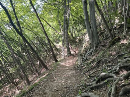
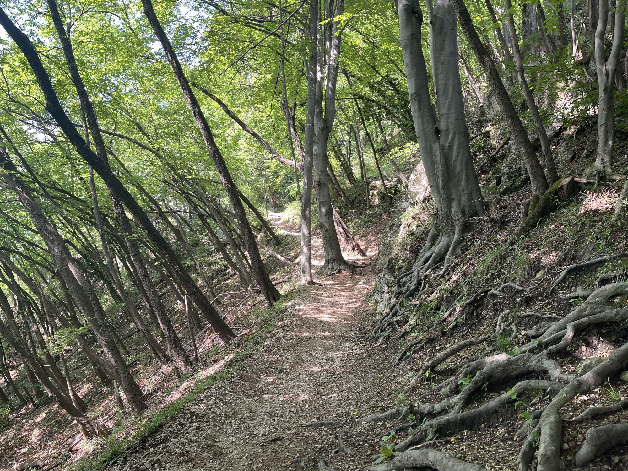
Hiking & Tracking


Distance
9,41
km
Duration
02:48
h
Ascent
116
m
Sea level
276 -
884
m
Track download
Monte San Salvatore - Oratorio di Sant'Antonio da Padova - Lugano - Morcote
light
Pješačenje
9,41
km


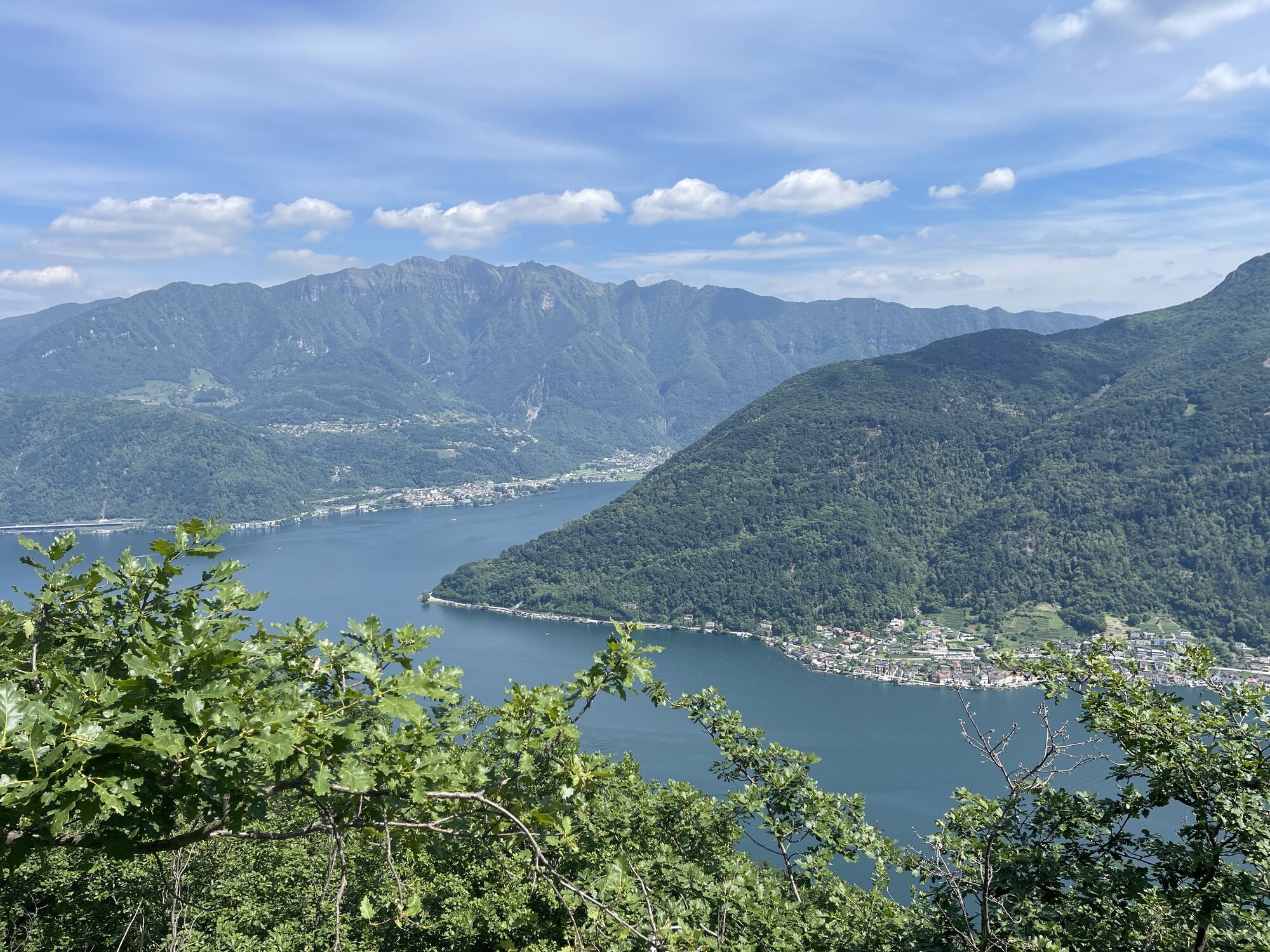
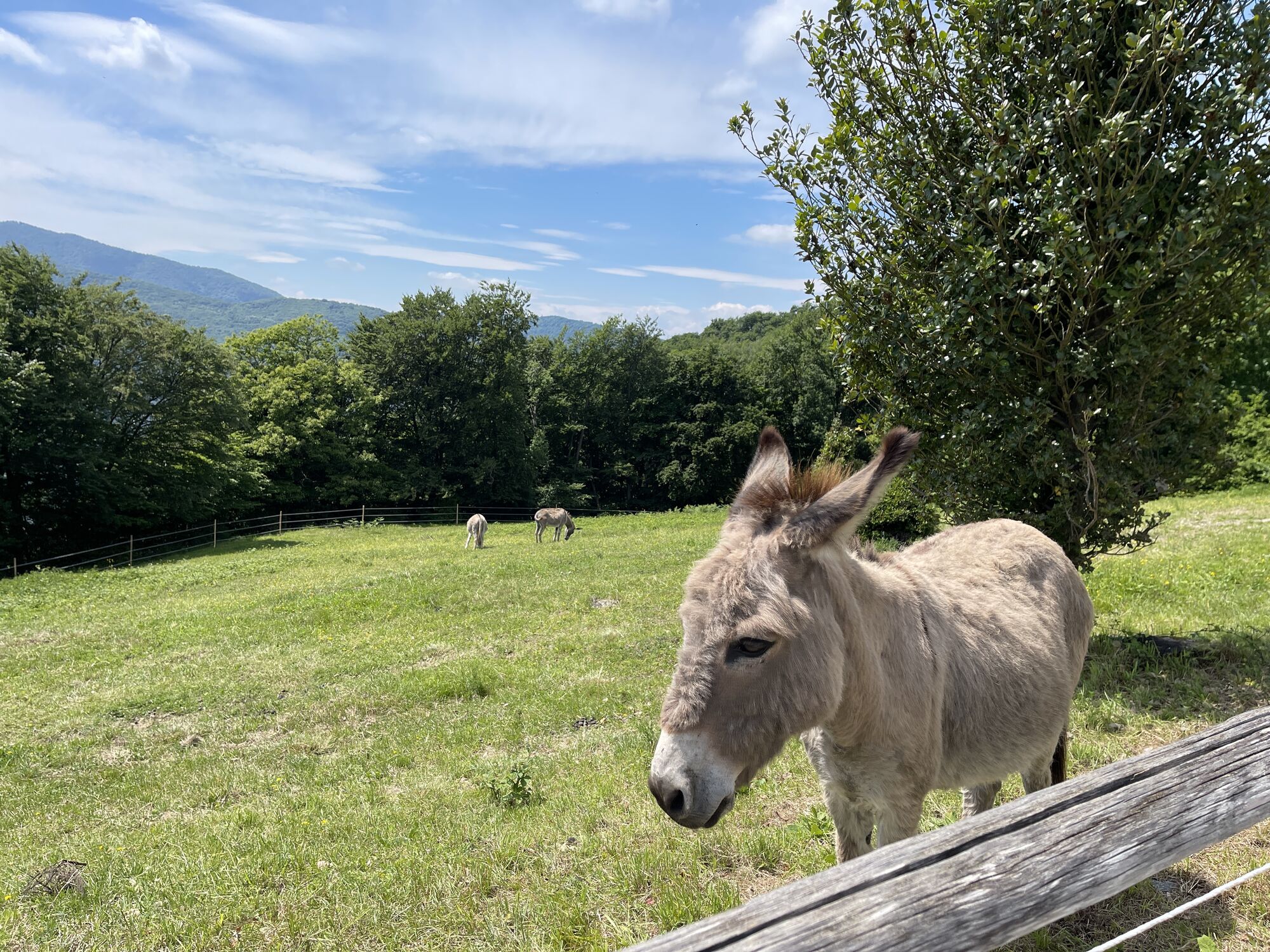
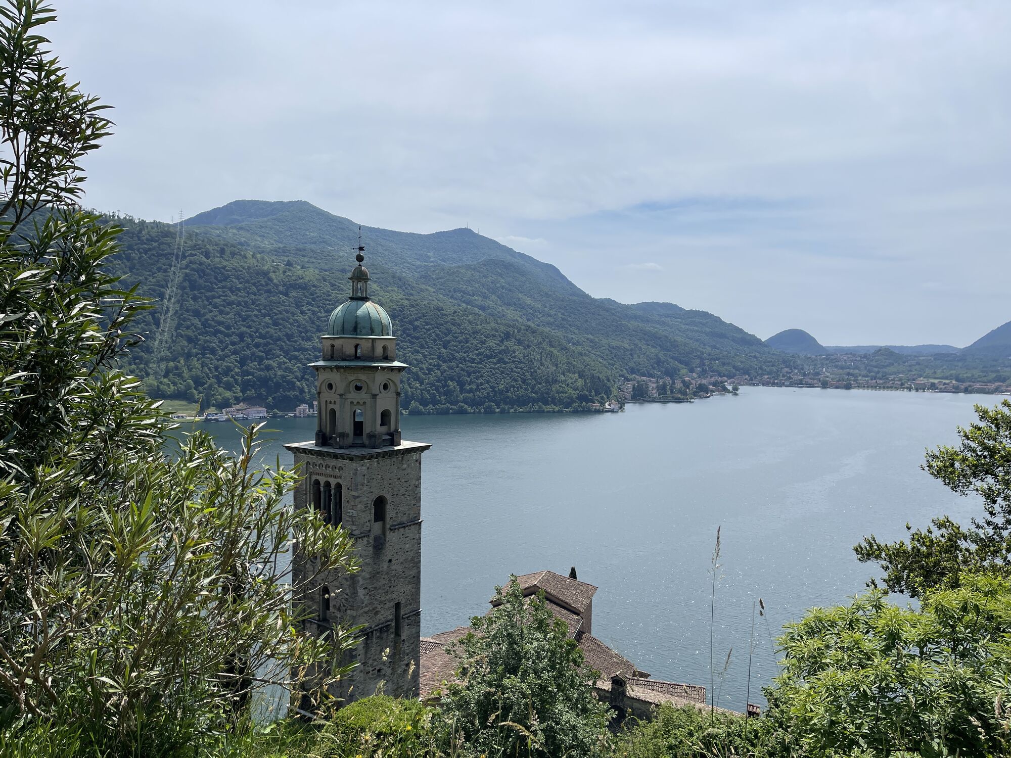
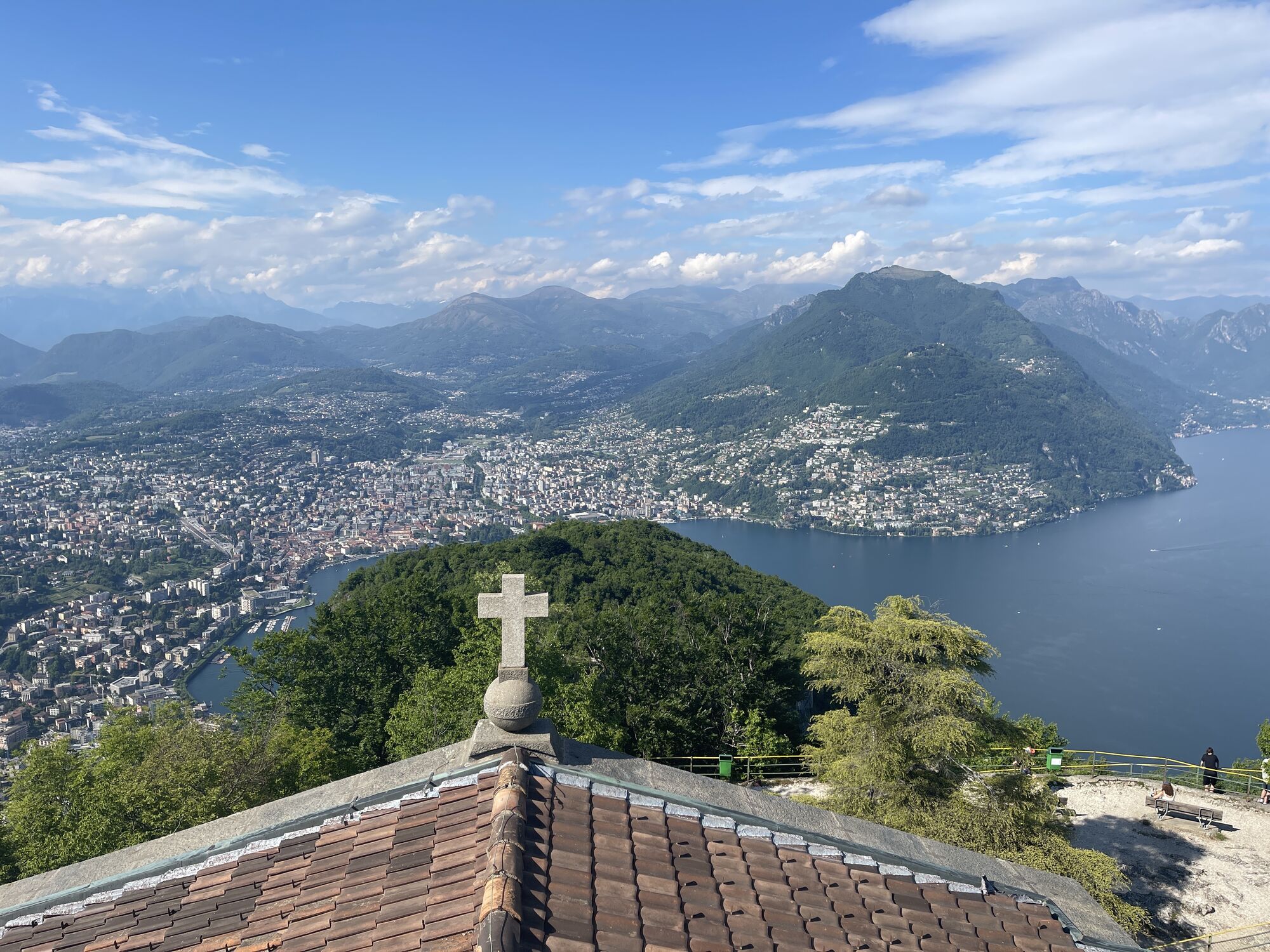
Photos from our users
-

 © FerdlCreated on 04.08.2025
 -
 © FerdlCreated on 04.08.2025
 -

 © PerryBCreated on 15.06.2025
 -
 © PerryBCreated on 15.06.2025
 -

 © Thomas BodmerCreated on 25.05.2025
 -
 © Thomas BodmerCreated on 25.05.2025
 -
 © Thomas BodmerCreated on 25.05.2025
 -
 © Thomas BodmerCreated on 25.05.2025
 -
 © Thomas BodmerCreated on 25.05.2025
 -
 © Thomas BodmerCreated on 25.05.2025
 -
 © Thomas BodmerCreated on 25.05.2025
 -
 © Thomas BodmerCreated on 25.05.2025
 -
 © Thomas BodmerCreated on 25.05.2025
 -
 © Thomas BodmerCreated on 25.05.2025
 -
 © Thomas BodmerCreated on 25.05.2025
 -
 © Thomas BodmerCreated on 25.05.2025
 -
 © Thomas BodmerCreated on 25.05.2025
 -

 © Urs SchelbertCreated on 14.09.2025


Route
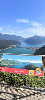
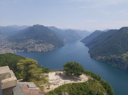
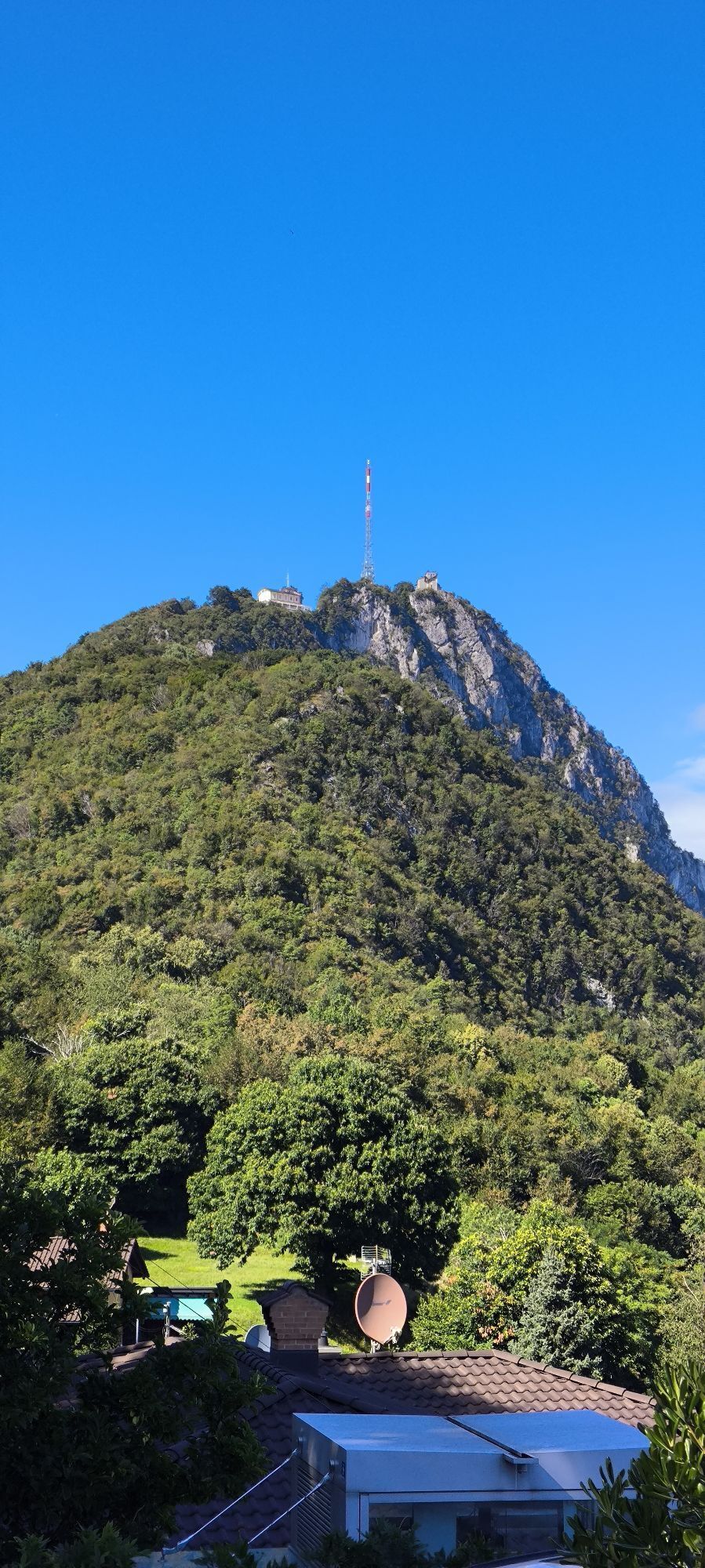
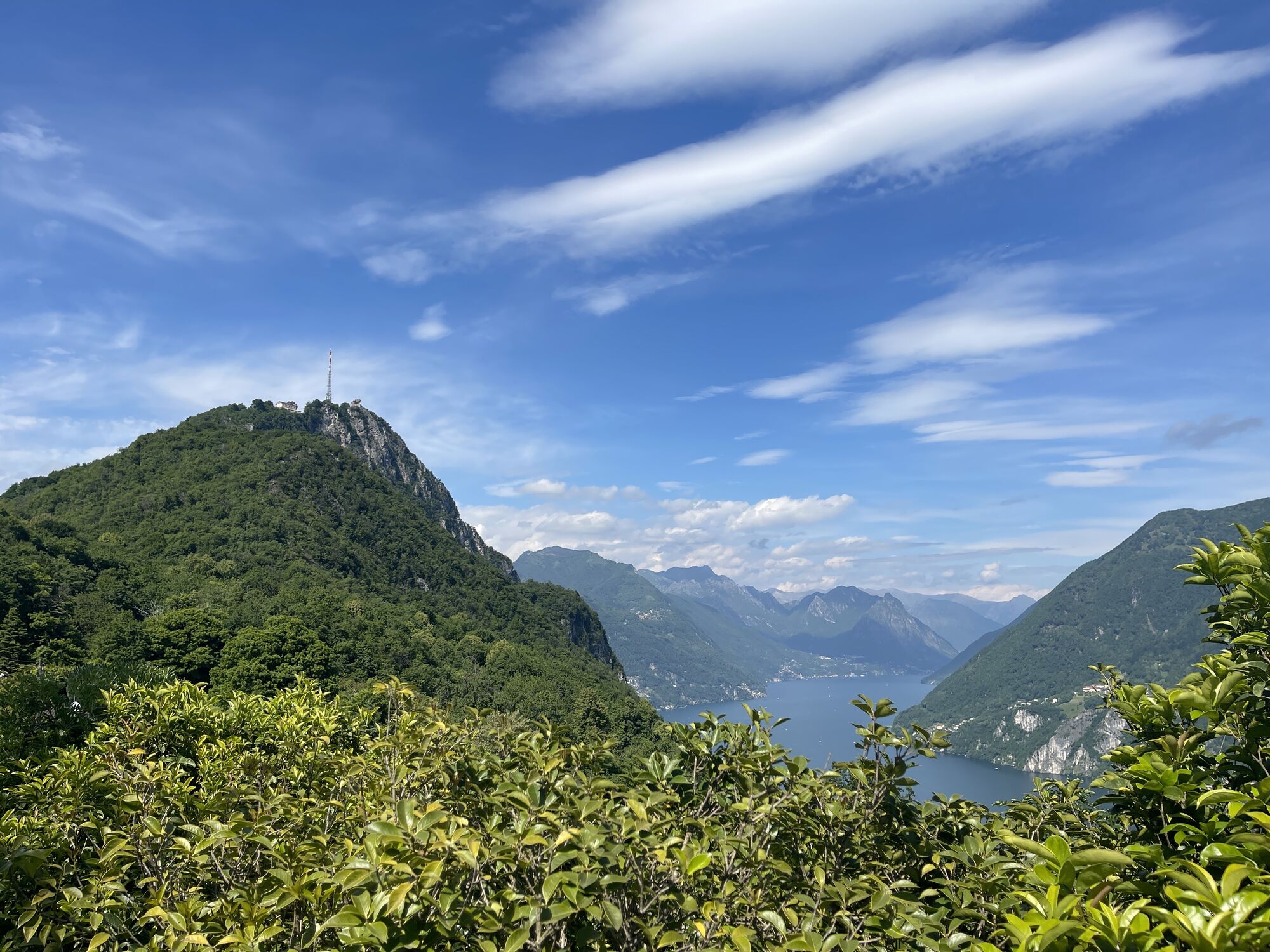
Monte San Salvatore
(912 m)
Summit
0,0 km
Oratorio Santa Maria delle Grazie
(616 m)
Place of worship
1,9 km
Carona
(597 m)
Village
3,5 km
Oratorio di Sant'Antonio da Padova
(339 m)
Place of worship
9,1 km
Chiesa di Santa Maria del Sasso
(338 m)
Place of worship
9,1 km
Route
Monte San Salvatore - Oratorio di Sant'Antonio da Padova - Lugano - Morcote
light
Pješačenje
9,41
km
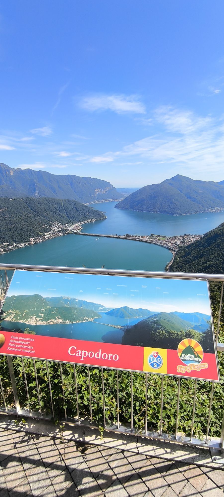
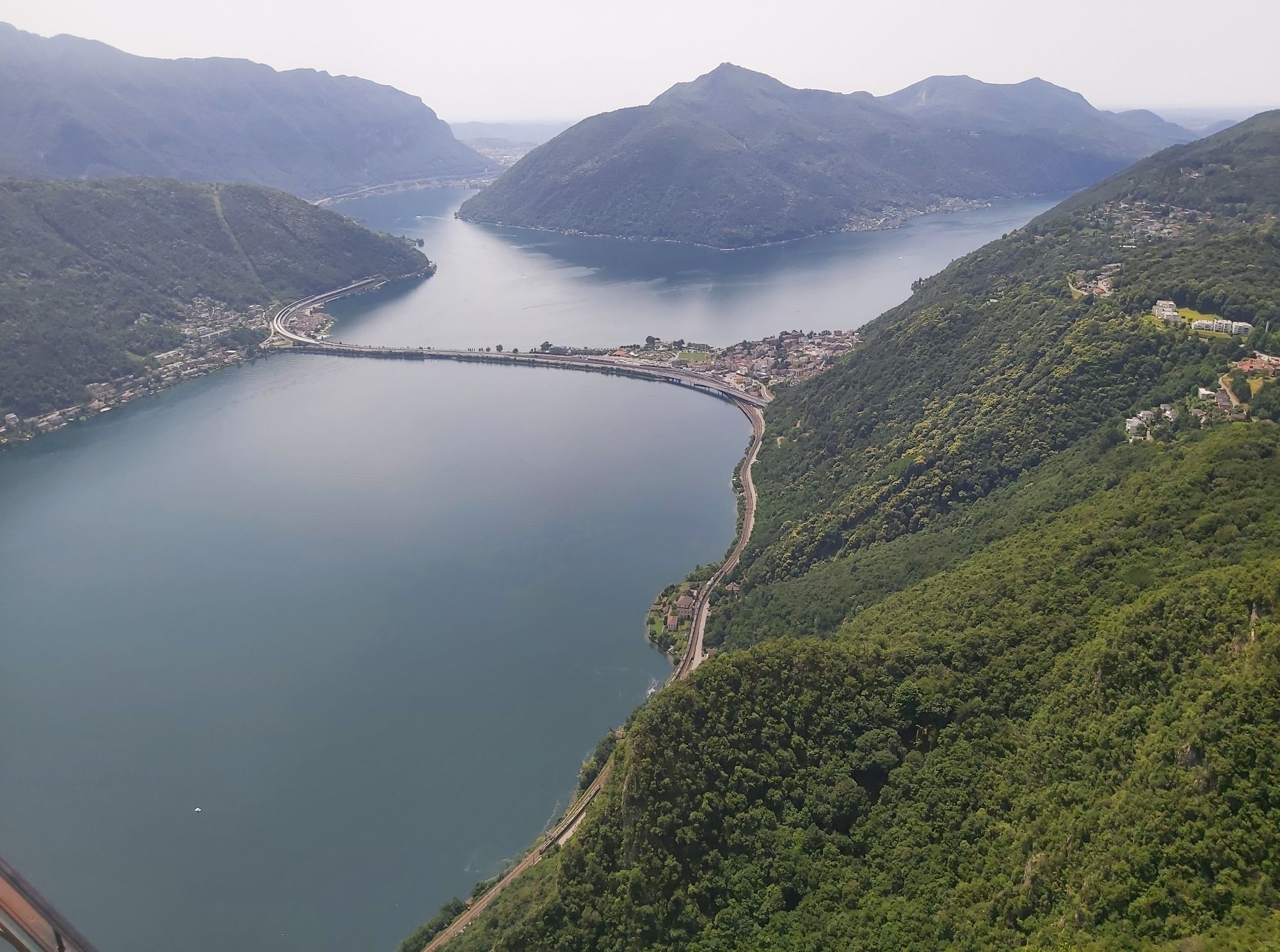
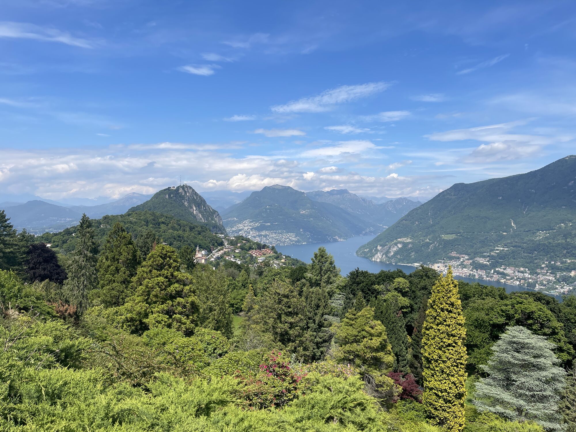
Lugano
(273 m)
City
0,0 km
Monte San Salvatore
(912 m)
Summit
0,0 km
Vetta San Salvatore
(882 m)
Restaurant
0,0 km
Carabbia
(523 m)
Village
1,2 km
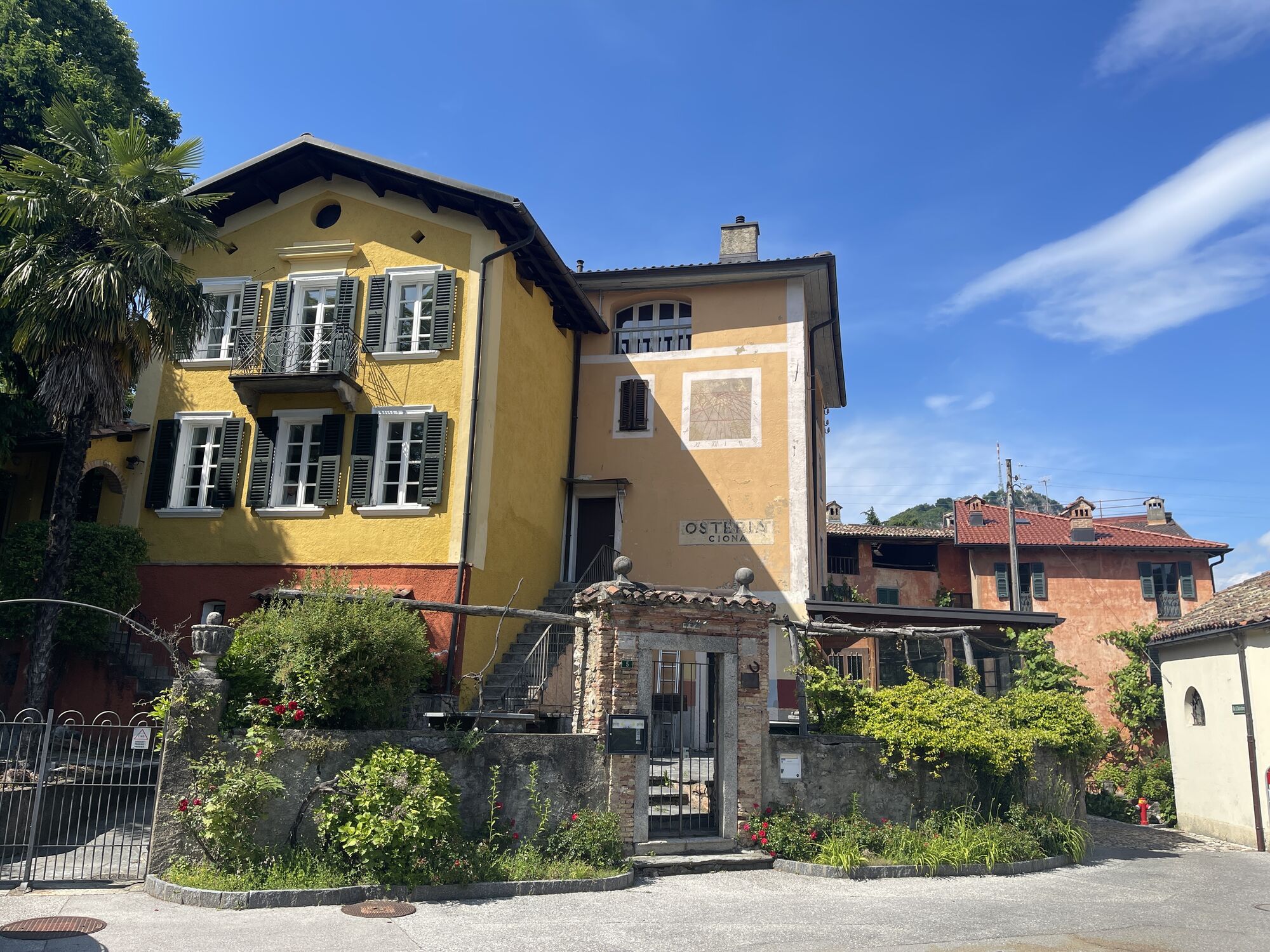
Ciona
(616 m)
Settlement
1,8 km
Oratorio Santa Maria delle Grazie
(616 m)
Place of worship
1,9 km
Carona
(597 m)
Village
3,5 km
San Grato
(691 m)
Corridor/terrain
4,5 km
Pescia
(735 m)
Settlement
5,6 km
Ristorante Vicania
(663 m)
Restaurant
7,4 km
Oratorio di Sant'Antonio da Padova
(339 m)
Place of worship
9,1 km
Chiesa di Santa Maria del Sasso
(338 m)
Place of worship
9,1 km
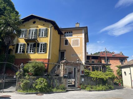
Morcote
(272 m)
Village
9,3 km
No reviews yet
Popular tours in the neighbourhood
-
4,7
Sentiero del Monte Generoso (SwitzerlandMobility 635)
mediumPješačenje 9,22 km -
4,6
Abendwanderung
mediumPješačenje 8,01 km -
5,0
Denti della Vecchia
mediumPješačenje 14,7 km -
3,0
Bellavista - Monte Generoso
lightPješačenje 2,60 km -
S.Salvatore
lightPješačenje 15,0 km -
5,0
Valle di Muggio
mediumPješačenje 14,2 km -
Val Mara - Muggio Valley
mediumPješačenje 13,0 km -
Sentiero del Monte San Giorgio (SwitzerlandMobility 636)
mediumPješačenje 12,7 km -
5,0
breno-alpe mageno-zottone-forcola di atasio-breno
mediumPješačenje 10,8 km -
5,0
Mendrisiotto Parks Route
mediumPješačenje 19,5 km
bergfex Tours

Over 550.000 tour suggestions, detailed maps and an intuitive route planner make the app a must-have for all nature enthusiasts.

Ne propustite ponude i inspiraciju za vaš sljedeći odmor
Subscribe to the newsletter
Error
An error has occurred. Please try again.
Thank you for your registration
Your e-mail address has been added to the mailing list.
Tours throughout Europe
Austrija
Švicarska
Njemačka
Italija
Slovenija
Francuska
Nizozemska
Belgija
Poljska
Lihtenštajn
Češka
Slovačka
Španija
Hrvatska
Bosna i Hercegovina
Luksemburg
Andora
Portugal
Island
Ujedinjeno Kraljevstvo
Irska
Grčka
Albanija
Sjeverna Makedonija
Malta
Norveška
Crna Gora
Moldova
Kosovo
Mađarska
San Marino
Rumunjska
Estonija
Latvija
Bjelorusija
Cipar
Litva
Srbija
Bugarska
Monako
Danska
Švedska
Finska