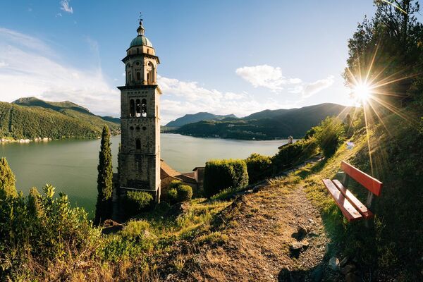
© Lugano Region - All rights reserved – Milo Zanecchia
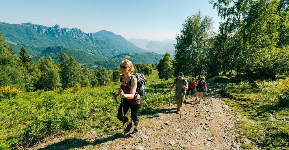
© Lugano Region - All rights reserved – Milo Zanecchia
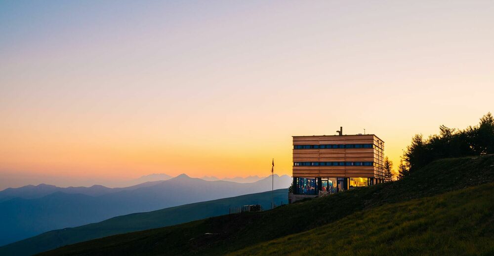
© Lugano Region - All rights reserved – Milo Zanecchia

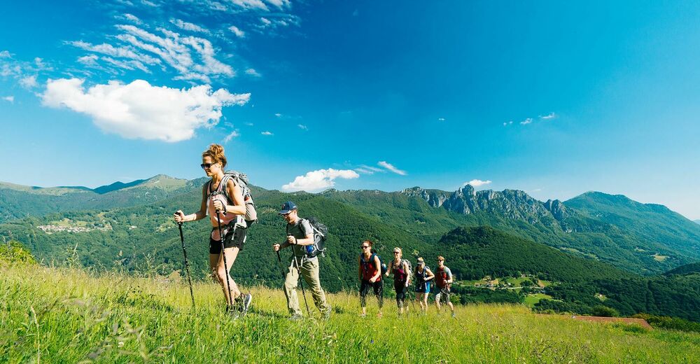
© Lugano Region - All rights reserved — Davide Adamoli

- Kratak opis
-
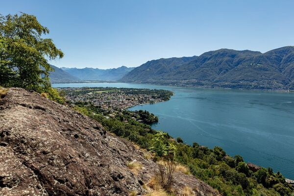
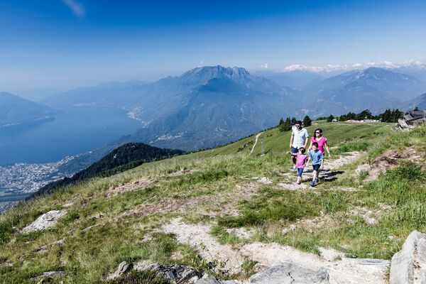
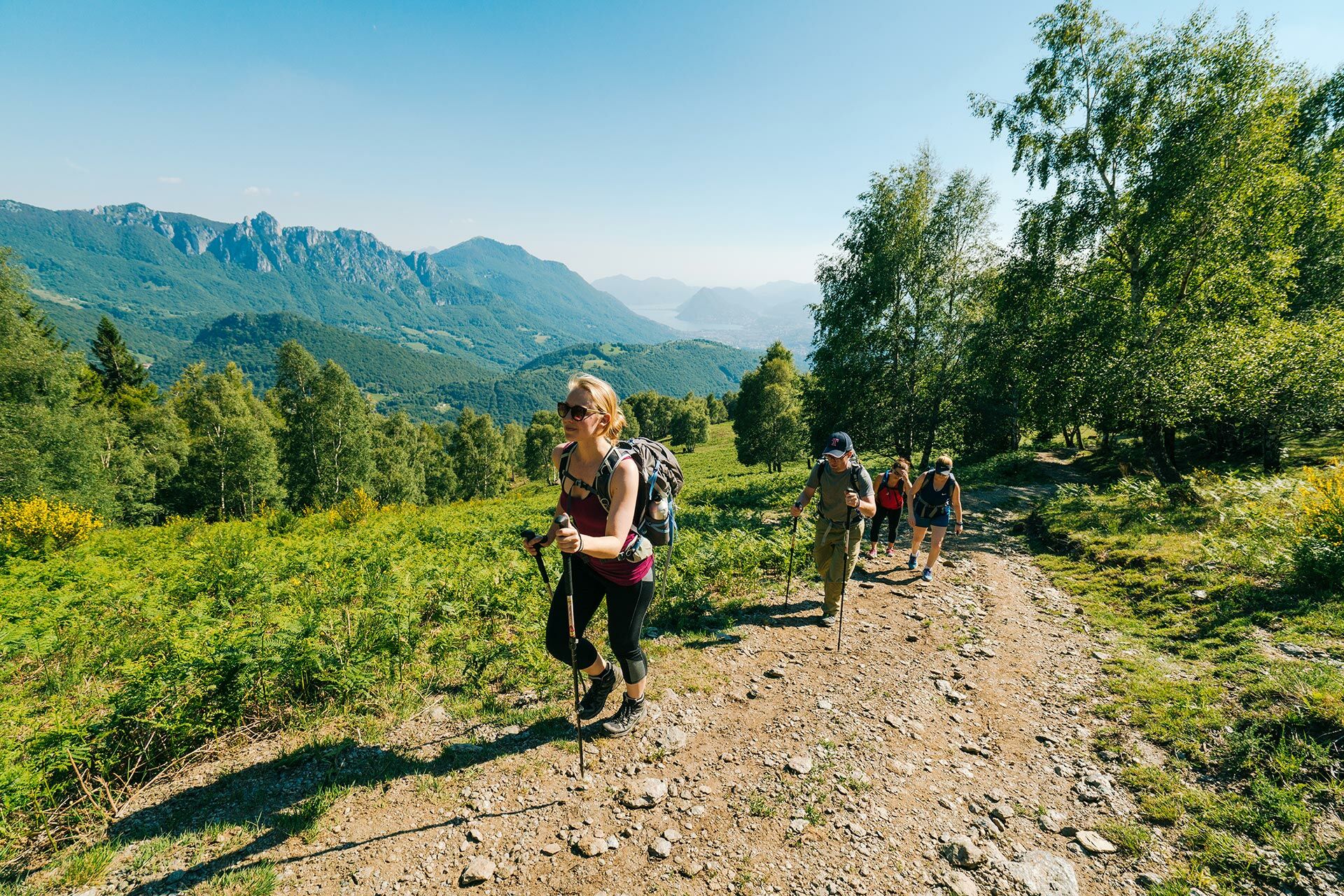
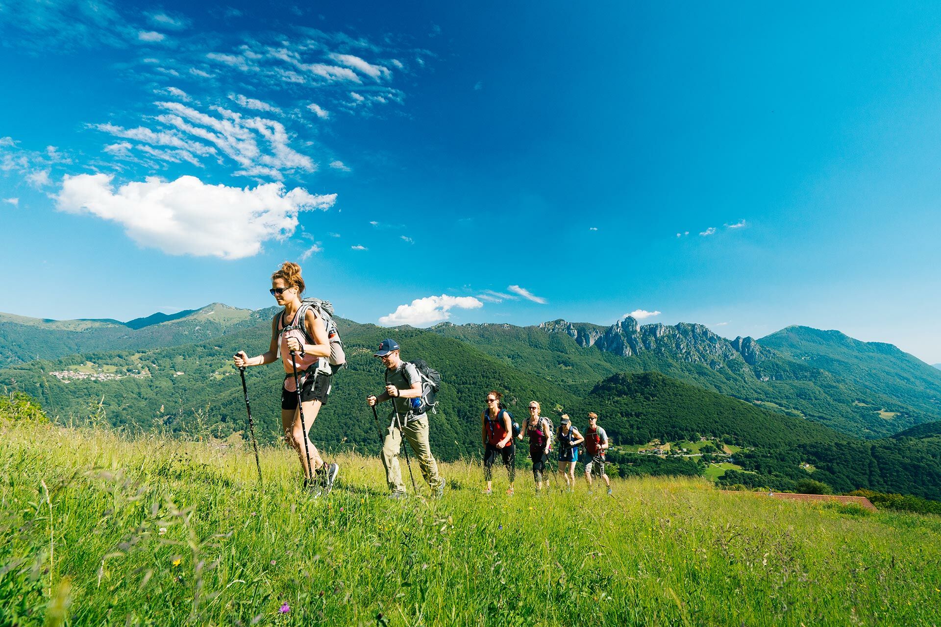
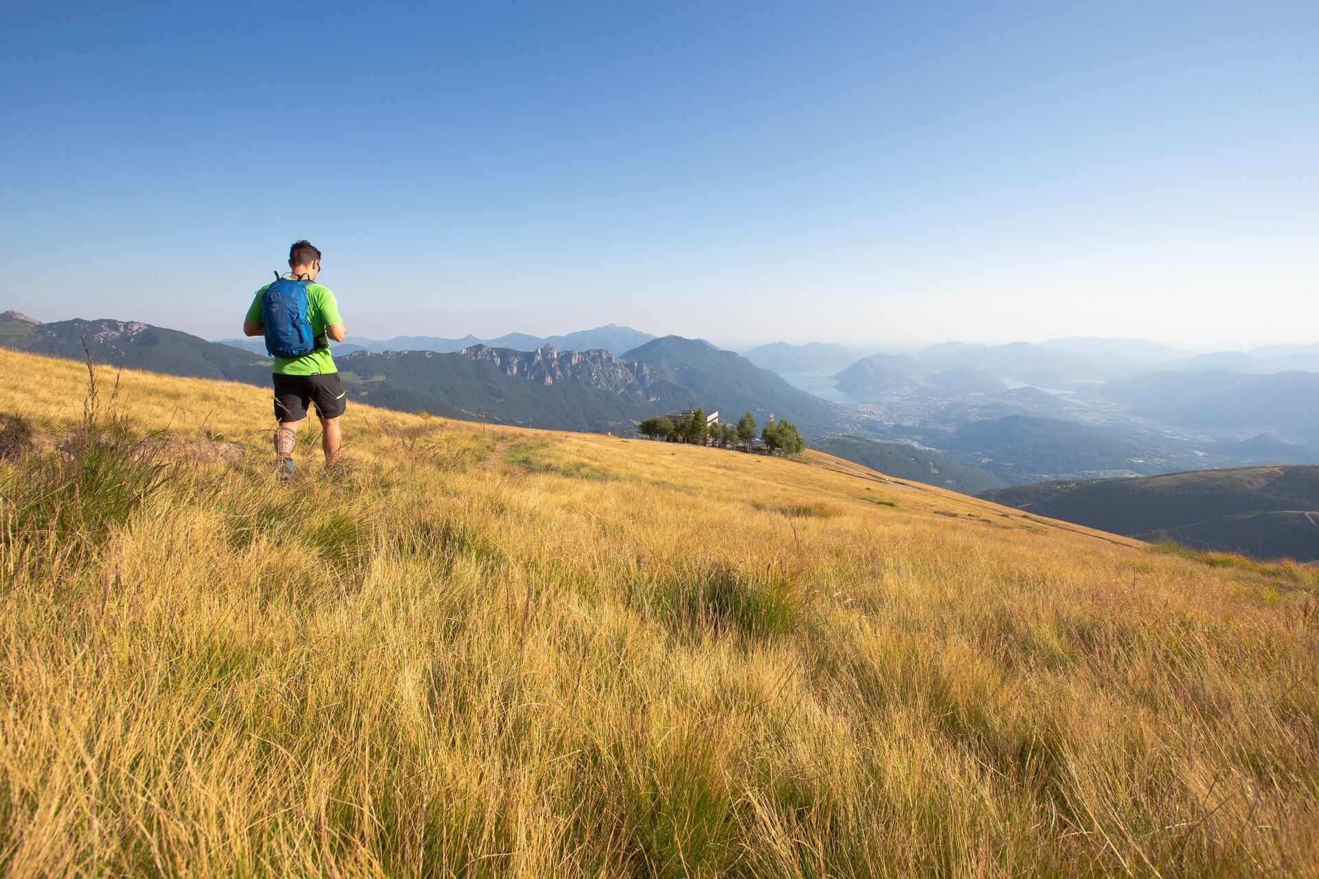
This hike, punctuated by woodland, meadows and alpine pastures, has been devised to help visitors discover an ever-changing environment.
- Teškoća
-
teška
- Vrednovanje
-
- Wegverlauf
-
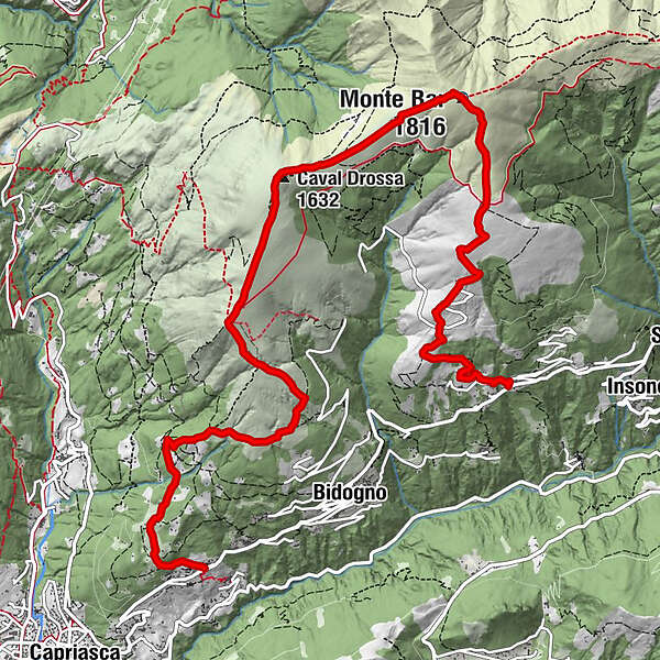
Albumo0,0 kmCorticiasca (1.060 m)0,1 kmAlpe Musgatina2,0 kmCapanna Monte Bar3,1 kmMonte Bar (1.816 m)4,1 kmCaval Drossa (1.632 m)5,8 kmMotto della Croce (1.380 m)7,1 kmBorisio (1.050 m)8,0 kmRoferit11,2 km
- Beste Jahreszeit
-
sijveljožutrasvilipsrpkolrujlisstupro
- Höchster Punkt
- 1.815 m
- Zielpunkt
-
Roveredo
- Höhenprofil
-
 © outdooractive.com
-

-
AutorDie Tour The Panoramic Path wird von outdooractive.com bereitgestellt.
GPS Downloads


Opće informacije
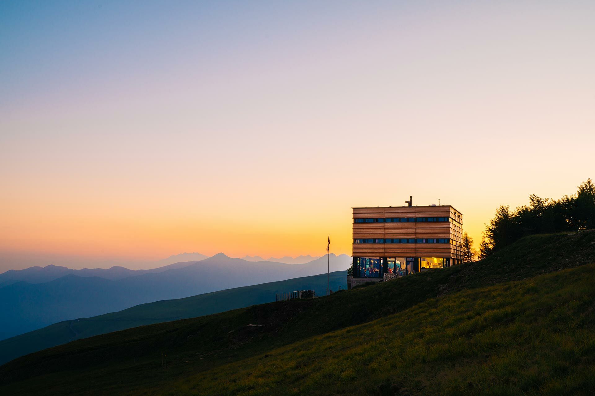
Einkehrmöglichkeit
Aussichtsreich
Weitere Touren in den Regionen
-
Lago Maggiore / Lombardei
745
-
Lugano und Umgebung
537
-
Capriasca
226