© NIVEA Wandertour/Randonnées NIVEA - Schweizer Wanderwege/Suisse Rando
© NIVEA Wandertour/Randonnées NIVEA - Schweizer Wanderwege/Suisse Rando
© NIVEA Wandertour/Randonnées NIVEA - Schweizer Wanderwege/Suisse Rando

- Kratak opis
-
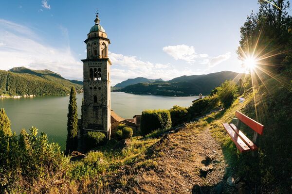
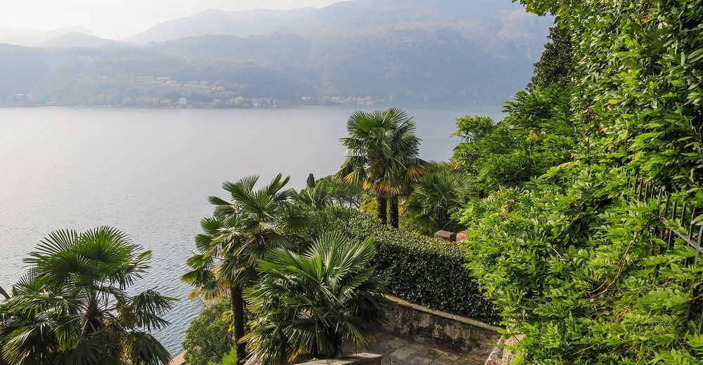
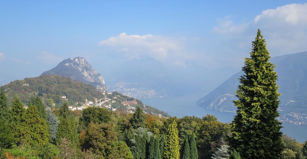
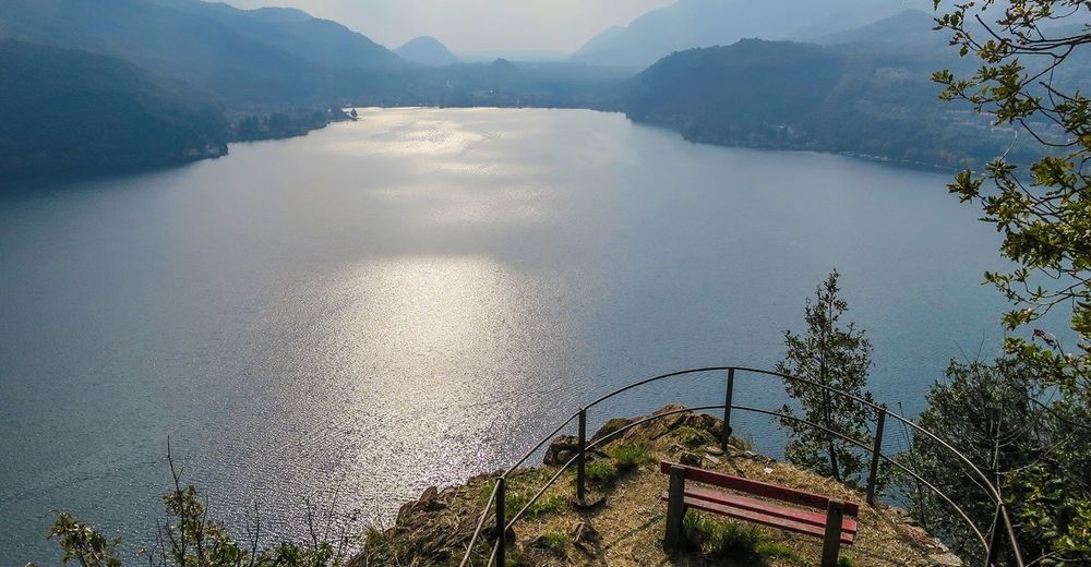
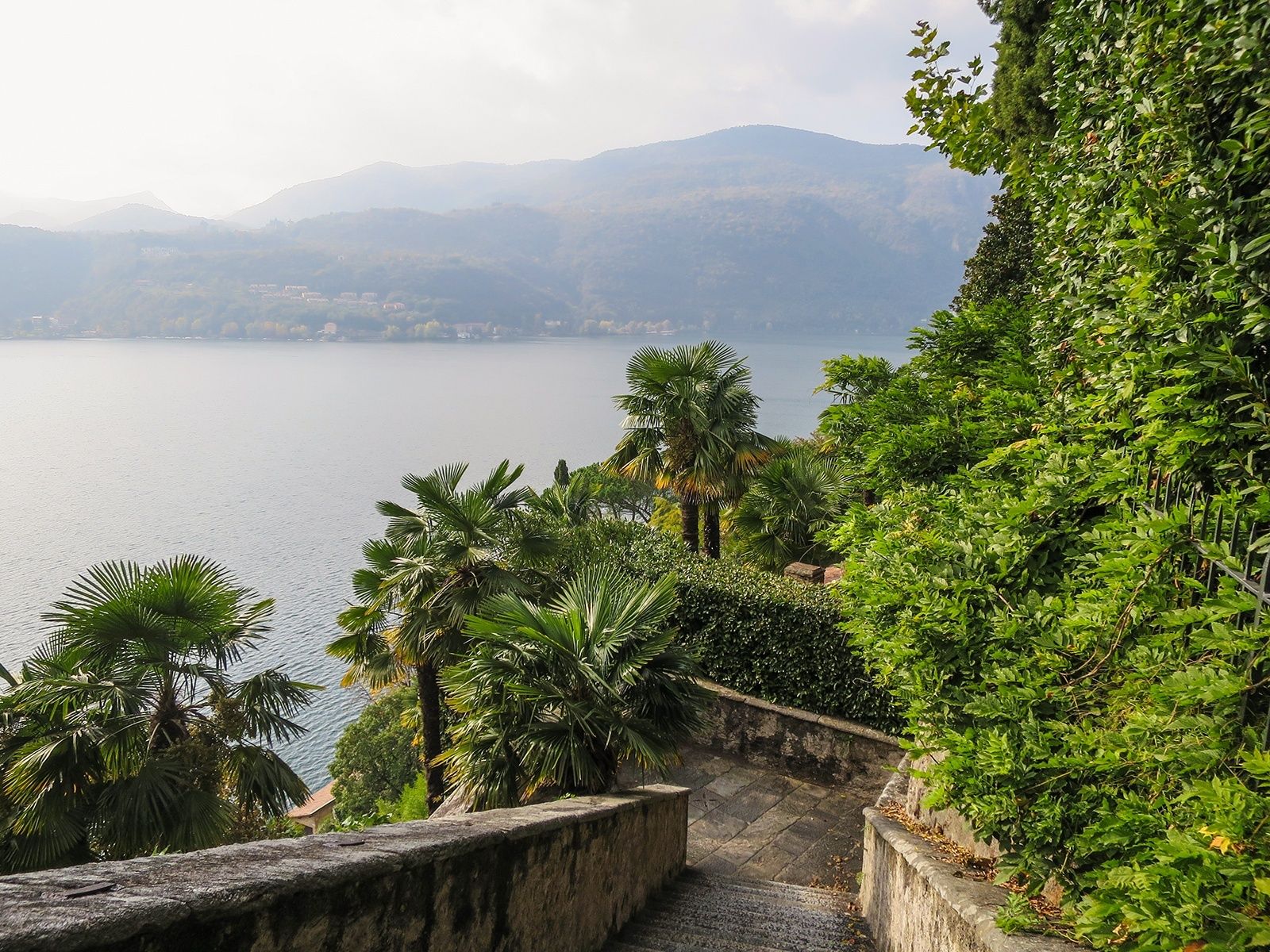
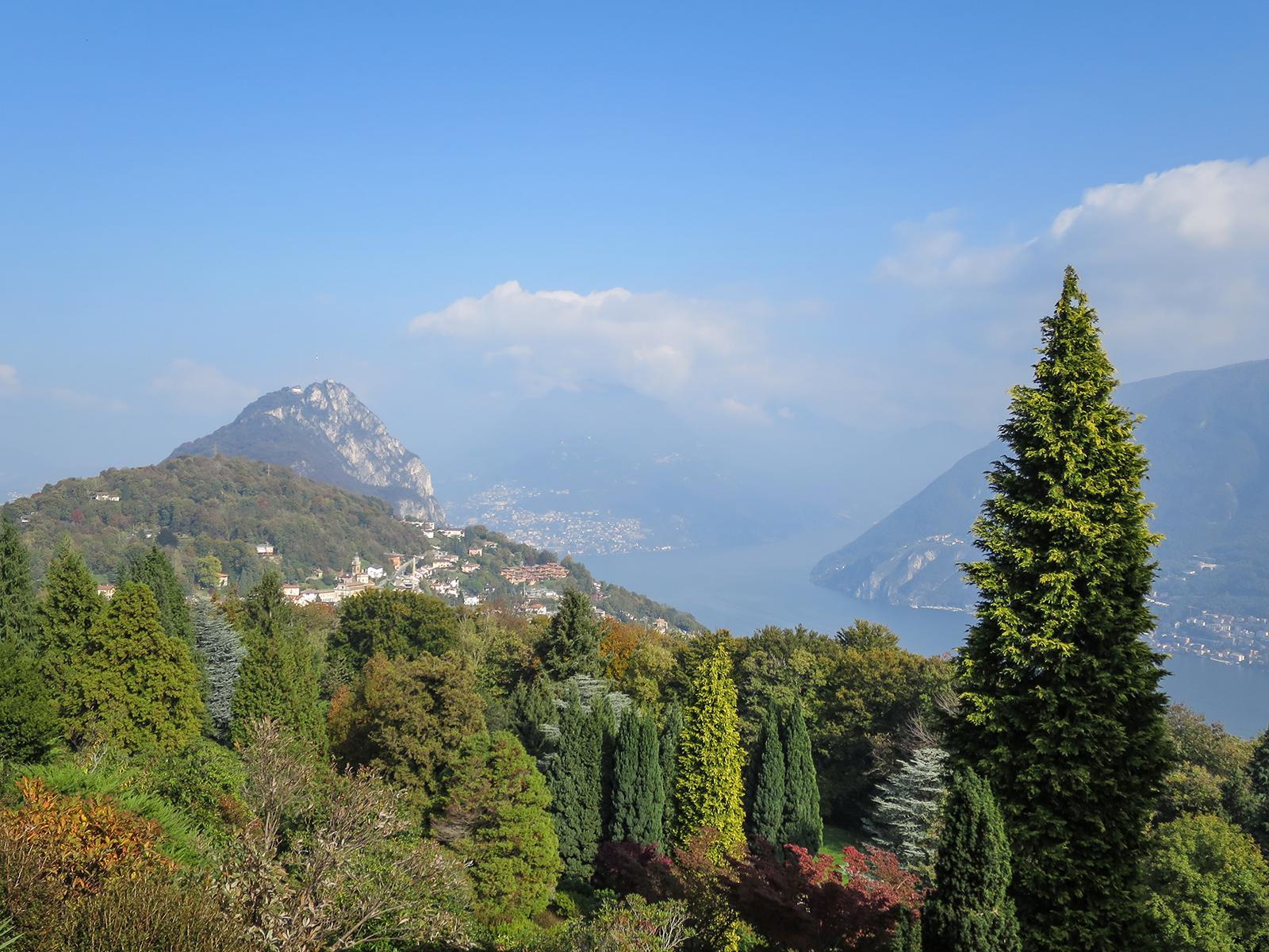
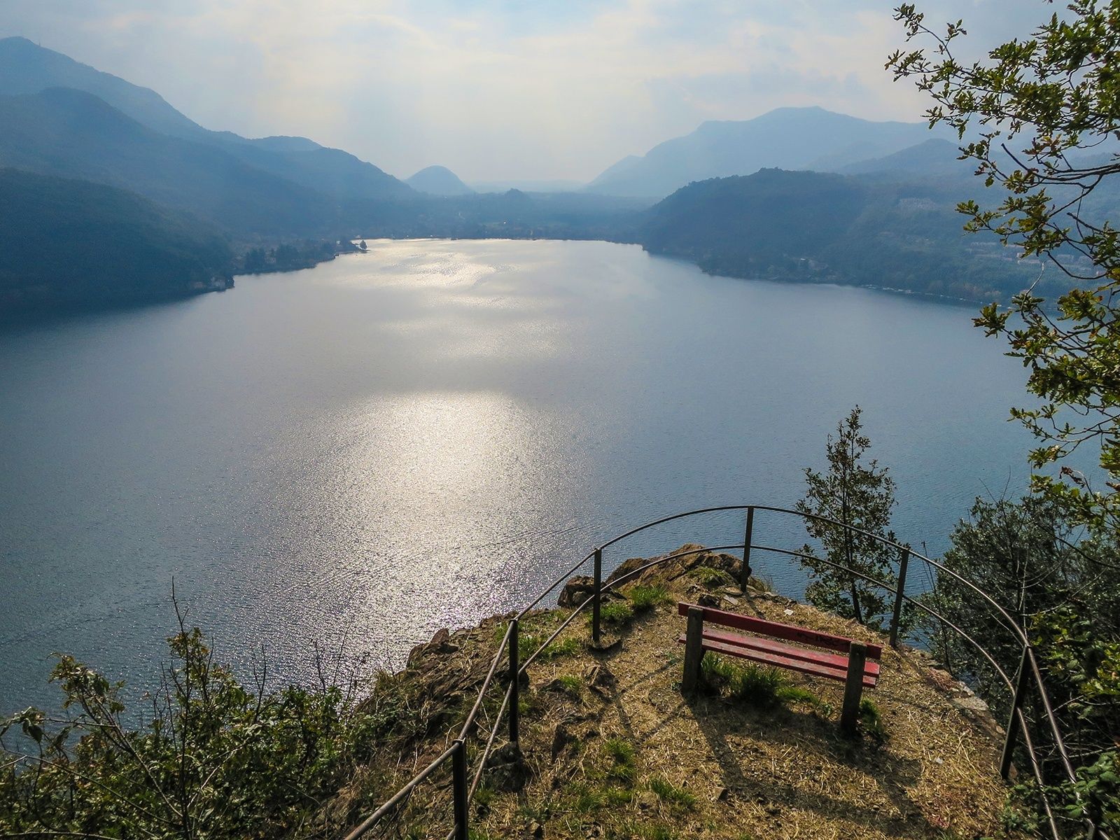
Wilde Flühe, milder See
- Teškoća
-
lagano
- Vrednovanje
-
- Wegverlauf
-
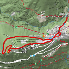
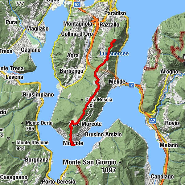
Lugano (273 m)Vetta San Salvatore0,0 kmCarabbia (523 m)0,9 kmCiona1,6 kmOratorio Santa Maria delle Grazie1,6 kmCarona (597 m)3,2 kmSan Grato4,2 kmPescia5,3 kmRistorante Vicania7,1 kmOratorio di Sant'Antonio da Padova8,9 kmChiesa di Santa Maria del Sasso8,9 kmMorcote (272 m)9,1 km
- Beste Jahreszeit
-
sijveljožutrasvilipsrpkolrujlisstupro
- Höchster Punkt
- 867 m
- Zielpunkt
-
Piazza Granda, Morcote
- Höhenprofil
-
 © outdooractive.com
- Autor
-
Die Tour Wanderung San Salvatore – Morcote wird von outdooractive.com bereitgestellt.
GPS Downloads


Opće informacije
Einkehrmöglichkeit
Flora
Aussichtsreich
Weitere Touren in den Regionen
-
Varese
510
-
Lugano und Umgebung
537
-
Carona
229