© Nationalpark Hainich - Toralf Klamm

© By Michael Fiegle (Own work (Original text: Eigene Fotografie)) [CC BY-SA 3.0 de (http://creativecommons.org/licenses/by-sa/3.0/de/deed.en)], via Wikimedia Commons - Michael Fiegle

© By Michael Fiegle (Own work) [CC BY-SA 4.0 (http://creativecommons.org/licenses/by-sa/4.0)], via Wikimedia Commons - Michael Fiegle

© Eichsfeld – Hainich - Tino Sieland

© Nationalpark Hainich - Cornelia Otto-Albers

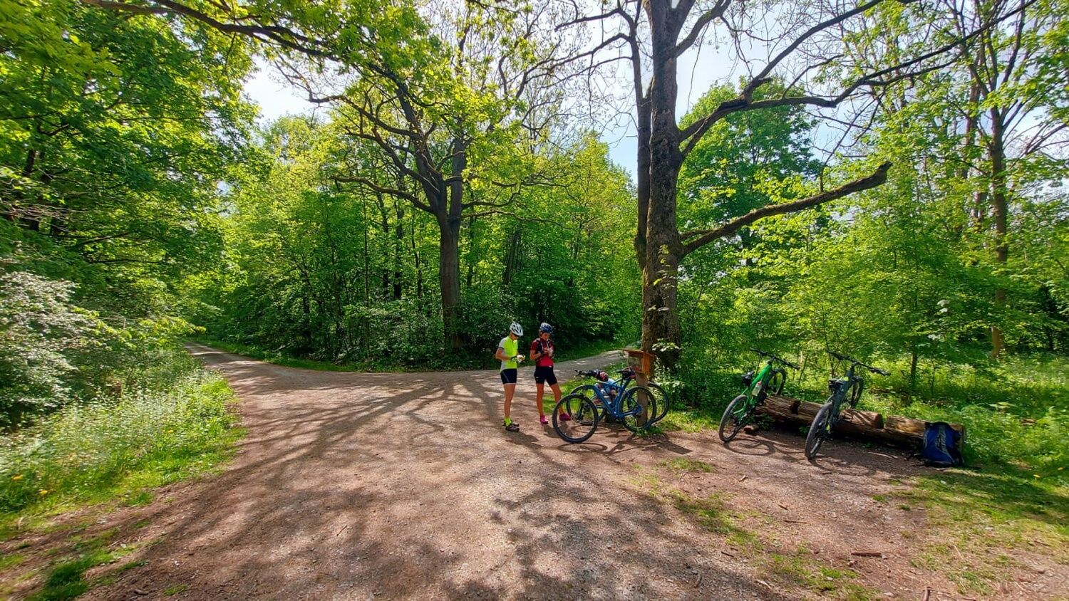
© Nationalpark Hainich - Toralf Klamm

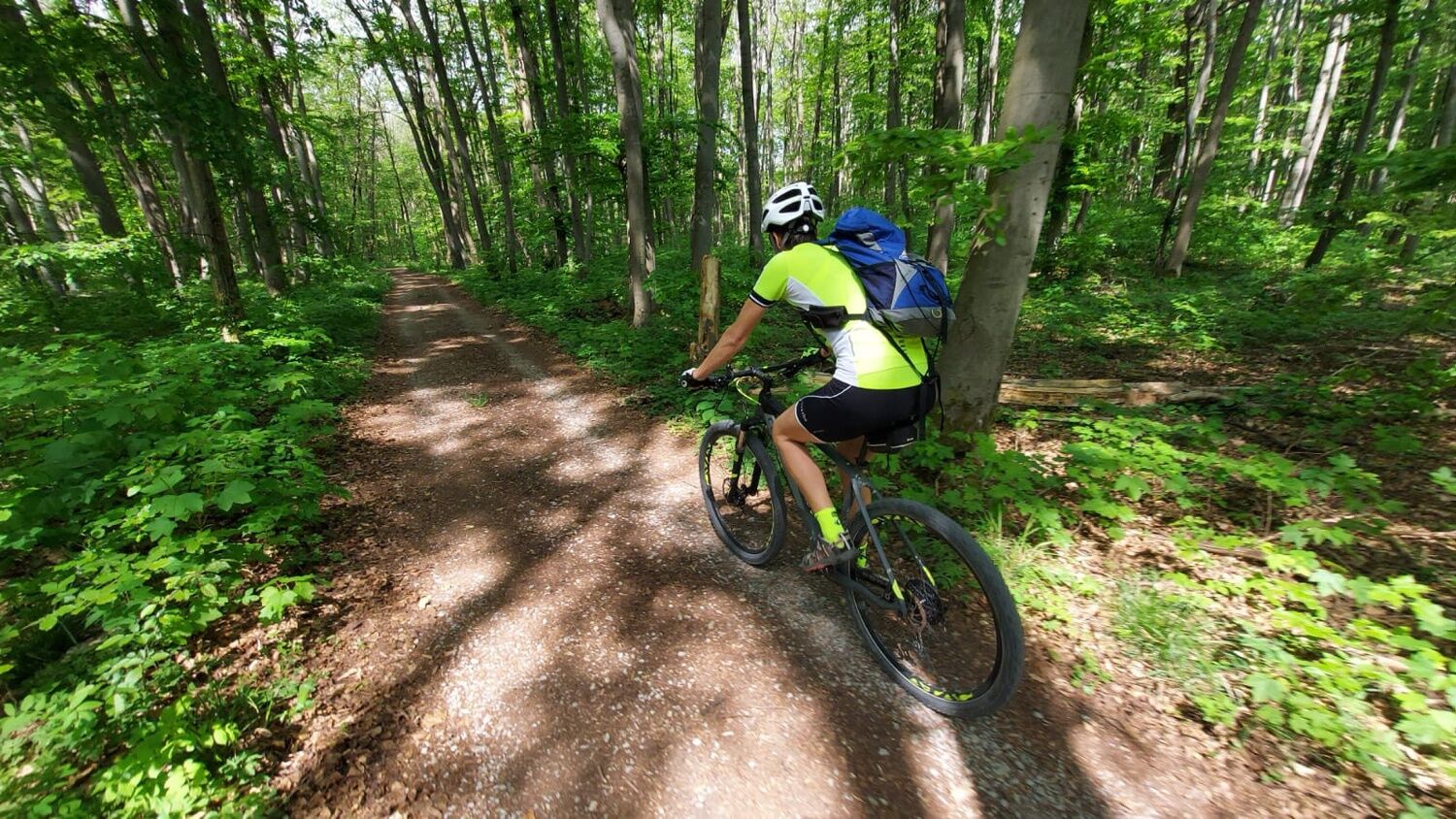
© Nationalpark Hainich - Thomas Stephan
Podaci o ruti
22,09km
201
- 459m
287hm
43hm
01:40h
- Kratak opis
-
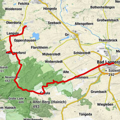
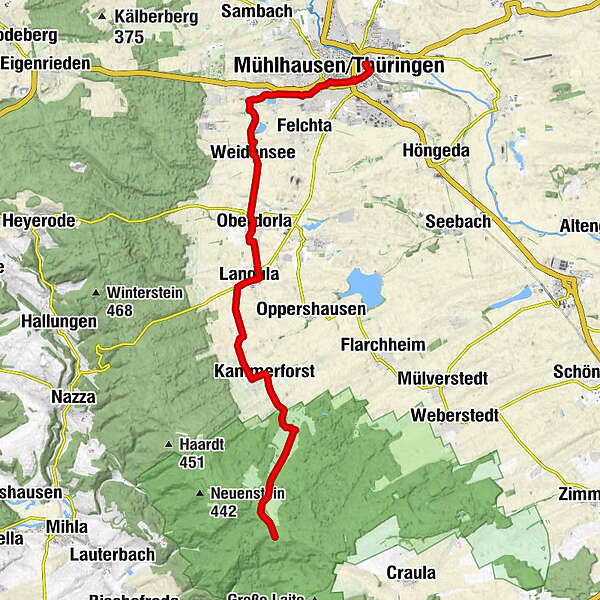
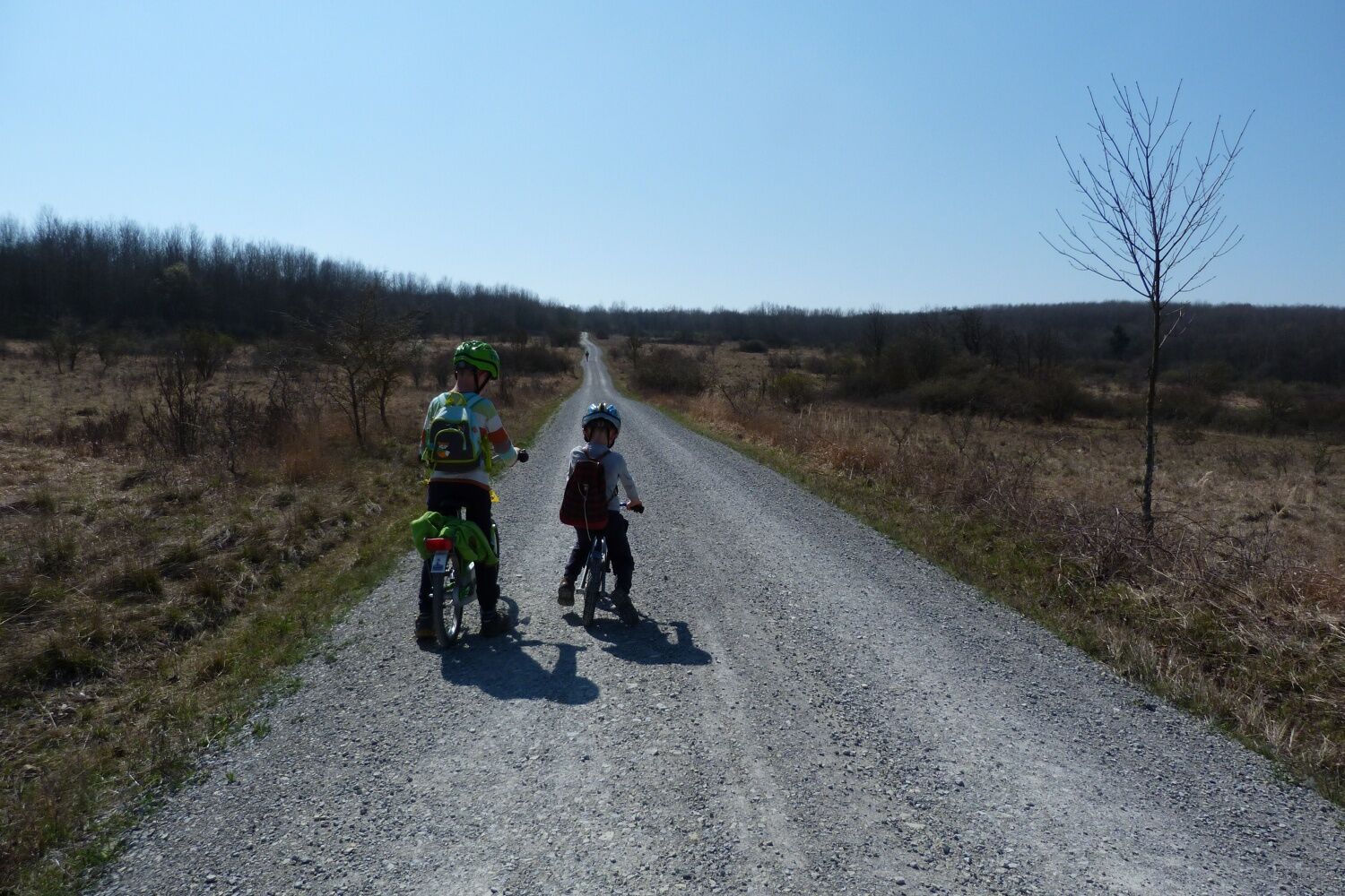
The red route is connecting Mühlhausen with the Hainich National Park.
- Teškoća
-
srednje
- Vrednovanje
-
- Wegverlauf
-
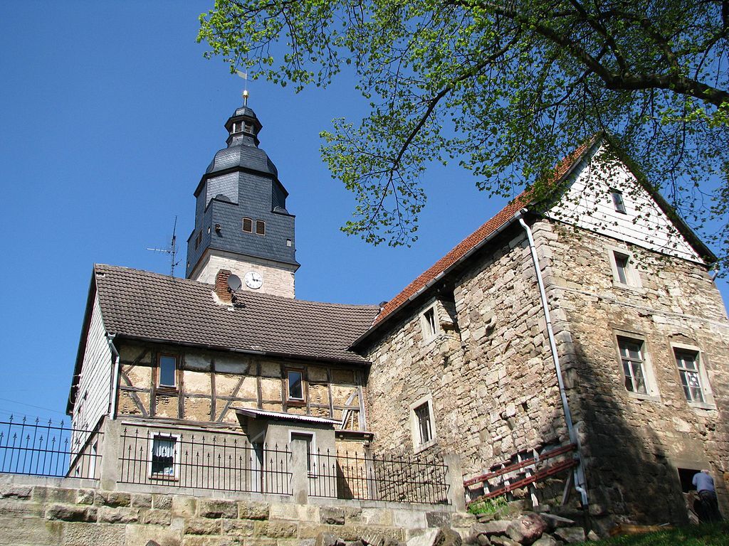
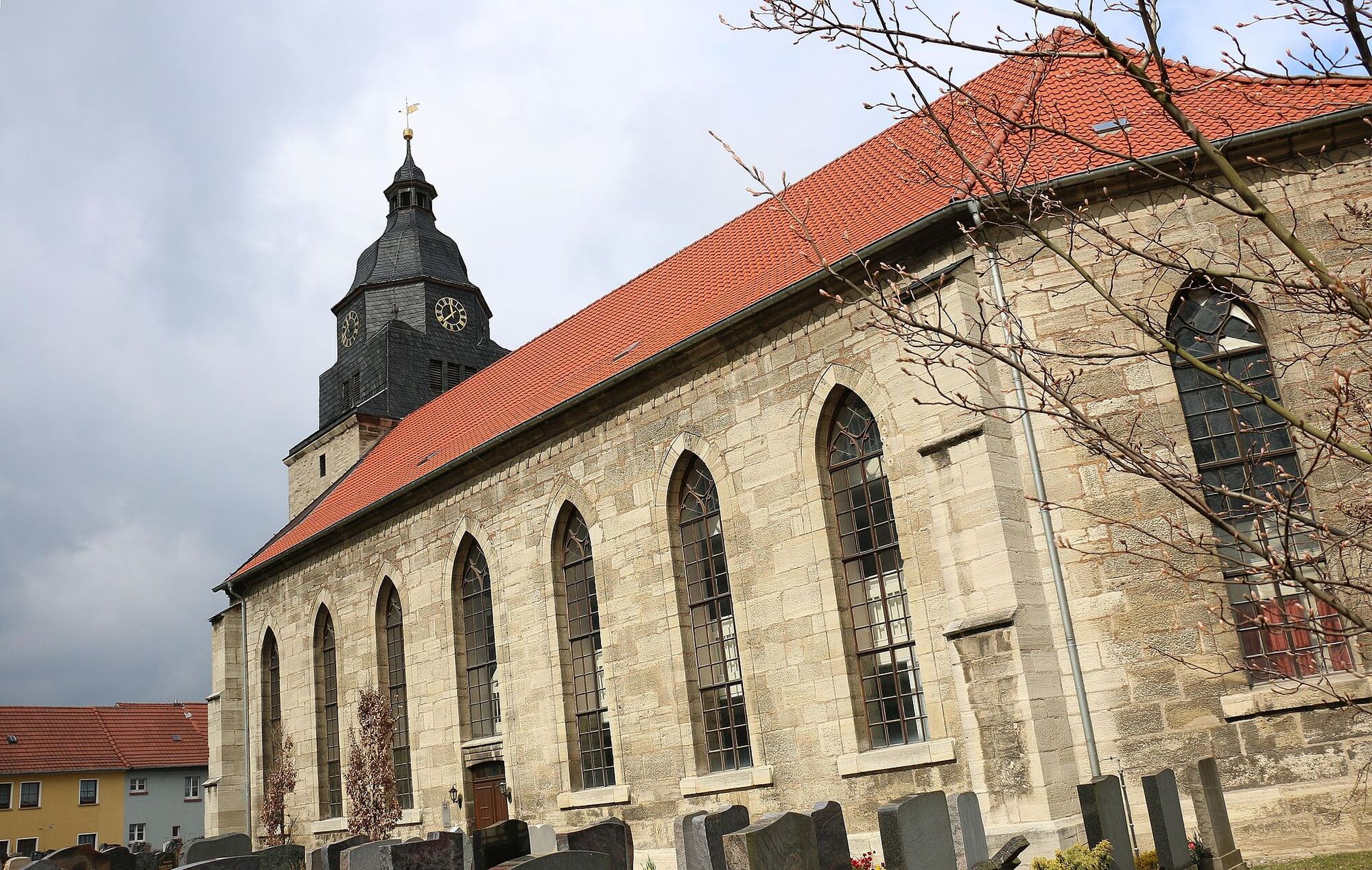
Sankt Martini0,9 kmMühlhausen/Thüringen1,5 kmKristanplatz1,6 kmPopperöder Quelle4,8 kmWeidensee6,6 kmOberdorla8,7 kmHaus Vogtei9,2 kmLangula11,4 kmKammerforst15,1 kmZum braunen Hirsch15,8 km
- Beste Jahreszeit
-
sijveljožutrasvilipsrpkolrujlisstupro
- Höchster Punkt
- 459 m
- Zielpunkt
-
Mühlhausen
- Höhenprofil
-
 © outdooractive.com
-

-
AutorDie Tour Red Route in the Hainich National Park wird von outdooractive.com bereitgestellt.
GPS Downloads


Opće informacije
Einkehrmöglichkeit
Weitere Touren in den Regionen